Plizio Visual Lab
Garoua-Boulaï
ℹ️Practical info — Garoua-Boulaï
▾
🌤 Weather — 5 days
📍 Nearby
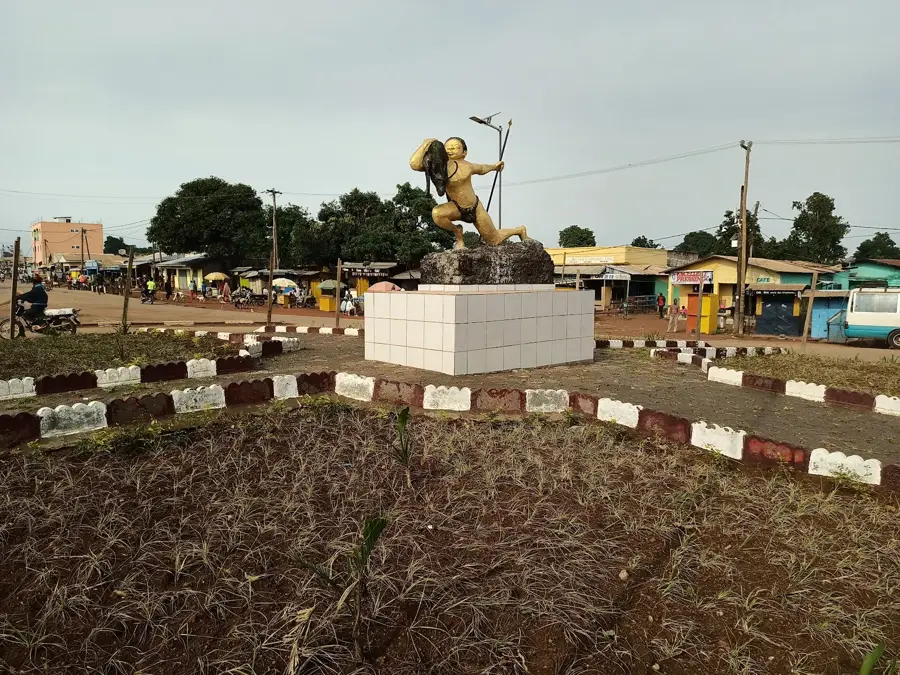
Sights nearby
💡 Tips
- Expect heavy transit traffic as this is a major border crossing to the Central African Republic.
- Always carry your passport and yellow fever certificate, as security checks are frequent.
- Cash in CFA francs is essential; ATMs are scarce and card payments are rarely accepted.
- The dry season from December to February is the most comfortable time to visit.
- Hire a trusted local guide if you plan to explore the dense forests surrounding the town.
🍽 Food
Try this traditional dish at the busy roadside eateries near the transport hubs.
Look for evening street food stalls grilling fish caught from nearby rivers.
A popular, filling local breakfast often sold by women at the morning market.
🛍 Shopping · 🧘 Quiet spots
The central hub for fresh fruits, vegetables, and local spices.
Find artisan stalls selling hand-carved wooden items from the surrounding forests.
Shop for animated West African wax prints in the small fabric shops downtown.
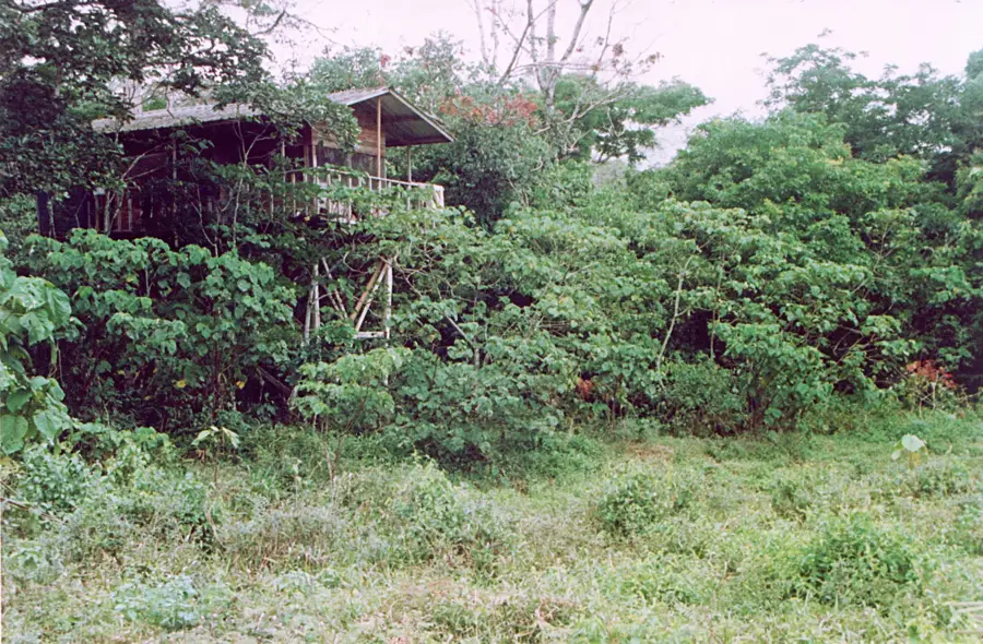
Take a guided stroll near the town's perimeter to appreciate the dense greenery.
The shaded yards of local churches offer a peaceful retreat from the busy streets.
Walk along the quieter residential paths early in the morning for a calm start to the day.
Water temperature…
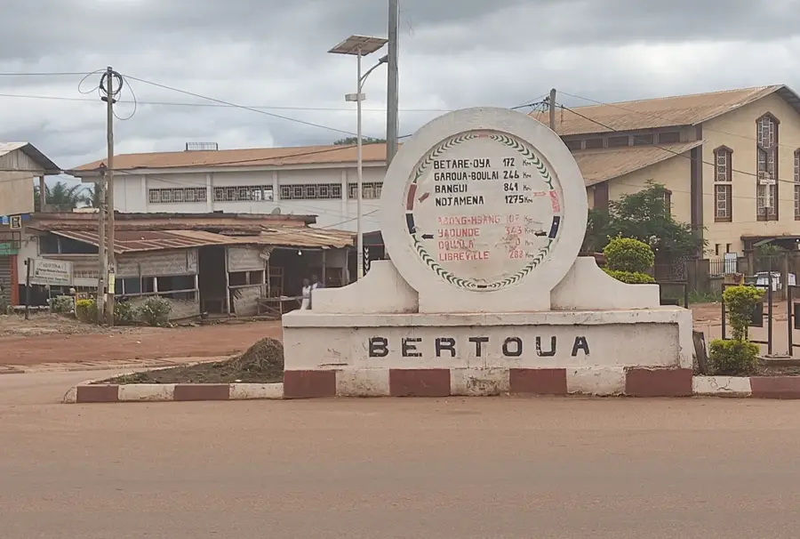
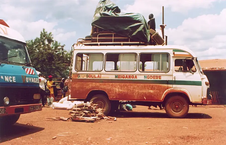
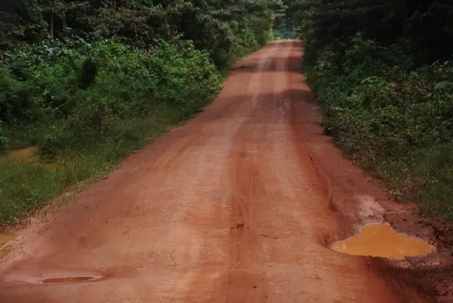
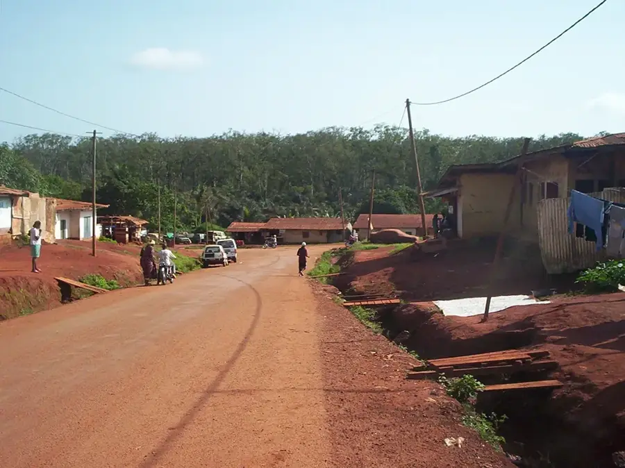
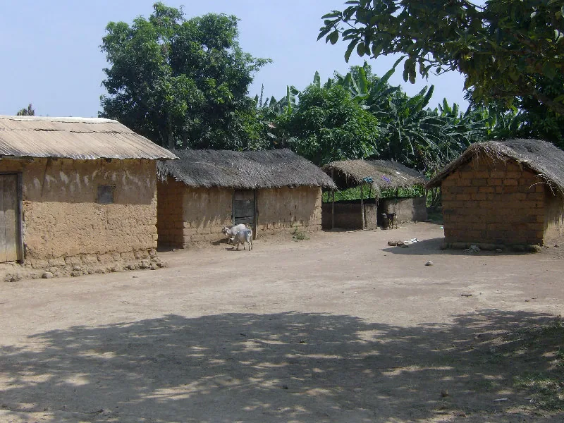
Garoua-Boulaï is the capital of Garoua-Boulaï subdivision in Lom-et-Djérem Department of the East Region and sits right on the border with the Central African Republic, about 280 kilometres north-east of Bertoua. Its roughly 40 000 inhabitants are mostly Gbaya, Mboum and Fulbe. The town is Cameroon's main border crossing with the CAR and therefore a central gateway for trade with Bangui and for humanitarian convoys. UNHCR and several NGOs run a major refugee reception centre here, as the region has hosted thousands of refugees from the Central African conflict for years. The economy rests on cattle and groundnut trade, fuel stations for truck convoys, yams, maize and cassava farming. Highlights include the border bridge, the cross-border market and the nearby Lutheran Hospital mission. The hot tropical climate with a marked dry season shapes the region's Guinea savanna.
- Location: Cameroon
- Nearby: Meiganga (74 km)
- Population: ~46.615 (2016)
Best time to visit & climate
The most pleasant time to visit is Jan, Nov, Dec.
| Jan | Feb | Mar | Apr | May | Jun | Jul | Aug | Sep | Oct | Nov | Dec | |
|---|---|---|---|---|---|---|---|---|---|---|---|---|
| Avg °C | 23 | 25 | 26 | 25 | 24 | 23 | 22 | 22 | 22 | 22 | 23 | 23 |
| Rain mm | 1 | 10 | 47 | 116 | 163 | 190 | 248 | 258 | 242 | 154 | 21 | 5 |
Geography
Facts
- Primary border crossing to CAR
- Region: East
- Located on the N1 national highway
- Strategic transit point for truck traffic
- Significant commercial hub
- Home to a large refugee community
Explore nearby
Notable places around
Route planner — Car & Motorhome
Where do you start? We build the route here, with stops and country notes along the way.
© OpenStreetMap contributors · OpenRouteService
Frequently asked questions
Is Garoua-Boulaï safe for tourists?
When is the best time to visit Garoua-Boulaï?
How to get to Garoua-Boulaï?
How long should I spend in Garoua-Boulaï?
What is near Garoua-Boulaï?
Garoua-Boulaï: where is it located?
Garoua-Boulaï: when is the best time to visit?
Garoua-Boulaï: why is it worth visiting?

Nearby cities
History & landmarks
More places