Plizio Visual Lab
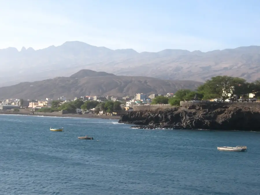
Santo Antão
Weather…
Water temperature…
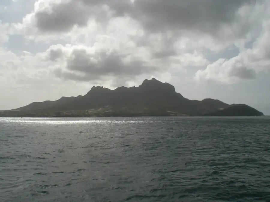
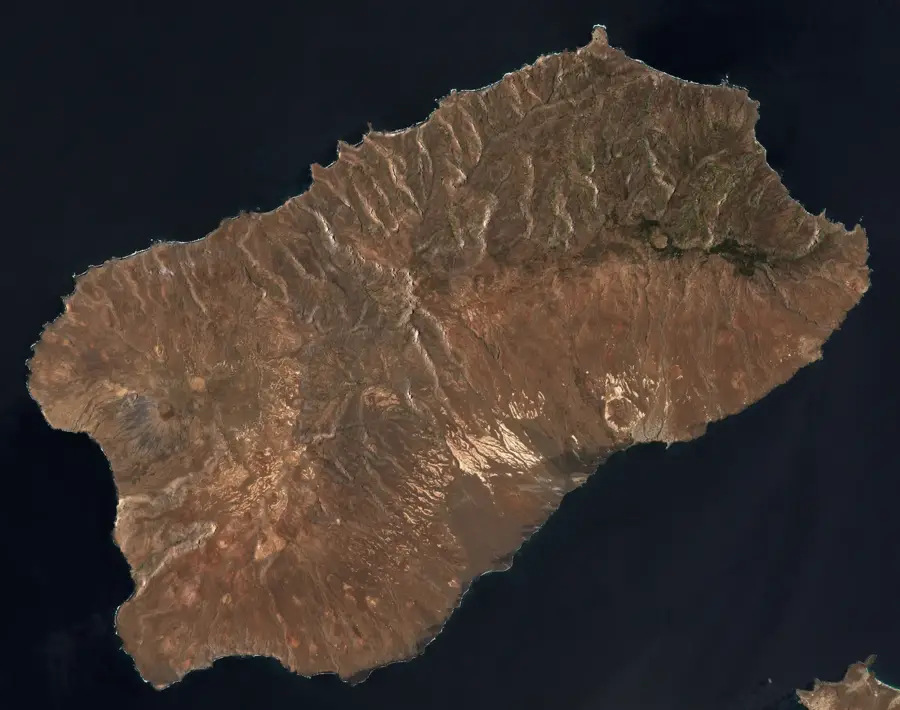
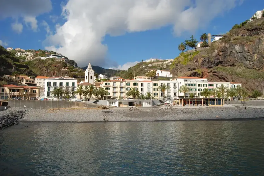
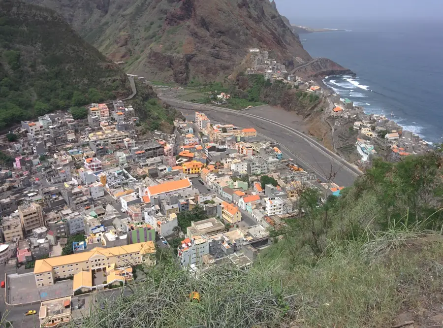
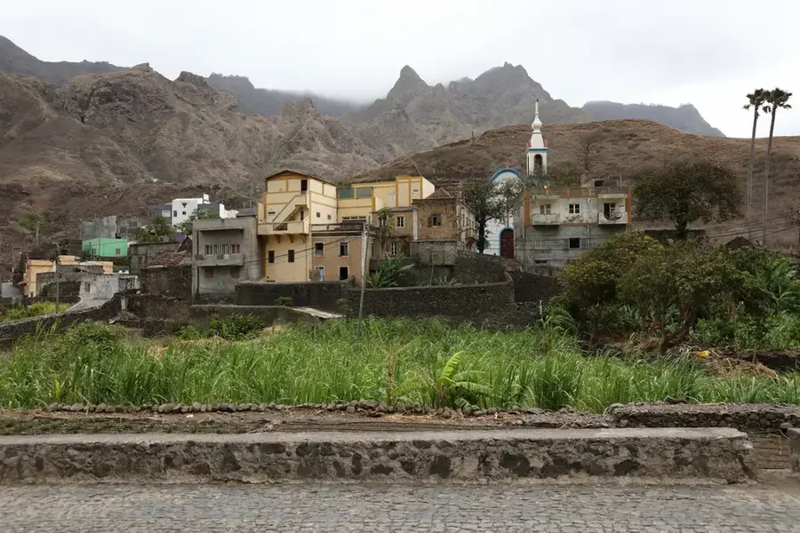
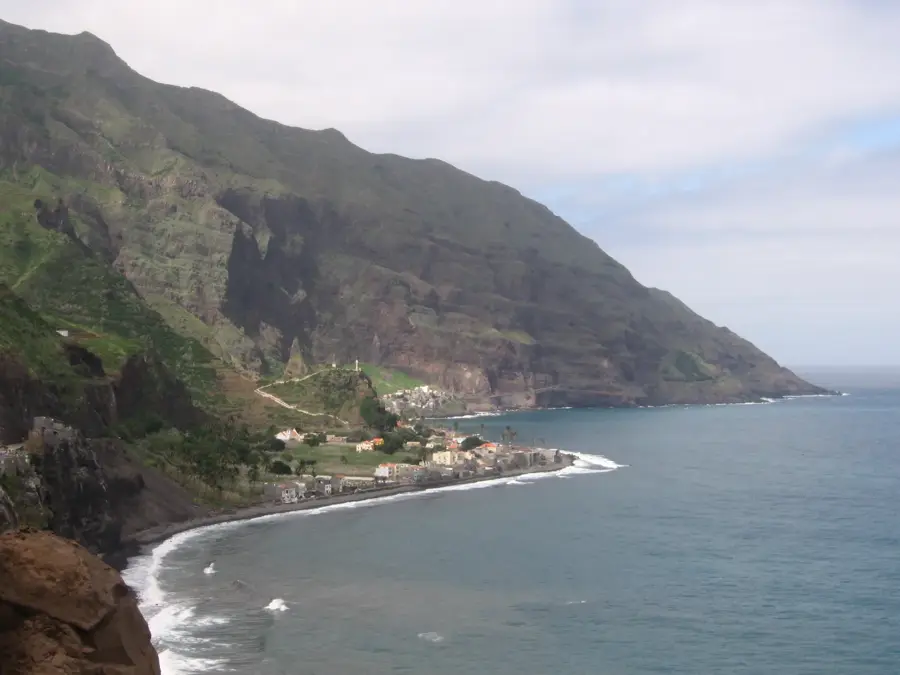
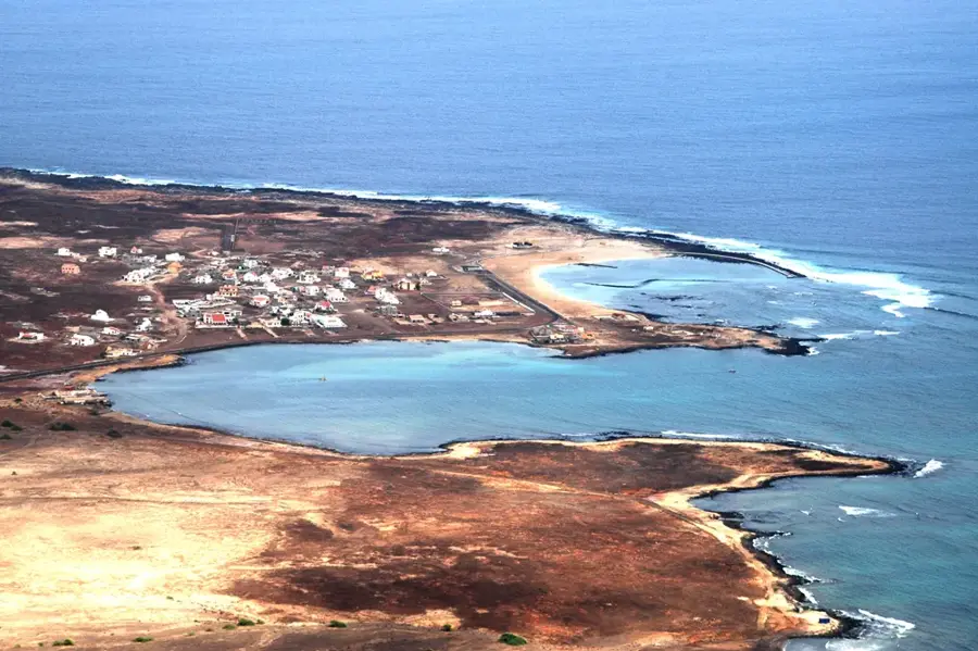
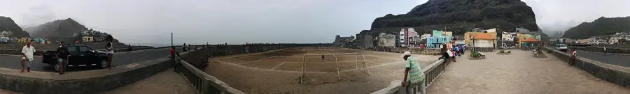
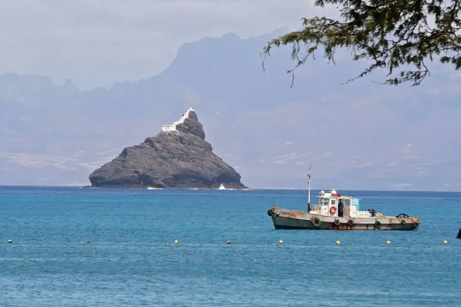
Santo Antão is the second-largest island of the Cape Verde archipelago and geographically its westernmost. The island is renowned for its dramatic topographical contrasts, shaped by massive volcanic activity in the past. While the south is arid and barren, the north provides lush green valleys and steep mountain ridges due to the influence of northeast trade winds. The island's highest peak, Topo de Coroa, rises 1,979 meters above sea level, dominating the rugged landscape. Historically, the island was difficult to access due to its sheer cliffs, which helped preserve unique flora and traditional agricultural methods such as terrace farming. In fertile areas like the Paúl Valley, coffee, sugarcane, and tropical fruits are cultivated. Santo Antão is considered the hub of Cape Verdean trekking tourism, as old donkey trails now serve as challenging hiking paths. The climatic diversity ranges from semi-arid coastal zones to cool, humid mountain regions, allowing for extraordinary biodiversity. The island's cultural identity is closely tied to agriculture and the production of grogue, a local sugarcane spirit.
- Location: Cape Verde
- Top sights: Belvédère avec vue sur le village de Corda. · Gudo de Matinho de Corda
- Nearby: Porto Novo (5 km)
Best time to visit & climate
The most pleasant time to visit is Mar–May.
| Jan | Feb | Mar | Apr | May | Jun | Jul | Aug | Sep | Oct | Nov | Dec | |
|---|---|---|---|---|---|---|---|---|---|---|---|---|
| Avg °C | 21 | 21 | 21 | 22 | 22 | 23 | 24 | 26 | 26 | 26 | 24 | 23 |
| Rain mm | 41 | 37 | 19 | 14 | 7 | 7 | 9 | 28 | 46 | 27 | 37 | 50 |
📋 Practical info
Geography
Facts
- The island covers a total land area of approximately 779 square kilometers.
- The Topo de Coroa volcano is the highest point at 1,979 meters.
- The island was discovered on January 17, 1462, by Diogo Afonso.
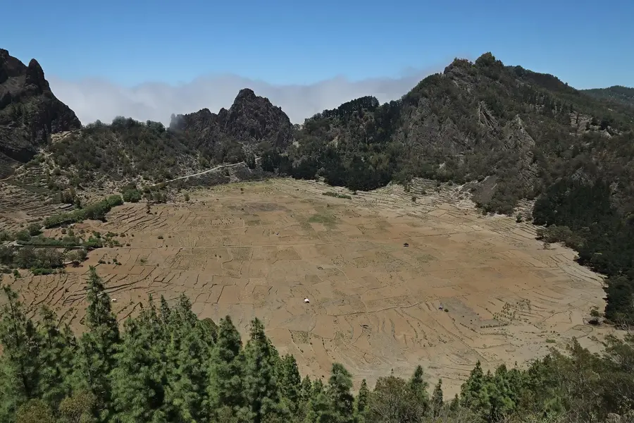
- The Cova de Paúl crater is extensively used for terrace farming.
- There is no longer any active volcanic activity on the island.
- Santo Antão is divided into three administrative municipalities.
Explore nearby
Notable places around
Route planner — Car & Motorhome
Where do you start? We build the route here, with stops and country notes along the way.
© OpenStreetMap contributors · OpenRouteService
Sights in the town Santo Antão (2)
Sights nearby
Frequently asked questions
How many days should you plan for Santo Antão?
How do you get to the island?
What is the island's typical dish?
Are the hiking trails well marked?
When is the best time for hiking?
Santo Antão: where is it located?
Santo Antão: what is there to see?
Santo Antão: when is the best time to visit?
Santo Antão: why is it worth visiting?

Nearby cities
History & landmarks

More places