Plizio Visual Lab
Cascade Range (Canada)
Weather…
Water temperature…
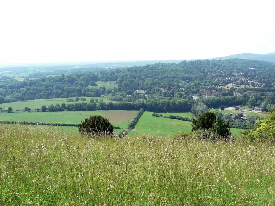
The Cascade Range is a major mountain range in western North America, extending from southern British Columbia through Washington and Oregon to Northern California. As part of the Pacific Ring of Fire, the range is characterized by a series of prominent volcanic peaks that rise dramatically above the surrounding terrain. Notable summits include Mount Rainier, the range's highest point, and Mount St. Helens, famous for its catastrophic 1980 eruption. The mountains were formed by the subduction of the Juan de Fuca tectonic plate beneath the North American Plate, a geological process that remains active today. The Cascades serve as a significant climatic barrier, intercepting moist air from the Pacific Ocean to create lush temperate rainforests on the western slopes while leaving the eastern side arid and rain-shadowed. This geographic diversity supports industries such as forestry and hydroelectric power and provides significant opportunities for geological research.
- Location: Canada
- Top sights: Jim Kelly Peak · Coquihalla Mountain · Tulameen Falls Recreation Site
- Nearby: Harrison Hot Springs (88 km)
Best time to visit & climate
The most pleasant time to visit is Jun–Aug.
| Jan | Feb | Mar | Apr | May | Jun | Jul | Aug | Sep | Oct | Nov | Dec | |
|---|---|---|---|---|---|---|---|---|---|---|---|---|
| Avg °C | -5 | -6 | -3 | 0 | 7 | 10 | 13 | 13 | 9 | 3 | -2 | -6 |
| Rain mm | 168 | 102 | 143 | 89 | 79 | 74 | 42 | 43 | 76 | 141 | 192 | 158 |
📋 Practical info
Geography
Facts
- Extends for over 1,100 km (700 miles) from Canada to California.
- Mount Rainier is the highest peak at 4,392 meters (14,411 feet).
- Part of the Pacific Ring of Fire, containing many active volcanoes.
- Mount St. Helens experienced a major eruption on May 18, 1980.
- Formed by the subduction of the Juan de Fuca plate.
- Home to Crater Lake, the deepest lake in the United States.
Explore nearby
Notable places around
Route planner — Car & Motorhome
Where do you start? We build the route here, with stops and country notes along the way.
© OpenStreetMap contributors · OpenRouteService
Sights in the town Cascade Range (Canada) (5)
Sights nearby
Frequently asked questions
Does the Cascade Range belong only to Canada?
What is the most famous park in this section?
Are there volcanoes there?
What activities are popular there?
Is the range forested?
Cascade Range (Canada): where is it located?
Cascade Range (Canada): what is there to see?
Cascade Range (Canada): when is the best time to visit?
Cascade Range (Canada): why is it worth visiting?

Nearby cities