Plizio Visual Lab
Kaélé

ℹ️Practical info — Kaélé
▾
🌤 Weather — 5 days
📍 Nearby
Sights nearby
💡 Tips
- Known for the local Boboyo culture; ask locals about traditional dances if you visit during festival times.
- The climate is very hot and dry, so light cotton clothing is a must.
- Transport to and from Maroua is by bush taxi; start your journey early in the morning to avoid the midday heat.
- Try to learn a few words of Fulfulde or Moundang, which will open many doors with the locals.
- Water supply can be intermittent, so always keep bottled water handy.
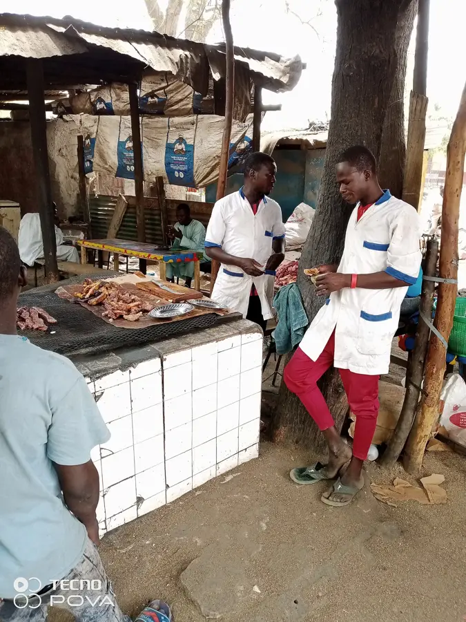
🍽 Food
A refreshing, sweet, and slightly tart drink first-rate for the hot climate.
A hearty staple found in most local canteens around lunchtime.
Often eaten for breakfast, check the small food stalls early in the day.
🛍 Shopping · 🧘 Quiet spots
The economic heart of the town, great for observing the local trade of groundnuts and cotton.
Functional and beautiful, often sold directly by the artisans in the market.
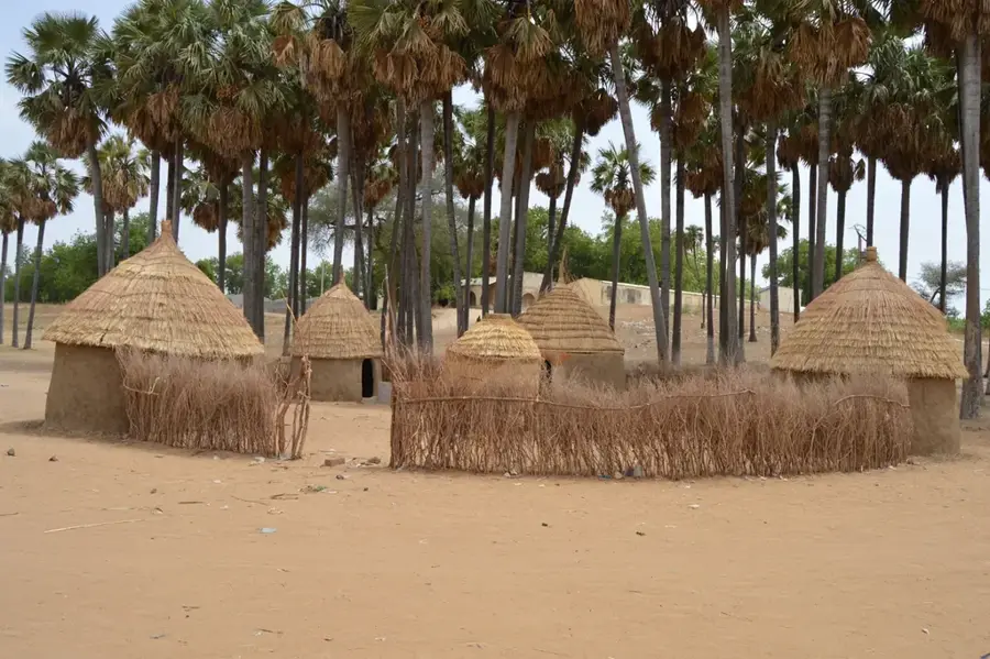
Take a short trip out to see the traditional huts and peaceful rural life.
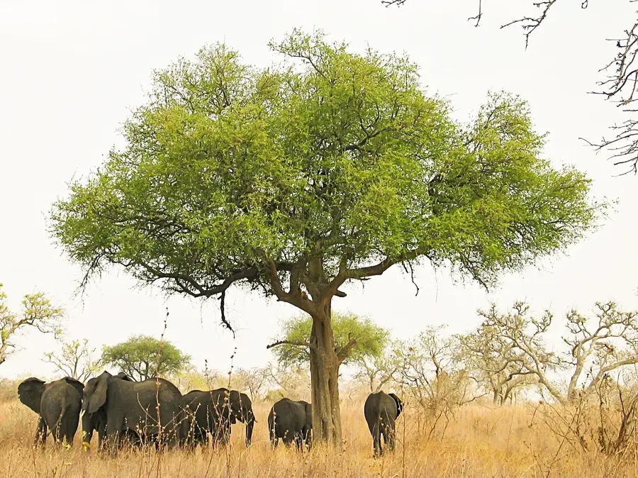
Find a spot under one of the massive ancient trees on the town's edge to relax.
Water temperature…
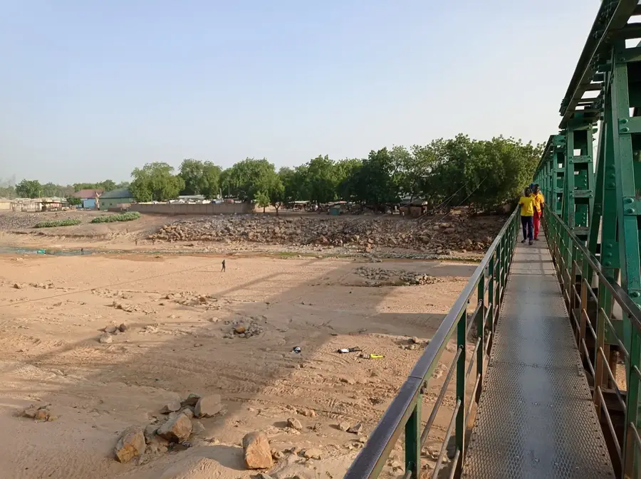
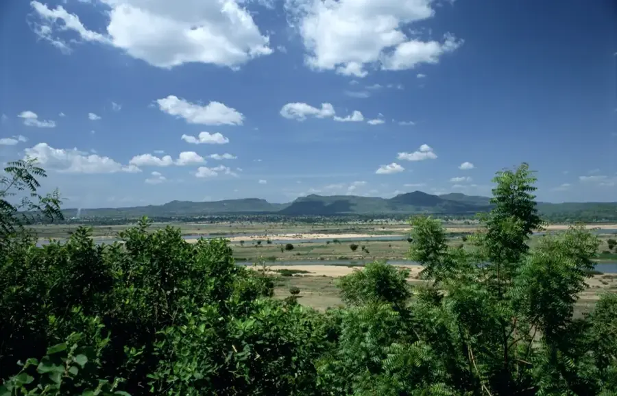
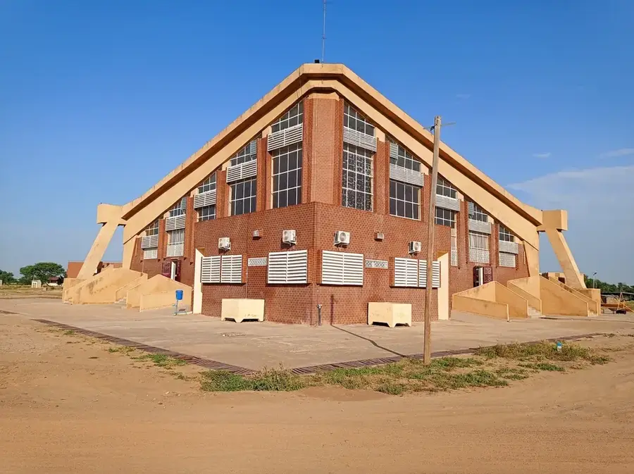
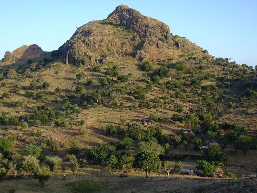
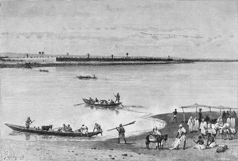
Kaélé is the capital of Mayo-Kani Department in the Far North Region and lies at about 400 metres elevation in the southern Sahelian transition zone, around 100 kilometres south of Maroua. The roughly 60 000 inhabitants are mostly Toupouri, Guidar and Fulbe, with a large Mundang diaspora from neighbouring Chad. The economy rests on cotton farming (Sodecoton), sorghum, millet, groundnuts, beans and a thriving livestock market. The town has a significant lamidate tradition, several Quranic schools, a growing hospital and a branch of the University of Maroua. Highlights include the central market with traditional leather goods, the mud-brick mosque, the rock formations of Lara and the nearby Mayo-Kani waterfalls. The semi-arid climate with a short rainy season from June to October shapes the rhythm of life across the region.
- Location: Cameroon
- Nearby: Guider (55 km)
- Population: ~32.853 (2023)
Best time to visit & climate
The most pleasant time to visit is Jan, Nov, Dec.
| Jan | Feb | Mar | Apr | May | Jun | Jul | Aug | Sep | Oct | Nov | Dec | |
|---|---|---|---|---|---|---|---|---|---|---|---|---|
| Avg °C | 26 | 29 | 32 | 33 | 31 | 29 | 26 | 25 | 26 | 27 | 27 | 26 |
| Rain mm | 0 | 0 | 1 | 26 | 78 | 127 | 181 | 232 | 152 | 48 | 2 | 0 |
Geography
Facts
- Administrative capital of the Mayo-Kani division.
- Key agricultural hub for cotton and grain production.
- Significant center for regional trade in the Far North.
- Characterized by its role in promoting local agrarian development.
- Vibrant commercial hub serving northern rural communities.
- Vital contributor to the regional food supply chain.
Explore nearby
Notable places around
Route planner — Car & Motorhome
Where do you start? We build the route here, with stops and country notes along the way.
© OpenStreetMap contributors · OpenRouteService
Sights in the town Kaélé (1)
Frequently asked questions
What is Kaélé?
When to travel?
How is the environment?
What is there to see there?
Is it safe?
Kaélé: where is it located?
Kaélé: when is the best time to visit?
Kaélé: why is it worth visiting?

Nearby cities
History & landmarks
Nature

More places