Plizio Visual Lab
Rutana
ℹ️Practical info — Rutana
▾
🌤 Weather — 5 days
📍 Nearby
Sights nearby
💡 Tips
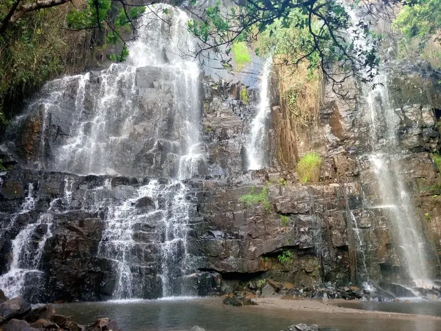
- This town is the best base for visiting the magnificent Karera Waterfalls.
- The dirt roads to the waterfalls may require a 4x4 vehicle during the rainy season.
- Market days are the best time to find fresh, cheap agricultural produce.
- Dress conservatively, as this is a traditional farming region.
- Bring enough cash with you; ATMs are scarce and may not accept foreign cards.
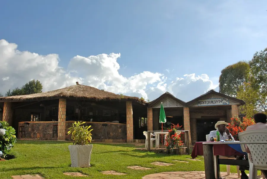
🍽 Food
The ultimate hearty local meal, served in almost every small diner in town.
Find the best grilled meat skewers near the main bus and taxi stands in the evening.
Enjoy a hot cup of locally grown tea, usually served very sweet in local cafes.
🛍 Shopping · 🧘 Quiet spots
Buy them sweet and directly from farmers at the central market.
Look for local artisans selling traditional colorful hand-woven baskets.
A spectacular and peaceful natural site consisting of multiple cascades just outside town.
Take a short walk up the dirt paths behind the main town for quiet countryside views.
Water temperature…
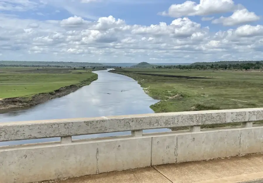
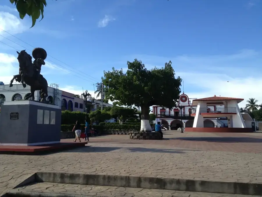
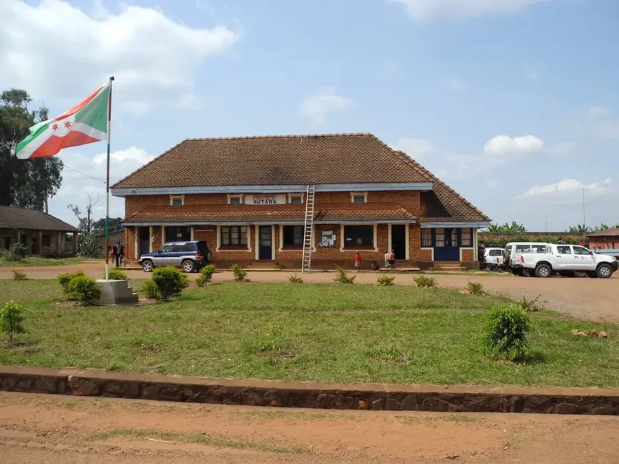
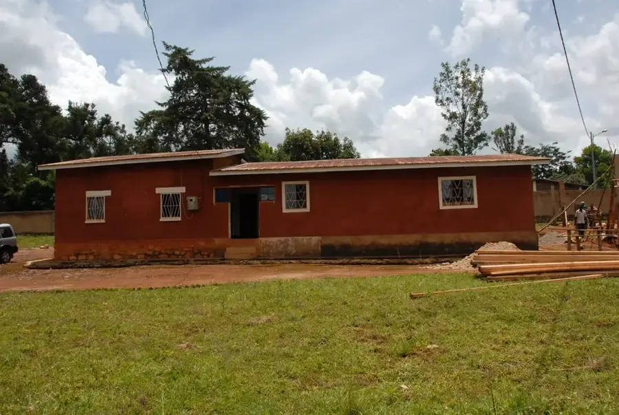
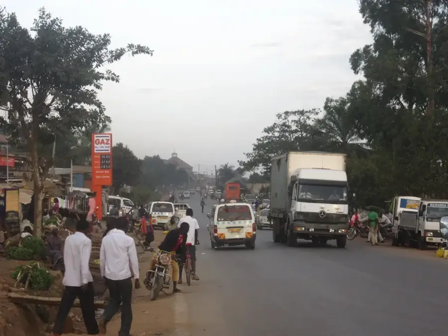
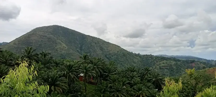
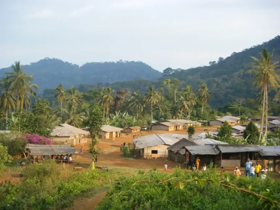
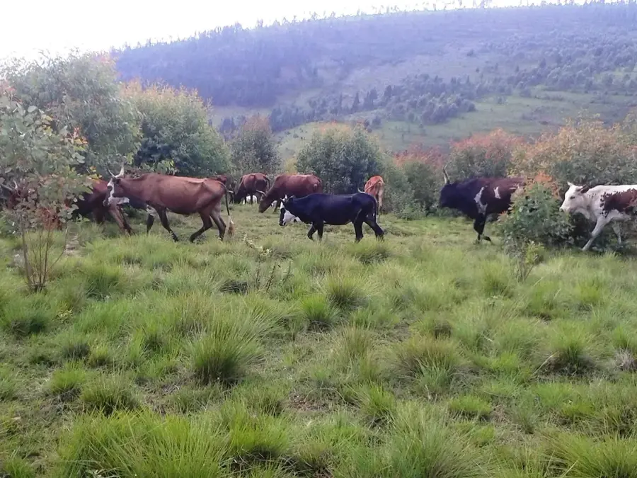
Rutana is located in southeastern Burundi and serves as the administrative capital of the province of the same name. The town is situated at the foot of the mountain range that separates the central highlands from the lower-lying Kumoso Basin, at an elevation of approximately 1,700 meters. A prominent geographical feature of the region is the Karera Waterfalls, which, with their tiered cascades and surrounding dense vegetation, represent a significant destination for local tourism. The economy of Rutana is closely linked to agriculture, with sugarcane cultivation playing a central role through the nearby SOSUMO (Société Sucrière du Mosso) factory. In addition to sugar, the fertile surroundings produce coffee, peanuts, and cassava. Historically, Rutana served as an important post for monitoring the eastern borderlands and has developed into a major regional commercial center since independence.
- Location: Burundi
- Nearby: Rutovu (16 km)
- Population: ~9.075 (2026)
Best time to visit & climate
The most pleasant time to visit is Jun–Aug.
| Jan | Feb | Mar | Apr | May | Jun | Jul | Aug | Sep | Oct | Nov | Dec | |
|---|---|---|---|---|---|---|---|---|---|---|---|---|
| Avg °C | 21 | 21 | 21 | 21 | 20 | 19 | 19 | 21 | 23 | 22 | 21 | 21 |
| Rain mm | 178 | 137 | 169 | 150 | 59 | 9 | 6 | 13 | 26 | 76 | 209 | 177 |
Geography
Facts
- Rutana is situated at an elevation of about 1,700 meters above sea level.
- The Karera Waterfalls are located approximately 30 km from the town.
- The SOSUMO sugar factory is one of the largest employers in the region.
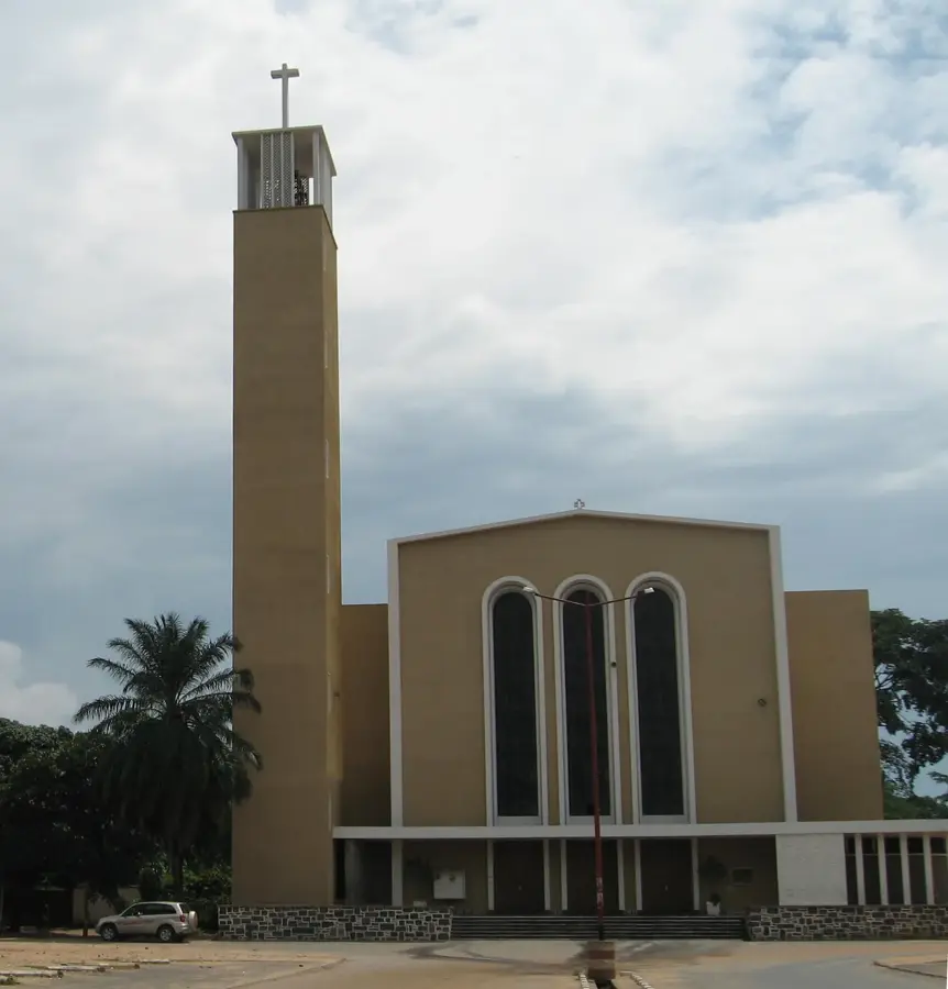
- The town is the seat of the Roman Catholic Diocese of Rutana.
- Nearby is Mount Kikizi, considered one of the sources of the Nile.
- The region directly borders Tanzania to the east.
Explore nearby
Notable places around
Route planner — Car & Motorhome
Where do you start? We build the route here, with stops and country notes along the way.
© OpenStreetMap contributors · OpenRouteService
Sights in the town Rutana (1)
Frequently asked questions
What sights are there in Rutana?
Is Rutana difficult to reach?
What else can you see besides the waterfalls?
How much time should you plan for?
Are there entry fees for the waterfalls?
Rutana: where is it located?
Rutana: when is the best time to visit?
Rutana: why is it worth visiting?

Nearby cities

History & landmarks

Nature

More places