Plizio Visual Lab
Mount Birira

Weather…
Water temperature…
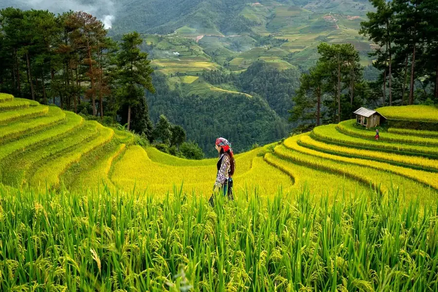
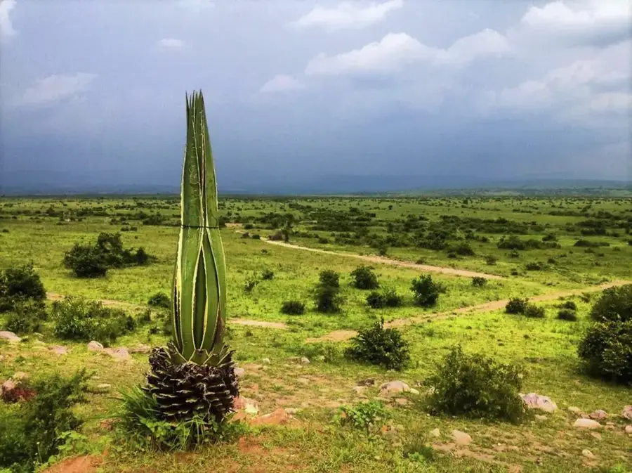
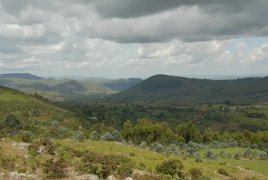
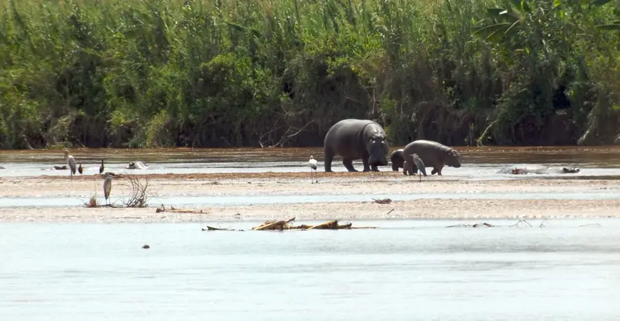
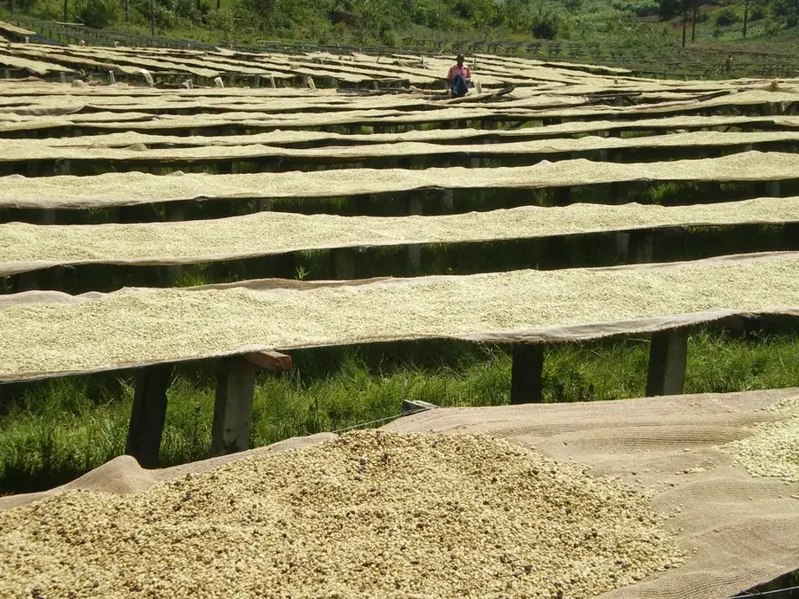
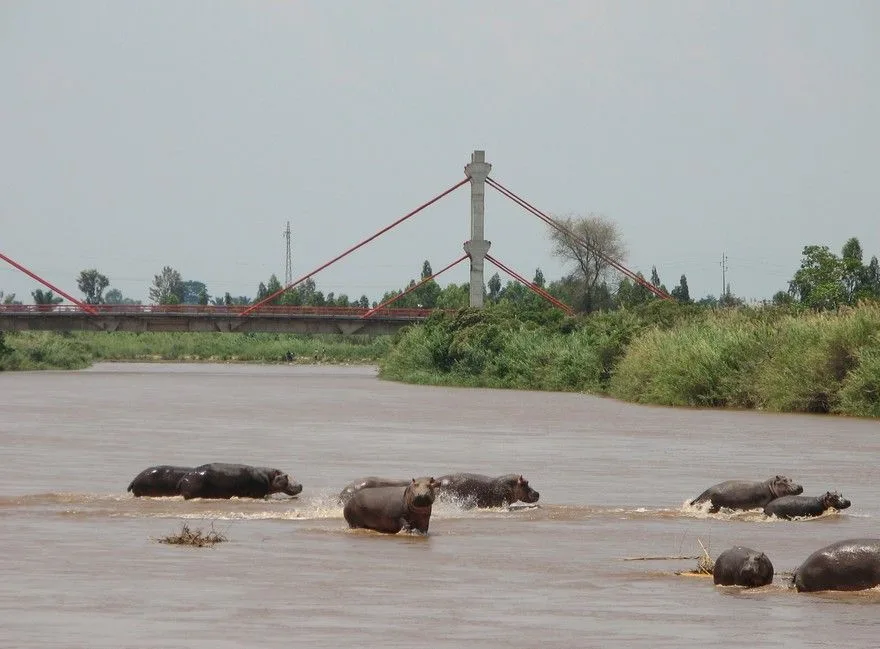
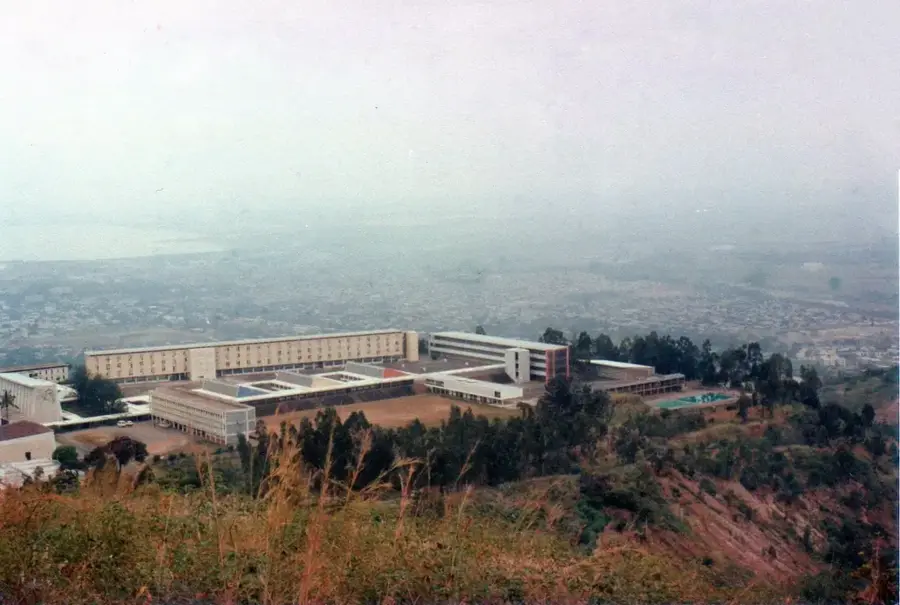
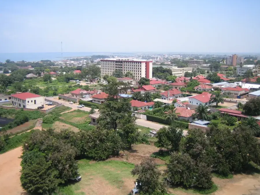
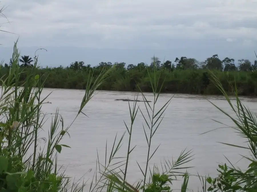
Mount Birira is a significant mountain formation in the eastern highlands of Burundi, characterized by its rugged topography and ecological diversity. The massif reaches elevations often exceeding 2,300 meters and plays a crucial role in the ecological balance of the adjacent plains. Geologically, Birira is closely linked to the East African Rift system, reflected in its steep flanks and exposed rock formations. The slopes are partially covered by dense montane forests that serve as habitats for numerous bird species and small primates. During the rainy months, temporary waterfalls form on the mountain, contributing to the region's hydrological wealth and natural scenery. The local population utilizes the fertile foothills for subsistence farming of crops like bananas and maize, though soil erosion remains a constant challenge. Mount Birira is also an important site for local folklore and is often associated with traditional spiritual practices. Due to its remoteness, the region remains a sanctuary for the original flora and fauna of Central Africa.
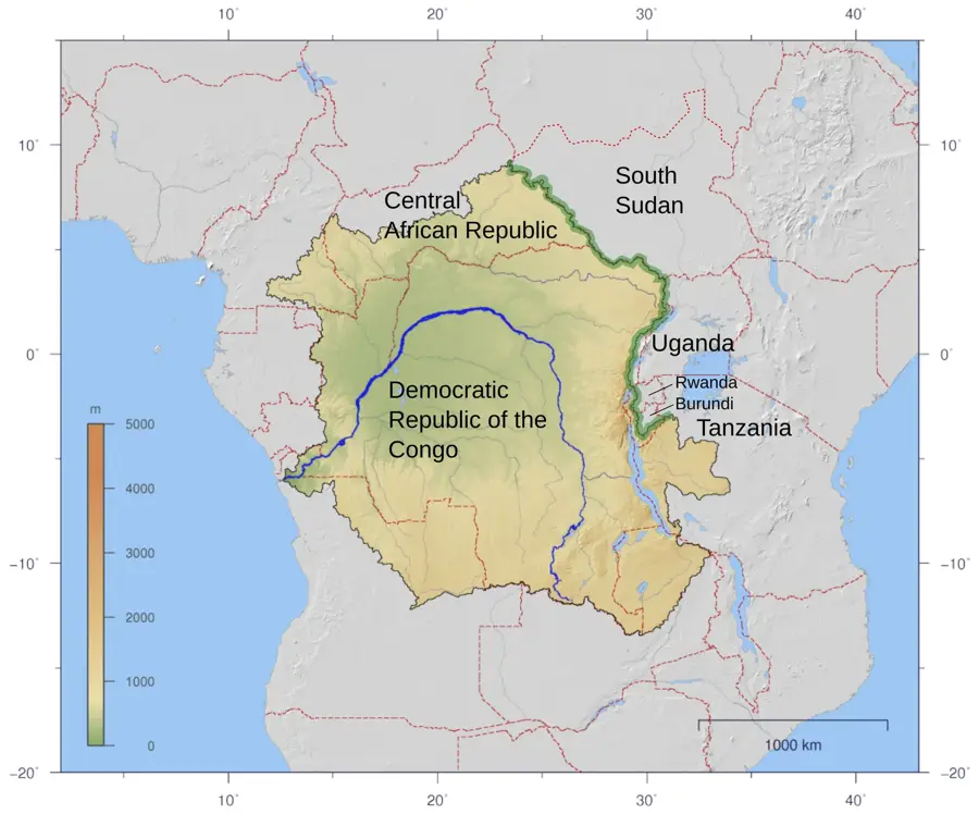
- Location: Burundi
- Nearby: Kibira National Park (14 km)
Best time to visit & climate
The most pleasant time to visit is Jun–Aug.
| Jan | Feb | Mar | Apr | May | Jun | Jul | Aug | Sep | Oct | Nov | Dec | |
|---|---|---|---|---|---|---|---|---|---|---|---|---|
| Avg °C | 21 | 21 | 21 | 20 | 20 | 19 | 20 | 21 | 22 | 21 | 21 | 21 |
| Rain mm | 158 | 132 | 184 | 175 | 83 | 34 | 19 | 49 | 95 | 157 | 284 | 175 |
📋 Practical info
Geography
Facts
- The summit is located at an elevation of over 2,300 meters.
- The massif is situated in eastern Burundi near the Tanzanian border.
- Tectonically, the mountain is part of the East African Rift shoulder.
- Seasonal waterfalls emerge on the mountain during the major rainy season.
- The region is home to rare species of montane orchids.
- Subsistence farming is practiced even at high altitudes on the slopes.
Explore nearby
Notable places around
Route planner — Car & Motorhome
Where do you start? We build the route here, with stops and country notes along the way.
© OpenStreetMap contributors · OpenRouteService
Sights nearby
Frequently asked questions
Where exactly is Birira Mountain located?
Is the area inhabited?
What is the terrain like?
Are there rare plants?
Can you go hiking there?
Mount Birira: where is it located?
Mount Birira: when is the best time to visit?
Mount Birira: why is it worth visiting?

Nearby cities
History & landmarks
Nature
More places