Plizio Visual Lab
Cerro Zapaleri
Weather…
Water temperature…
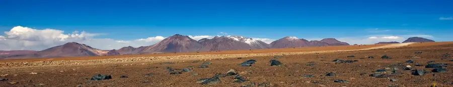
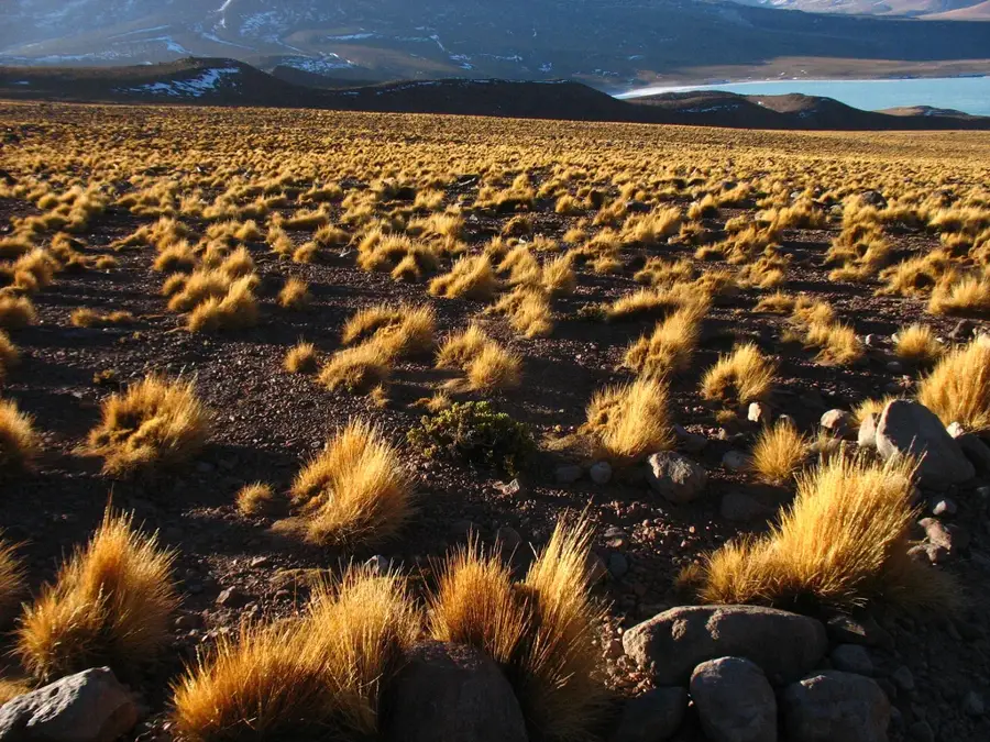
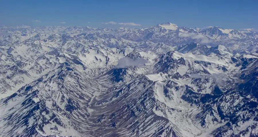
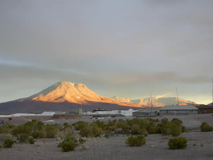
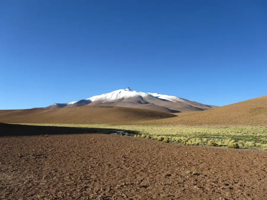
Cerro Zapaleri is a mountain standing at 5,653 meters in the Andes, possessing a unique geographical significance as the official tripoint between Bolivia, Chile, and Argentina. The mountain is situated in one of South America's most remote and inhospitable regions, the Puna de Atacama. On the Bolivian side, it is part of the Eduardo Abaroa Andean Fauna National Reserve. Geologically, Zapaleri is part of a massive ignimbrite plateau created by cataclysmic volcanic eruptions during the Tertiary period. The landscape surrounding the summit is characterized by extreme aridity, high UV radiation, and vast nearby salt flats. Historically, the mountain served as a vital landmark for travelers and was formally established as a boundary marker in border treaties during the late 19th and early 20th centuries. Despite its isolation, it is a point of great interest for geographers and high-altitude adventurers, as it serves as a common junction for three distinct national protected areas.
Best time to visit & climate
The most pleasant time to visit is Jan, Nov, Dec.
| Jan | Feb | Mar | Apr | May | Jun | Jul | Aug | Sep | Oct | Nov | Dec | |
|---|---|---|---|---|---|---|---|---|---|---|---|---|
| Avg °C | 5 | 5 | 4 | 2 | -1 | -2 | -3 | -1 | 0 | 2 | 4 | 5 |
| Rain mm | 38 | 34 | 24 | 7 | 2 | 1 | 1 | 1 | 1 | 7 | 10 | 30 |
📋 Practical info
Geography
Facts
- Elevation: 5,653 meters above sea level
- Official tripoint of Bolivia, Chile, and Argentina
- Located within the Eduardo Abaroa National Reserve
- Mainly composed of Tertiary-aged ignimbrite rocks
- Established as a border marker in the 1889 treaty
- Joins three national parks from three different nations
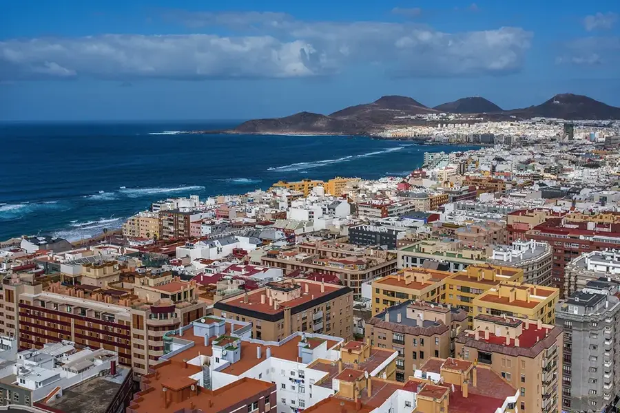
Explore nearby
Notable places around
Route planner — Car & Motorhome
Where do you start? We build the route here, with stops and country notes along the way.
© OpenStreetMap contributors · OpenRouteService
Sights nearby
Frequently asked questions
Why is this mountain famous?
How to reach the summit?
Is the climb technical?
Is there parking?
What is the main danger?
Cerro Zapaleri: where is it located?
Cerro Zapaleri: when is the best time to visit?
Cerro Zapaleri: why is it worth visiting?

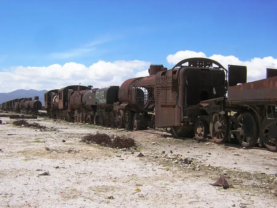
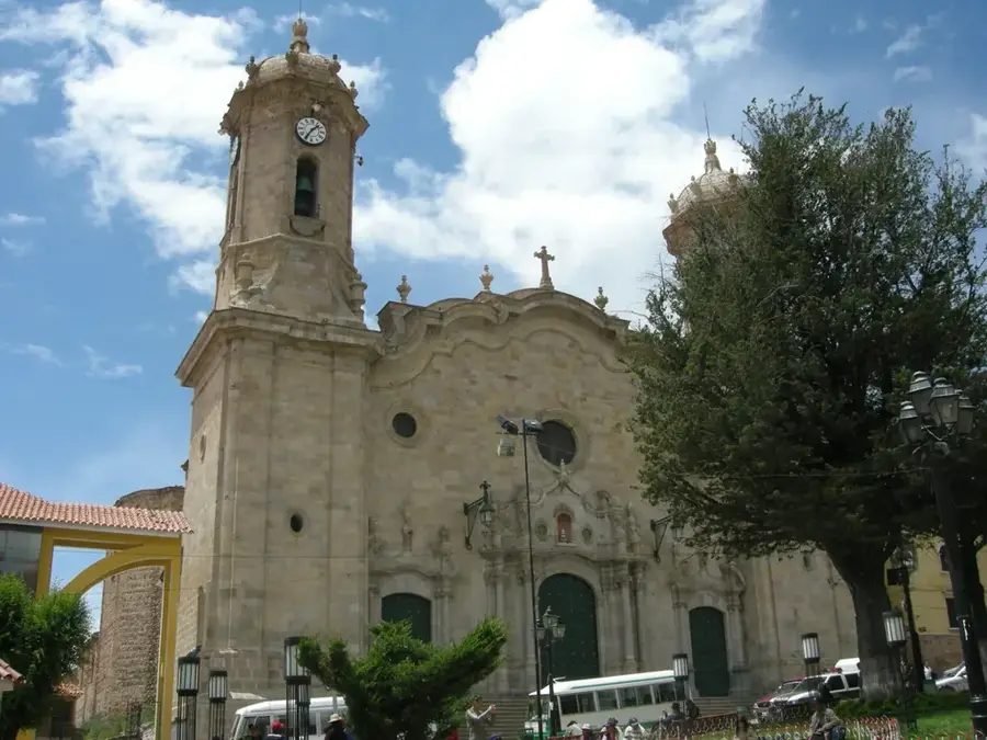
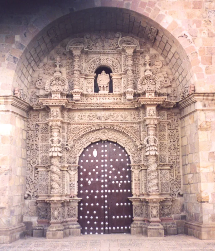
History & landmarks
Nature

More places