Plizio Visual Lab
Cordillera de Lípez
Weather…
Water temperature…
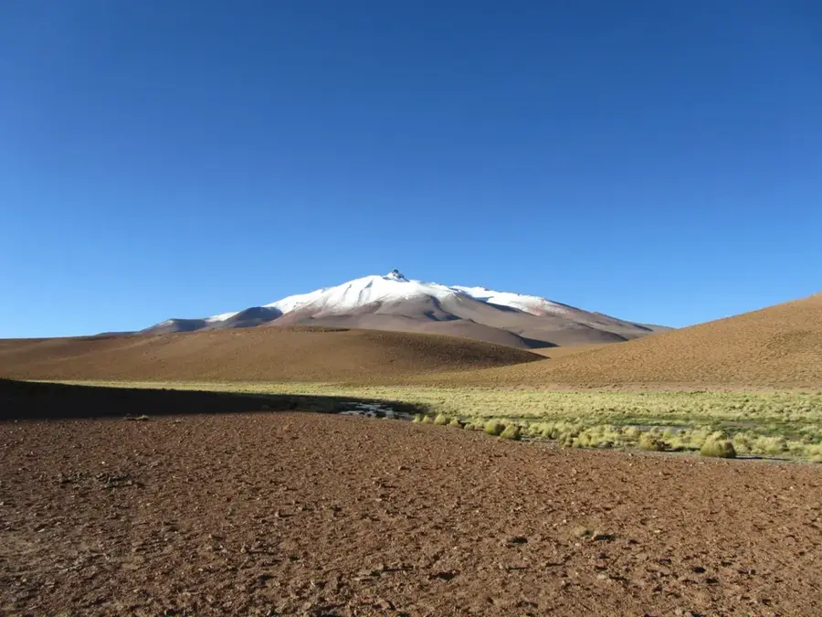
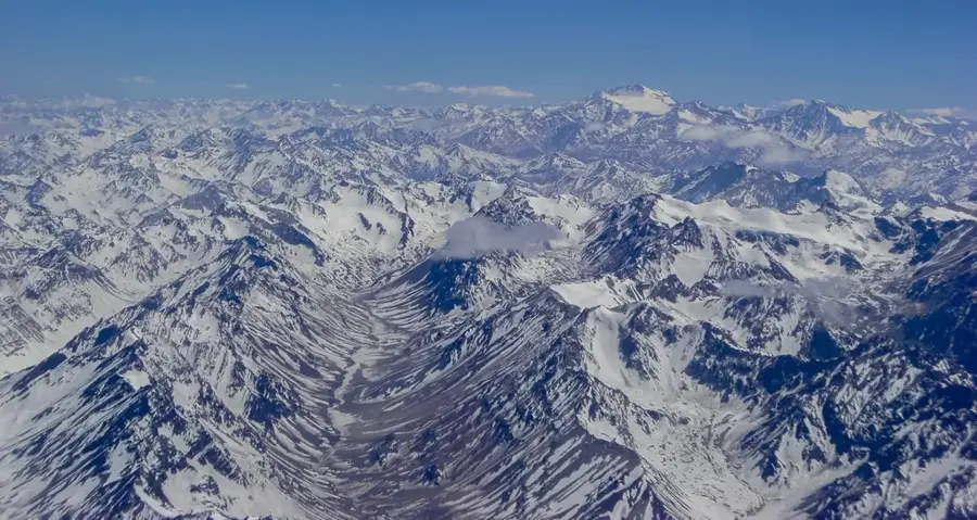
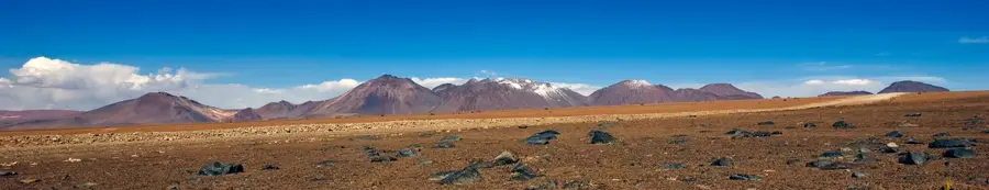
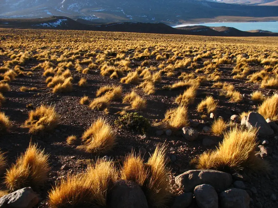
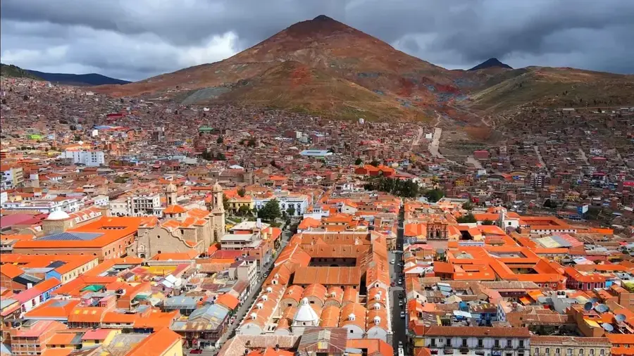
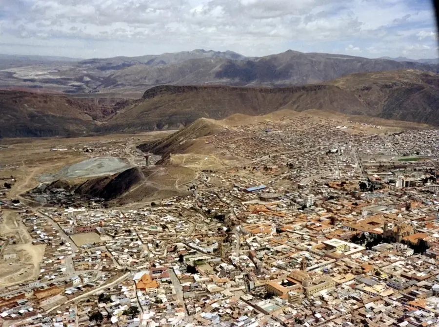
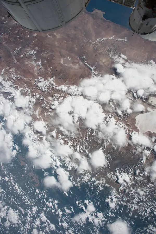
The Cordillera de Lípez is an impressive mountain range in the far southwest of Bolivia, located in the Potosí Department near the borders with Argentina and Chile. This high-altitude region is part of the Western Cordillera of the Andes and is characterized by extreme aridity and a volcanic landscape. Peaks reach heights of over 5,000 and 6,000 meters, including Uturuncu, which is known for its geothermal activity. Historically, the region was sparsely populated due to its harsh conditions but played a role in regional trade and mining. The landscape is defined by high deserts, colorful lagoons such as Laguna Colorada, and bizarre rock formations. Ecologically, despite the extreme cold and dryness, the area is home to specialized species like flamingos, vicuñas, and the Andean condor. Scientists study volcanic processes and the effects of high-altitude UV radiation here. Today, the Cordillera de Lípez is a major destination for adventure tourism, offering some of the most pristine and wild landscapes in South America.
- Location: Bolivia
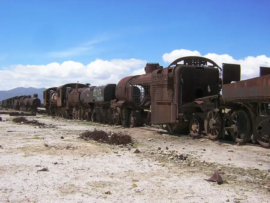
- Top sights: Blanca Mine Camp (abandoned) · ex Estancia Yuraj Khakha · Antigua Estancia San Antonio de Lípez
Best time to visit & climate
The most pleasant time to visit is Mar, Nov, Dec.
| Jan | Feb | Mar | Apr | May | Jun | Jul | Aug | Sep | Oct | Nov | Dec | |
|---|---|---|---|---|---|---|---|---|---|---|---|---|
| Avg °C | 8 | 7 | 7 | 4 | 1 | 0 | -1 | 0 | 2 | 5 | 7 | 8 |
| Rain mm | 66 | 54 | 37 | 7 | 1 | 0 | 1 | 1 | 3 | 11 | 16 | 47 |
📋 Practical info
Geography
Facts
- Uturuncu is the highest peak in the Cordillera de Lípez at 6,008 m.
- The region is home to Laguna Colorada, famous for its red algae coloration.
- It is part of the Eduardo Avaroa National Andean Fauna Reserve (REA).
- The average elevation of the Altiplano plateau here is around 4,200 m.
- Volcanic gases and fumaroles on Uturuncu indicate an active magma system.
- Temperatures can drop below -25°C at night during the winter.
Explore nearby
Notable places around
Route planner — Car & Motorhome
Where do you start? We build the route here, with stops and country notes along the way.
© OpenStreetMap contributors · OpenRouteService
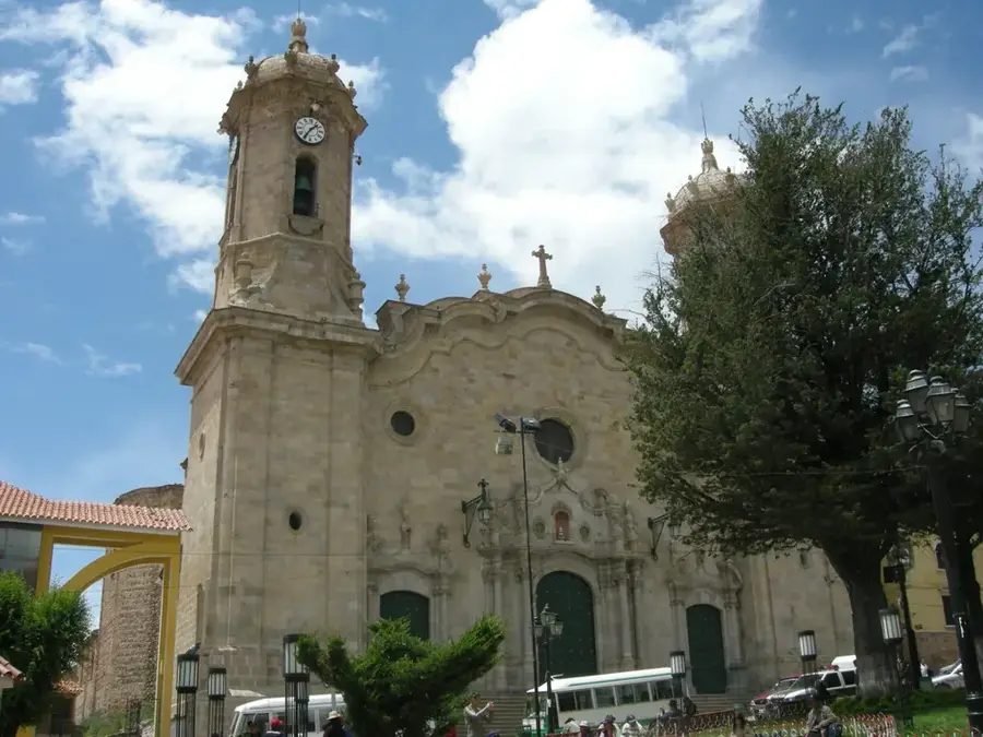
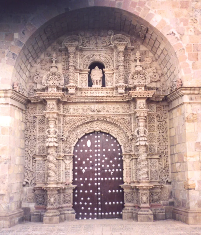
Sights in the town Cordillera de Lípez (4)
Sights nearby
Frequently asked questions
What are the highlights of this cordillera?
How cold does it get there?
How to travel through Lípez?
Are there hotels there?
What should I pack?
Cordillera de Lípez: where is it located?
Cordillera de Lípez: what is there to see?
Cordillera de Lípez: when is the best time to visit?
Cordillera de Lípez: why is it worth visiting?

History & landmarks
Nature

More places