Plizio Visual Lab
Kula Kangri
Weather…
Water temperature…
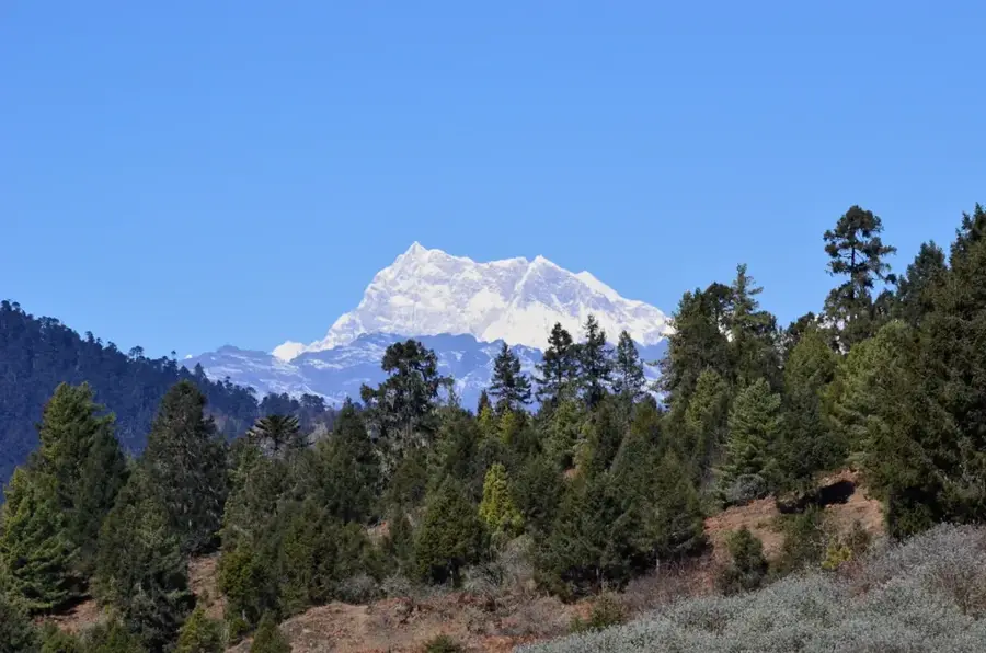
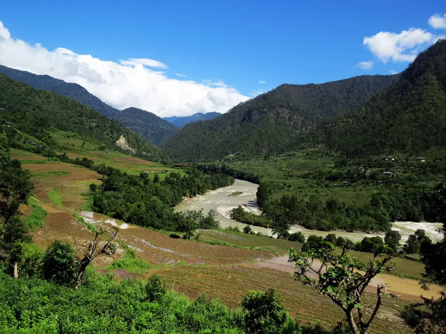
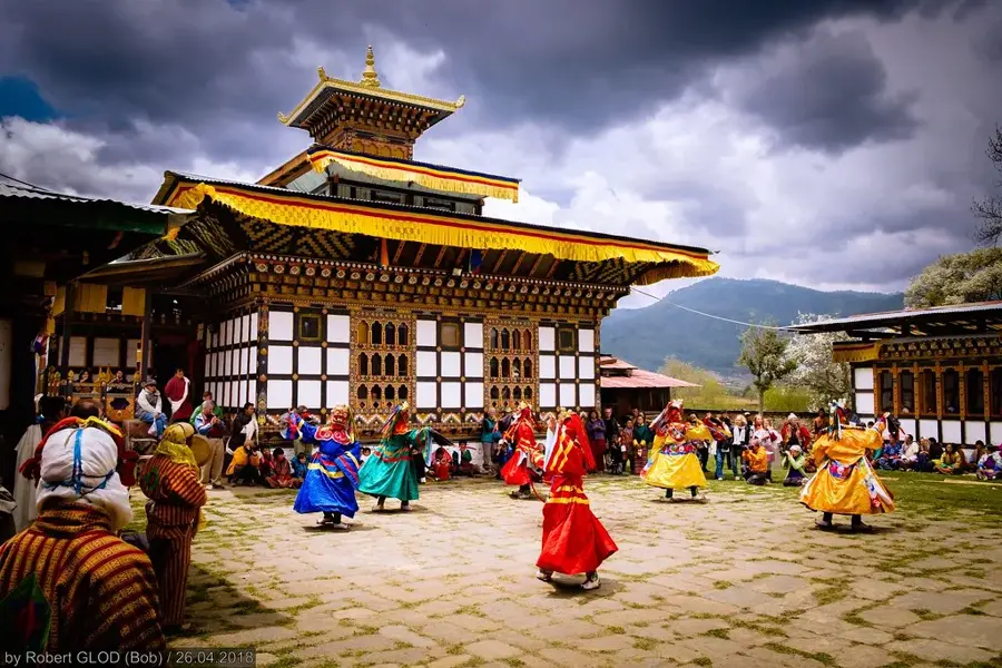
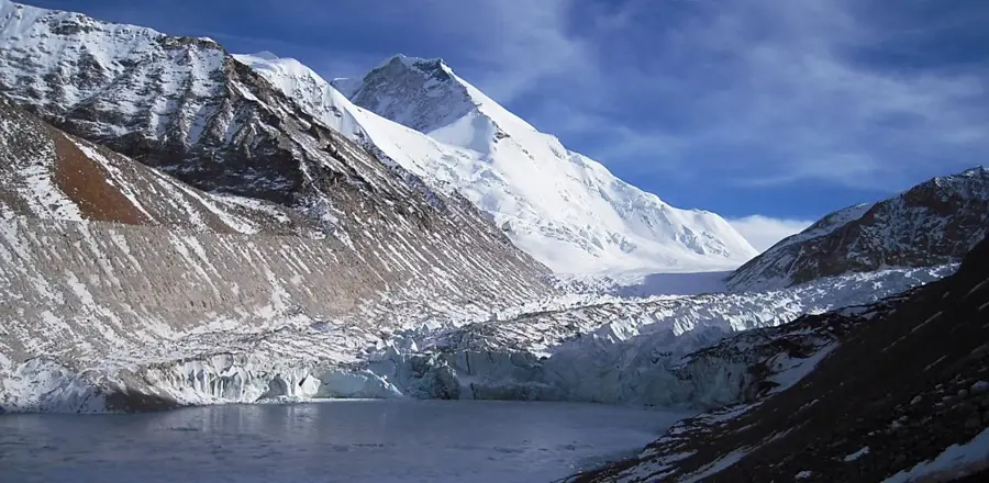
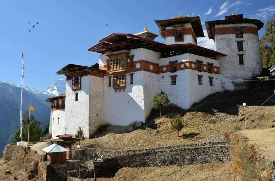
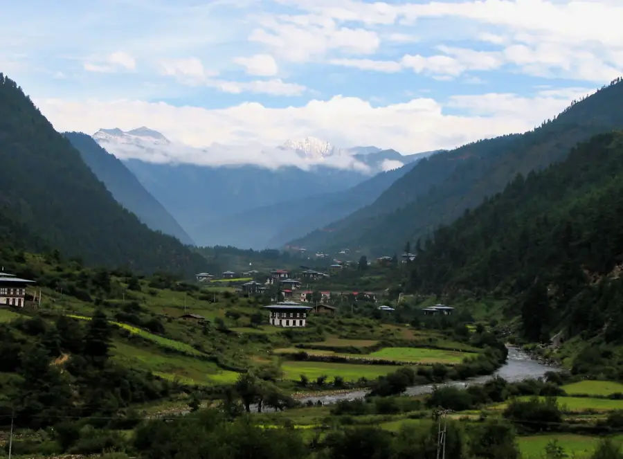
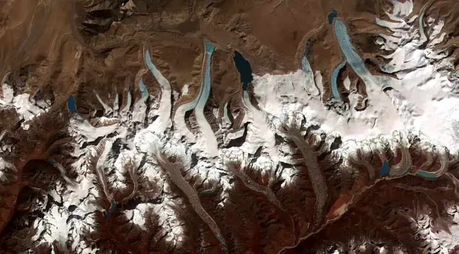
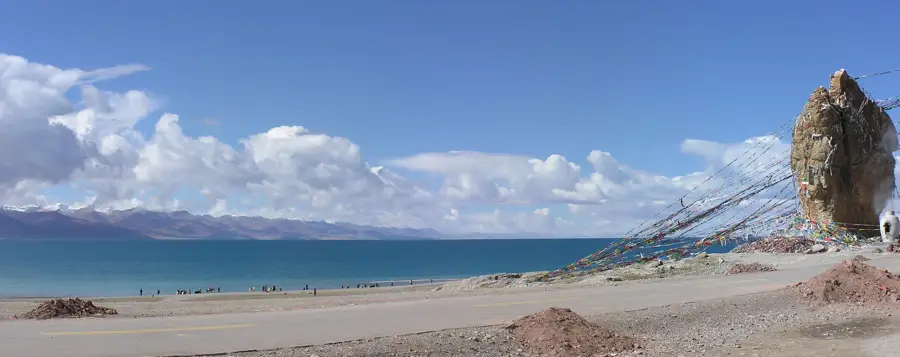
Kula Kangri is a formidable peak in the Himalayas, situated on the border between Bhutan and the Tibet Autonomous Region of China. Rising to an elevation of approximately 7,538 meters, it ranks among the highest mountains in the world, though its exact territorial status is frequently debated in geographical circles. The massif consists of six distinct peaks surrounded by extensive glaciers that provide a critical water source for the surrounding river systems. Its northern face drops steeply into Tibet, while the southern slopes descend into the pristine and biologically diverse valleys of Bhutan. Local cultures revere the mountain as a sacred site, with its presence deeply woven into the spiritual traditions and folklore of the Himalayan people. Due to Bhutan's strict environmental regulations and remote location, the area remains largely unaffected by mass tourism. Mountaineering expeditions are infrequent and strictly controlled, ensuring the preservation of the mountain's fragile alpine ecosystem.
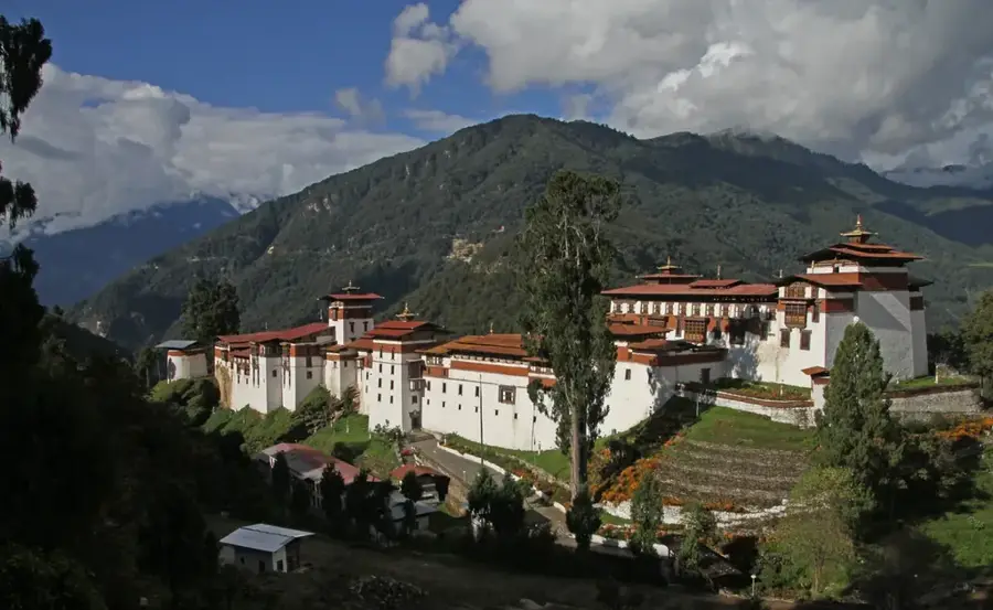
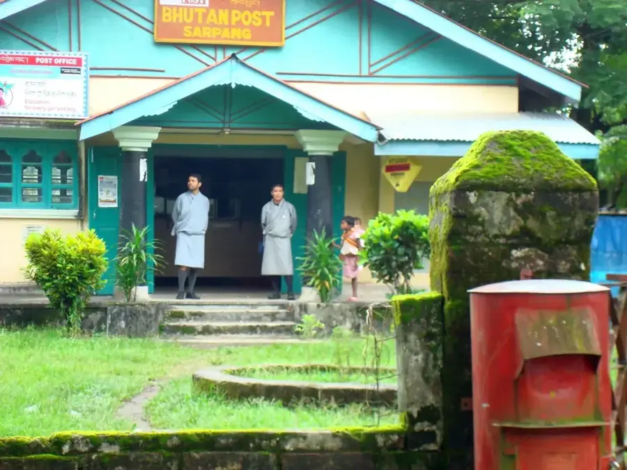
- Location: Bhutan
- Top sights: Khula Kangri I · Khula Kangri II · Karejiang I
- Nearby: Trongsa (13 km)
Best time to visit & climate
The most pleasant time to visit is Jun, Aug, Sep.
| Jan | Feb | Mar | Apr | May | Jun | Jul | Aug | Sep | Oct | Nov | Dec | |
|---|---|---|---|---|---|---|---|---|---|---|---|---|
| Avg °C | -11 | -10 | -7 | -3 | 1 | 5 | 6 | 5 | 4 | -1 | -5 | -9 |
| Rain mm | 3 | 7 | 17 | 37 | 62 | 96 | 159 | 127 | 69 | 27 | 3 | 2 |
📋 Practical info
Geography
Facts
- The official elevation is recorded at 7,538 meters above sea level.
- The first successful ascent was made by a Japanese team in 1986.
- The entire massif contains six peaks that exceed 7,000 meters in height.
- Often cited as the highest mountain in Bhutan in older geographical records.
- Located within the remote and rugged Gangkhar Puensum region.
- Feeds the Kuru Chhu river, a significant tributary of the Brahmaputra system.
Explore nearby
Notable places around
Route planner — Car & Motorhome
Where do you start? We build the route here, with stops and country notes along the way.
© OpenStreetMap contributors · OpenRouteService
Sights in the town Kula Kangri (3)
Sights nearby
Frequently asked questions
Does Kula Kangri belong to Bhutan or China?
How high is the summit?
Is the mountain visible from Bhutan?
When is the visibility best?
Are there trekking tours to the region?
Kula Kangri: where is it located?
Kula Kangri: what is there to see?
Kula Kangri: when is the best time to visit?
Kula Kangri: why is it worth visiting?

Nearby cities
History & landmarks

Nature
More places