Plizio Visual Lab
Teri Kang

Weather…
Water temperature…
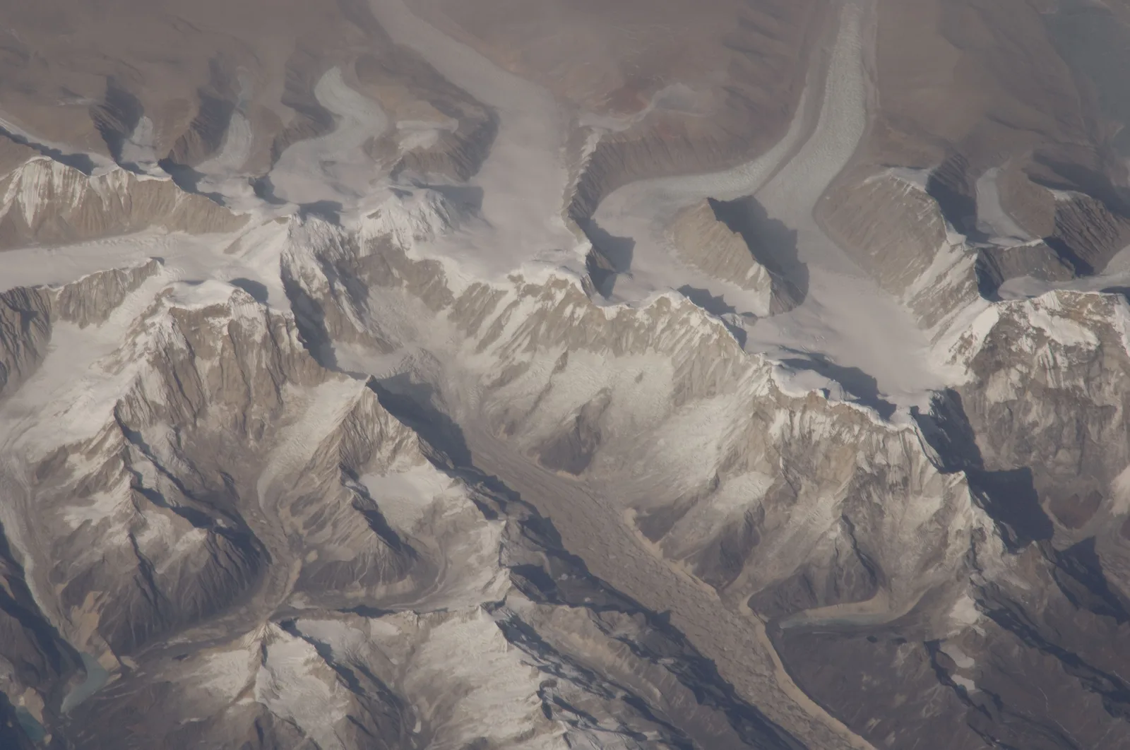
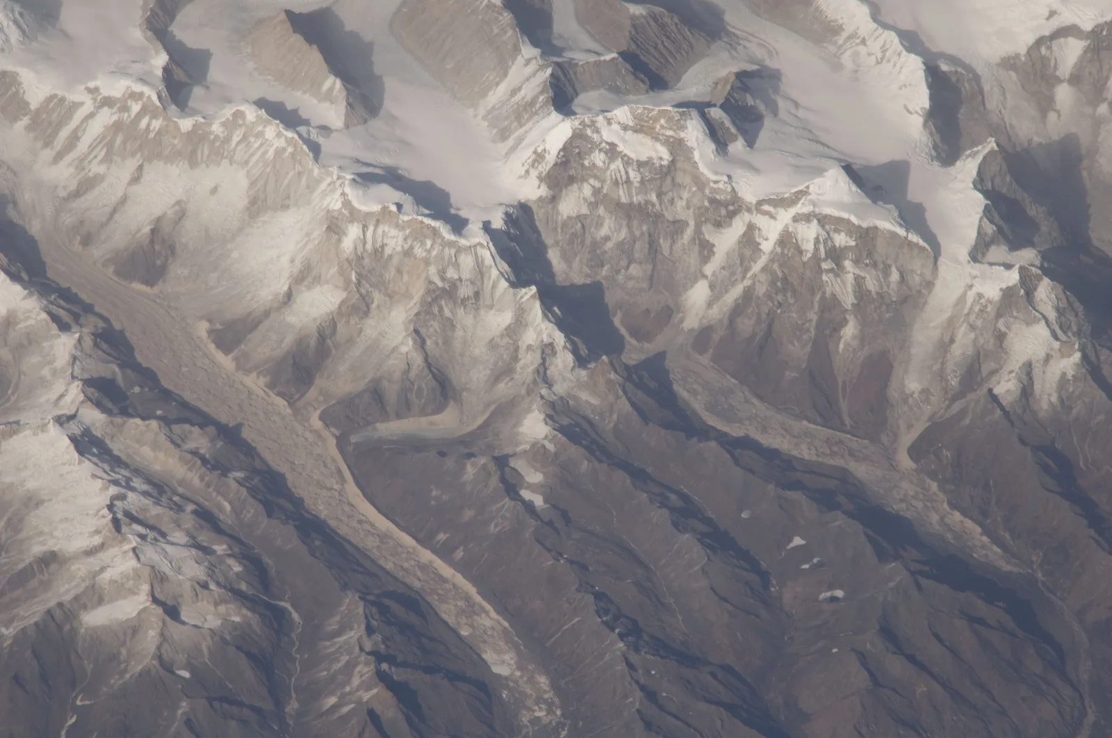
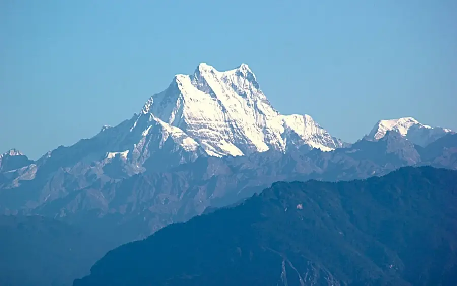
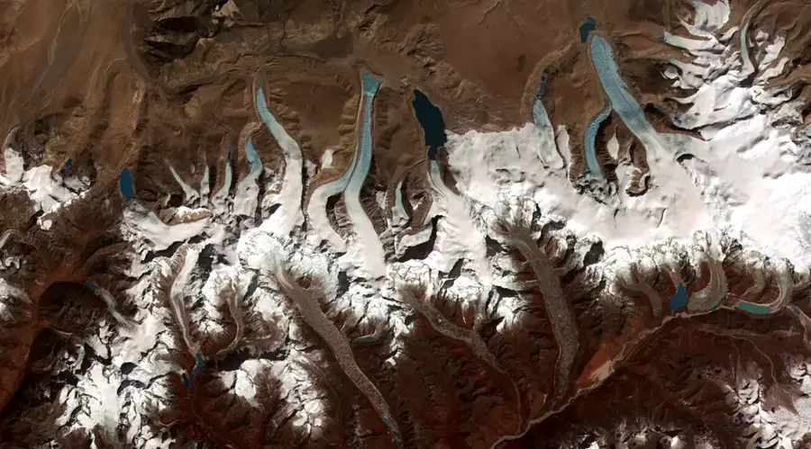
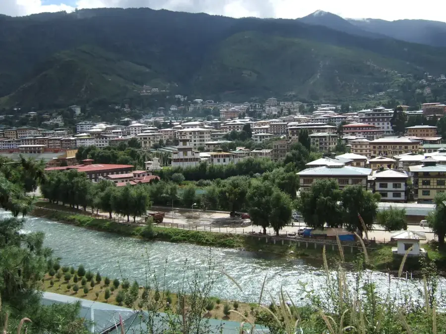
Teri Kang is a peak in the Lunana region of northern Bhutan, reaching an elevation of 7,124 meters. It is part of the Jigme Dorji National Park and is located in close proximity to other significant seven-thousanders like Tongshanjiabu and Kangphu Kang. The mountain is situated entirely within Bhutanese territory. Teri Kang is a technically challenging peak, surrounded by extensive glaciers and steep ice walls. Its remote location, deep in the heart of the Himalayas, makes expeditions there a logistical challenge. The region is known for its extreme weather conditions and pristine wilderness. Although there have been attempts to climb the peak, its ascent status remains controversial or unconfirmed, making it one of the coveted goals for alpinists seeking untouched challenges. The landscape around Teri Kang is characterized by moraine lakes and high passes that are part of the famous Snowman Trek.
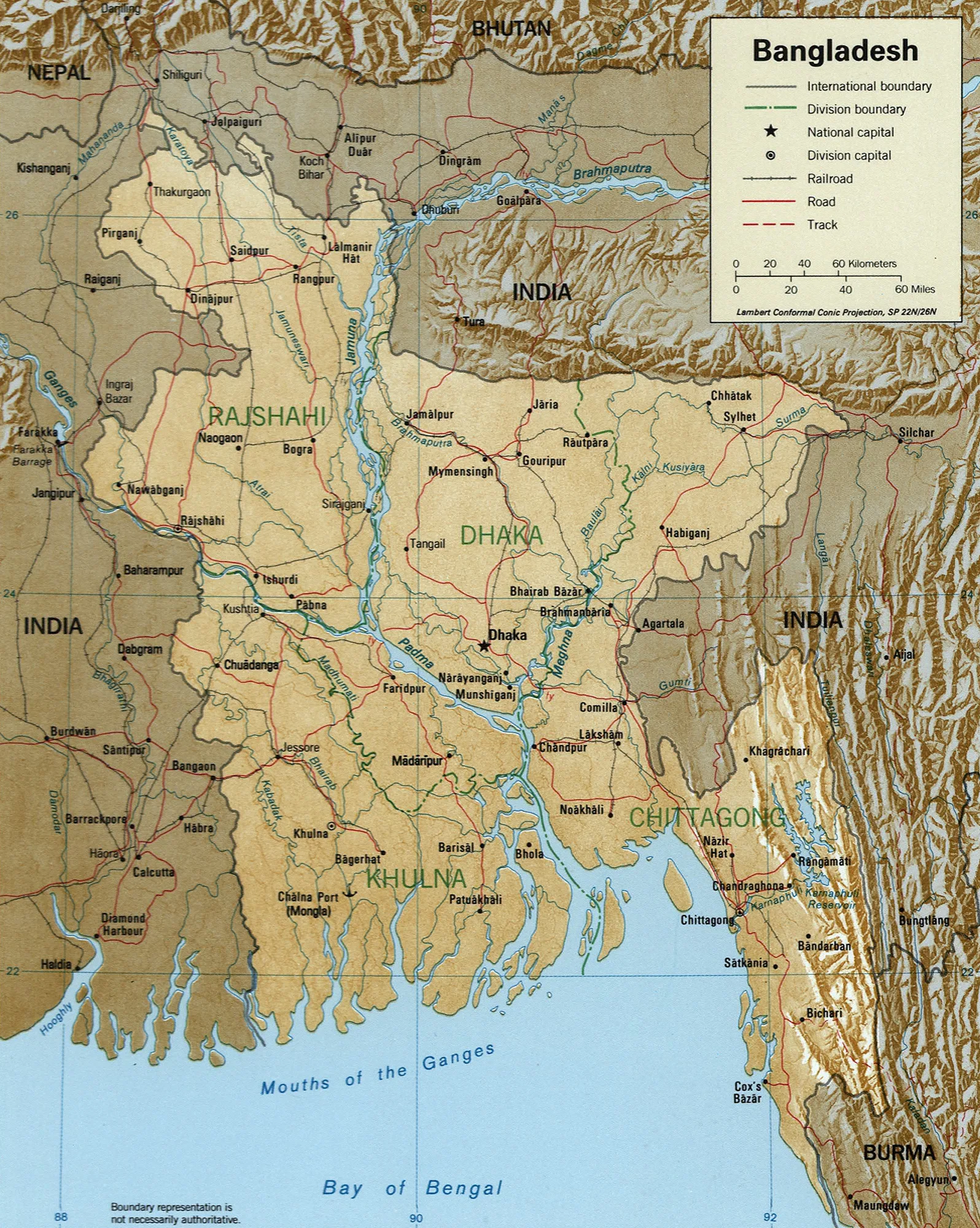
- Location: Bhutan
- Nearby: Wangdue Phodrang (9 km)
Best time to visit & climate
The most pleasant time to visit is Jun, Sep, Oct.
| Jan | Feb | Mar | Apr | May | Jun | Jul | Aug | Sep | Oct | Nov | Dec | |
|---|---|---|---|---|---|---|---|---|---|---|---|---|
| Avg °C | -10 | -8 | -6 | -2 | 2 | 6 | 7 | 6 | 5 | 0 | -4 | -7 |
| Rain mm | 3 | 8 | 20 | 36 | 63 | 91 | 168 | 140 | 72 | 27 | 2 | 2 |
📋 Practical info
Geography
Facts
- Height is 7125 meters.
- Part of Jigme Dorji National Park.
Explore nearby
Notable places around
Route planner — Car & Motorhome
Where do you start? We build the route here, with stops and country notes along the way.
© OpenStreetMap contributors · OpenRouteService
Sights nearby
Frequently asked questions
What is the significance of Teri Kang?
How high is this mountain?
Is a permit needed for the region?
Can wildlife be seen there?
Is there mobile reception there?
Teri Kang: where is it located?
Teri Kang: when is the best time to visit?
Teri Kang: why is it worth visiting?

Nearby cities
History & landmarks
Nature
More places