Plizio Visual Lab
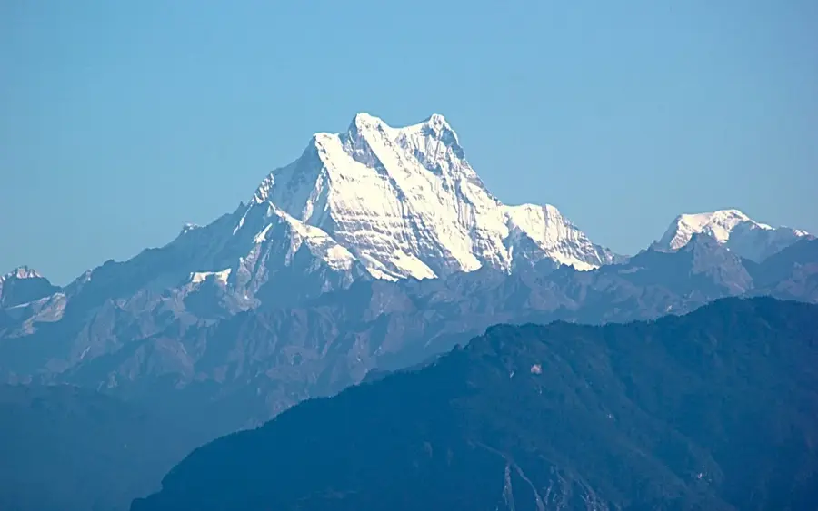
Zongphu Kang

Weather…
Water temperature…
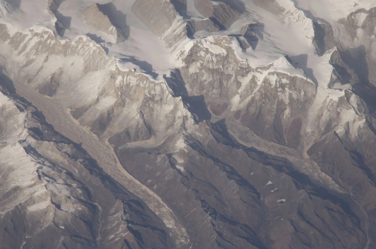
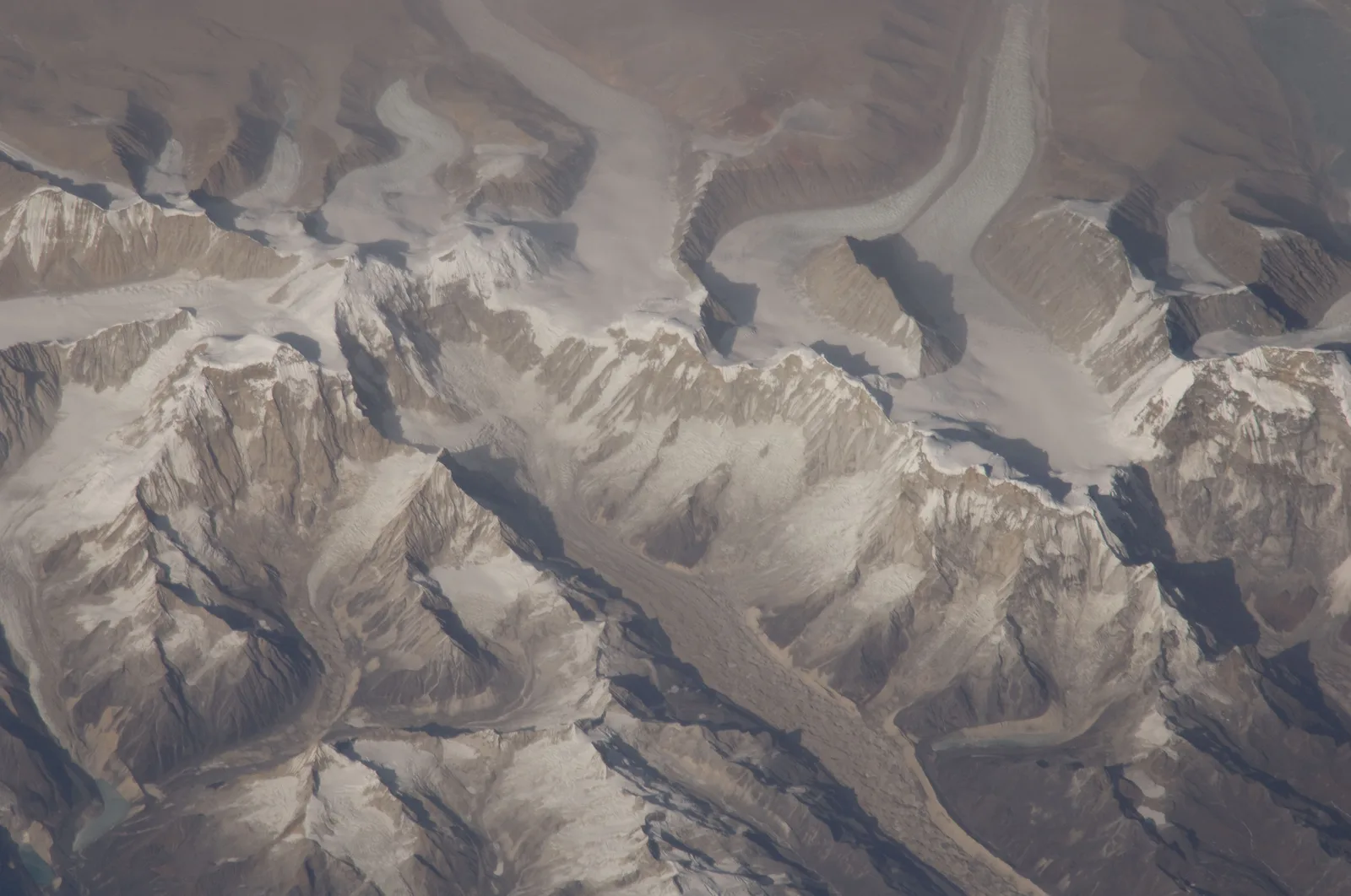
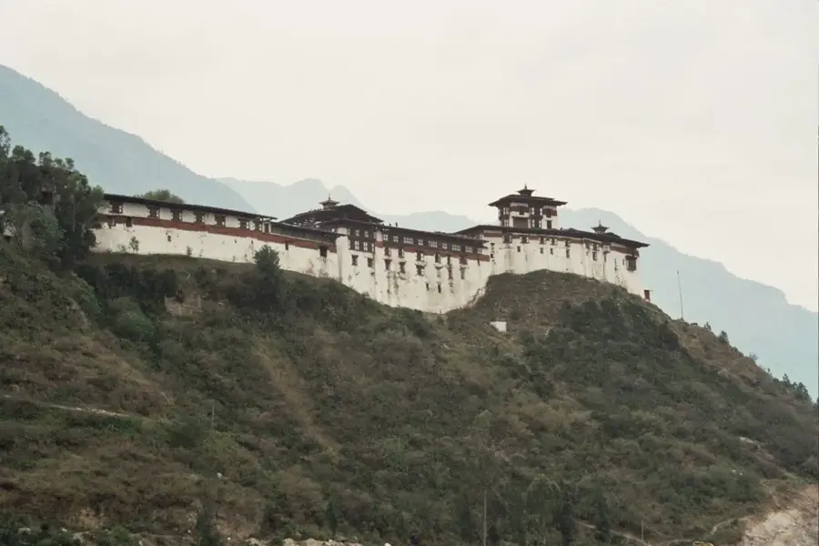
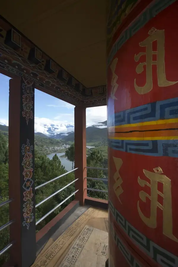
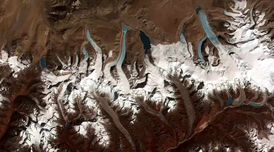
Zongphu Kang, also known as Zongsong Kang, is a 7,044-meter mountain in the Lunana region of northern Bhutan. It is known for its distinctive, table-top summit shape, which has earned it the nickname 'Table Mountain'. The mountain is located entirely within Bhutan and is part of the Jigme Dorji National Park. Zongphu Kang is one of the highest unclimbed peaks in the world, although it is not among the most prominent. Its remoteness, combined with technical difficulties and the harsh conditions of the region, has so far prevented successful ascents. The area around Zongphu Kang is an extreme high-altitude wilderness with vast glaciers, deep valleys, and numerous unnamed peaks. The nearest settlements are several strenuous days' trek away. The spiritual significance of the mountain to the local population and Bhutan's strict policy of protecting its peaks also contribute to it remaining pristine.
- Location: Bhutan
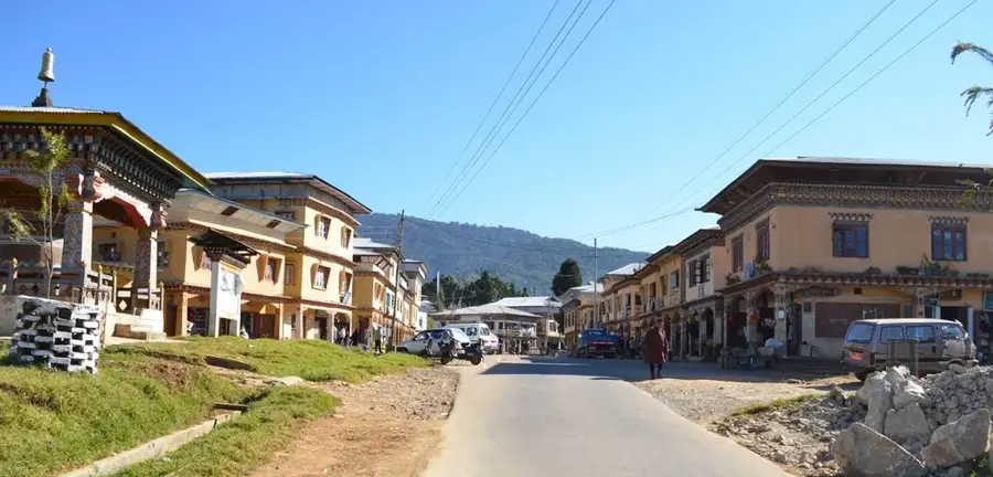
- Nearby: Phobjikha Valley (7 km)
Best time to visit & climate
The most pleasant time to visit is Jun, Sep, Oct.
| Jan | Feb | Mar | Apr | May | Jun | Jul | Aug | Sep | Oct | Nov | Dec | |
|---|---|---|---|---|---|---|---|---|---|---|---|---|
| Avg °C | -10 | -8 | -6 | -2 | 2 | 6 | 7 | 6 | 5 | 0 | -4 | -7 |
| Rain mm | 3 | 8 | 20 | 36 | 63 | 91 | 168 | 140 | 72 | 27 | 2 | 2 |
📋 Practical info
Geography
Facts
- Is 7044 meters high.
- Still unclimbed.
Explore nearby
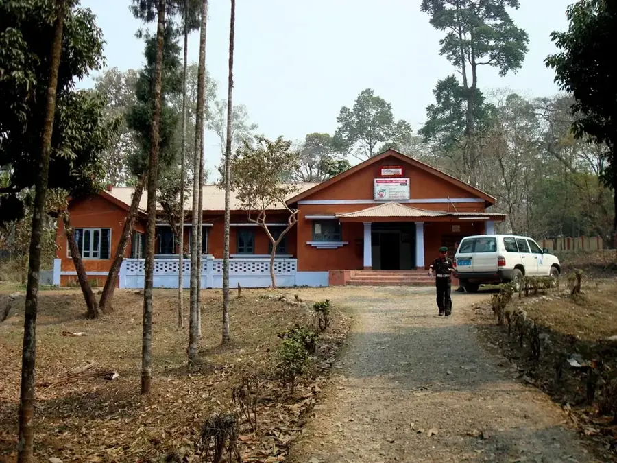
Notable places around
Route planner — Car & Motorhome
Where do you start? We build the route here, with stops and country notes along the way.
© OpenStreetMap contributors · OpenRouteService
Sights in the town Zongphu Kang (1)
Sights nearby
Frequently asked questions
Where is Zongphu Kang located?
How high is the peak?
How difficult is the hike there?
Is medical care available there?
When is the mountain snow-free?
Zongphu Kang: where is it located?
Zongphu Kang: when is the best time to visit?
Zongphu Kang: why is it worth visiting?

Nearby cities
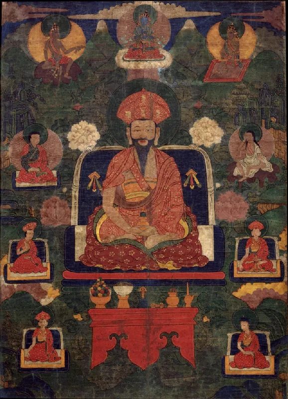
History & landmarks
Nature
More places