Plizio Visual Lab
Tsenda Kang
Weather…
Water temperature…
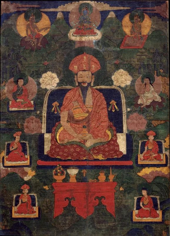
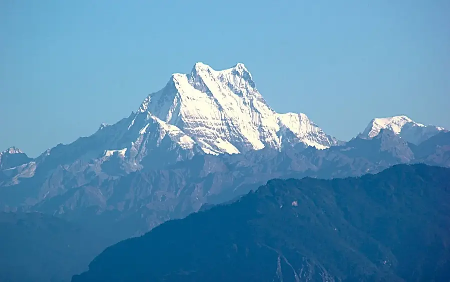
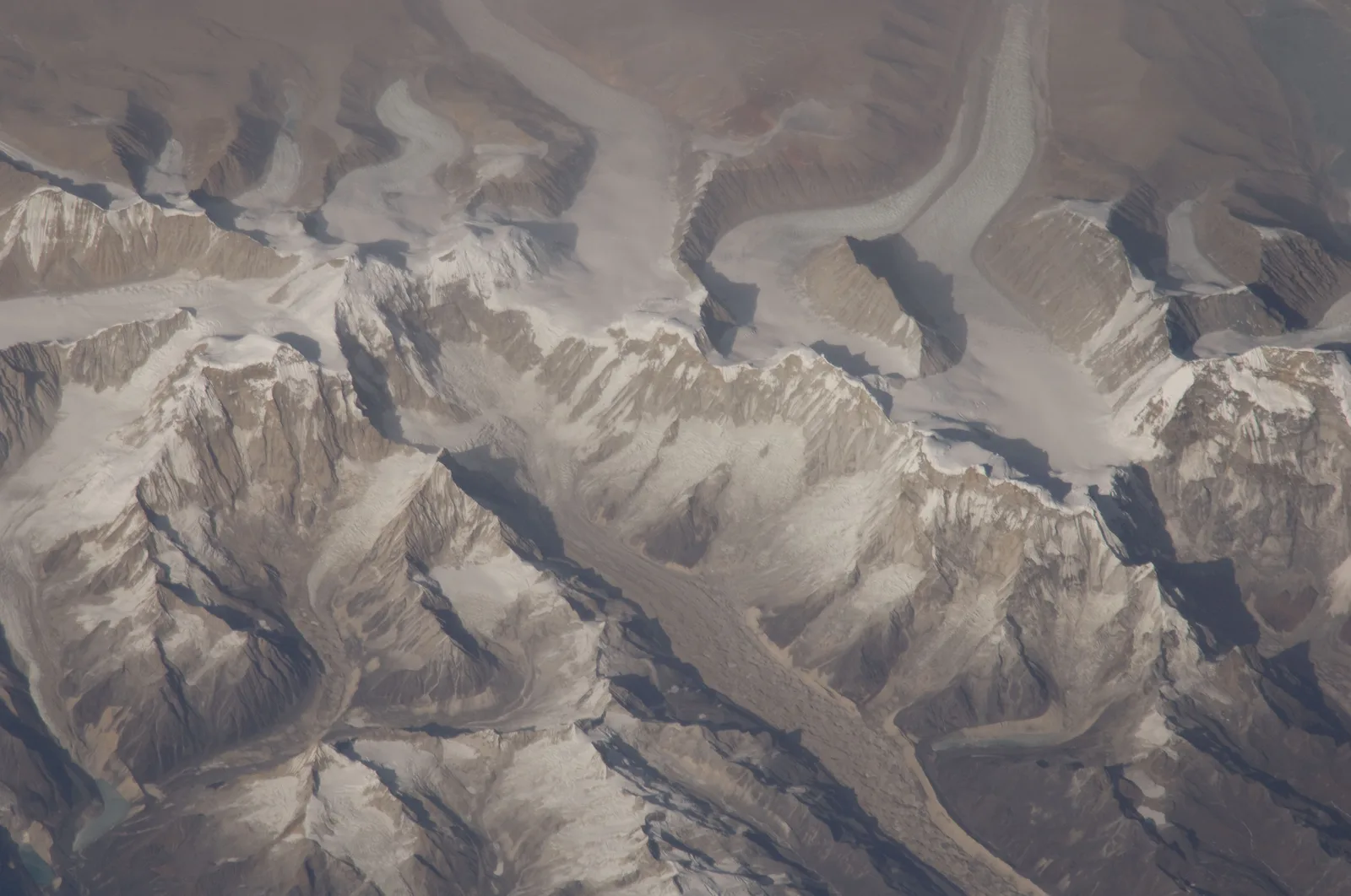
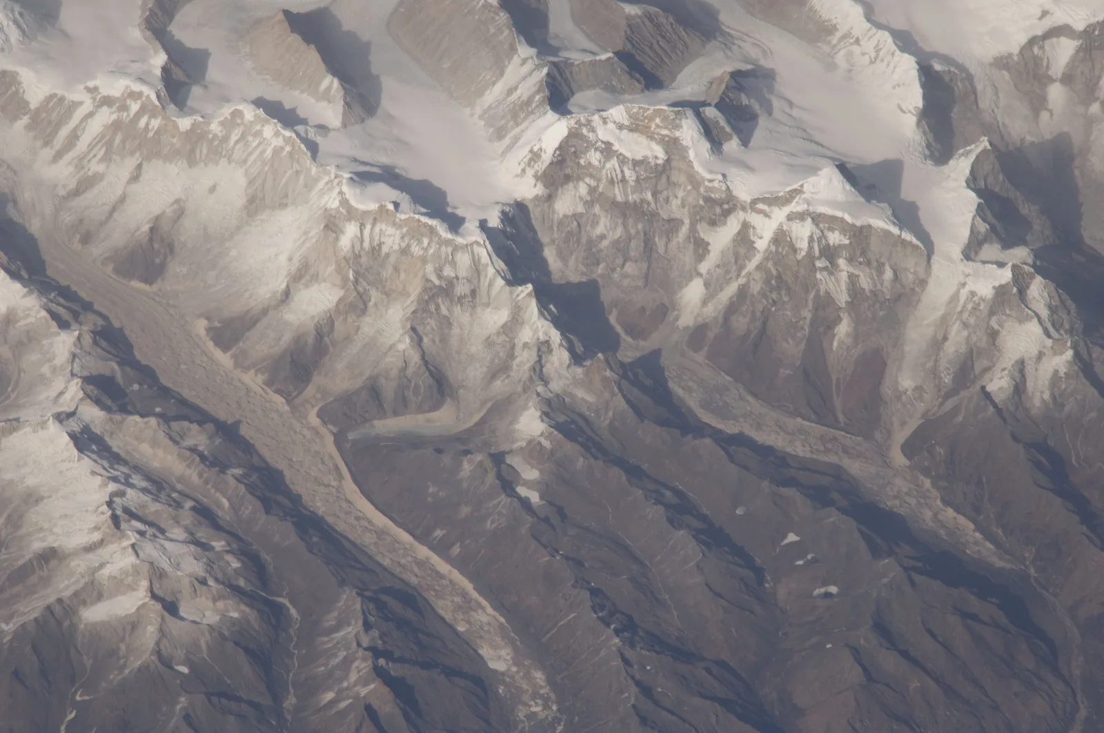
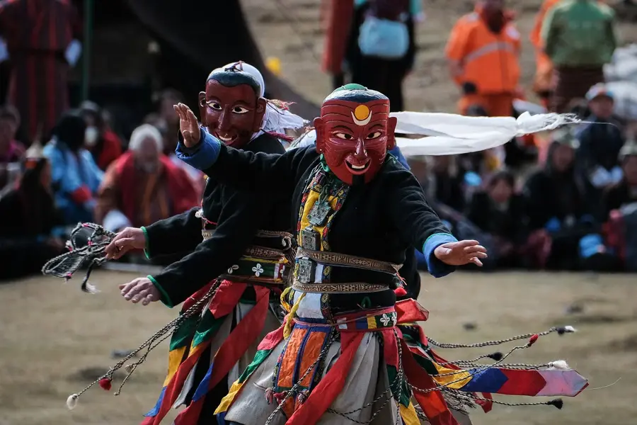
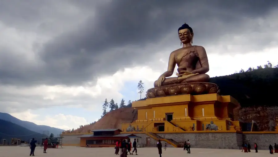
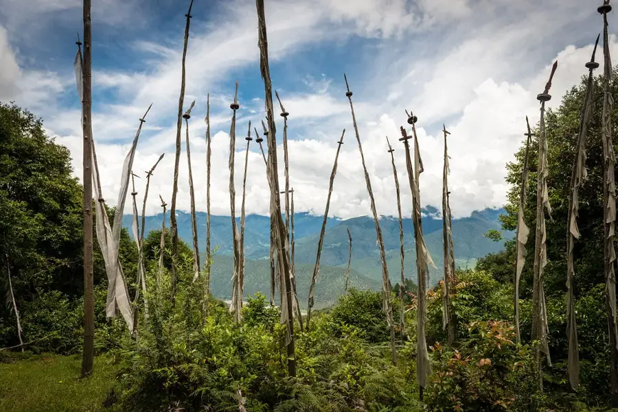
Tsenda Kang is an impressive peak with an elevation of approximately 6,960 meters in northern Bhutan. It is part of the Lunana mountain range and is located near Gangkhar Puensum, the highest mountain in Bhutan. Tsenda Kang is distinguished by its steep, ice-covered pyramidal shape, making it a visually striking point in the landscape. The mountain is located entirely within Bhutanese territory, in the Jigme Dorji National Park. Like many other high peaks in Bhutan, Tsenda Kang is unclimbed due to the government policy that prohibits mountaineering on sacred mountains. The region is extremely remote and can only be reached via multi-day, challenging treks. The surrounding environment is a high-alpine wilderness, characterized by glaciers, moraines, and sparse vegetation adapted to the harsh climatic conditions. The mountain and its neighbors are considered abodes of protective deities and hold great spiritual significance.
- Location: Bhutan
- Nearby: Lhamoizingkha (13 km)
Best time to visit & climate
The most pleasant time to visit is May, Jun, Sep.
| Jan | Feb | Mar | Apr | May | Jun | Jul | Aug | Sep | Oct | Nov | Dec | |
|---|---|---|---|---|---|---|---|---|---|---|---|---|
| Avg °C | -8 | -7 | -4 | 0 | 3 | 7 | 8 | 8 | 6 | 1 | -3 | -6 |
| Rain mm | 3 | 9 | 22 | 34 | 62 | 83 | 164 | 139 | 72 | 26 | 2 | 2 |
📋 Practical info
Geography
Facts
- Has a height of almost 7000 meters.
- Was historically mapped late.
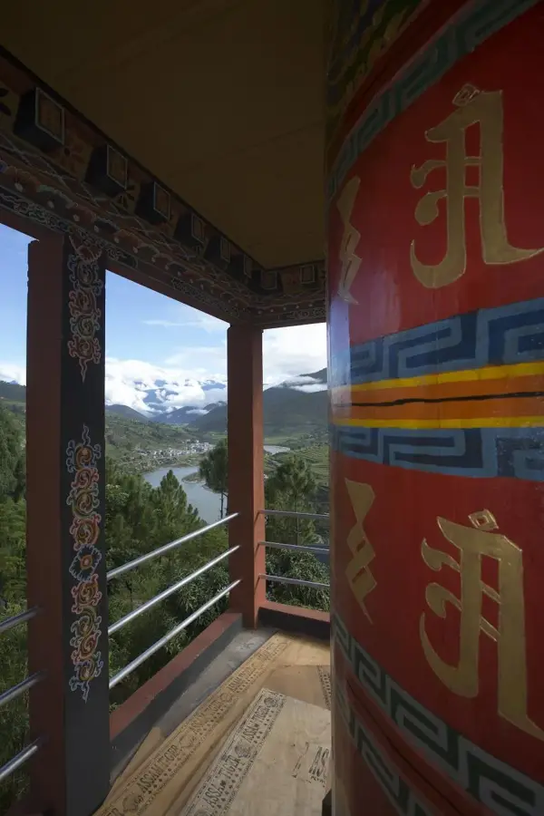
Explore nearby
Notable places around
Route planner — Car & Motorhome
Where do you start? We build the route here, with stops and country notes along the way.
© OpenStreetMap contributors · OpenRouteService
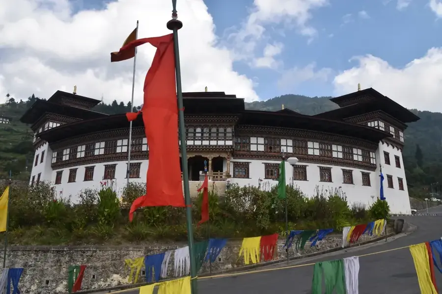
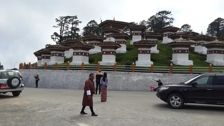
Sights in the town Tsenda Kang (1)
Sights nearby
Frequently asked questions
Where is Tsenda Kang located?
How high is it?
Is the mountain important for religious ceremonies?
Are there drinking water sources there?
How do you get to the region?
Tsenda Kang: where is it located?
Tsenda Kang: when is the best time to visit?
Tsenda Kang: why is it worth visiting?

Nearby cities
History & landmarks
Nature
More places