Plizio Visual Lab
Ragged Island Range

Weather…
Water temperature…
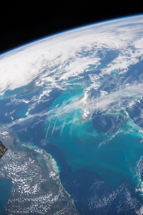
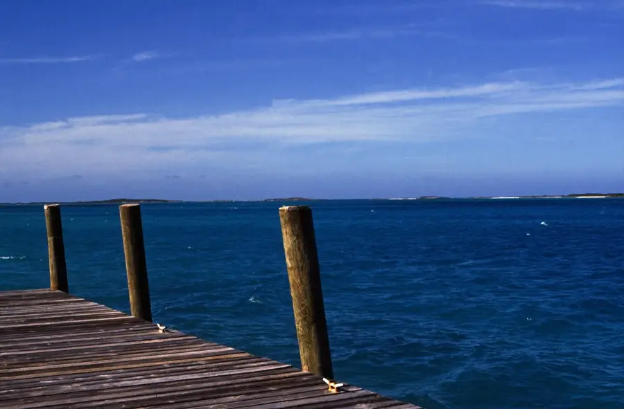
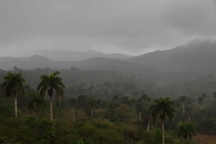
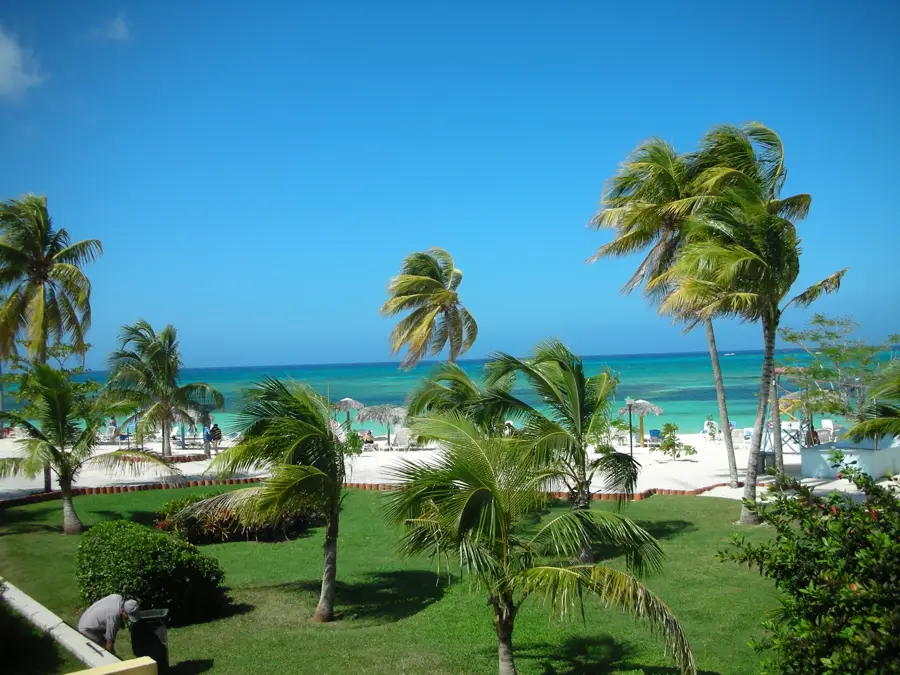
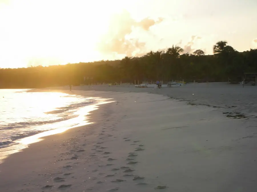
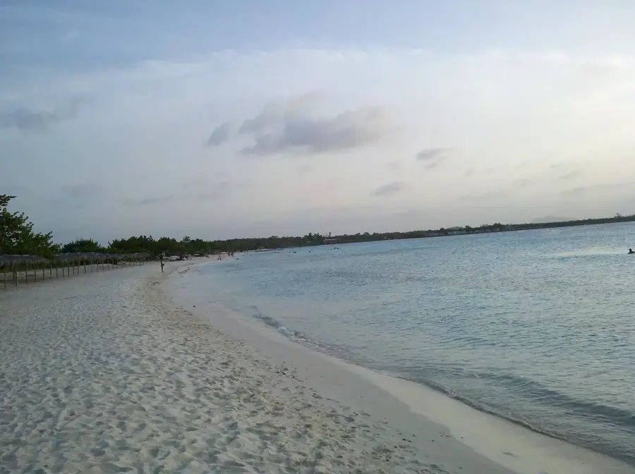
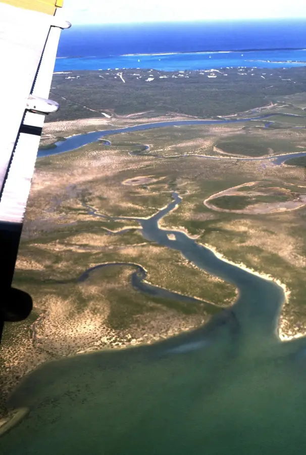
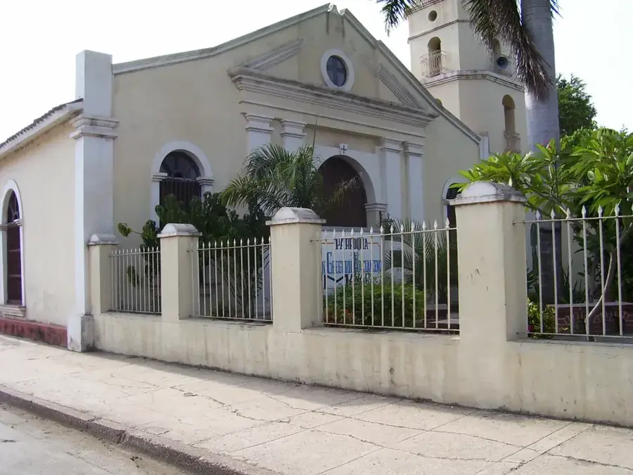
The Ragged Island Range is a 130-kilometer-long arc of small cays and islands forming the southern edge of the Jumento Banks in the Bahamas. This relief is characterized by its remoteness and the extremely shallow waters surrounding the archipelago, which complicates navigation for larger vessels. The history of the island chain is closely linked to salt production in the 19th century, when Duncan Town was established as the only permanent outpost. Geographical isolation has resulted in the natural environment remaining largely untouched, hosting a rich marine biodiversity. The relief consists primarily of limestone formations, partially covered by thin vegetation, providing nesting sites for various seabirds. In modern times, the Ragged Island Range primarily serves as a retreat for sport fishermen who appreciate the pristine coral reefs and fishing grounds. Due to its proximity to Cuba, the archipelago also holds strategic importance for the Bahamas Coast Guard. The residents of Duncan Town maintain a traditional lifestyle to this day, heavily influenced by the sea and fishing. Despite the challenges posed by tropical hurricanes, the island chain remains a symbol of Bahamian maritime endurance.
- Location: Bahamas
- Nearby: George Town (Exuma) (36 km)
Best time to visit & climate
The most pleasant time to visit is Jan–Mar.
| Jan | Feb | Mar | Apr | May | Jun | Jul | Aug | Sep | Oct | Nov | Dec | |
|---|---|---|---|---|---|---|---|---|---|---|---|---|
| Avg °C | 25 | 25 | 25 | 26 | 27 | 28 | 29 | 29 | 29 | 28 | 27 | 26 |
| Rain mm | 38 | 29 | 35 | 56 | 144 | 146 | 109 | 137 | 156 | 191 | 100 | 45 |
📋 Practical info
Geography
Facts
- Duncan Town is the only inhabited settlement in the chain.
- The Ragged Island Range is located about 110 kilometers north of Cuba.
- The Jumento Banks are known for their extremely shallow water depth.
- Salt was the main export product of the region in the 19th century.
- The island chain stretches across an arc of 130 kilometers.
- Duncan Town was named after its founder, Duncan Taylor.
Explore nearby
Notable places around
Route planner — Car & Motorhome
Where do you start? We build the route here, with stops and country notes along the way.
© OpenStreetMap contributors · OpenRouteService
Sights in the town Ragged Island Range (1)
Sights nearby
Frequently asked questions
What is the Ragged Island Range?
Is it difficult to get there?
Do people live on the islands?
What makes the area attractive for sailors?
Are there mountains there?
Ragged Island Range: where is it located?
Ragged Island Range: when is the best time to visit?
Ragged Island Range: why is it worth visiting?

Nearby cities


History & landmarks

More places