Plizio Visual Lab
Port St. George
ℹ️Practical info — Port St. George
▾
🌤 Weather — 5 days
📍 Nearby
Sights nearby
💡 Tips
- Keep in mind that Port St. George is mostly a planned development that remains rugged nature; don't expect urban infrastructure.
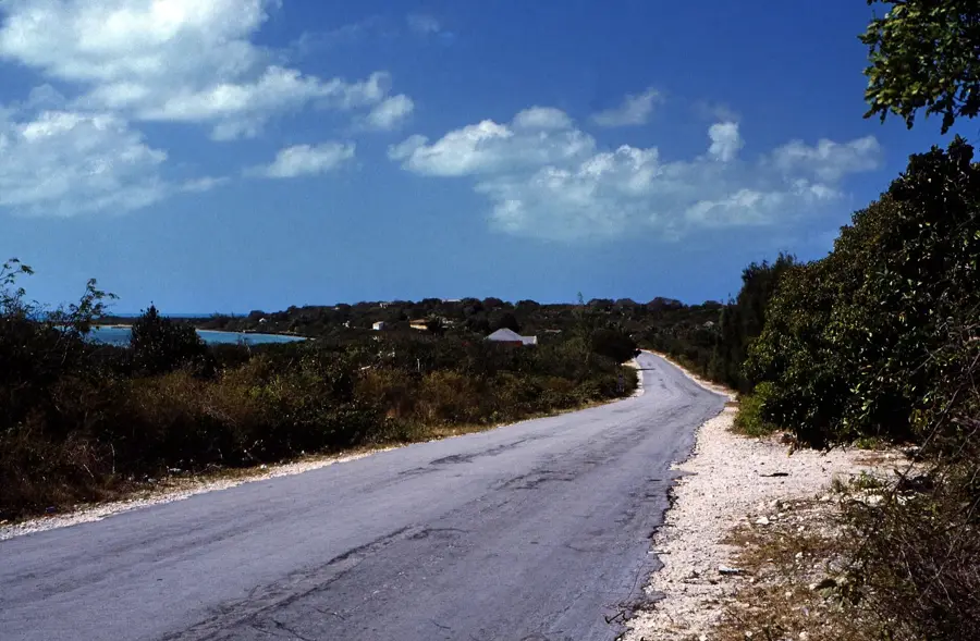
- Wear sturdy hiking shoes; the coastal terrain features sharp "ironshore" limestone that can be difficult to walk on.
- Bring all the food, water, and emergency supplies you might need, as there are no shops or facilities here.
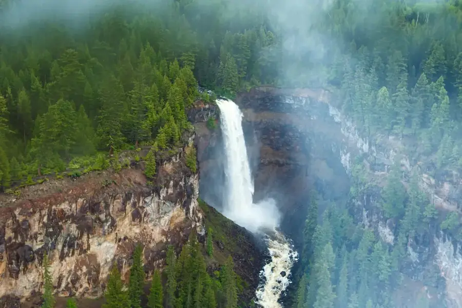
- The area features spectacular, dramatic views of the Atlantic Ocean crashing against the cliffs, so keep your camera handy.
🍽 Food
Pack a hearty picnic from Clarence Town or Stella Maris before coming here.
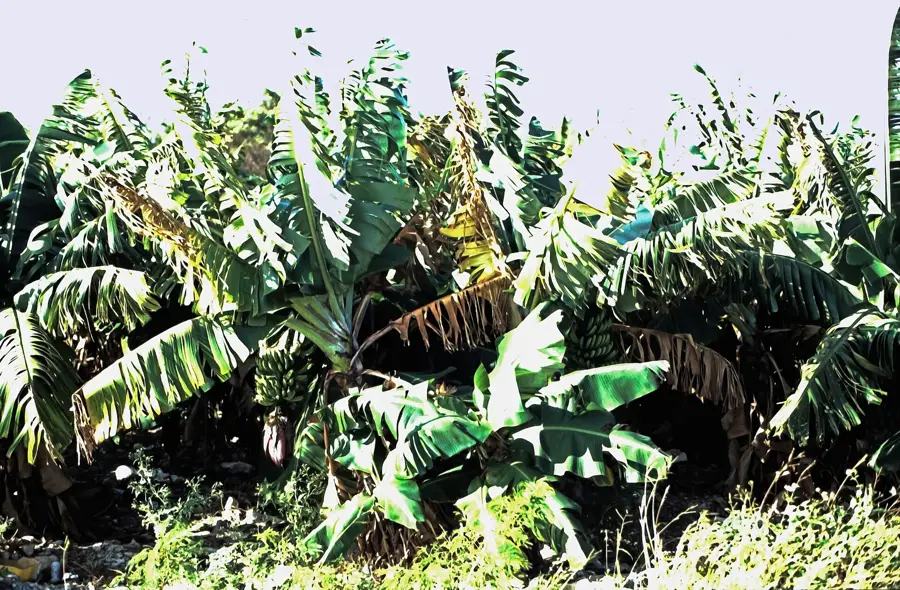
You might spot wild coconut trees, but you'll need to know how to safely open them yourself.
Head to nearby established settlements for fresh grouper or conch.
🛍 Shopping · 🧘 Quiet spots
There is no shopping here. Stock up at the stores in nearby Stella Maris or Clarence Town.
Absolutely essential to buy before your hike, as there is no fresh water source available.
Stand atop the rugged limestone cliffs and watch the powerful ocean waves roll in.
The quiet nature reclaiming the planned roads features a uniquely peaceful, slightly eerie atmosphere.
Water temperature…
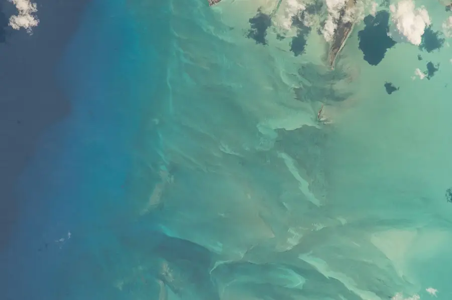
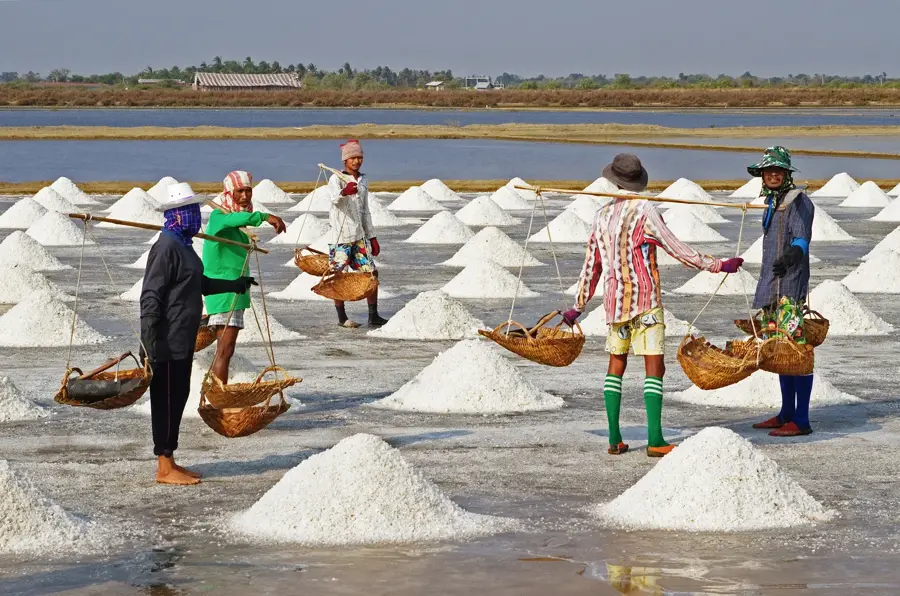
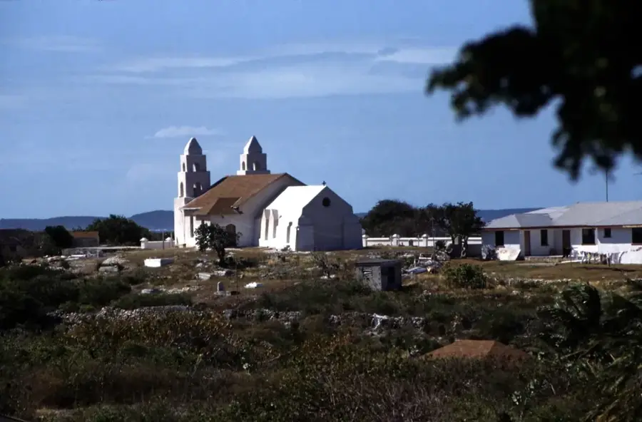
Port St. George is a prestigious development area located on the northern reaches of Long Island in the Bahamas. This region is the site of a major eco-luxury initiative designed to create a sustainable destination that balances modern amenities with environmental preservation. Geographically, Port St. George spans from the tranquil waters of the Exuma Bank to the rugged Atlantic coast, offering diverse beach landscapes. Historically, northern Long Island was a center for salt production and boat building, with the nearby Stella Maris community establishing the area as a travel destination in the 1960s. The Port St. George project features a world-class marina, extensive solar power arrays, and a commitment to zero-carbon operations. The topography is characterized by rolling ridges that provide panoramic vistas of the surrounding turquoise sea. This area is also close to unique geological features such as limestone caverns and deep blue holes, which attract explorers and scientists. As a focal point for future growth, Port St. George aims to elevate Long Island's profile in the global tourism market while protecting its natural heritage.
- Location: Bahamas
- Nearby: Cecil (8 km)
Best time to visit & climate
The most pleasant time to visit is Jan–Mar.
| Jan | Feb | Mar | Apr | May | Jun | Jul | Aug | Sep | Oct | Nov | Dec | |
|---|---|---|---|---|---|---|---|---|---|---|---|---|
| Avg °C | 24 | 24 | 25 | 25 | 26 | 28 | 29 | 29 | 29 | 28 | 27 | 26 |
| Rain mm | 29 | 20 | 21 | 36 | 74 | 65 | 49 | 57 | 75 | 107 | 64 | 32 |
Geography
Facts
- Port St. George is located on the northern tip of Long Island.
- The development includes a marina capable of hosting over 600 vessels.
- The site is designed for 100% solar energy independence.
- It is situated close to the Stella Maris international airport.
- The property features frontage on both the Atlantic and Exuma Bank sides.
- Northern Long Island was historically significant for salt and sisal trade.
Explore nearby
Notable places around
Route planner — Car & Motorhome
Where do you start? We build the route here, with stops and country notes along the way.
© OpenStreetMap contributors · OpenRouteService
Frequently asked questions
What is Port St. George?
Where on Long Island is it located?
What makes the project special?
Is there a marina there?
Is it open to visitors yet?
Port St. George: where is it located?
Port St. George: when is the best time to visit?

Nearby cities


History & landmarks
More places