Plizio Visual Lab
Lower Bogue

ℹ️Practical info — Lower Bogue
▾
🌤 Weather — 5 days
📍 Nearby
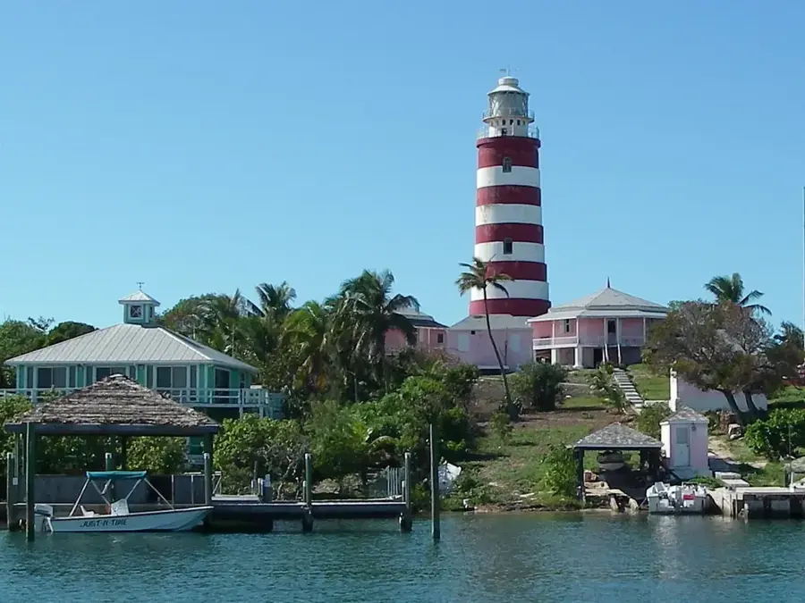
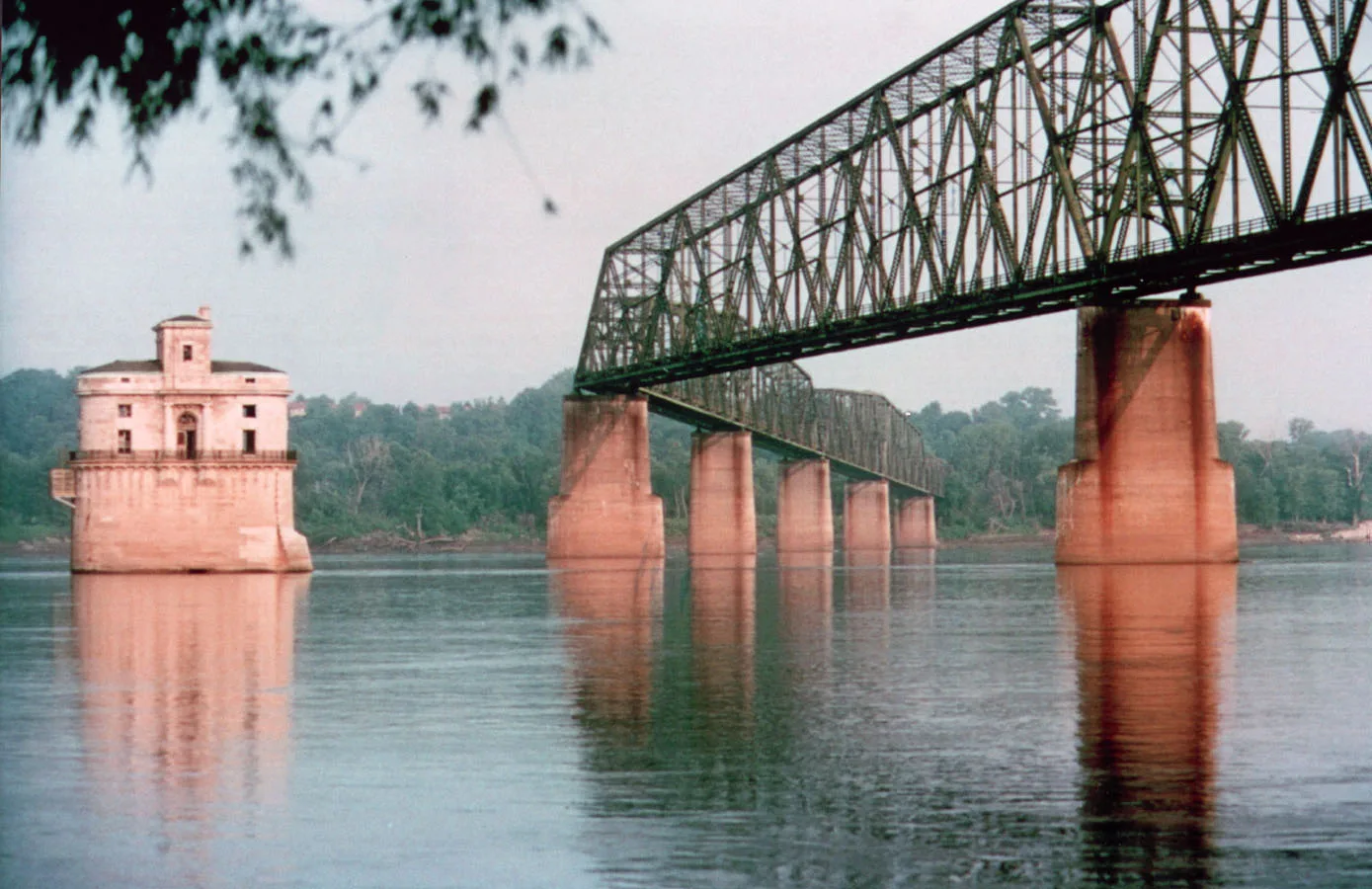
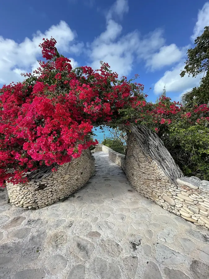
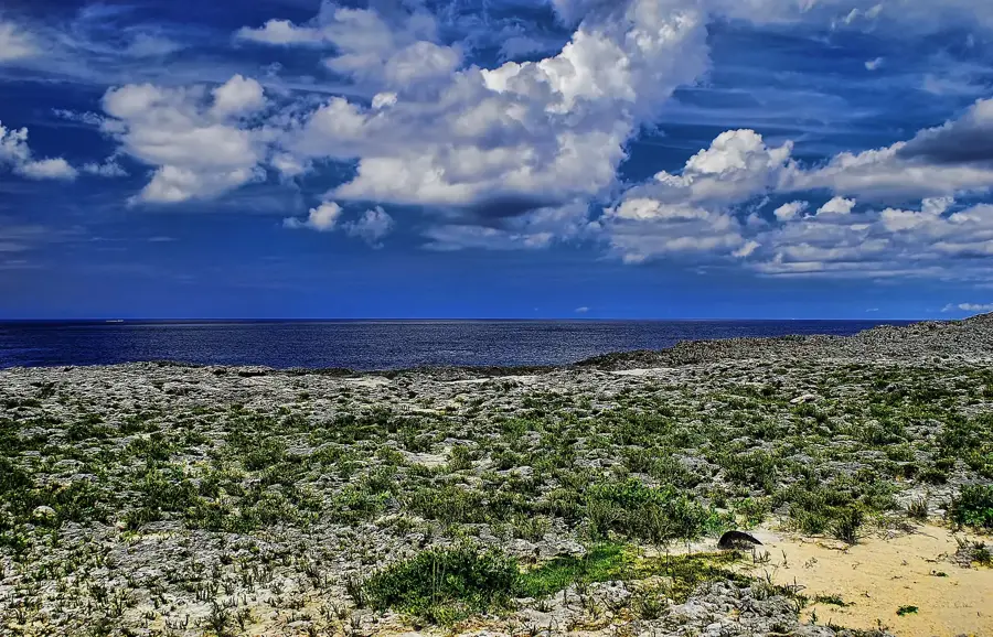
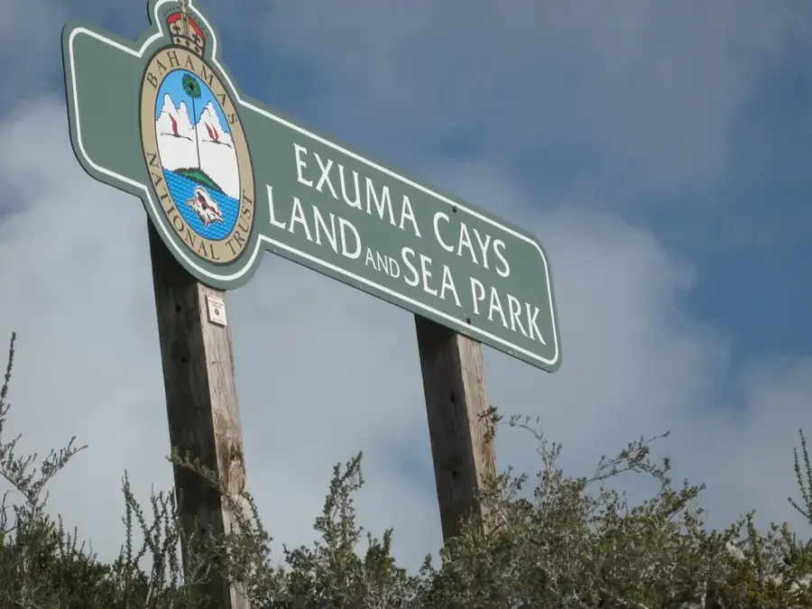
Sights nearby
💡 Tips
- This is a peaceful residential area; respect private property when exploring.
- It's a good base for reaching the Glass Window Bridge and other North Eleuthera sights.
- Taxis to the North Eleuthera Airport can be arranged through locals, but book a day in advance.
- Carry sun protection, as shade is sparse on the main connecting roads.
🍽 Food
Available in season at local eateries
Traditional seafood spots
A traditional Bahamian soup served for breakfast
🛍 Shopping · 🧘 Quiet spots
Seasonal roadside stands
Handmade by local craftmakers
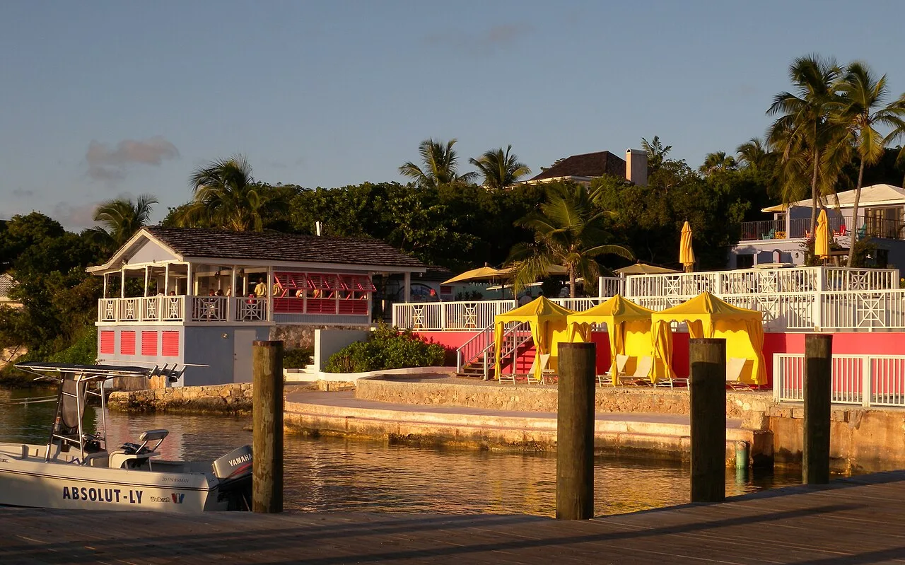
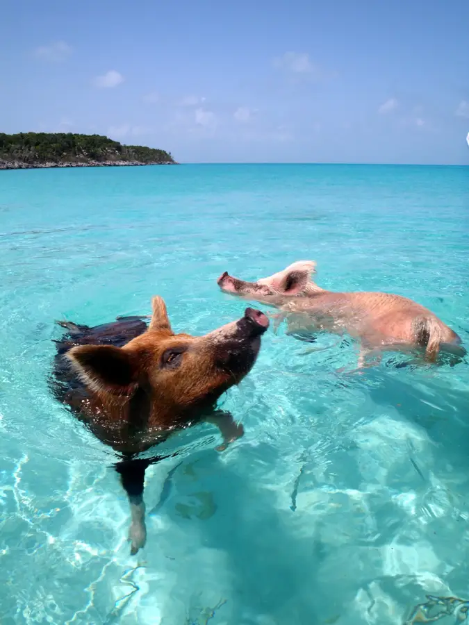
The calm waters on the leeward side of the settlement
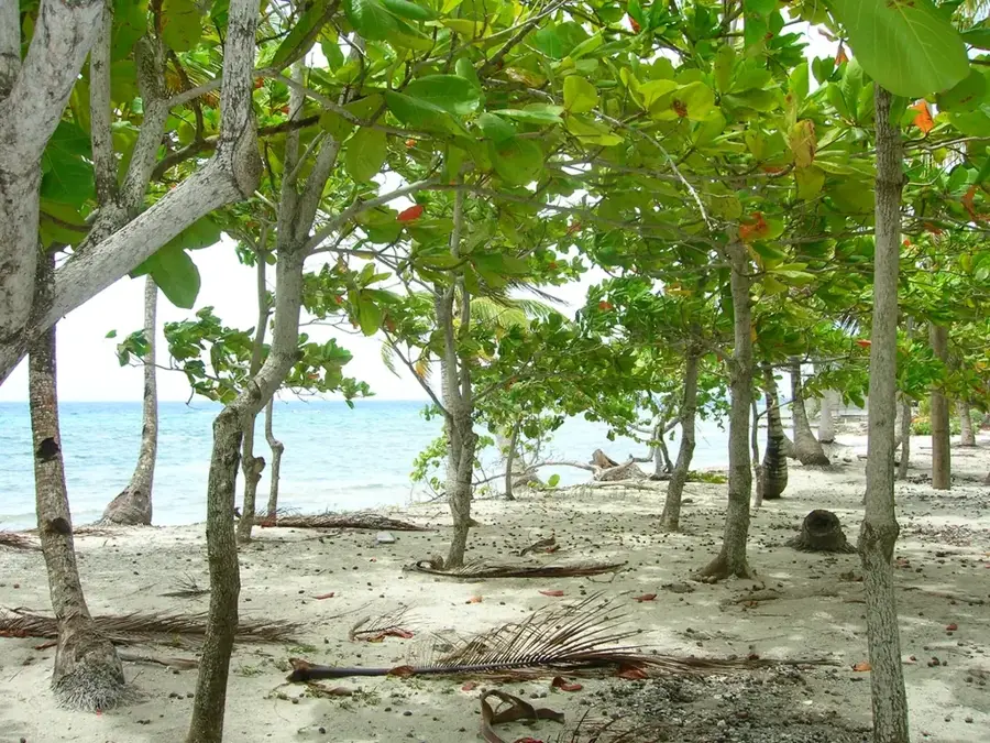
Surrounded by lush island vegetation
Water temperature…
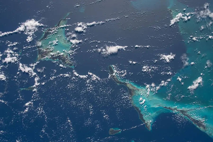
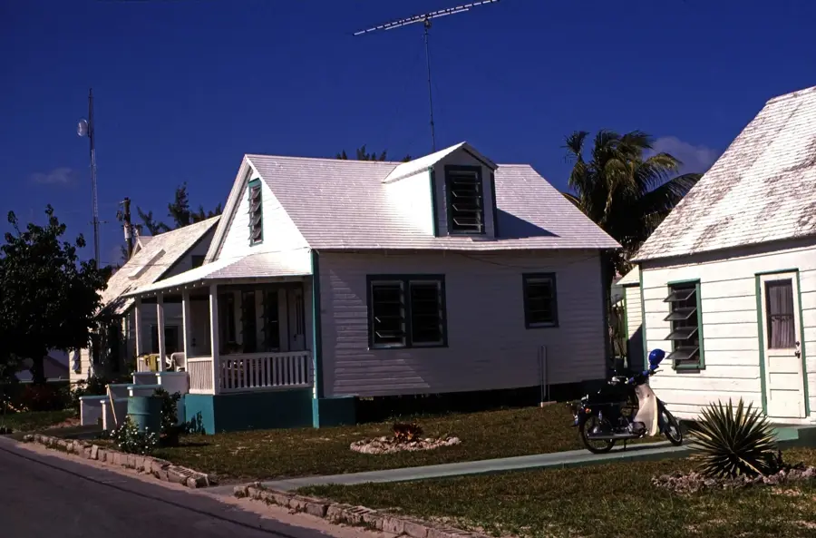
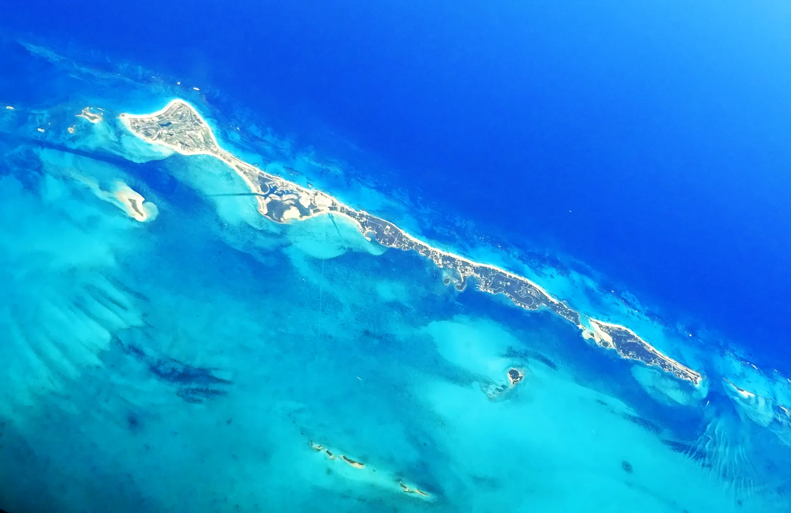
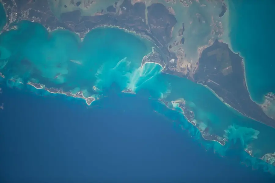
Lower Bogue is a peaceful and pleasant settlement located in the northern region of Eleuthera, an island in the Bahamas. Situated within the North Eleuthera district, the village serves as a vital community hub due to its proximity to the North Eleuthera Airport and major ferry docks. Historically, the area was deeply rooted in agriculture, particularly during the 19th-century pineapple boom that once dominated Eleuthera's economy. Today, Lower Bogue is primarily a residential community characterized by traditional Bahamian architecture and a slow-paced lifestyle. The settlement is strategically positioned near the world-famous Glass Window Bridge, where the dark blue waters of the Atlantic Ocean and the turquoise Caribbean Sea are separated by a narrow strip of rock. It often serves as a practical gateway for travelers heading to the nearby islands of Harbour Island and Spanish Wells. Despite being close to major tourist attractions, Lower Bogue maintains an authentic Out Island character, offering a glimpse into the genuine daily life of Bahamian residents.
- Location: Bahamas
- Nearby: Current (8 km)
- Population: ~1.500 (2026)
Best time to visit & climate
The most pleasant time to visit is Jan–Mar.
| Jan | Feb | Mar | Apr | May | Jun | Jul | Aug | Sep | Oct | Nov | Dec | |
|---|---|---|---|---|---|---|---|---|---|---|---|---|
| Avg °C | 23 | 23 | 23 | 24 | 25 | 27 | 28 | 29 | 28 | 27 | 25 | 24 |
| Rain mm | 38 | 33 | 40 | 56 | 114 | 131 | 107 | 122 | 145 | 113 | 66 | 38 |
Geography
Facts
- Lower Bogue is located in the North Eleuthera district of the Bahamas.
- The settlement is situated approximately 3 kilometers from North Eleuthera Airport.
- Historically, the region was a center for pineapple production in the 1800s.
- It is located near the Glass Window Bridge, a major natural landmark on the island.
- The village acts as a gateway to ferry services for Harbour Island and Spanish Wells.
- Lower Bogue is known for its traditional Bahamian residential architecture.
Explore nearby
Notable places around
Route planner — Car & Motorhome
Where do you start? We build the route here, with stops and country notes along the way.
© OpenStreetMap contributors · OpenRouteService
Frequently asked questions
What is the role of Lower Bogue?
How far is it to Harbour Island?
Are there gas stations in Lower Bogue?
What is the climate?
Are there ATMs there?
Lower Bogue: where is it located?
Lower Bogue: when is the best time to visit?
Lower Bogue: why is it worth visiting?

Nearby cities


History & landmarks

More places