Plizio Visual Lab
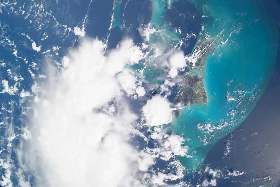
The Berry Islands' Sand Flats
Weather…
Water temperature…
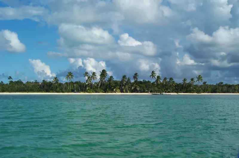
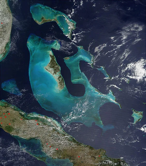
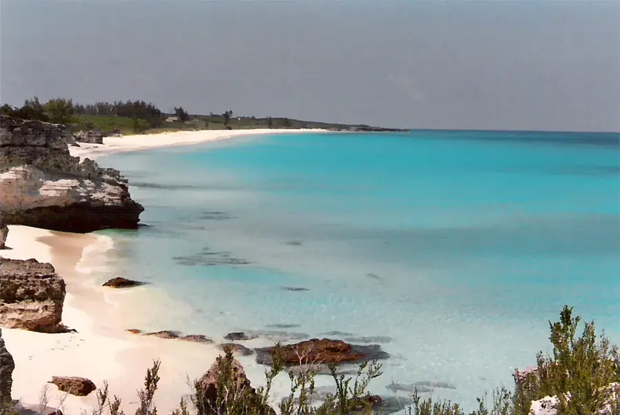
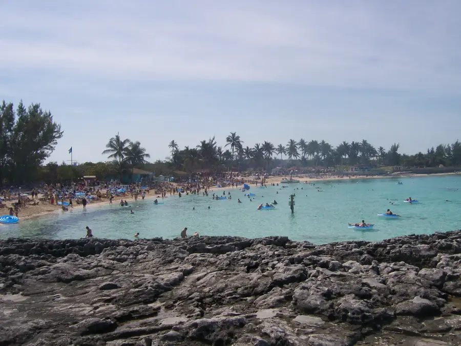
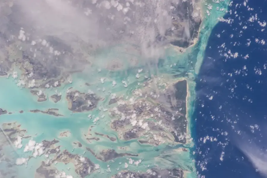
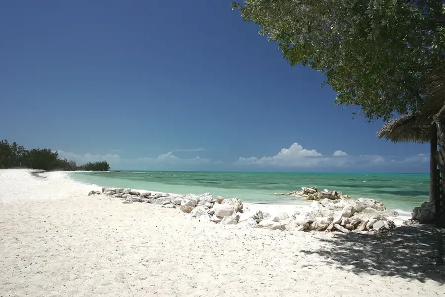
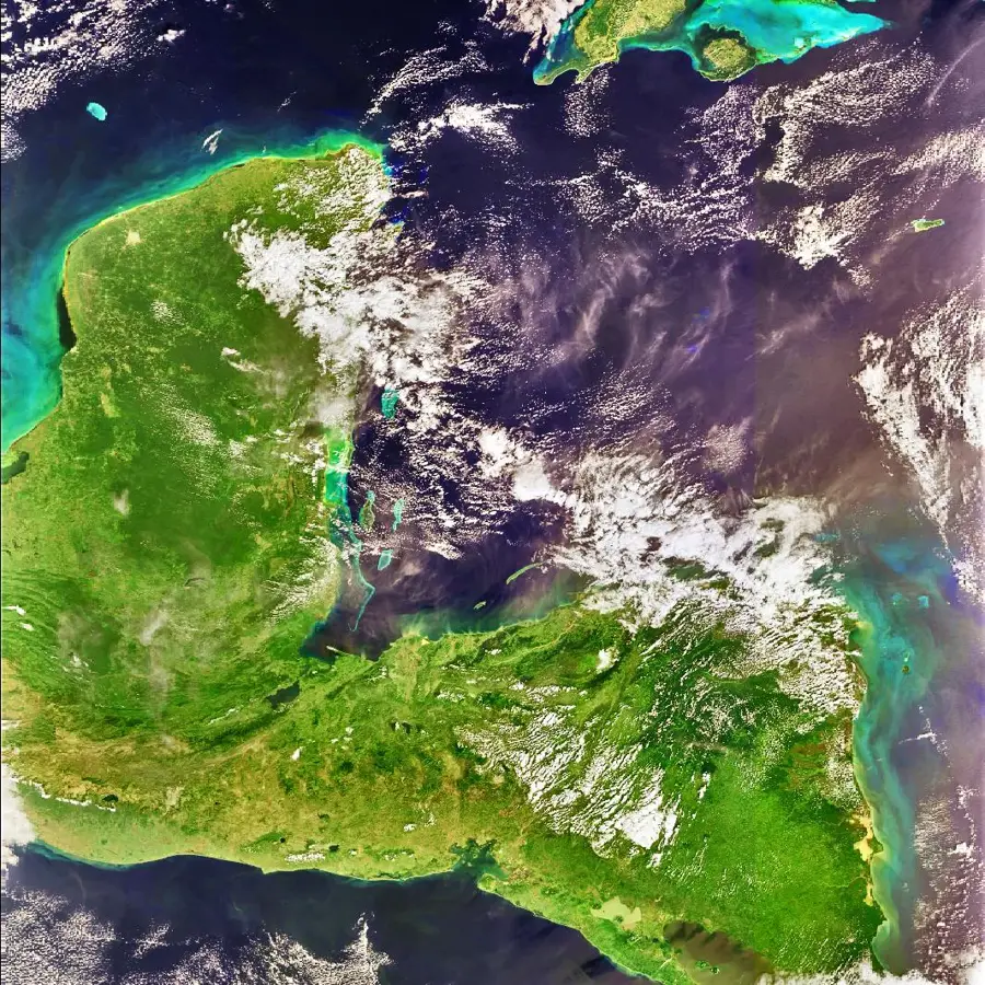
The Berry Islands' sand flats represent a remarkable geological formation in the Bahamas, stretching across vast portions of the Great Bahama Bank. These shallow areas, composed of white carbonate sand, are world-renowned for their brilliant turquoise hues and their ecological significance as a habitat for numerous marine species. Historically, these waters have served as important navigational points since the 18th century for sailors traversing the route between Florida and the Caribbean. The Berry Islands encompass approximately 30 islands and cays, where the shallow flats provide a convenient territory for bonefishing, which constitutes a significant part of the local economy. Geographically, they are located about 50 kilometers north of Andros and are characterized by extremely shallow water depths, often reaching only a few meters. Today, the sand flats are not only a paradise for ecotourists but also a critical research area for marine biologists studying the impacts of climate change on shallow marine ecosystems. The combination of pristine nature and strategic location makes this relief one of the most distinctive features of the Bahamian archipelago.
- Location: Bahamas
- Nearby: Andros Town (24 km)
Best time to visit & climate
The most pleasant time to visit is Jan–Mar.
| Jan | Feb | Mar | Apr | May | Jun | Jul | Aug | Sep | Oct | Nov | Dec | |
|---|---|---|---|---|---|---|---|---|---|---|---|---|
| Avg °C | 22 | 23 | 23 | 25 | 26 | 28 | 29 | 29 | 29 | 27 | 25 | 24 |
| Rain mm | 43 | 36 | 45 | 62 | 123 | 157 | 131 | 149 | 174 | 124 | 64 | 42 |
📋 Practical info
Geography
Facts
- The Berry Islands encompass a land area of approximately 78 square kilometers.
- The sand flats are located about 15 miles north of Andros Island.
- The area is considered the world capital for bonefishing.
- The Great Bahama Bank is composed primarily of biogenic carbonate sand.
- Water depth on the flats is often less than 2 meters.
- Large portions of the flats are almost completely dry during low tide.
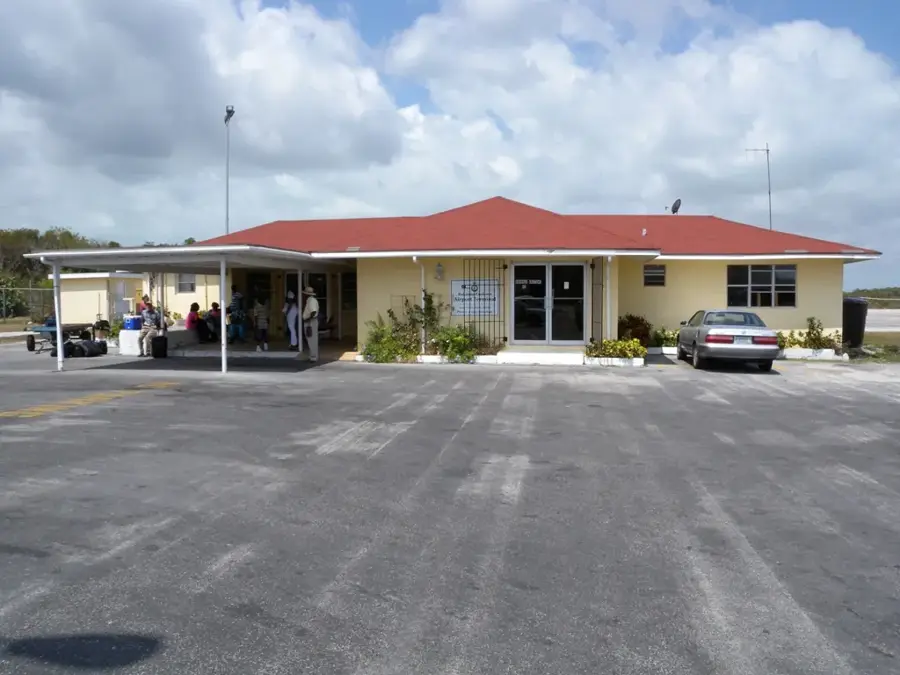
Explore nearby
Notable places around
Route planner — Car & Motorhome
Where do you start? We build the route here, with stops and country notes along the way.
© OpenStreetMap contributors · OpenRouteService
Sights nearby
Frequently asked questions
What are the Berry Islands sand flats?
Can you find conch shells there?
Are the flats dangerous for boats?
What can you fish there?
Can you walk on the sandbanks?
The Berry Islands' Sand Flats: where is it located?
The Berry Islands' Sand Flats: when is the best time to visit?
The Berry Islands' Sand Flats: why is it worth visiting?

Nearby cities


History & landmarks

Nature

More places