Plizio Visual Lab
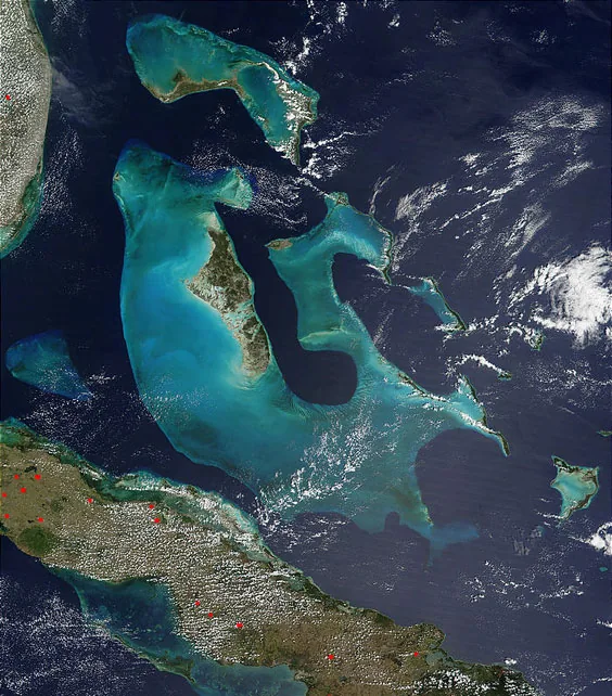
Andros Mangrove Forests
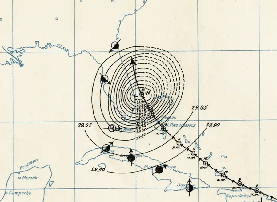
Weather…
Water temperature…
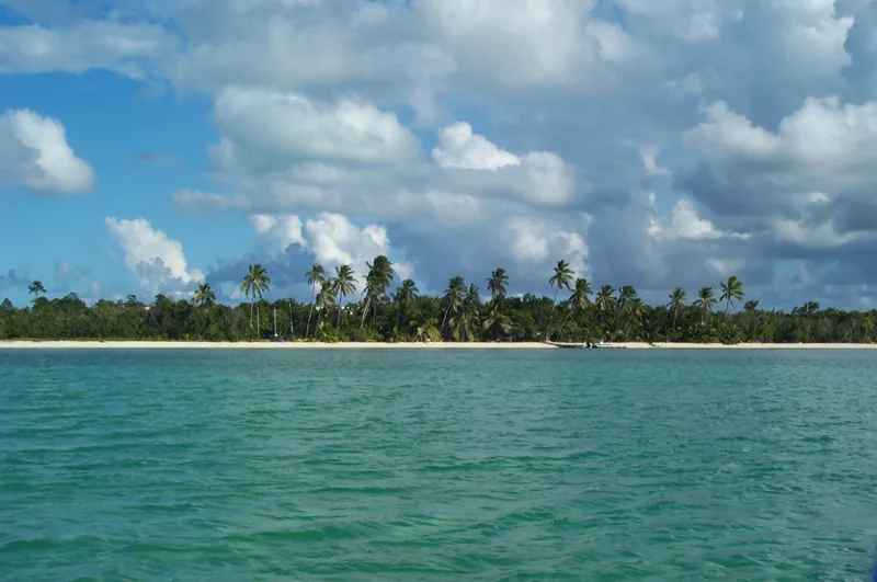
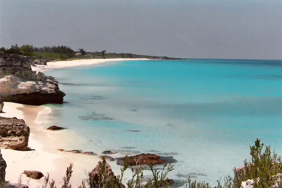
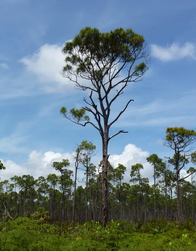
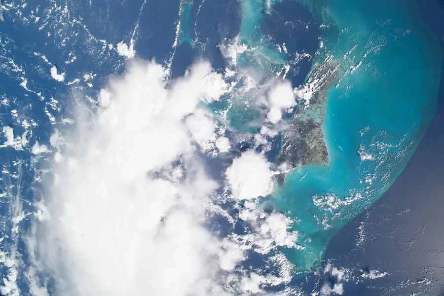
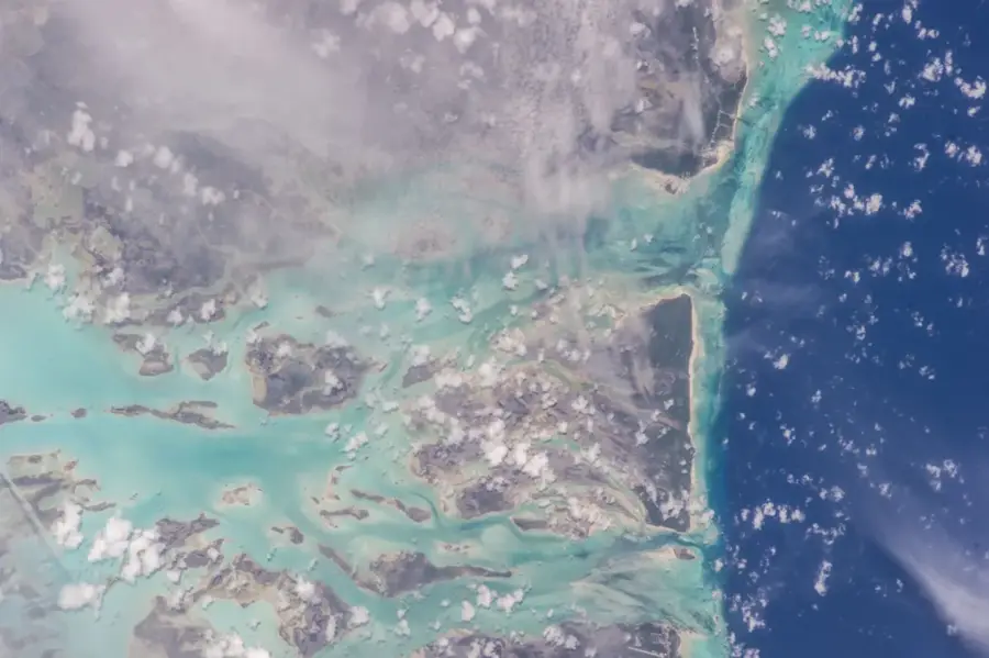
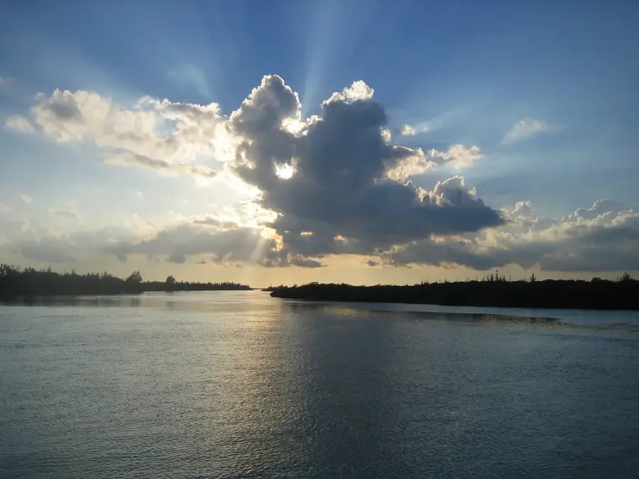
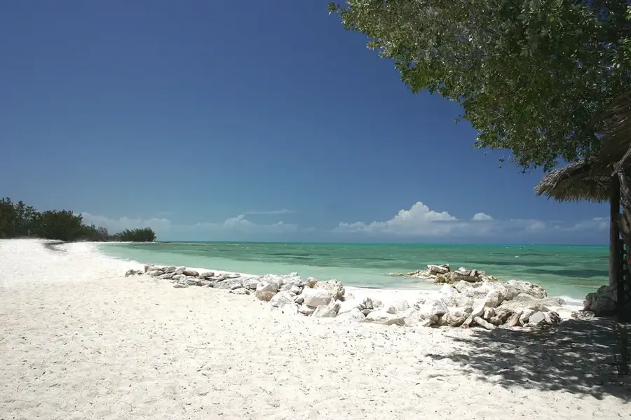
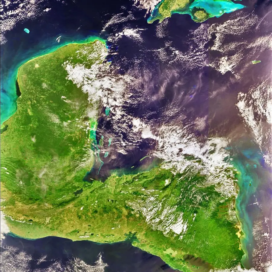
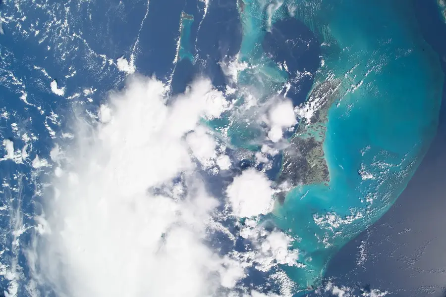
The mangrove forests of Andros constitute a vast and intricate ecosystem that dominates the coastal margins and internal waterways of the largest island in the Bahamas. This wilderness is primarily composed of Red, Black, and White mangroves, along with Buttonwood, each occupying distinct ecological niches based on salinity and tidal exposure. Geographically, these forests serve as a critical nursery for a myriad of marine species, including snappers, crawfish, and the economically vital bonefish, earning Andros its reputation as the 'Bonefishing Capital of the World.' The complex prop-root systems of the Red Mangroves are highly effective at preventing coastal erosion and acting as a natural buffer against the destructive forces of hurricane storm surges. Historically, these nearly impenetrable wetlands provided a safe haven for indigenous wildlife and served as a vital source of food and materials for early inhabitants. Today, vast sections are protected under the Central Andros National Park, one of the largest marine and terrestrial preserves in the country. The ecosystem is uniquely integrated with the island's famous inland 'blue holes,' as subterranean conduits often link the deep limestone caves to the mangrove swamps. Furthermore, these forests are significant carbon sinks, playing a vital role in global climate regulation. They also provide essential nesting sites for diverse avian populations, including herons, egrets, and the elusive roseate spoonbill. Preserving the integrity of the Andros mangroves is paramount to the ecological health of the entire Bahamian archipelago.
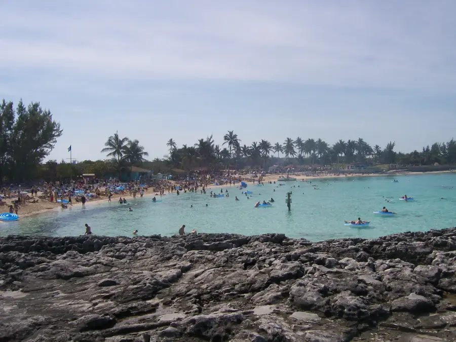
- Location: Bahamas
- Nearby: Andros Town (16 km)
Best time to visit & climate
The most pleasant time to visit is Jan, Feb, Dec.
| Jan | Feb | Mar | Apr | May | Jun | Jul | Aug | Sep | Oct | Nov | Dec | |
|---|---|---|---|---|---|---|---|---|---|---|---|---|
| Avg °C | 22 | 23 | 24 | 25 | 27 | 28 | 29 | 29 | 29 | 27 | 25 | 24 |
| Rain mm | 35 | 34 | 41 | 65 | 137 | 166 | 146 | 170 | 178 | 125 | 64 | 39 |
📋 Practical info
Geography
Facts
- Andros contains the largest interconnected mangrove system in the Bahamian islands.
- Red mangroves are known as 'walking trees' due to their arched prop roots.
- The mangrove wetlands are essential for the life cycle of the Caribbean spiny lobster.
- These forests contribute significantly to the islands' commercial bonefishing industry.
- Mangroves are one of the most effective natural defenses against coastal sea-level rise.
- Central Andros National Park protects a significant portion of this vital habitat.
Explore nearby
Notable places around
Route planner — Car & Motorhome
Where do you start? We build the route here, with stops and country notes along the way.
© OpenStreetMap contributors · OpenRouteService
Sights nearby
Frequently asked questions
Why are the Andros mangrove forests important?
Can you visit the mangroves?
Are there many mosquitoes there?
What mangrove species are found here?
Can you walk through the mangroves?
Andros Mangrove Forests: where is it located?
Andros Mangrove Forests: when is the best time to visit?
Andros Mangrove Forests: why is it worth visiting?

Nearby cities


History & landmarks


Nature
More places