Plizio Visual Lab
Andros Island
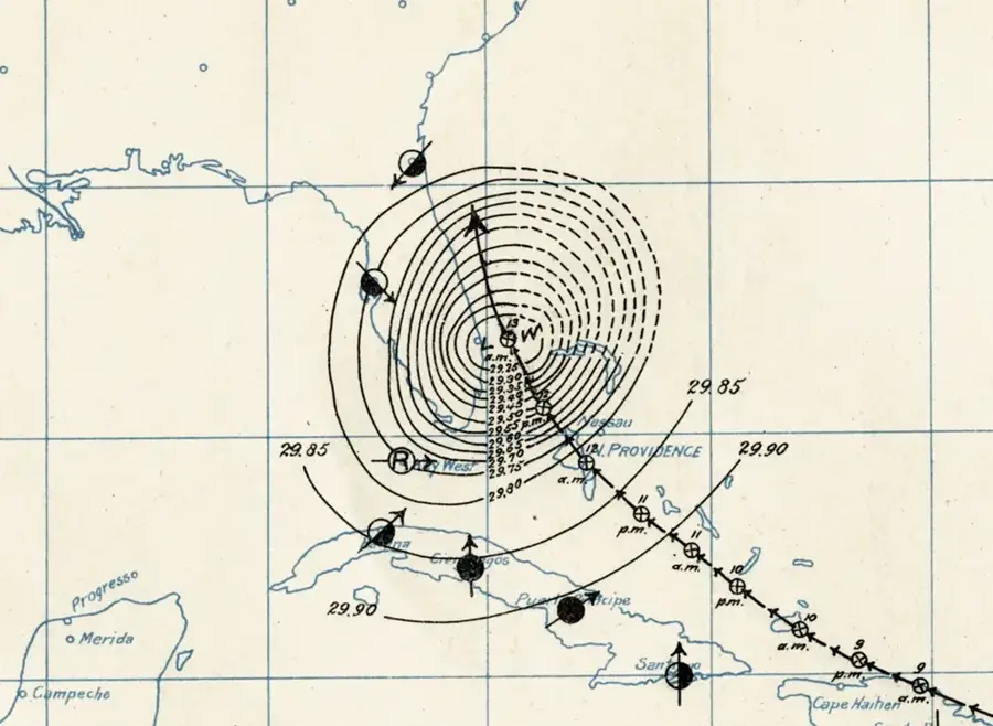
Weather…
Water temperature…
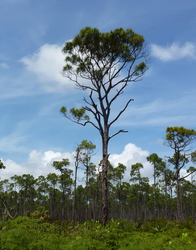
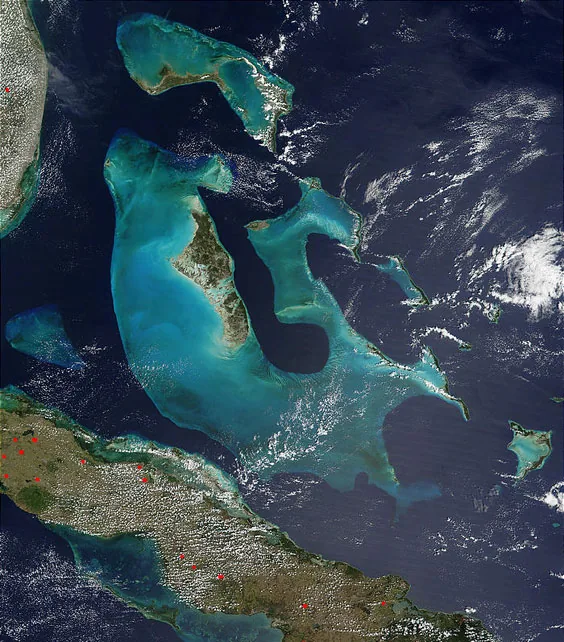
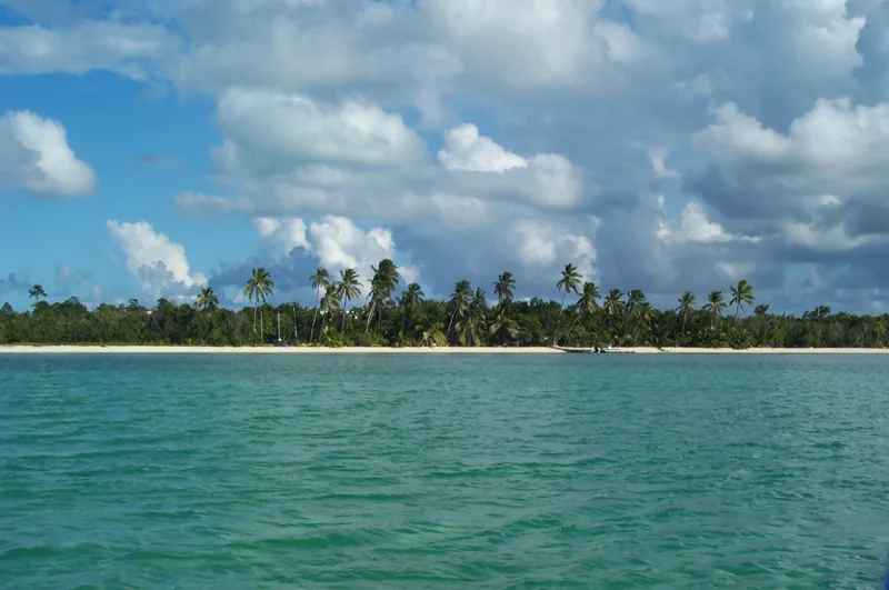
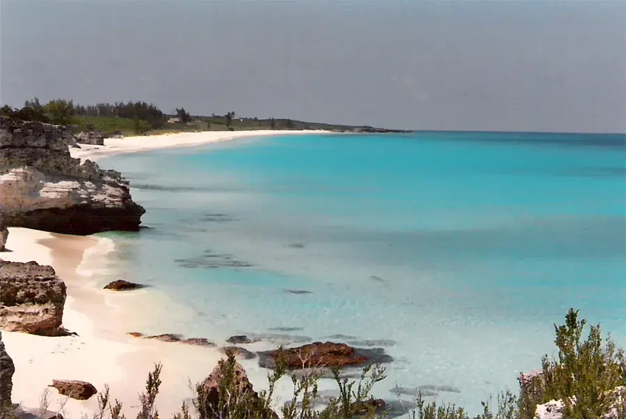
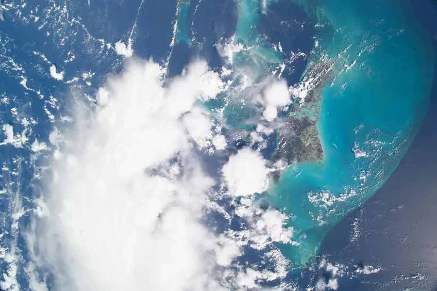
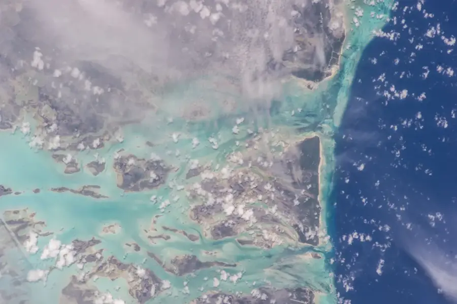
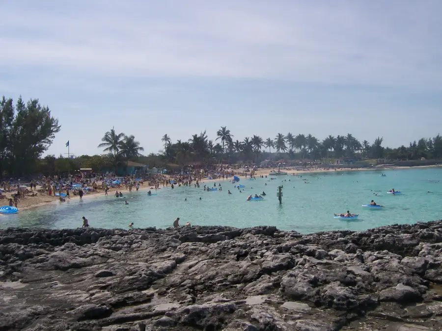
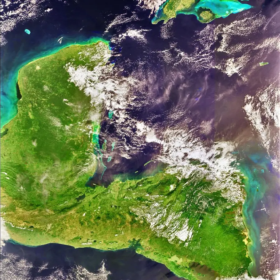
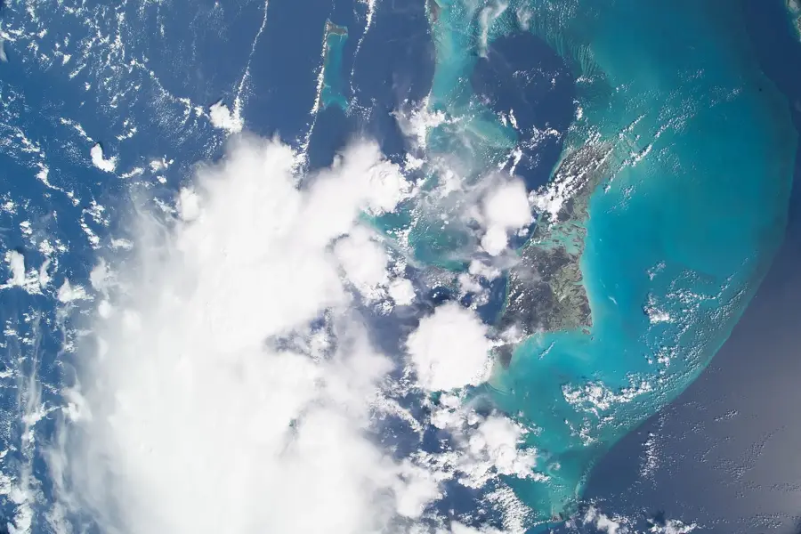
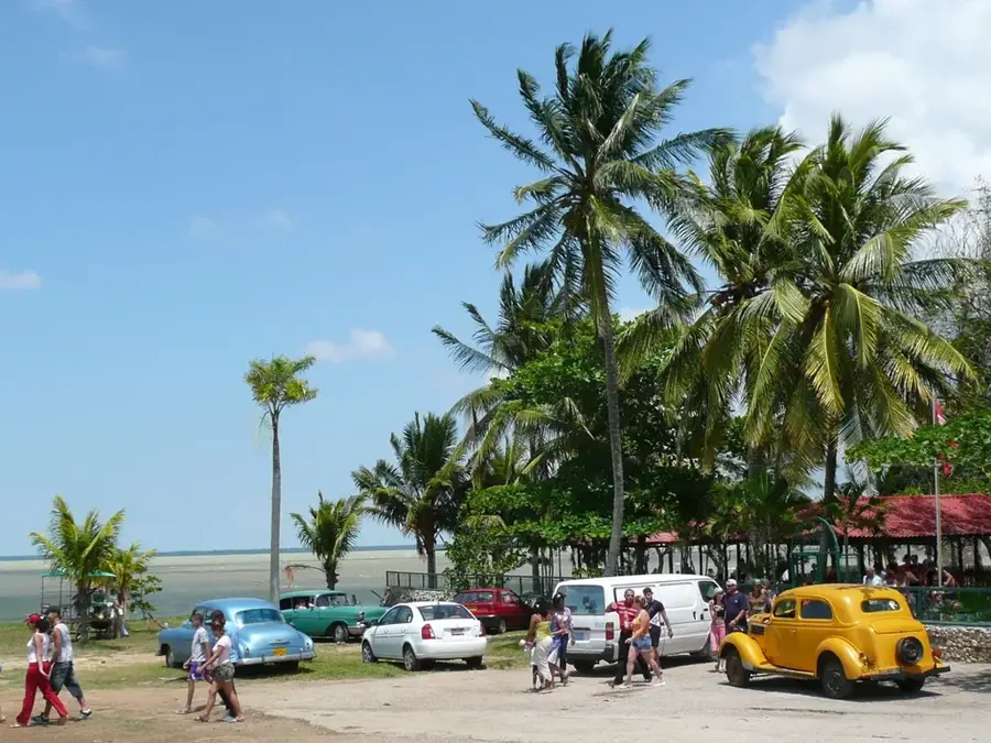
Andros Island is the largest landmass in the Bahamas, covering approximately 5,957 square kilometers, yet it remains sparsely populated due to its complex geography. Geologically, it consists of three main islands, North Andros, Central Andros, and South Andros, separated by wide tidal estuaries and mangrove swamps. Along its eastern edge lies the Andros Barrier Reef, which stretches for 305 kilometers and ranks as the third-largest barrier reef system in the world. Just beyond the reef, the seabed drops precipitously into the Tongue of the Ocean, an underwater canyon reaching depths of over 1,800 meters. Andros is globally renowned for having the world's highest concentration of Blue Holes, which are vertical underwater cave systems found both inland and offshore. The island serves as a vital hub for scientific research and the protection of vast Bahamian pine forests. The local economy is primarily driven by eco-tourism, specifically bonefishing in the extensive shallow flats that surround the island.
- Location: Bahamas
- Nearby: Nicolls Town (16 km)
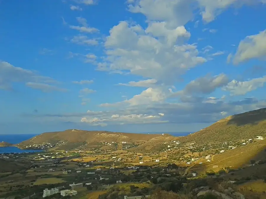
Best time to visit & climate
The most pleasant time to visit is Jan, Feb, Dec.
| Jan | Feb | Mar | Apr | May | Jun | Jul | Aug | Sep | Oct | Nov | Dec | |
|---|---|---|---|---|---|---|---|---|---|---|---|---|
| Avg °C | 22 | 23 | 24 | 25 | 27 | 28 | 29 | 29 | 29 | 27 | 25 | 24 |
| Rain mm | 35 | 34 | 41 | 65 | 137 | 166 | 146 | 170 | 178 | 125 | 64 | 39 |
📋 Practical info
Geography
Facts
- At 5,957 km², Andros is larger than all other Bahamian islands combined.
- The Andros Barrier Reef extends for a total of 305 kilometers.
- The Tongue of the Ocean is a deep-sea trench reaching 1,800 meters.
- Andros contains the highest concentration of Blue Holes in the world.
- The island is split into three main sections by narrow tidal creeks.
- It is recognized as the premier global destination for bonefishing.
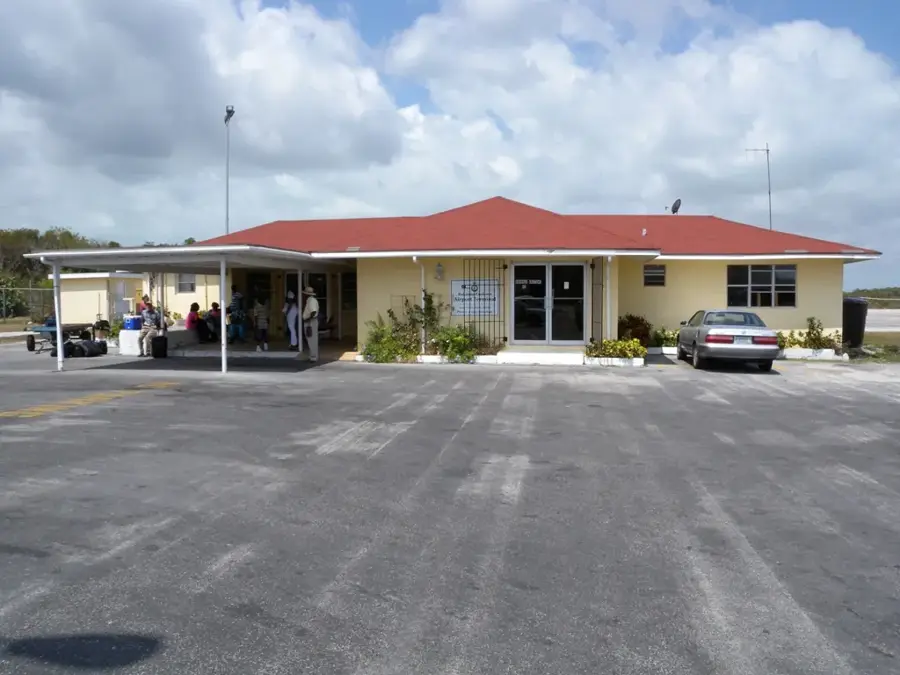
Explore nearby
Notable places around
Route planner — Car & Motorhome
Where do you start? We build the route here, with stops and country notes along the way.
© OpenStreetMap contributors · OpenRouteService
Sights nearby
Frequently asked questions
What is special about Andros?
What are 'Blue Holes'?
Can you go hiking there?
How developed is tourism on Andros?
What birds can be observed there?
Andros Island: where is it located?
Andros Island: when is the best time to visit?
Andros Island: why is it worth visiting?

Nearby cities


History & landmarks

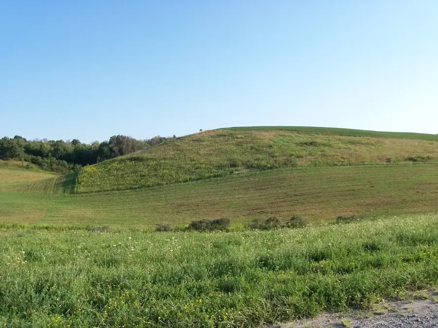
Nature

More places