Plizio Visual Lab
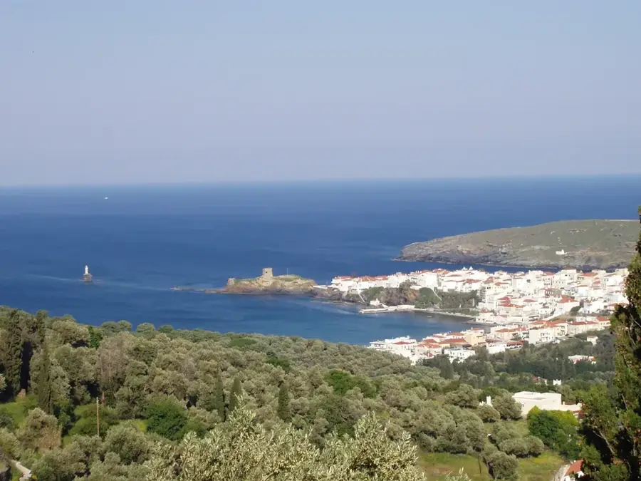
Andros's West Coast Flats
Weather…
Water temperature…
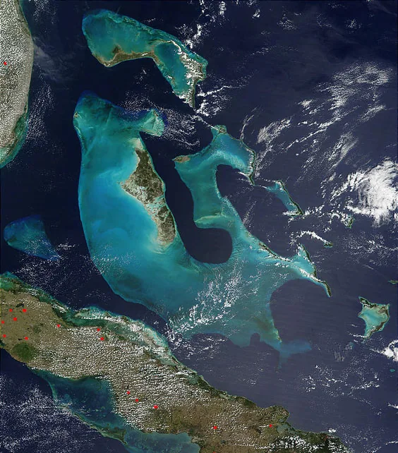
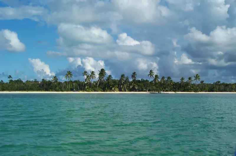
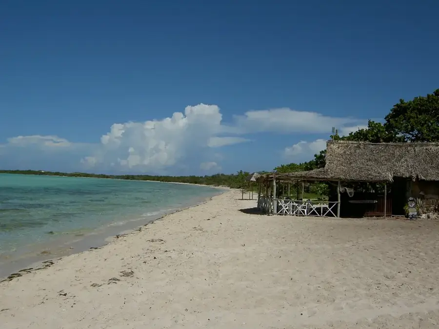
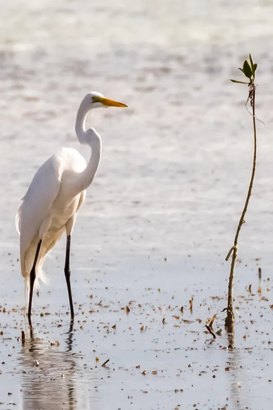
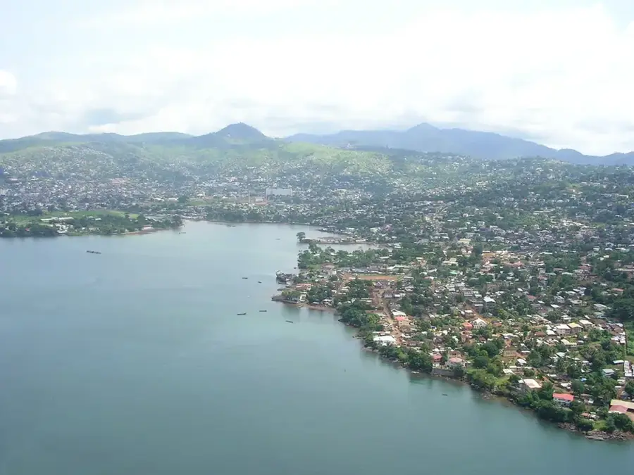
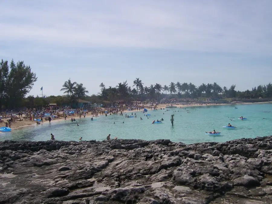
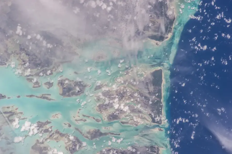
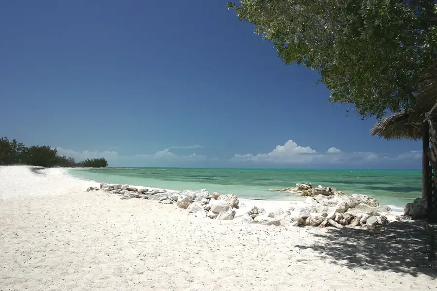
The west coast flats of Andros, often referred to as 'The Mud,' form a vast, shallow marine relief stretching across hundreds of square kilometers along the largest island of the Bahamas. This area is characterized by extremely fine carbonate sediments that give the water a milky appearance when disturbed, creating a unique geological environment. The relief is ecologically invaluable as it serves as a primary nursery for shrimp, fish, and the endangered sawfish. Due to its extreme shallowness, often only a few centimeters deep, the area is inaccessible to most boats, which has contributed to the preservation of its original wilderness. Historically, the west coast of Andros was a retreat for pirates and later for sponge divers who utilized the remote bays. The mangrove fringes along the coast form a complex boundary between land and sea, protecting the hinterland from storm surges. Geographically, this relief is part of the Great Bahama Bank and showcases the dynamic processes of sedimentation in tropical carbonate systems. Today, 'The Mud' is an important research area for hydrologists and marine biologists studying the interactions between tidal currents and sediment transport. The silence and vastness of this relief make it one of the last true wilderness areas in the Caribbean.
- Location: Bahamas
- Top sights: Sapodilla Creek · Hawk Creek (Bahamas)
- Nearby: Nicolls Town (35 km)
Best time to visit & climate
The most pleasant time to visit is Jan–Mar.
| Jan | Feb | Mar | Apr | May | Jun | Jul | Aug | Sep | Oct | Nov | Dec | |
|---|---|---|---|---|---|---|---|---|---|---|---|---|
| Avg °C | 22 | 23 | 24 | 25 | 27 | 28 | 29 | 29 | 29 | 28 | 25 | 24 |
| Rain mm | 34 | 33 | 41 | 68 | 136 | 175 | 157 | 174 | 183 | 123 | 64 | 39 |
📋 Practical info
Geography
Facts
- Andros is the largest island in the Bahamas, covering 6,000 square kilometers.
- Water depths in 'The Mud' often range between 0.5 and 2 meters.
- The area is a critical habitat for the endangered sawfish.
- Carbonate sediments are primarily created here through biological processes.
- The west coast is almost entirely uninhabited and undeveloped.
- The relief is part of the extensive Great Bahama Bank.
Explore nearby
Notable places around
Route planner — Car & Motorhome
Where do you start? We build the route here, with stops and country notes along the way.
© OpenStreetMap contributors · OpenRouteService
Frequently asked questions
What are the West Coast Flats?
Can you navigate there without a guide?
What fish species are found here?
How is the accessibility?
Are there accommodations nearby?
Andros's West Coast Flats: where is it located?
Andros's West Coast Flats: what is there to see?
Andros's West Coast Flats: when is the best time to visit?
Andros's West Coast Flats: why is it worth visiting?

Nearby cities


History & landmarks

Nature
More places