Plizio Visual Lab
Virei
ℹ️Practical info — Virei
▾
🌤 Weather — 5 days
📍 Nearby
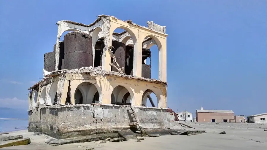
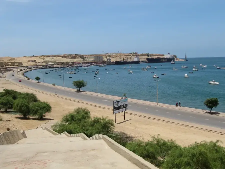
Sights nearby
💡 Tips
- Visit the Tchitundo-Hulo rock paintings early in the morning to avoid the intense desert heat.
- The region is home to the Mucubal people; always ask for permission before taking photographs.
- 4x4 vehicles are highly recommended as roads outside the main settlement are mostly dirt tracks.
- Bring ample water and sun protection, as the climate in Namibe province is very arid.
🍽 Food
The pastoral culture means fresh local meat is a staple at village eateries.
A traditional corn or cassava porridge side dish served in local guesthouses.
Sometimes available from the coast (Namibe is not far), served grilled in town center spots.
🛍 Shopping · 🧘 Quiet spots
Look for local artisans selling handmade items near the central market.
Fresh fruits and vegetables brought in from surrounding oases, available at the street market.
Drive a few kilometers out of town to experience the profound silence of the arid plains.
The ancient rock art site features a peaceful and historically profound atmosphere.
Water temperature…
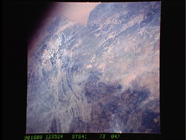
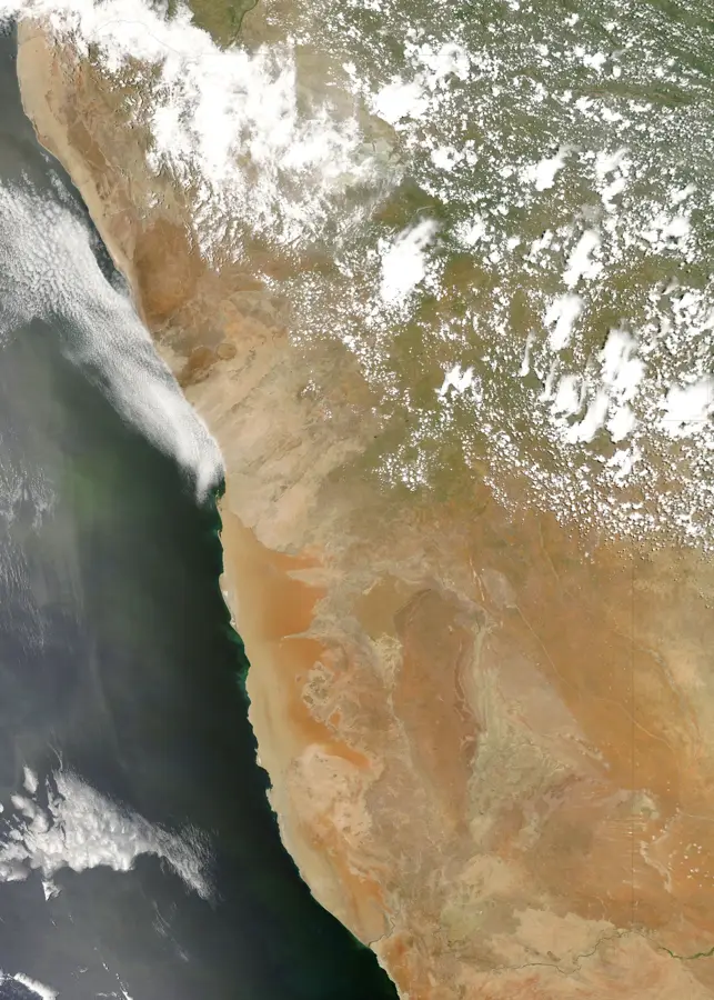
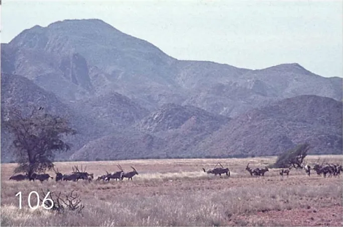
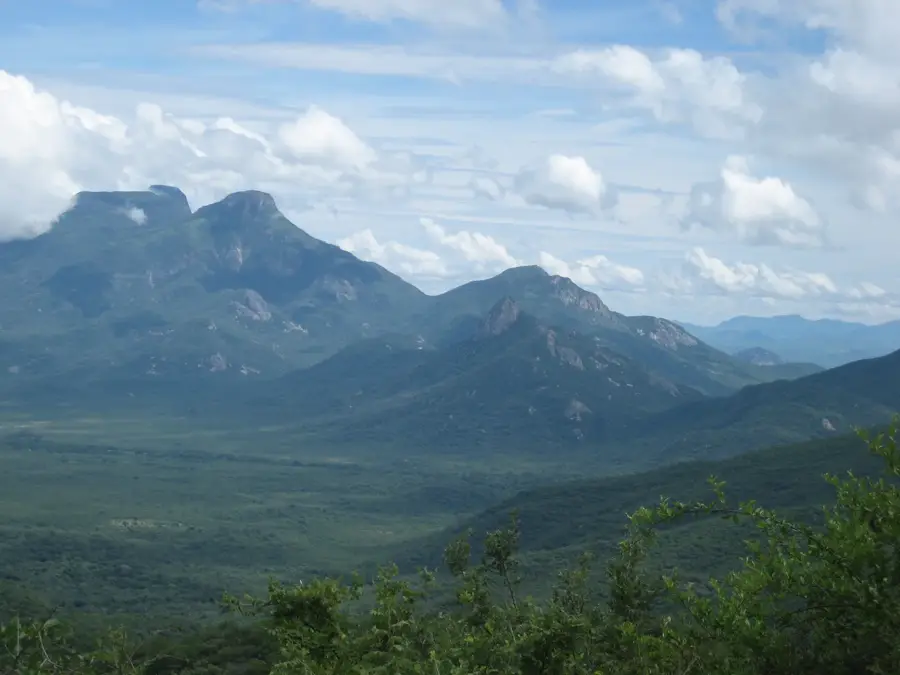
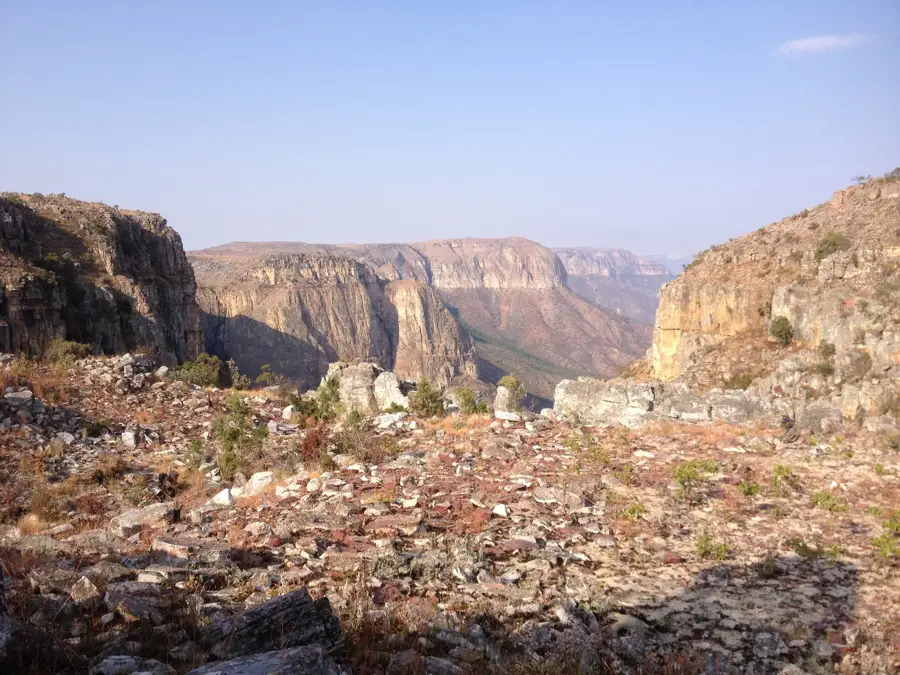
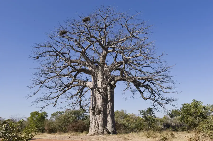
Virei is a remote town and municipality in the eastern part of Namibe Province, deeply connected to the cultural traditions of southern Angola's ethnic groups. Geographically, Virei is positioned in an arid transition zone between the Namib Desert and the interior, defined by wide plains and prominent inselbergs. The region is especially famous for its prehistoric rock art, such as the Tchitundo-Hulo site, which is among the most significant archaeological locations in the country. The local population consists primarily of semi-nomadic pastoralists, including the Mucubal people, whose lifestyle is closely adapted to the extreme environmental conditions. Water resources in Virei are scarce, centered around seasonal riverbeds and man-made wells. The town functions as the administrative hub for a vast municipality that ranks as one of the least densely populated areas in Angola.
- Location: Angola
- Nearby: Serra da Leba (77 km)
- Population: ~42.607 (2026)
Best time to visit & climate
The most pleasant time to visit is Jun–Aug.
| Jan | Feb | Mar | Apr | May | Jun | Jul | Aug | Sep | Oct | Nov | Dec | |
|---|---|---|---|---|---|---|---|---|---|---|---|---|
| Avg °C | 25 | 25 | 25 | 26 | 25 | 23 | 23 | 24 | 25 | 27 | 27 | 25 |
| Rain mm | 90 | 101 | 178 | 38 | 2 | 0 | 0 | 1 | 4 | 15 | 83 | 68 |
Geography
Facts
- The prehistoric rock paintings of Tchitundo-Hulo are located in Virei.
- The climate in Virei is extremely arid with high daytime temperatures.
- The region is predominantly inhabited by the Mucubal ethnic group.
- Virei covers a total area of over 15,000 square kilometers.
- Livestock herding is the sole essential economic activity in the area.
- Virei is situated roughly 130 kilometers east of the provincial capital, Namibe.
Explore nearby
Notable places around
Route planner — Car & Motorhome
Where do you start? We build the route here, with stops and country notes along the way.
© OpenStreetMap contributors · OpenRouteService
Frequently asked questions
How many days do you need for Virei?
When is the best time to visit Virei?
How do you get to Virei?
What food should you try in Virei?
Is Virei family-friendly?
Virei: where is it located?
Virei: when is the best time to visit?
Virei: why is it worth visiting?

Nearby cities
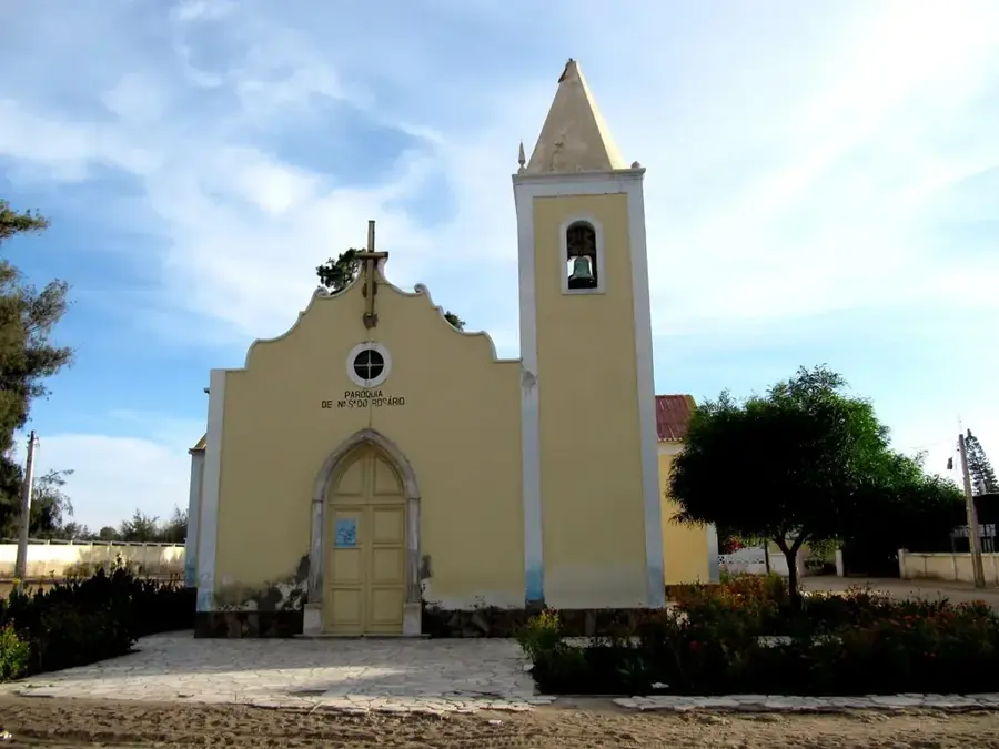
History & landmarks
More places