Plizio Visual Lab
Baía dos Tigres Ghost Town
Weather…
Water temperature…
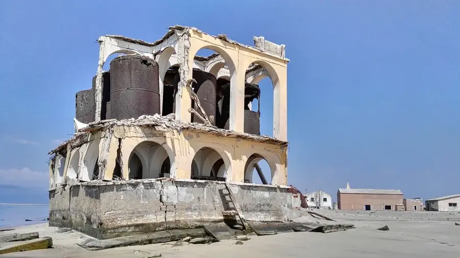
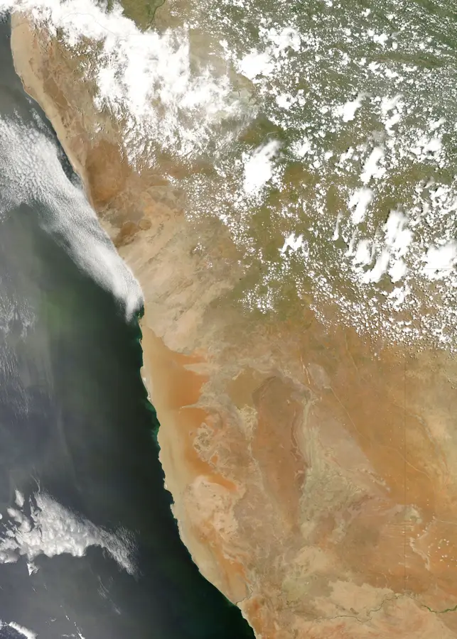
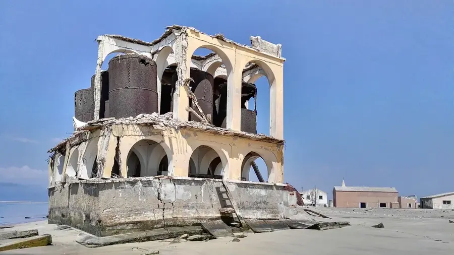
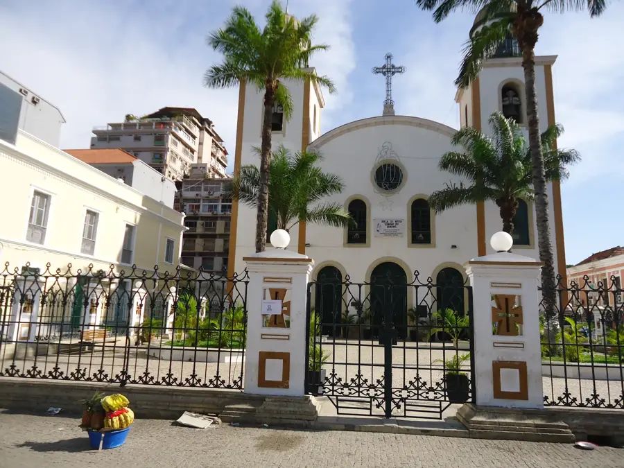
Baía dos Tigres is the largest ghost town in Angola, situated on a remote island in the Namibe Province. Originally a peninsula connected to the mainland, it was transformed into an island on March 14, 1962, when a massive storm breached the narrow sand spit, severing the land connection. Established in the 1860s by Portuguese fishermen from the Algarve, the settlement grew into a significant fishing hub despite its extremely arid environment. The town's survival depended entirely on water transported by sea or later via a pipeline from the Cunene River. Following Angolan independence in 1975, the town was abruptly abandoned, leaving behind a haunting collection of derelict colonial buildings, a church, and a school, which are slowly being reclaimed by the desert sands and the Atlantic winds. Today, it remains one of the most remote locations in Africa, serving as a sanctuary for Cape fur seals and various seabirds.
Explore on the map
How well do you know Angola?
Find cities, landscapes and regions in 10 varied challenges on the interactive map.
Your journey, your memory
A postcard from Baía dos Tigres Ghost Town
Turn your own photo into a personal postcard with a local stamp. Free and no sign-up required.
Create a postcard- Location: Angola
- Highlights: Fim das lagoas · Início da Zona de Risco · Perigo Vala
- Nearby: Iona National Park (54 km)
Best time to visit & climate
The most pleasant time to visit is Jun, Jul, Oct.
| Jan | Feb | Mar | Apr | May | Jun | Jul | Aug | Sep | Oct | Nov | Dec | |
|---|---|---|---|---|---|---|---|---|---|---|---|---|
| Avg °C | 23 | 24 | 25 | 25 | 23 | 21 | 20 | 19 | 19 | 21 | 22 | 22 |
| Rain mm | 20 | 22 | 41 | 8 | 2 | 0 | 0 | 0 | 1 | 1 | 5 | 9 |
📋 Practical info
Geography
Facts
- Founded in the 1860s by fishermen from the Portuguese Algarve
- The peninsula became an island on March 14, 1962, due to a storm
- Abandoned in 1975 following the withdrawal of Portuguese settlers
- Water was historically supplied by an 80 km pipeline from the Cunene
- The island covers an area of approximately 98 square kilometers
- It is the largest island along the entire coast of Angola
Explore nearby
Notable places around
Route planner — Car & Motorhome
Where do you start? We build the route here, with stops and country notes along the way.
© OpenStreetMap contributors · OpenRouteService
Sights in the town Baía dos Tigres Ghost Town (3)
Sights nearby
Frequently asked questions
How much time should I plan for Baía dos Tigres?
When is the best time to go?
Is the place easy to reach?
Is it good for photography?
What can I combine it with nearby?
Baía dos Tigres Ghost Town: where is it located?
Baía dos Tigres Ghost Town: what is there to see?
Baía dos Tigres Ghost Town: when is the best time to visit?
Baía dos Tigres Ghost Town: why is it worth visiting?

Nearby cities
History & landmarks
More places