Plizio Visual Lab
Serra da Chela
Weather…
Water temperature…
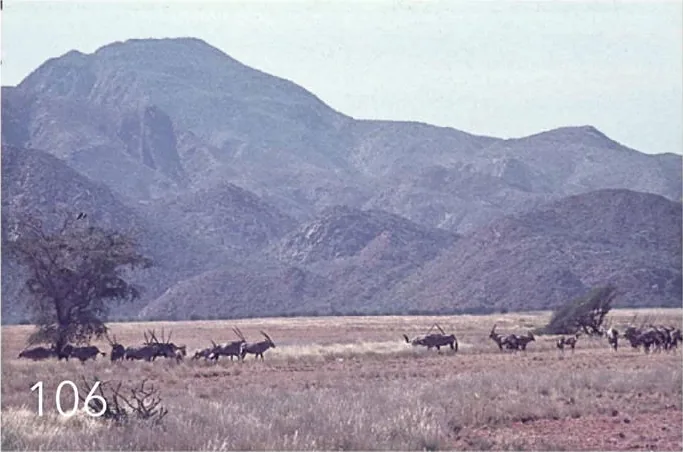
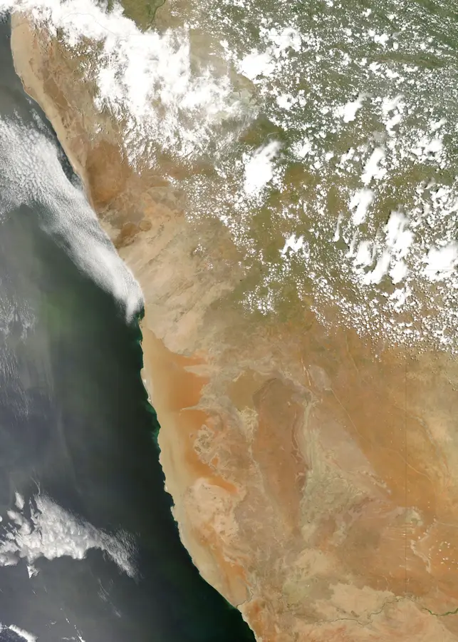
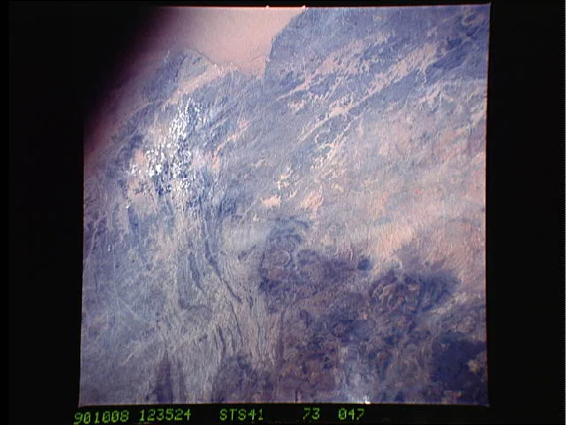
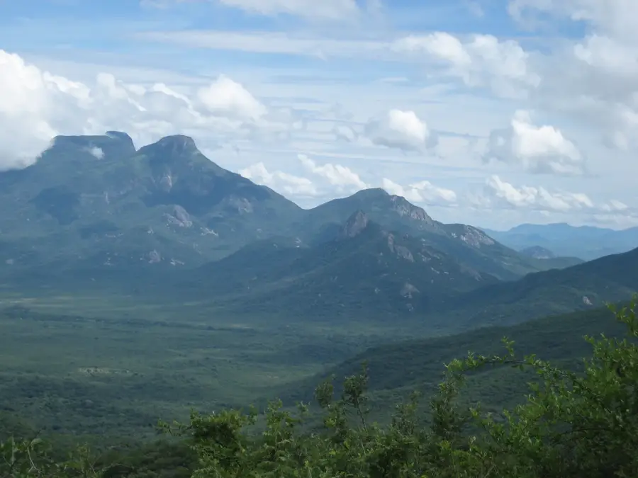
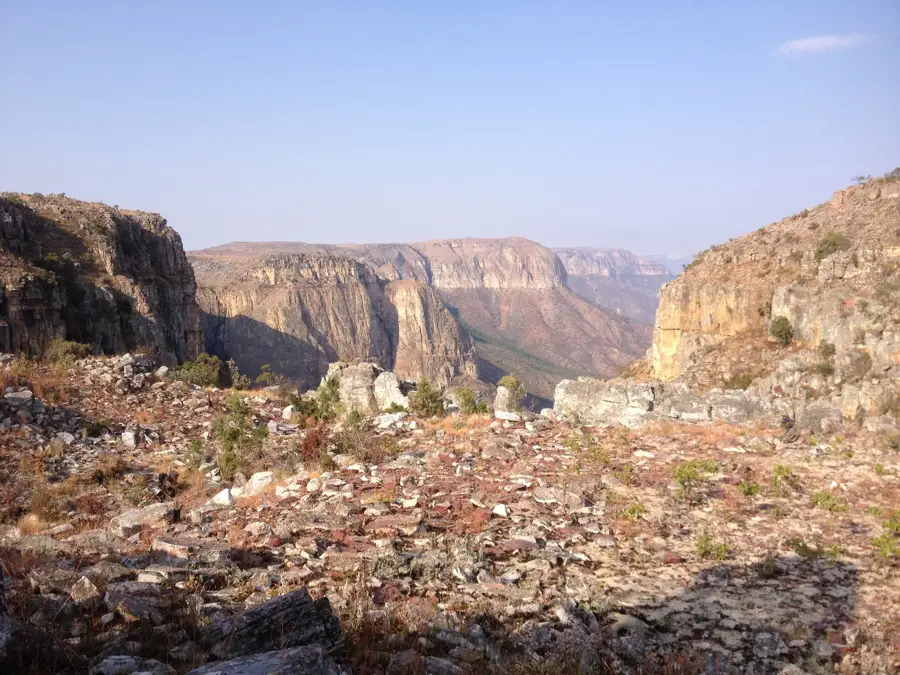
Serra da Chela is a prominent mountain range in southern Angola, primarily located in Huíla Province, forming a dramatic geological escarpment. This massif marks the steep transition from the Humpata Plateau to the lower coastal plains of the Namibe Desert. With altitudes reaching up to 2,300 meters, the range features an impressive landscape characterized by deep gorges and sheer cliffs, such as the renowned Tundavala Gap. The region hosts unique vegetation adapted to cooler temperatures and frequent mist, making it a significant center for floral biodiversity. Historically, Serra da Chela has been vital for the pastoral activities of local ethnic groups, while today it is a key destination for nature-based tourism. The complex rock formations provide a window into millions of years of tectonic uplift and geological evolution in Southern Africa.
- Location: Angola
- Nearby: Serra da Leba (31 km)
Best time to visit & climate
The most pleasant time to visit is May, Aug, Sep.
| Jan | Feb | Mar | Apr | May | Jun | Jul | Aug | Sep | Oct | Nov | Dec | |
|---|---|---|---|---|---|---|---|---|---|---|---|---|
| Avg °C | 21 | 21 | 21 | 21 | 19 | 17 | 18 | 20 | 23 | 24 | 23 | 22 |
| Rain mm | 131 | 137 | 207 | 49 | 6 | 0 | 0 | 1 | 5 | 38 | 166 | 120 |
📋 Practical info
Geography
Facts
- The highest points of the range reach approximately 2,300 meters.
- The geological structure consists of Proterozoic quartzite and granite.
- The Tundavala Gap provides a vertical drop of over 1,000 meters.
- The escarpment significantly influences local rainfall patterns.
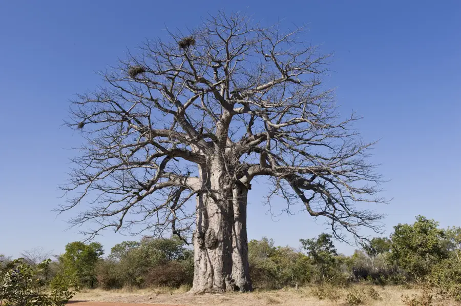
- It is a major habitat for various Protea and orchid species.
- Historically, the range acted as a natural defensive barrier for local tribes.
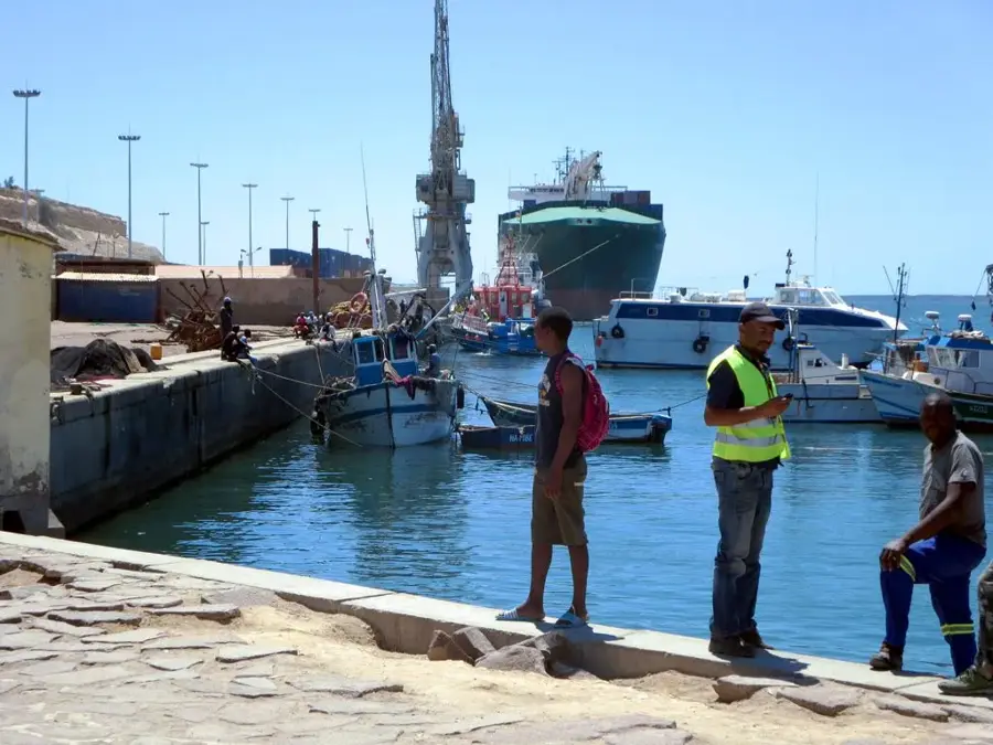
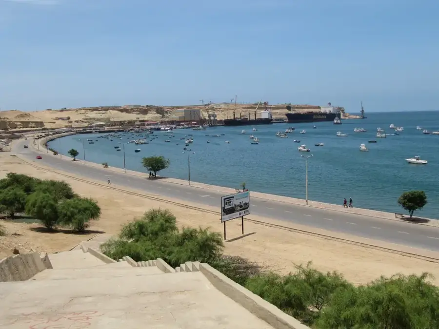
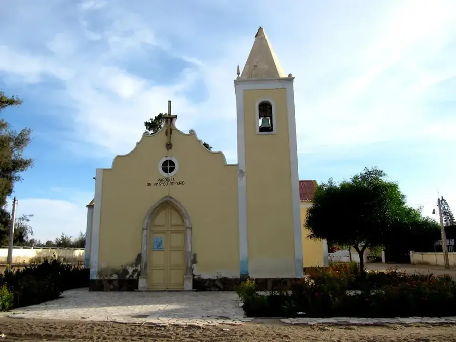
Explore nearby
Notable places around
Route planner — Car & Motorhome
Where do you start? We build the route here, with stops and country notes along the way.
© OpenStreetMap contributors · OpenRouteService
Sights nearby
Frequently asked questions
How difficult is driving through Serra da Chela?
What is the best time to travel Serra da Chela?
Do you need a 4x4?
Are there viewpoints?
What is Serra known for?
Serra da Chela: where is it located?
Serra da Chela: when is the best time to visit?
Serra da Chela: why is it worth visiting?

Nearby cities
History & landmarks
More places