Plizio Visual Lab
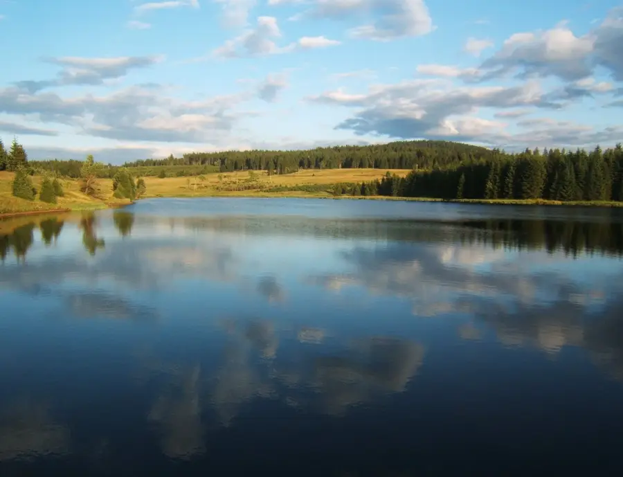
Erzgebirge (Kuzeydoğu Almanya 'Ore Mountains')
Hava durumu…
Su sıcaklığı…
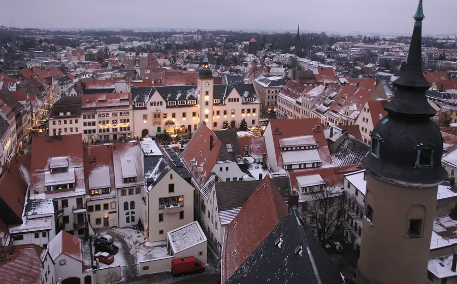
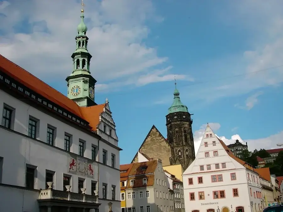
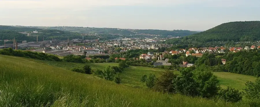
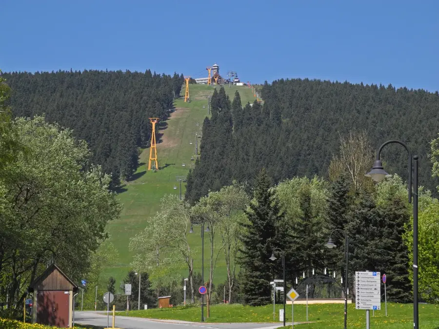
Erzgebirge, Sachsen ve Bohemya'da yer alan, sekiz yüzyılı aşkın bir süre boyunca madencilik tarafından şekillendirilmiş tarih dolu bir dağ silsilesidir. Bölge yaklaşık 150 kilometre boyunca uzanır ve Almanya ile Çekya arasındaki doğal sınırı oluşturur. 12. yüzyıldan itibaren burada Sachsen Elektörlüğü'nün ekonomik yükselişini sağlayan önemli miktarlarda gümüş, kalay, demir ve kobalt çıkarılmıştır. 2019 yılında, Erzgebirge/Krušnohoří madencilik bölgesi, benzersiz teknolojik ve kültürel anıtları nedeniyle UNESCO Dünya Mirası Listesi'ne alınmıştır. Endüstriyel tarihin yanı sıra, dağlar dünya çapında nussknacker (fındıkkıran) ve schwibbogen (kemer şamdan) gibi geleneksel Noel figürlerine yansıyan canlı ahşap oymacılığı sanatı ile tanınır. Fichtelberg, 1214,7 metre ile dağların Sachsen tarafındaki en yüksek zirvesidir. Bugün Erzgebirge, Orta Avrupa'daki yürüyüşçüler, bisikletçiler ve kış sporcuları için önemli bir dinlenme alanı olarak hizmet vermektedir.
Haritada keşfet
Almanya hakkında ne kadar bilgilisin?
Etkileşimli haritada 10 çeşitli zorlukta şehirleri, manzaraları ve bölgeleri bul.
Seyahatin, senin anın
Erzgebirge (Kuzeydoğu Almanya 'Ore Mountains')’den bir kartpostal
Kendi fotoğrafını yerel posta puluyla kişisel bir kartpostala çevir. Ücretsiz ve kayıt gerektirmez.
Kartpostal oluştur- Konum: Sachsen, Almanya
- Öne çıkanlar: Suppenmuseum · Fichtelberg · Vápenka
- Yakınlar: Oberwiesenthal (4 km)
En iyi ziyaret zamanı & iklim
En keyifli dönem: Haz–Ağu.
| Oca | Şub | Mar | Nis | May | Haz | Tem | Ağu | Eyl | Eki | Kas | Ara | |
|---|---|---|---|---|---|---|---|---|---|---|---|---|
| Ort. °C | -3 | -2 | 2 | 7 | 12 | 16 | 18 | 18 | 13 | 8 | 3 | -1 |
| Yağmur mm | 58 | 41 | 48 | 40 | 69 | 75 | 84 | 78 | 62 | 53 | 57 | 58 |
📋 Pratik bilgiler
Coğrafya
Gerçekler
- 2019'dan beri UNESCO Dünya Mirası'dır.
- Sachsen'in en yüksek dağı: Fichtelberg (1214 m).
- Yaklaşık 150 km toplam uzunluğa sahiptir.
- 12. yüzyıldan beri madencilik geleneği vardır.
- Alman ahşap oymacılığı sanatının merkezidir.
- Çekya ile doğal sınırı oluşturur.
Yakınları keşfet
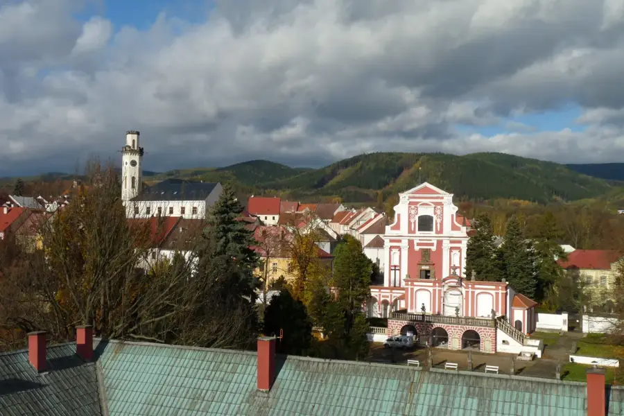
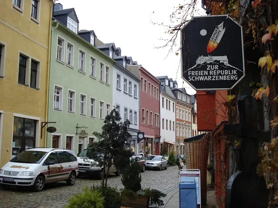
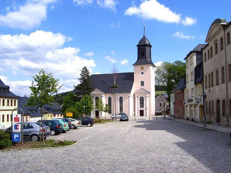
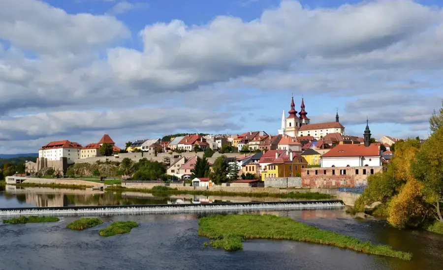
Çevredeki dikkat çekici yerler
Rota planlayıcı — Araba & Karavan
Nereden başlıyorsunuz? Burada rota oluşturuyoruz, yol boyunca duraklar ve ülke notları ile.
© OpenStreetMap contributors · OpenRouteService
Kasabadaki görülecek yerler Erzgebirge (Kuzeydoğu Almanya 'Ore Mountains') (5)
Çevredeki gezilecek yerler
Sıkça sorulan sorular
Neden Erzgebirge UNESCO Dünya Mirası sitesidir?
Erzgebirge'deki en yüksek dağ hangisidir?
Bölgede tipik ahşap el sanatları nelerdir?
Erzgebirge'de kayak yapılır mı?
Tarihi buharlı trenler var mı?
Erzgebirge (Kuzeydoğu Almanya 'Ore Mountains'): nerede yer alıyor?
Erzgebirge (Kuzeydoğu Almanya 'Ore Mountains'): gezilecek yerler neler?
Erzgebirge (Kuzeydoğu Almanya 'Ore Mountains'): en iyi ziyaret zamanı ne zaman?
Erzgebirge (Kuzeydoğu Almanya 'Ore Mountains'): neden ziyaret edilmeye değer?

Yakındaki şehirler