Plizio Visual Lab
Barotse Floodplain
Weather…
Water temperature…
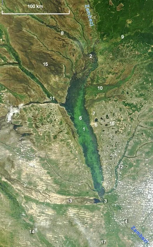
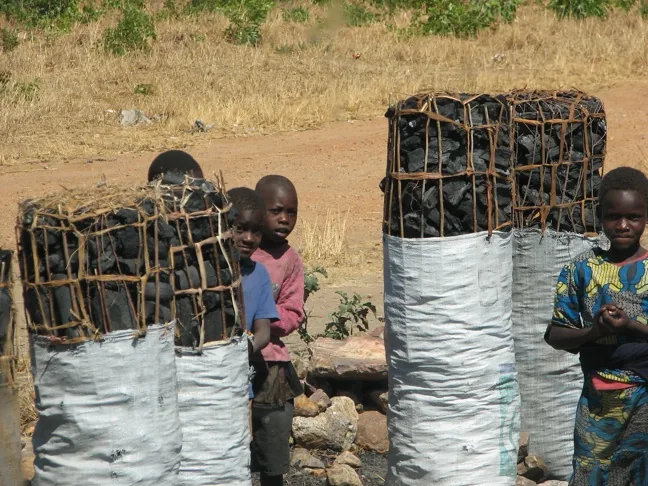
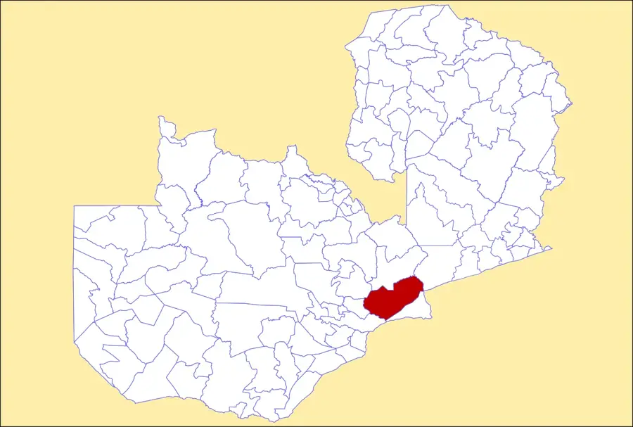
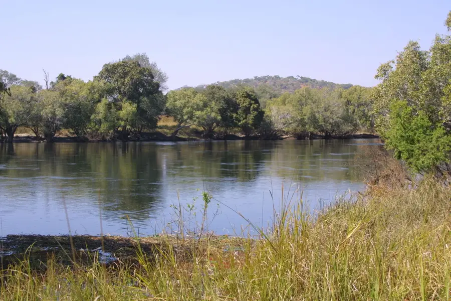
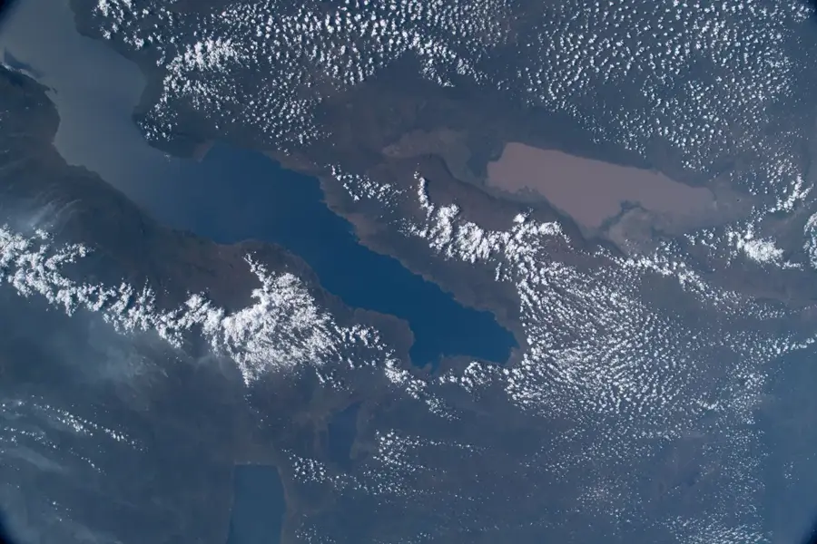
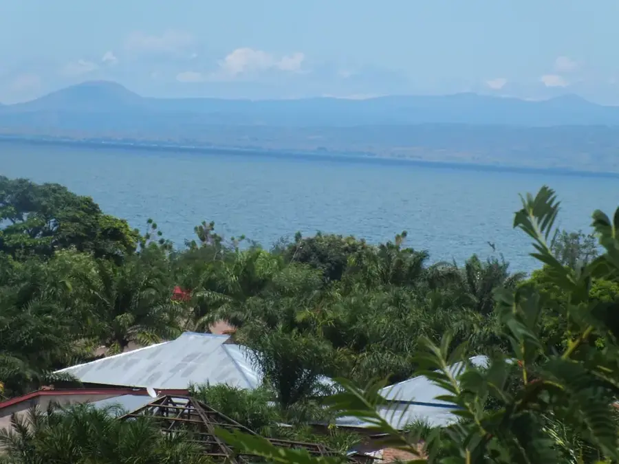
The Barotse Floodplain in western Zambia is one of Africa's most significant wetlands, spanning approximately 7,500 square kilometres along the upper Zambezi River. This vast, bowl-shaped landscape undergoes dramatic seasonal transformations, with annual floods occurring between March and June that define the socio-economic life of the Lozi people. The flooding necessitates the Kuomboka ceremony, a centuries-old tradition where the Litunga, the Lozi king, moves from the submerged capital of Lealui to the higher ground of Limulunga. Geologically, the plain is characterized by deep Kalahari sands that act as a massive sponge, regulating the flow of the Zambezi throughout the year. The nutrient-rich silt left behind by receding waters supports extensive cattle grazing and traditional agriculture. As a designated Ramsar site, the floodplain is a critical habitat for numerous migratory bird species and sustains one of the region's most productive freshwater fisheries.
- Location: Zambia
- Nearby: Lukulu (70 km)
Best time to visit & climate
The most pleasant time to visit is May, Jun, Aug.
| Jan | Feb | Mar | Apr | May | Jun | Jul | Aug | Sep | Oct | Nov | Dec | |
|---|---|---|---|---|---|---|---|---|---|---|---|---|
| Avg °C | 23 | 23 | 23 | 22 | 20 | 19 | 19 | 22 | 26 | 29 | 27 | 24 |
| Rain mm | 217 | 164 | 140 | 32 | 2 | 0 | 0 | 1 | 2 | 20 | 113 | 216 |
📋 Practical info
Geography
Facts
- The floodplain covers an area of approximately 7,500 square kilometres.
- It was officially designated as a Ramsar site in 1991.
- Zambezi water levels can rise by 3 to 5 metres during peak flooding.
- The Kuomboka ceremony takes place annually in March or April.
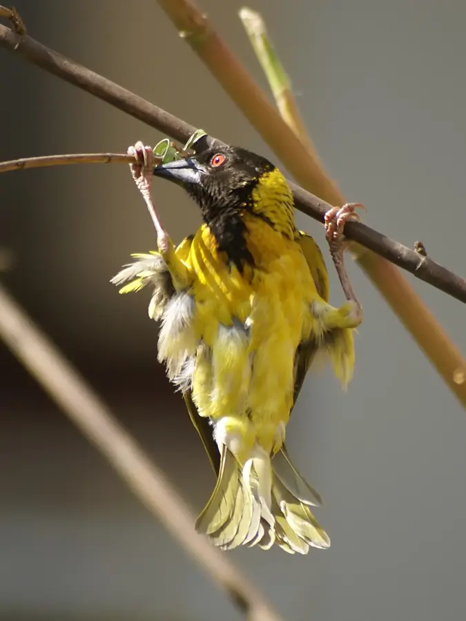
- Scientists have documented over 80 different species of fish in the waters.
- The town of Mongu is located on the edge of the plain at 1,050 metres elevation.
Explore nearby
Notable places around
Route planner — Car & Motorhome
Where do you start? We build the route here, with stops and country notes along the way.
© OpenStreetMap contributors · OpenRouteService
Sights nearby
Frequently asked questions
What is special about the Barotse Floodplain?
Can one travel during the flood?
When does the Kuomboka Festival take place?
Where can I find accommodation?
Is it a photo spot?
Barotse Floodplain: where is it located?
Barotse Floodplain: when is the best time to visit?
Barotse Floodplain: why is it worth visiting?

Nearby cities
History & landmarks
Nature
More places