Plizio Visual Lab
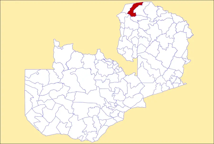
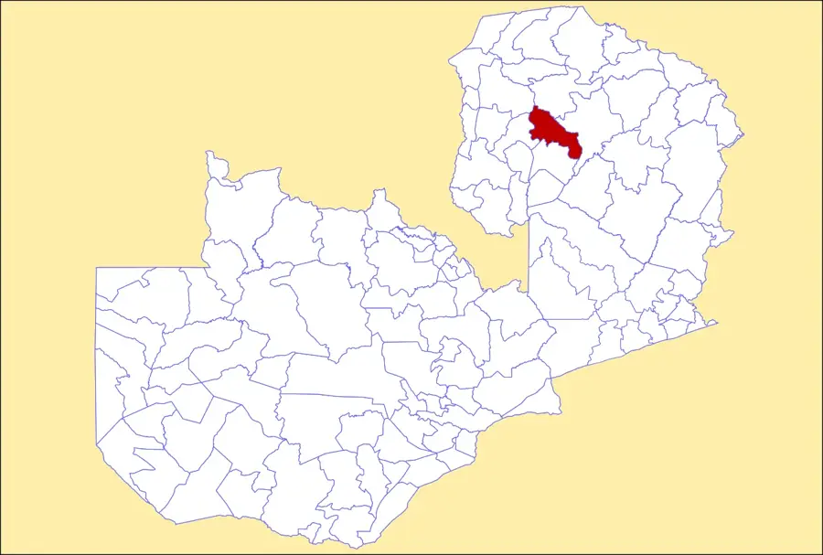
Luangwa Escarpment
Weather…
Water temperature…
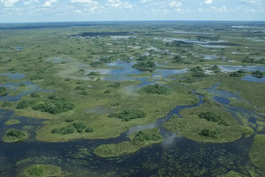
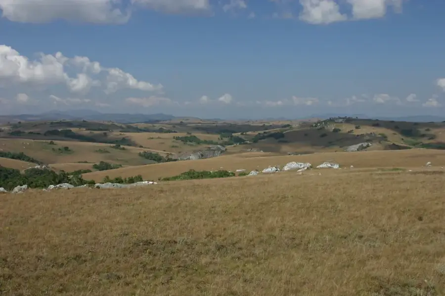
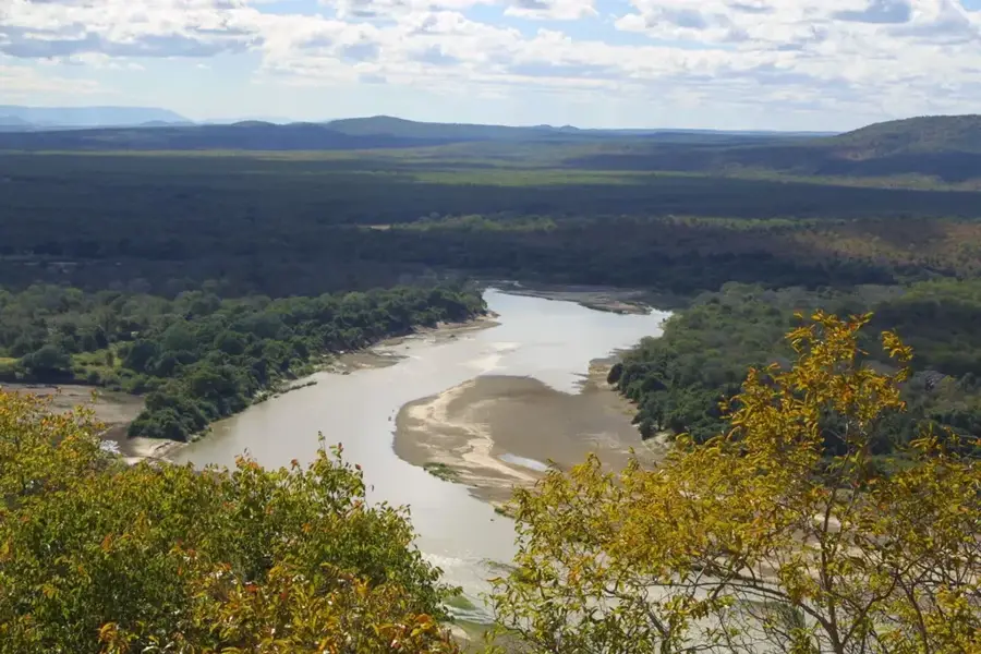
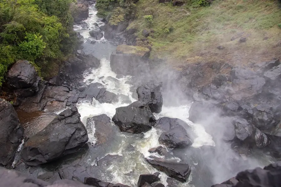
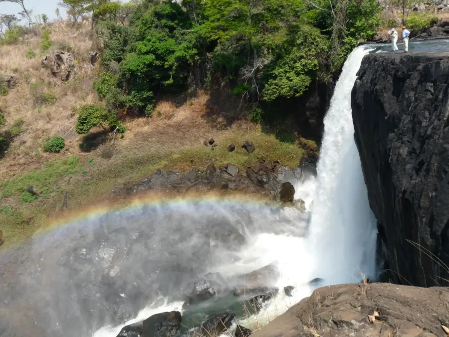
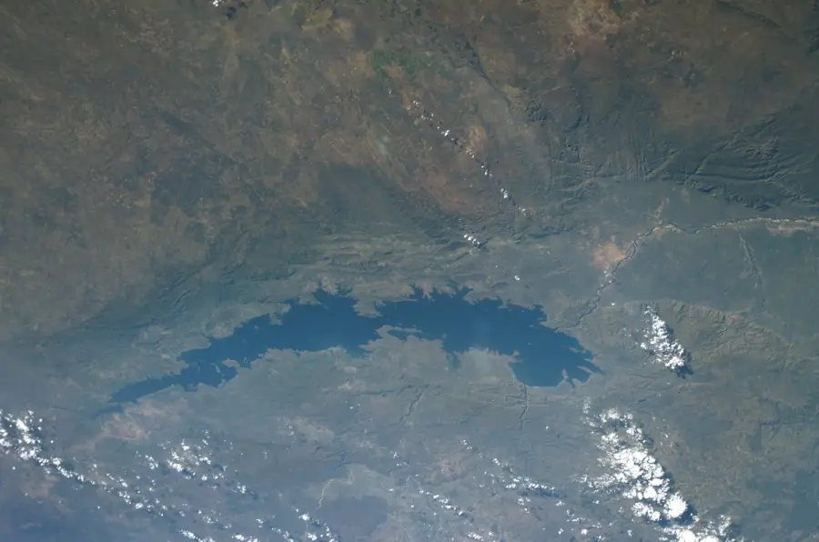
The Luangwa Escarpment forms the western boundary of the Luangwa Rift Valley and is part of the Muchinga Mountain range in eastern Zambia. This impressive geological formation features a vertical drop of up to 1,000 metres, separating the central high plateau from the valley floor. The escarpment consists predominantly of hard, erosion-resistant rocks such as granite and gneiss, uplifted by tectonic forces over millions of years. The steep slopes are densely covered with Miombo woodlands and host a variety of wildlife that migrates between different elevations. Numerous streams and rivers plunge down the escarpment to feed the Luangwa River, which is crucial for maintaining the ecosystem of South Luangwa National Park. The Luangwa Escarpment features spectacular vistas and is one of Southern Africa's most prominent topographical barriers, having influenced both the climate and settlement patterns of the region.
- Location: Zambia
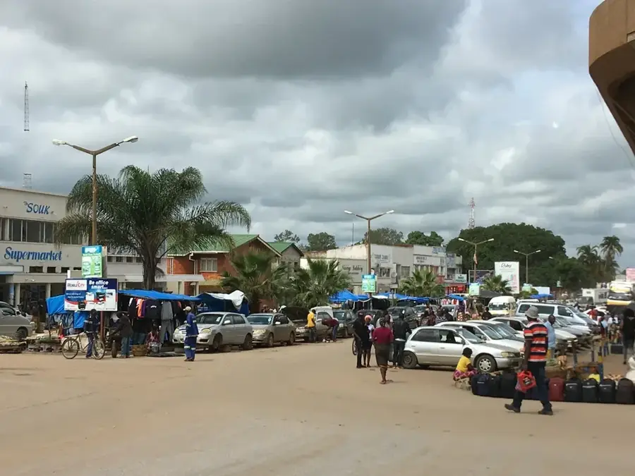
- Nearby: Petauke (30 km)
Best time to visit & climate
The most pleasant time to visit is May–Jul.
| Jan | Feb | Mar | Apr | May | Jun | Jul | Aug | Sep | Oct | Nov | Dec | |
|---|---|---|---|---|---|---|---|---|---|---|---|---|
| Avg °C | 24 | 24 | 24 | 23 | 22 | 20 | 20 | 23 | 26 | 29 | 29 | 25 |
| Rain mm | 233 | 183 | 113 | 23 | 2 | 1 | 1 | 1 | 1 | 9 | 61 | 220 |
📋 Practical info
Geography
Facts
- The escarpment marks a vertical drop of approx. 1,000 metres to the valley floor.
- Geologically, it is part of the Muchinga Range stretching for hundreds of kilometres.
- The rocks predominantly consist of Precambrian gneiss and granite.
- The escarpment acts as a climatic barrier for moist air masses from the east.
- Numerous tributaries of the Luangwa River originate along this ridge.
- South Luangwa National Park is situated directly east of the escarpment.
Explore nearby
Notable places around
Route planner — Car & Motorhome
Where do you start? We build the route here, with stops and country notes along the way.
© OpenStreetMap contributors · OpenRouteService
Sights nearby
Frequently asked questions
How demanding are the hikes here?
Is there a risk of slipping at Luangwa-Steilabfall?
Are there good photo spots?
Can one explore the area without a guide?
Is equipment available for campers?
Luangwa Escarpment: where is it located?
Luangwa Escarpment: when is the best time to visit?
Luangwa Escarpment: why is it worth visiting?

Nearby cities
History & landmarks
Nature
More places