Plizio Visual Lab
Katete
ℹ️Practical info — Katete
▾
🌤 Weather — 5 days
📍 Nearby
Sights nearby
💡 Tips
- Stop by the Tikondane Community Centre for local information and cultural insights.
- Use Katete as a strategic supply stop before heading towards South Luangwa National Park.
- Hire a bicycle to explore the town and surrounding villages easily.
- Bring sufficient cash in Zambian Kwacha, as ATM availability can be unreliable.
🍽 Food
A traditional maize porridge served with meat or veg in local guesthouses.
Freshly roasted peanuts, a popular snack sold by roadside vendors.
Slow-cooked Zambian chicken stew, best enjoyed in the small eateries near the market.
🛍 Shopping · 🧘 Quiet spots
Find locally made crafts and textiles where proceeds support the community.
A lively place to buy colorful chitenge fabrics and fresh produce.
A peaceful spot to relax or read within the community center grounds.
Take a walk towards the hills for a quiet sunset view.
Water temperature…
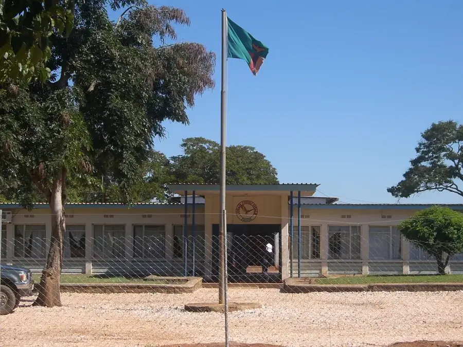
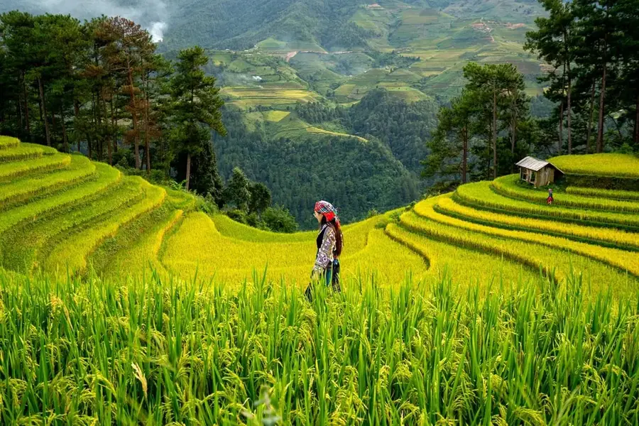
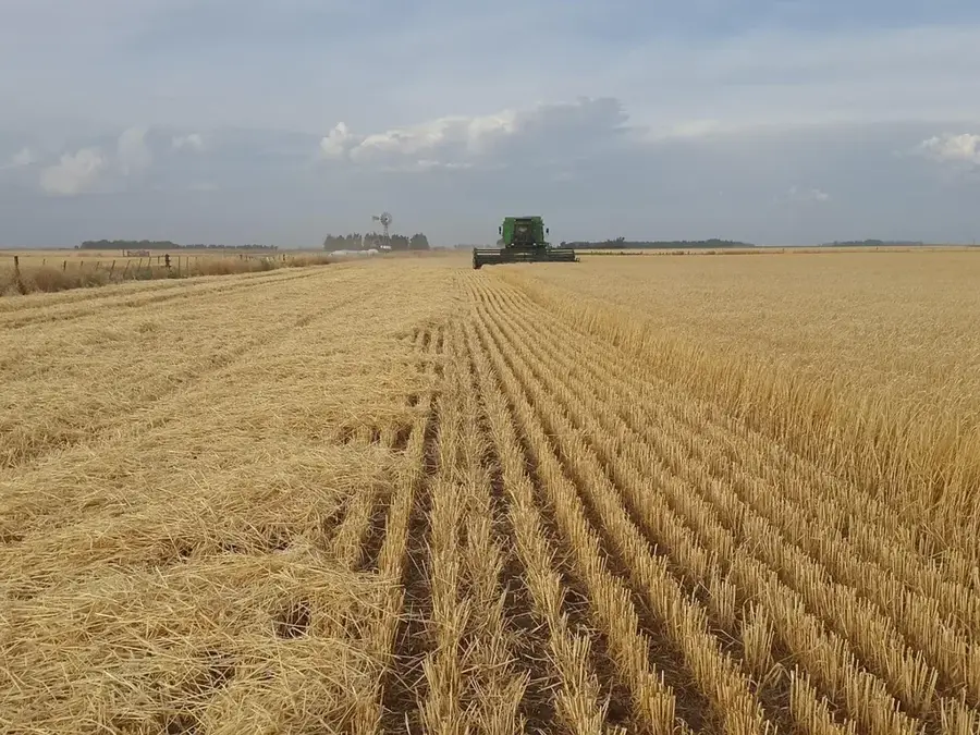
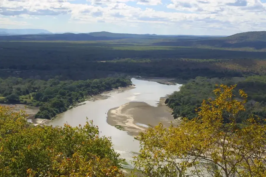
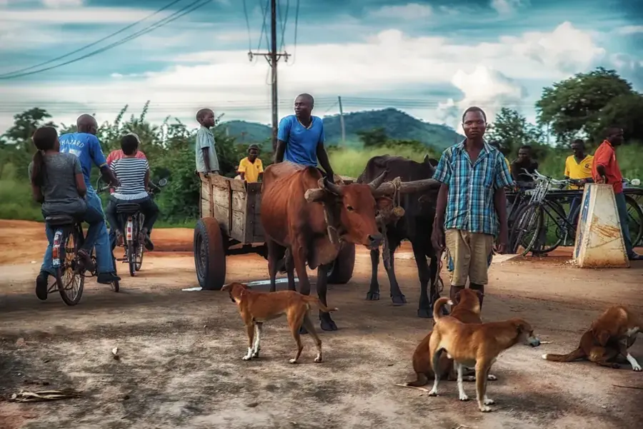
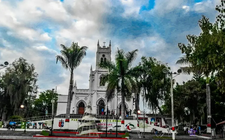
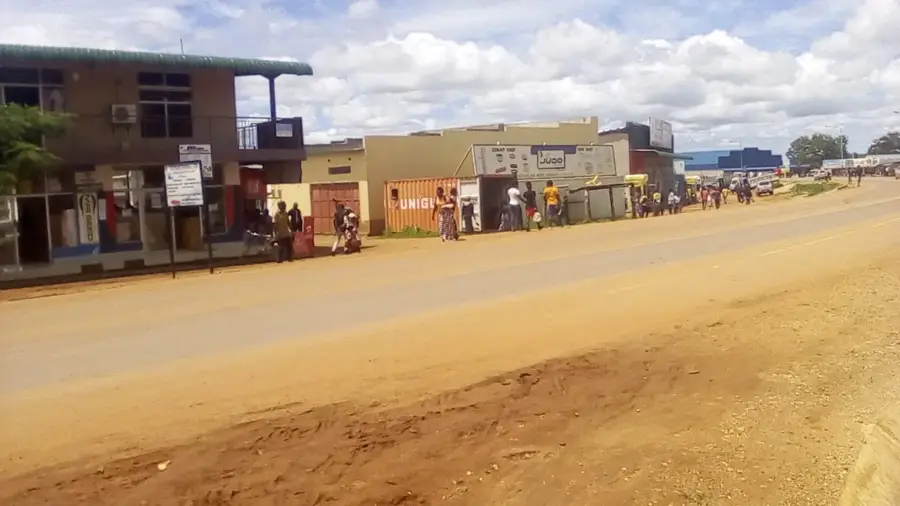
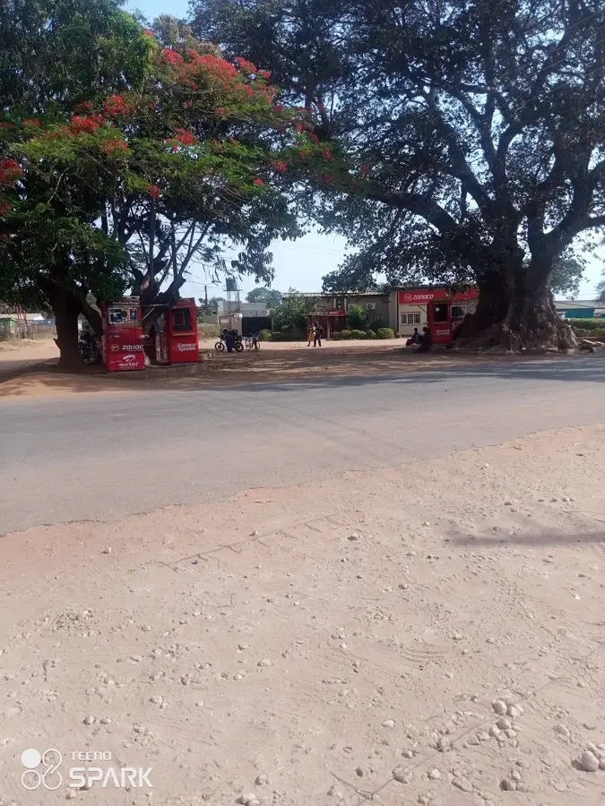
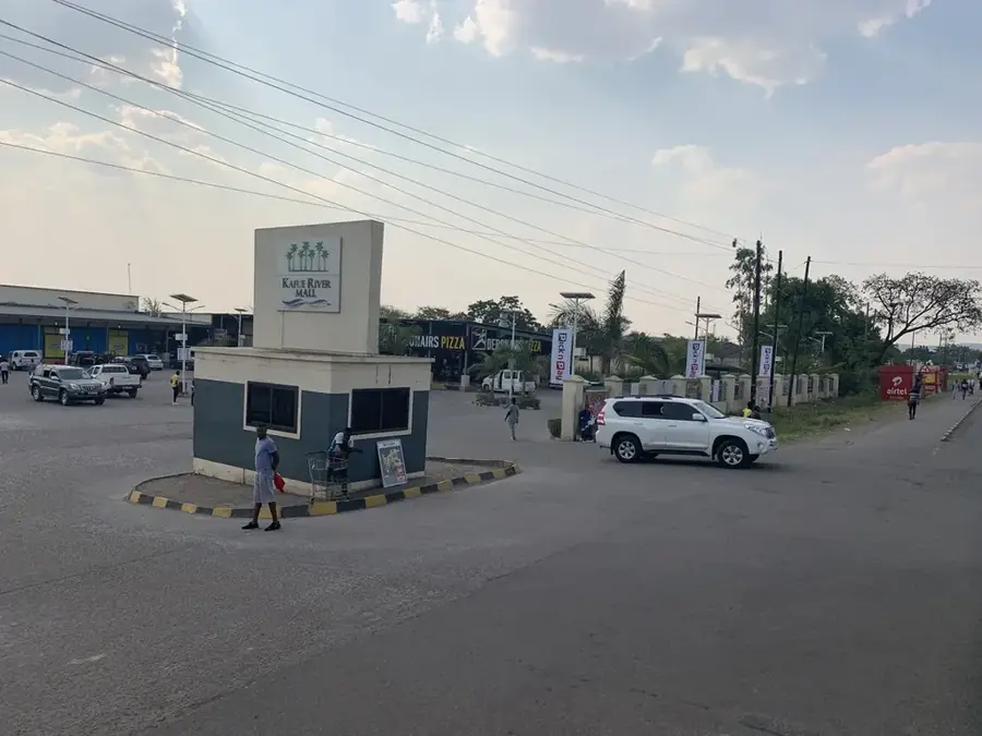
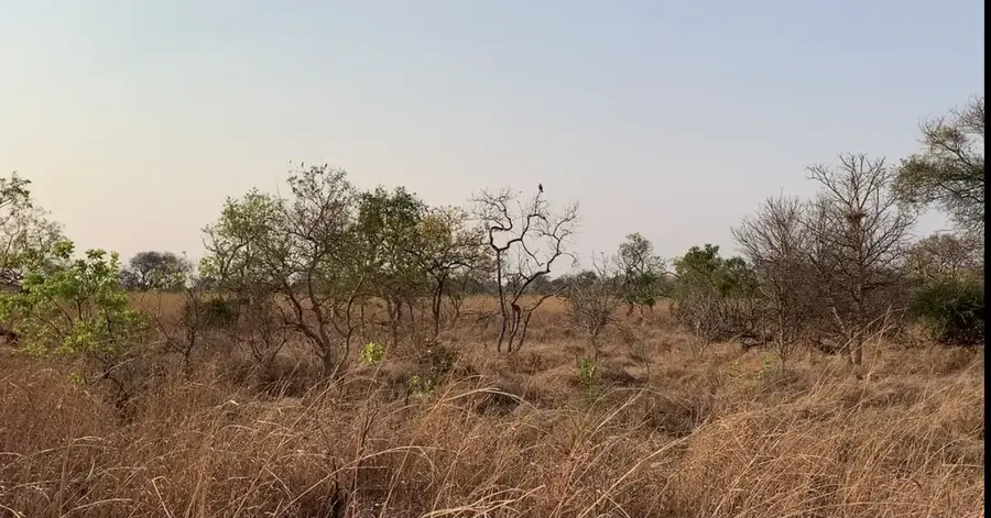
Katete is situated in the Eastern Province of Zambia and functions as the administrative headquarters of its namesake district. The town occupies a highly strategic position at the road junction where the Great East Road intersects with the route leading to the Mozambique border, making it a pivotal trade hub. Geographically, the area is defined by distinctive granite outcrops and hill ranges that rise prominently from the surrounding savanna landscape. A core component of the local infrastructure is the St. Francis Hospital, which has maintained significant regional importance for medical services for several decades. The local economy relies heavily on agricultural activities, with the cultivation of maize, groundnuts, tobacco, and sunflowers, as well as livestock farming, being the dominant sectors. Culturally, Katete is a major center for the Chewa people, and the renowned annual Kulamba traditional ceremony is celebrated in the nearby vicinity.
- Location: Zambia
- Nearby: Chipata (76 km)
- Population: ~45.402 (2024)
Best time to visit & climate
The most pleasant time to visit is Apr, May, Aug.
| Jan | Feb | Mar | Apr | May | Jun | Jul | Aug | Sep | Oct | Nov | Dec | |
|---|---|---|---|---|---|---|---|---|---|---|---|---|
| Avg °C | 23 | 23 | 23 | 22 | 20 | 18 | 18 | 21 | 25 | 27 | 27 | 24 |
| Rain mm | 236 | 190 | 121 | 27 | 3 | 1 | 1 | 1 | 2 | 9 | 65 | 228 |
Geography
Facts
- Katete is located approximately 480 kilometers east of the Zambian capital, Lusaka.
- The town sits at an average elevation of about 1,060 meters above sea level.
- St. Francis Hospital was established in 1948 by the Anglican Diocese.
- The region is a key cotton-producing area within the Eastern Province.
- Katete District shares a direct border with Mozambique to the south.
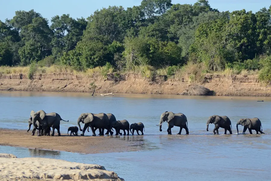
- The town serves as a gateway to South Luangwa National Park for eastern travelers.
Explore nearby
Notable places around
Route planner — Car & Motorhome
Where do you start? We build the route here, with stops and country notes along the way.
© OpenStreetMap contributors · OpenRouteService
Frequently asked questions
How long for Katete?
When to visit?
How to get there?
Food?
Family-friendly?
Katete: where is it located?
Katete: when is the best time to visit?
Katete: why is it worth visiting?

Nearby cities

History & landmarks
Nature
More places