Plizio Visual Lab
Mount Adelung
Weather…
Water temperature…
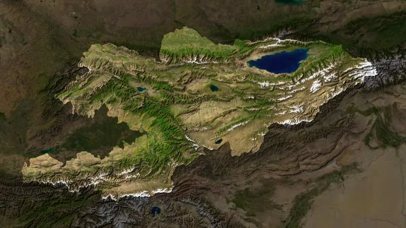
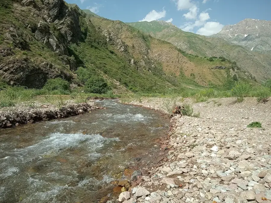
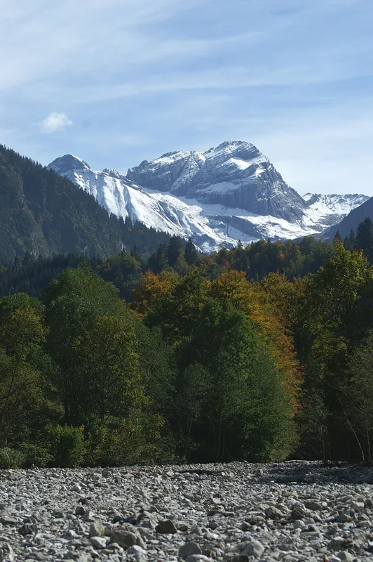
Mount Adelung, standing at 4,301 meters, is one of the highest and most imposing peaks in the Pskem Range, a branch of the Western Tian Shan in Uzbekistan. It is located in the far northeastern corner of the Tashkent Region, marking a territory of great geographical significance and natural wilderness. The mountain is named after the German geographer and linguist Johann Christoph Adelung, reflecting the region's historical scientific connections. Due to its remoteness and challenging terrain, Mount Adelung is climbed less frequently than nearby Chimgan, making it a sanctuary for rare species like the snow leopard. Its geological structure is defined by massive rock formations and deep gorges shaped by glacial movements during the ice age. For experienced mountaineers, the mountain presents a significant challenge while playing a crucial role in the region's hydrological system, as its meltwater feeds the tributaries of the Pskem River.
- Location: Uzbekistan
- Nearby: Angren (54 km)
Best time to visit & climate
The most pleasant time to visit is Jun–Aug.
| Jan | Feb | Mar | Apr | May | Jun | Jul | Aug | Sep | Oct | Nov | Dec | |
|---|---|---|---|---|---|---|---|---|---|---|---|---|
| Avg °C | -11 | -9 | -3 | 3 | 8 | 13 | 16 | 15 | 10 | 3 | -4 | -10 |
| Rain mm | 51 | 64 | 64 | 65 | 43 | 24 | 11 | 8 | 11 | 39 | 62 | 59 |
📋 Practical info
Geography
Facts
- Mount Adelung reaches an elevation of 4,301 meters.
- It is the highest peak in the Pskem Range.
- The mountain is located near the border with Kyrgyzstan.
- It was named after the scholar Johann Christoph Adelung.
- The region is a habitat for the endangered snow leopard.
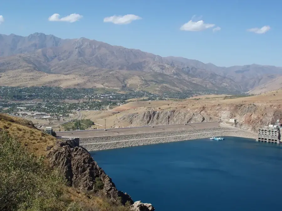
- Glaciers on the mountain feed the Pskem River, a tributary of Charvak.
Explore nearby
Notable places around
Route planner — Car & Motorhome
Where do you start? We build the route here, with stops and country notes along the way.
© OpenStreetMap contributors · OpenRouteService
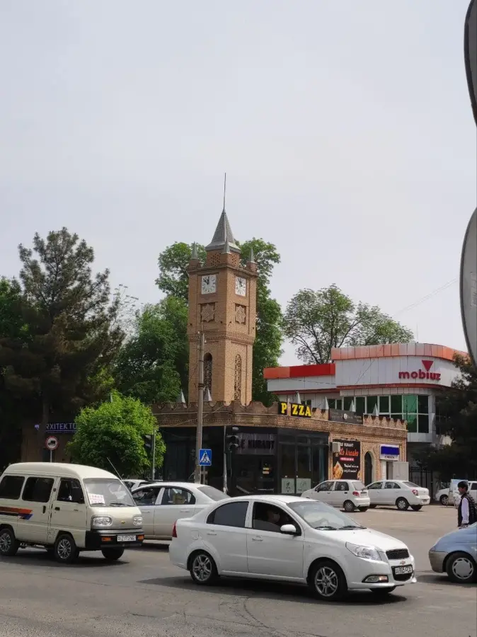
Sights in the town Mount Adelung (1)
Sights nearby
Frequently asked questions
How difficult is it to climb the Adelung-Gipfel?
What is the best time of year to climb?
Are there any mountain huts at Adelung-Gipfel?
Is a special permit required for the region?
What is the weather like on the peak?
Mount Adelung: where is it located?
Mount Adelung: when is the best time to visit?
Mount Adelung: why is it worth visiting?

Nearby cities
Nature
More places