Plizio Visual Lab
Zarafshan Range
Weather…
Water temperature…
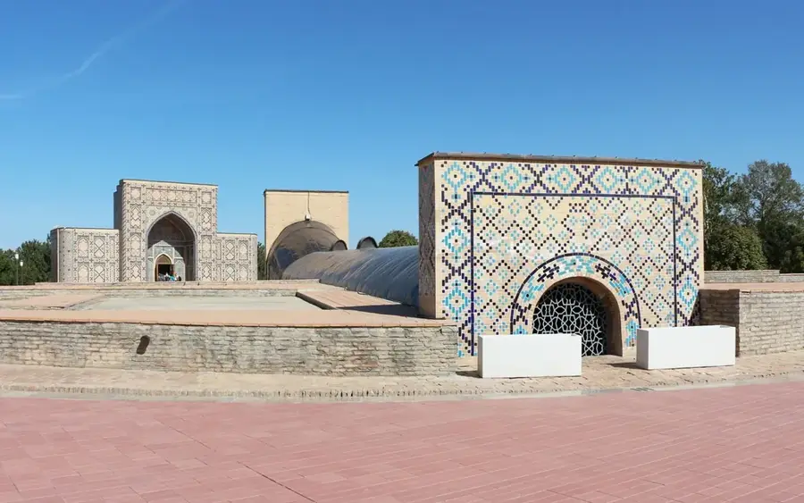
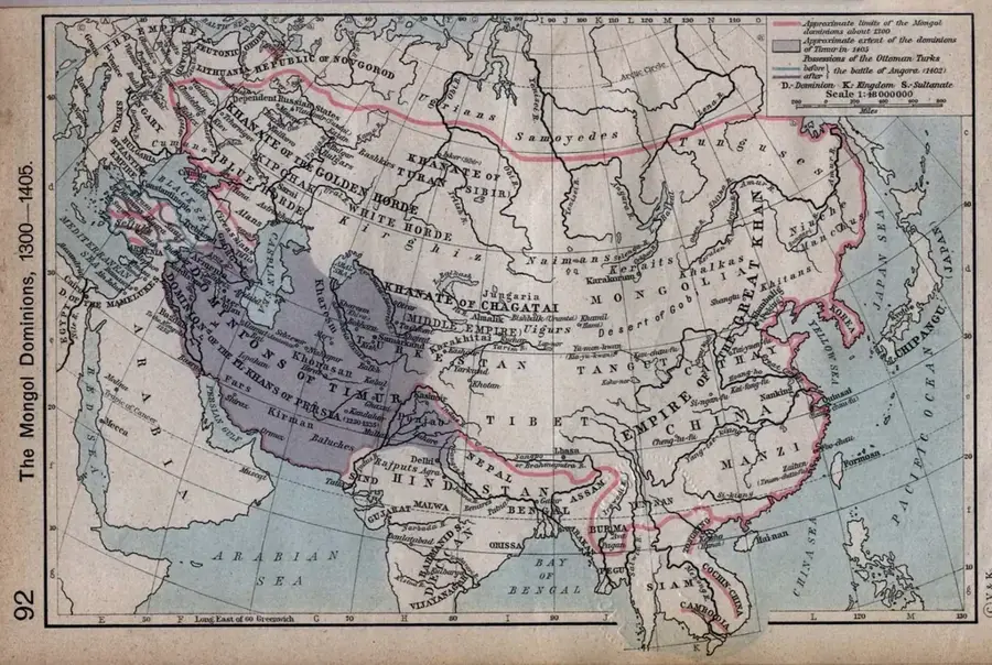
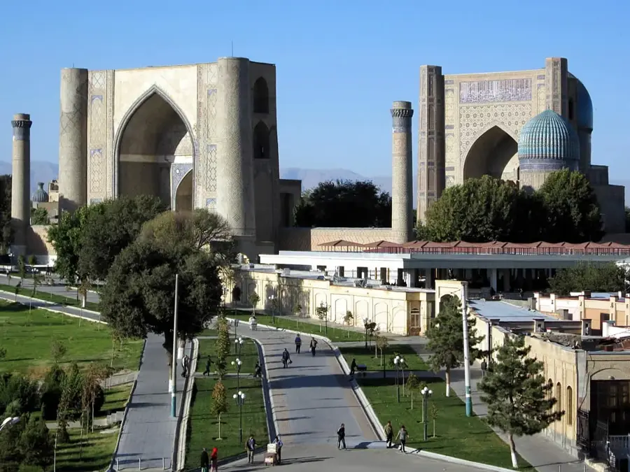
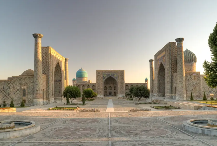
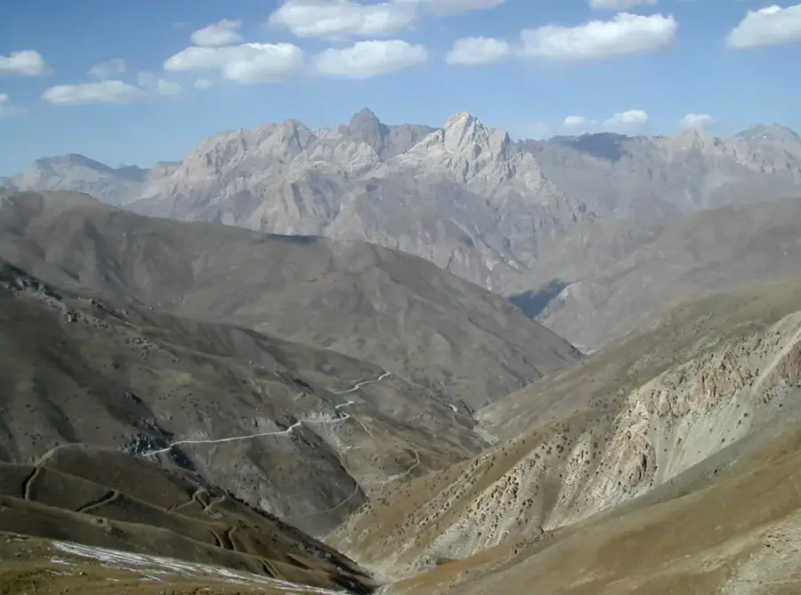
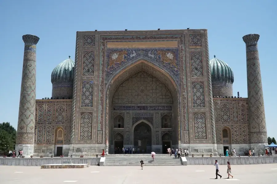
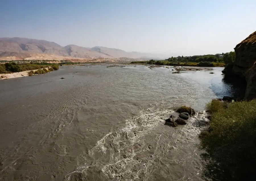
The Zarafshan Range is a major mountain chain within the Pamir-Alay system, stretching approximately 370 kilometers across Tajikistan and Uzbekistan. In the east, the range originates at the mountain knot of the Zarafshan Glacier and extends westward, situated south of the Zarafshan River. Its highest peak is Mount Chimtarga, reaching an elevation of 5,489 meters above sea level. The geological composition of the range primarily consists of crystalline schists, limestones, and granites, creating a rugged, alpine landscape. The range plays a crucial role in the region's water cycle, as its glaciers and snowfields feed numerous tributaries vital for agriculture in the Samarkand and Bukhara oases. Historically, the mountains flanked key routes of the Silk Road and today house significant archaeological sites, such as the ancient city of Panjakent.
- Location: Uzbekistan
- Nearby: Jizzakh (39 km)
Best time to visit & climate
The most pleasant time to visit is Jun–Aug.
| Jan | Feb | Mar | Apr | May | Jun | Jul | Aug | Sep | Oct | Nov | Dec | |
|---|---|---|---|---|---|---|---|---|---|---|---|---|
| Avg °C | -12 | -11 | -5 | 1 | 6 | 11 | 13 | 13 | 8 | 2 | -5 | -10 |
| Rain mm | 34 | 51 | 57 | 54 | 36 | 14 | 3 | 2 | 2 | 16 | 35 | 34 |
📋 Practical info
Geography
Facts
- The total length of the range is approximately 370 kilometers.
- Mount Chimtarga is the highest peak at 5,489 meters.
- The Zarafshan Glacier extends for nearly 25 kilometers.
- The mountains are primarily composed of Paleozoic schists and limestones.
- Significant archaeological discoveries were made in the region in 1932.
- There are over 130 glaciers located within the range.
Explore nearby
Notable places around
Route planner — Car & Motorhome
Where do you start? We build the route here, with stops and country notes along the way.
© OpenStreetMap contributors · OpenRouteService
Sights in the town Zarafshan Range (1)
Sights nearby
Frequently asked questions
What do the Sarafschon Mountains offer?
Is hiking safe there?
Are there hotels?
When is it most beautiful?
Is it suitable for families?
Zarafshan Range: where is it located?
Zarafshan Range: when is the best time to visit?
Zarafshan Range: why is it worth visiting?

Nearby cities
History & landmarks
Nature
More places