Plizio Visual Lab
Rio Grande
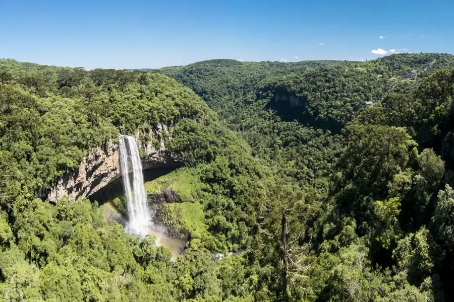
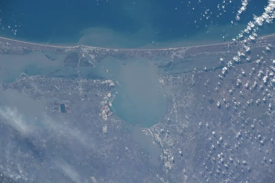
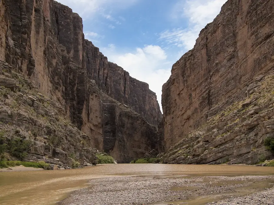
The Rio Grande is a massive, highly critical international river flowing for 1,896 miles from its high-altitude origins in the heavily snow-capped San Juan Mountains of Colorado completely down to the Gulf of Mexico. For over 1,200 miles, its highly meandering course serves as the absolute official international boundary between the United States (specifically Texas) and Mexico. In the deeply arid environments of New Mexico and West Texas, the river is the absolute lifeblood of the massive region, heavily tapped for crucial agricultural irrigation and municipal water supplies, resulting in massive depletion before it even reaches the sea. The river famously carved the massive, striking canyons of Big Bend National Park.
- Location: United States
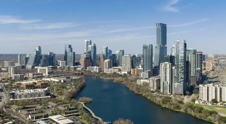
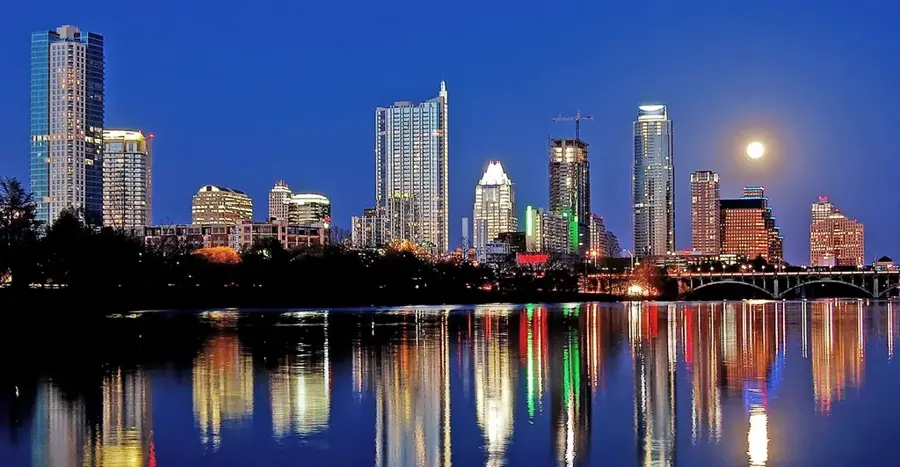
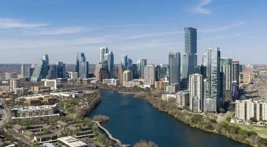
- Nearby: Austin (36 km)
Best time to visit & climate
The most pleasant time to visit is Apr, Oct, Nov.
| Jan | Feb | Mar | Apr | May | Jun | Jul | Aug | Sep | Oct | Nov | Dec | |
|---|---|---|---|---|---|---|---|---|---|---|---|---|
| Avg °C | 11 | 14 | 18 | 22 | 26 | 29 | 30 | 30 | 27 | 23 | 17 | 13 |
| Rain mm | 47 | 34 | 61 | 59 | 92 | 76 | 75 | 62 | 101 | 69 | 44 | 43 |
📋 Practical info
Geography
Facts
- Flows for a massive, heavily managed length of 1,896 miles.
- Forms over 1,200 miles of the absolute US-Mexico international border.
- Originates at an elevation of 12,000 feet in the San Juan Mountains.
- Its waters are deeply, heavily allocated for crucial agricultural irrigation.
- Famously carved the massive, deep canyons of Big Bend National Park.
- Often completely dries up before physically reaching the Gulf of Mexico.
Explore nearby
Notable places around
Route planner — Car & Motorhome
Where do you start? We build the route here, with stops and country notes along the way.
© OpenStreetMap contributors · OpenRouteService
Sights in the town Rio Grande (1)
Sights nearby
Frequently asked questions
Can you go rafting on the river?
How is the water level?
Is the river a border?
When is the best time for kayaking?
Are there many national parks?
Rio Grande: where is it located?
Rio Grande: when is the best time to visit?
Rio Grande: why is it worth visiting?

Nearby cities


More places