Plizio Visual Lab
Castillos

ℹ️Practical info — Castillos
▾
🌤 Weather — 5 days
📍 Nearby
Sights nearby
💡 Tips
- Use this town as a primary base to stock up on supplies before heading out to Cabo Polonio.
- Check bus schedules at the local terminal carefully, as coastal connections change seasonally.
- Try to visit the nearby Bosque de Ombúes; it's a truly unique botanical experience.
- Many local shops close during the afternoon for a traditional siesta, so plan accordingly.
🍽 Food
Traditional Uruguayan barbecue, best enjoyed at the local 'parrilladas' in town.
A sweet liquor made from local palm fruit, easily found around the region.
A massive steak sandwich that will fill you up at almost any local diner.
🛍 Shopping · 🧘 Quiet spots
Jams and liquors made from palm fruit, sold in shops along the main road.
Wool and leather crafts made by local artisans, often found at small markets.
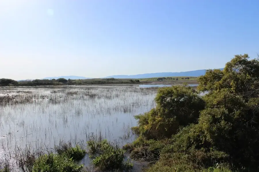
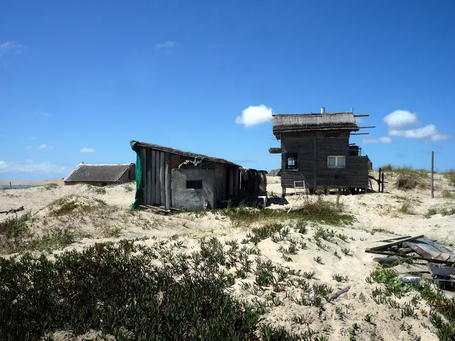
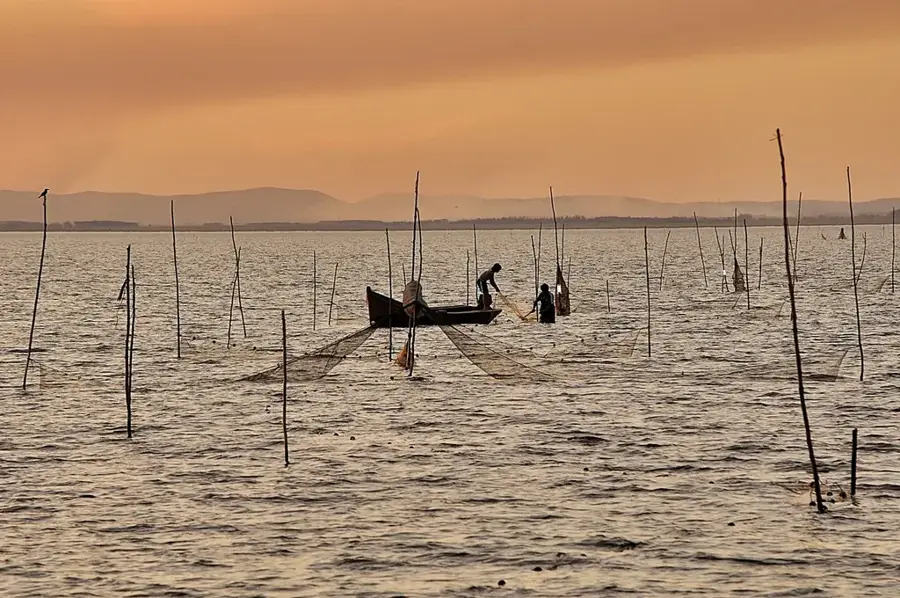
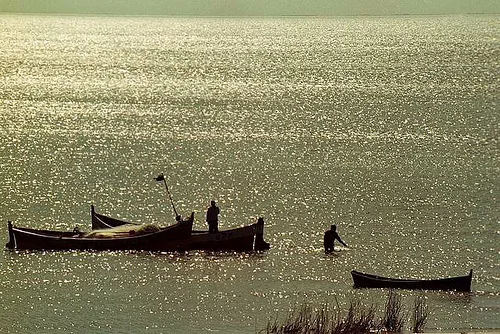
A peaceful lagoon that is excellent for birdwatching.
A quiet, almost mystical forest featuring giant Ombú trees.
Water temperature…
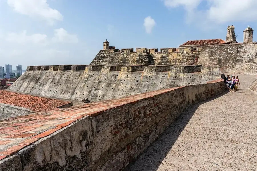
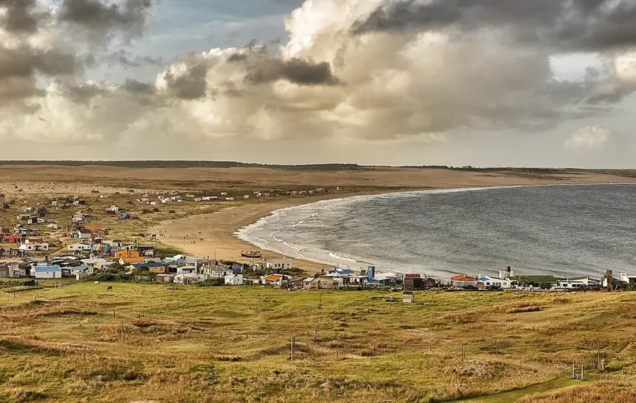
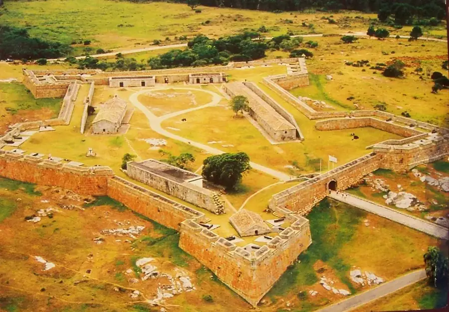
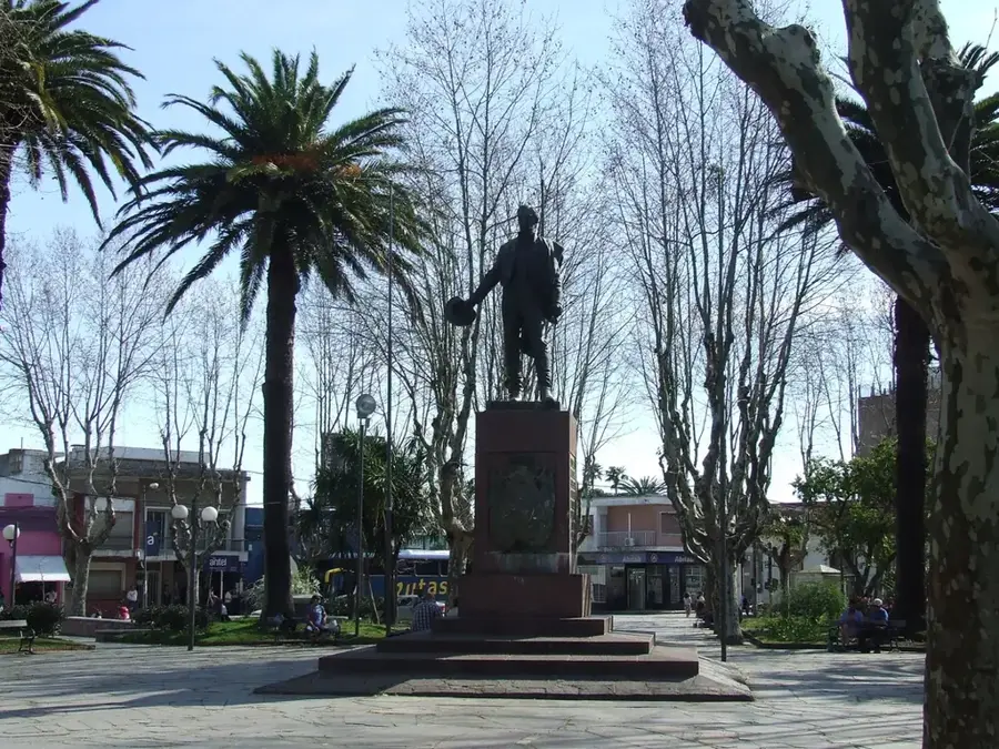
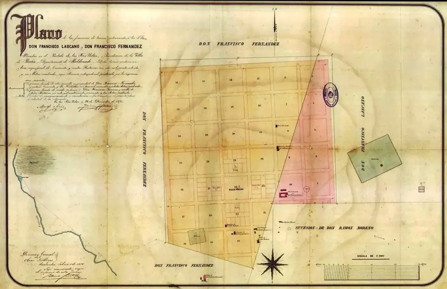
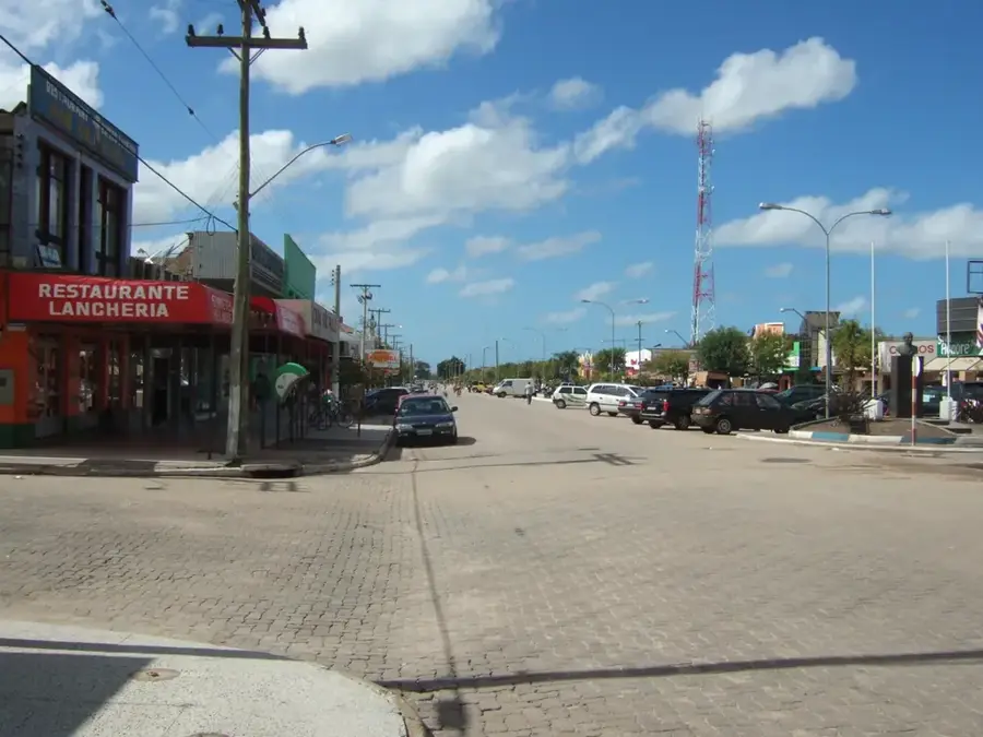
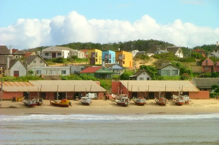
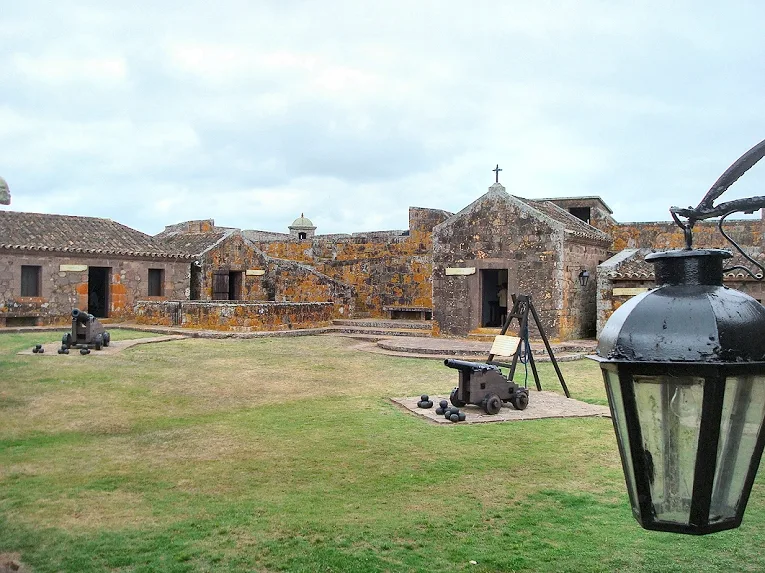
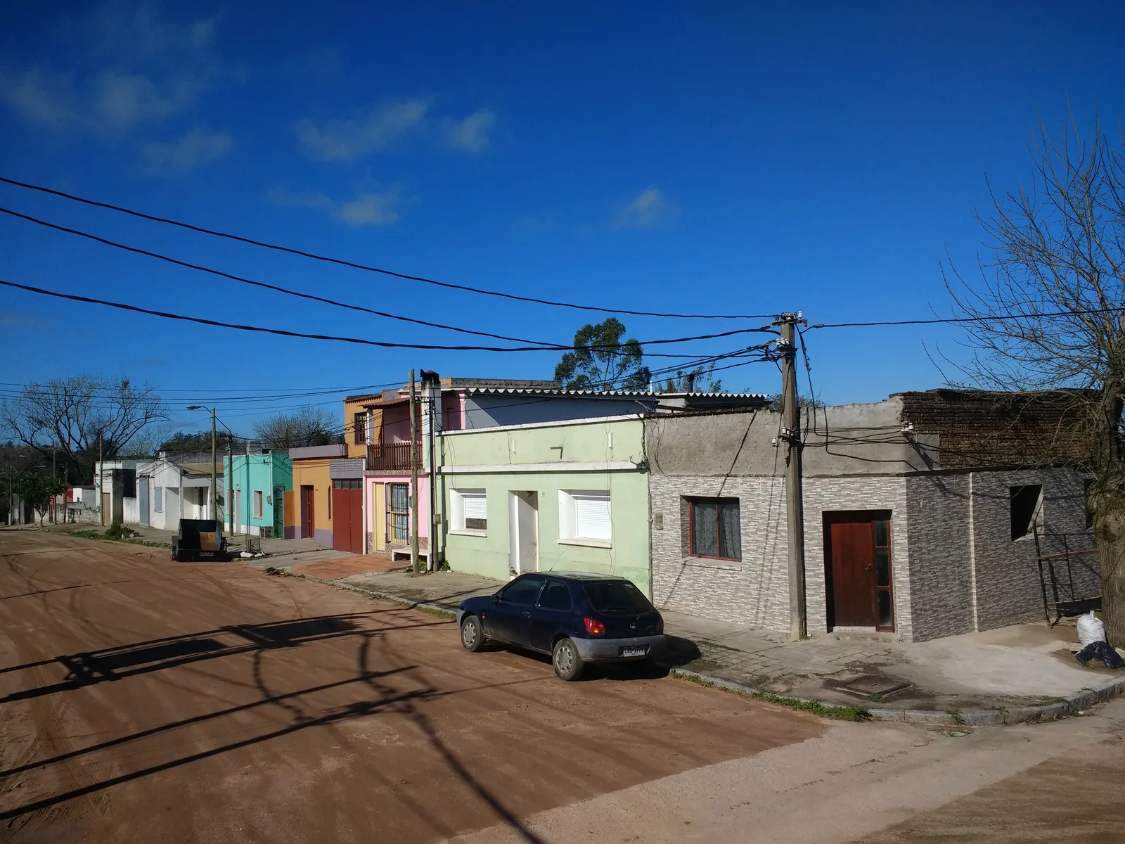
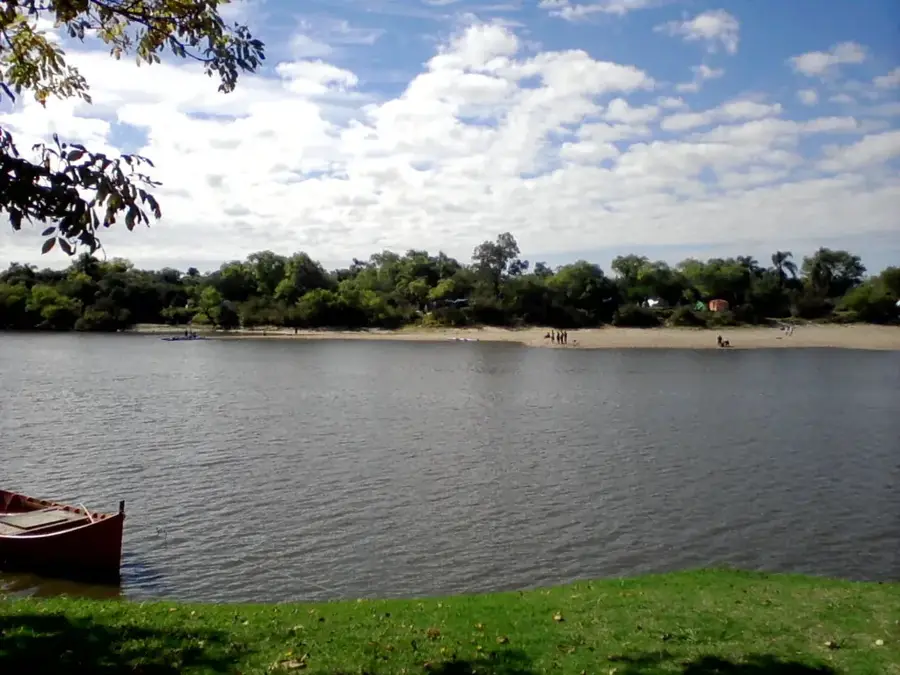
Castillos, a city in the Rocha Department of eastern Uruguay, was officially founded on April 19, 1866. Its name is derived from the nearby fortress, Fortaleza de Santa Teresa, whose distinctive towers are reminiscent of castles (castillos). The city is strategically located at the junction of National Routes 9 and 16, making it a local hub for commerce and services. The region's economy is traditionally marked by livestock farming, particularly cattle and sheep, as well as rice cultivation in the surrounding wetlands. In recent decades, tourism has also gained significance, as Castillos acts as a gateway to the Santa Teresa National Park and the pristine beaches of Aguas Dulces and Valizas. The urban landscape is characterized by a mix of older colonial-style buildings and modern functional structures. Social life centers around the main square, where the church and important public institutions are located. The city is also known for its proximity to the Laguna de Castillos, a significant wetland that provides a habitat for numerous bird species and is a popular destination for nature observers.
- Location: Uruguay
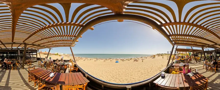
- Nearby: Aguas Dulces (9 km)
- Population: ~7.541 (2021)
Best time to visit & climate
The most pleasant time to visit is Jan, Mar, Dec.
| Jan | Feb | Mar | Apr | May | Jun | Jul | Aug | Sep | Oct | Nov | Dec | |
|---|---|---|---|---|---|---|---|---|---|---|---|---|
| Avg °C | 22 | 22 | 21 | 18 | 15 | 12 | 11 | 12 | 13 | 16 | 18 | 21 |
| Rain mm | 105 | 125 | 125 | 116 | 119 | 114 | 100 | 127 | 118 | 120 | 83 | 92 |
Geography
Facts
- Castillos was founded on April 19, 1866.
- The city is located at an altitude of 44 meters above sea level.
- As of the 2011 census, Castillos had a population of 7,541.
- The name 'Castillos' means 'castles' in Spanish.
- The economy is heavily based on livestock farming and rice cultivation.
- It is the gateway to Santa Teresa National Park, which attracts over 100,000 visitors annually.
Explore nearby
Notable places around
Route planner — Car & Motorhome
Where do you start? We build the route here, with stops and country notes along the way.
© OpenStreetMap contributors · OpenRouteService
Frequently asked questions
Time required?
When?
Accessibility?
Food?
Families?
Castillos: where is it located?
Castillos: when is the best time to visit?
Castillos: why is it worth visiting?

Nearby cities
History & landmarks


Nature
More places