Plizio Visual Lab
Santa Lucía River
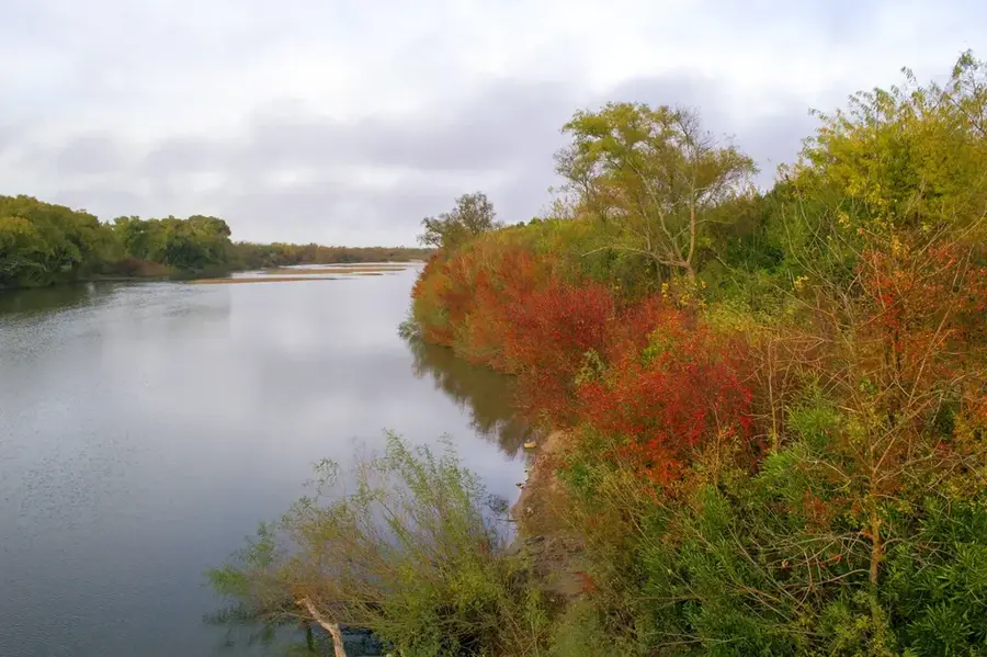
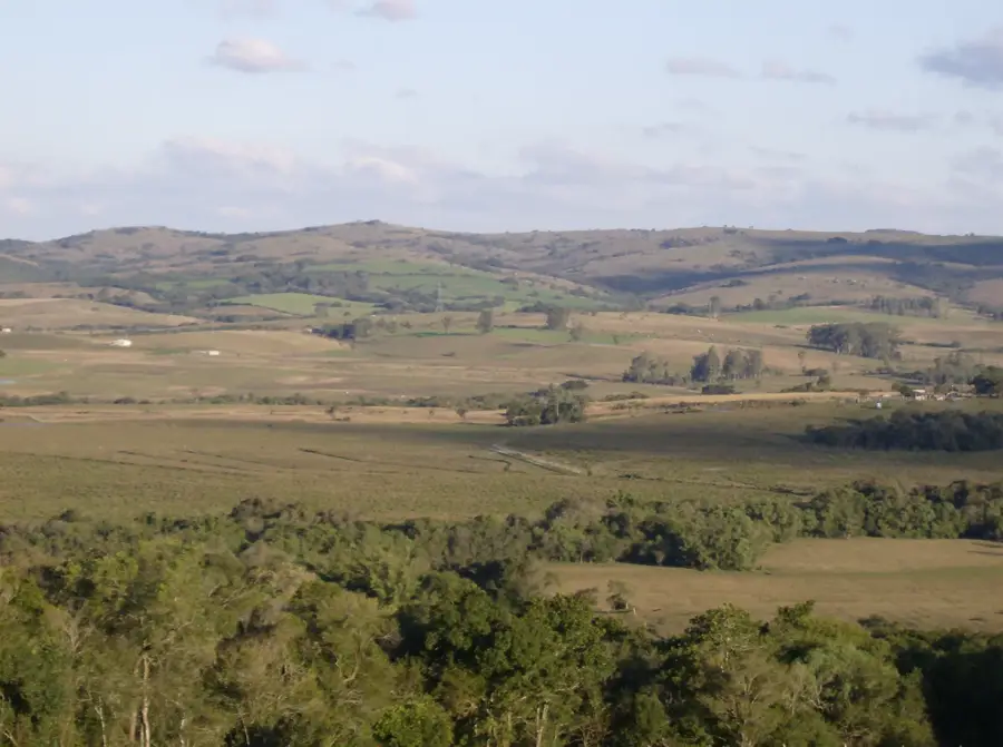
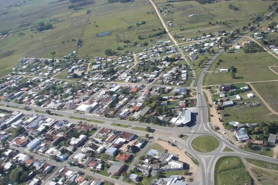
The Santa Lucía River is vitally important to Uruguay as it is the primary source of drinking water for over 60% of the country's population, including the Montevideo metropolitan area. The river originates in the Lavalleja Department, in the hills of Sierra Carapé, and flows south for 248 kilometers before emptying into the Río de la Plata. Its 13,600 square kilometer basin is heavily influenced by human activities, such as agriculture and urbanization, which has led to concerns about water quality in recent years. Significant efforts and investments have been made to combat pollution and protect the watershed. The river is also important for recreation, offering opportunities for fishing, boating, and other water sports. Its main tributary, the Santa Lucía Chico River, is also of great importance. The river was named on December 13, 1520, by Juan de Santa Cruz, a member of Magellan's expedition, on the feast day of Saint Lucy.
- Location: Uruguay
- Top sights: Mirador · Cebras · Monos
- Nearby: Ciudad del Plata (6 km)
Best time to visit & climate
The most pleasant time to visit is Mar, Nov, Dec.
| Jan | Feb | Mar | Apr | May | Jun | Jul | Aug | Sep | Oct | Nov | Dec | |
|---|---|---|---|---|---|---|---|---|---|---|---|---|
| Avg °C | 23 | 23 | 21 | 18 | 15 | 12 | 10 | 12 | 13 | 16 | 19 | 21 |
| Rain mm | 102 | 106 | 118 | 114 | 84 | 98 | 92 | 89 | 96 | 103 | 96 | 86 |
📋 Practical info
Geography
Facts
- It supplies drinking water to over 60% of Uruguay's population.
- The river is 248 kilometers long.
- It was named on December 13, 1520, Saint Lucy's day.
- Its drainage basin is 13,600 square kilometers.
- The capital city, Montevideo, depends on this river.
- It flows into the Río de la Plata.
Explore nearby
Notable places around
Route planner — Car & Motorhome
Where do you start? We build the route here, with stops and country notes along the way.
© OpenStreetMap contributors · OpenRouteService
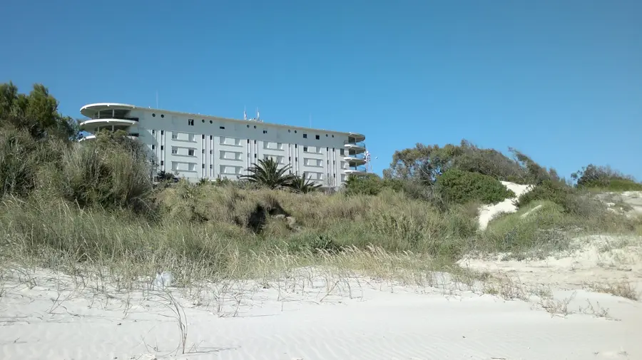
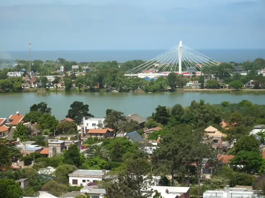
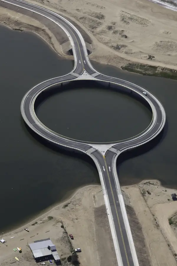
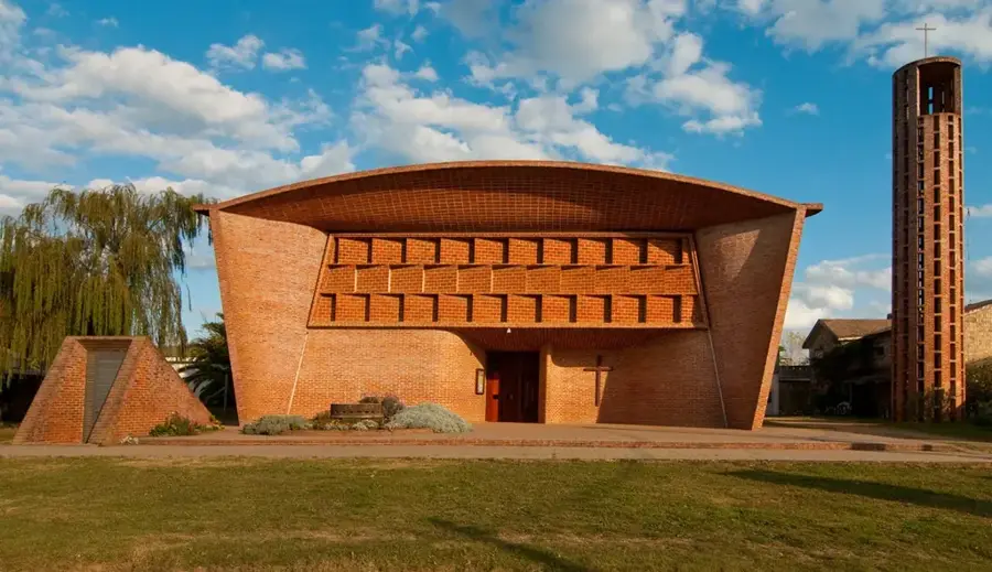
Sights in the town Santa Lucía River (7)
Zoo Parque Lecocq🎡 recreation
A massive wildlife park where many animals live in semi-liberty, dedicated to the conservation of endangered species.
Sights nearby
Frequently asked questions
How close is the river to Montevideo?
Are there hiking trails there?
Is the Río Santa Lucía good for birdwatching?
Is the water suitable for swimming?
Are there picnic facilities?
Santa Lucía River: where is it located?
Santa Lucía River: what is there to see?
Santa Lucía River: when is the best time to visit?
Santa Lucía River: why is it worth visiting?

Nearby cities
History & landmarks
More places