Plizio Visual Lab
Pando
ℹ️Practical info — Pando
▾
🌤 Weather — 5 days
📍 Nearby
Sights nearby
💡 Tips
- Visit the General Artigas National Park on the banks of the Arroyo Pando for a traditional picnic or 'asado' at the public grills.
- Pando is a major regional hub; use Route 8 for easy bus or car connections to Montevideo and Minas.
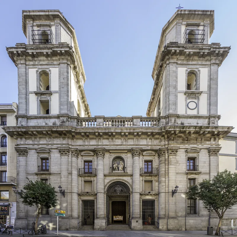
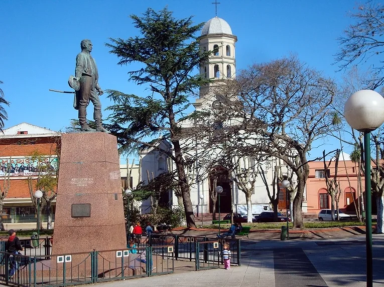
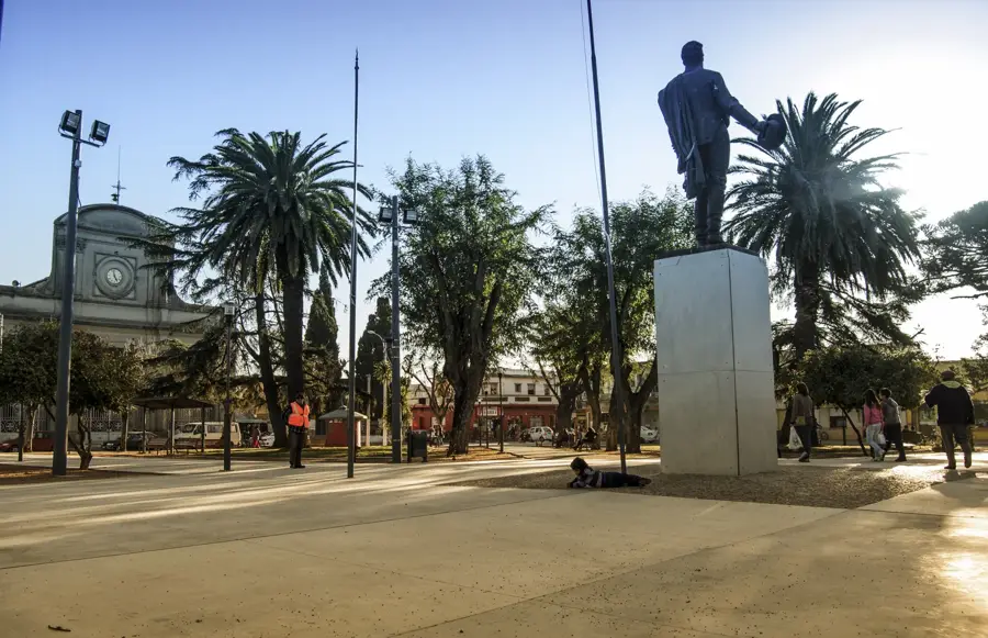
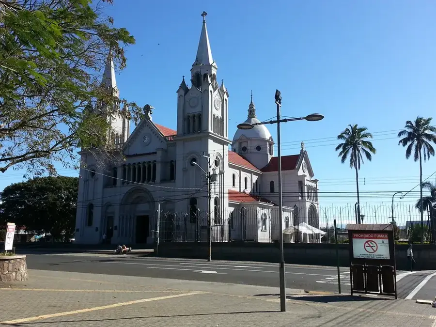
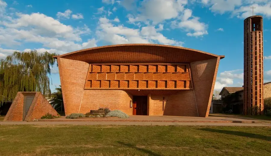
- Explore Plaza Constitución, the city's main square, which features the historic Church of the Immaculate Conception.
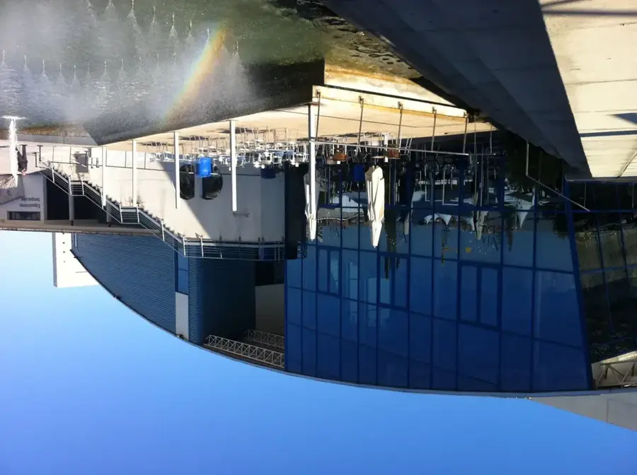
- Observe the city's industrial heritage by visiting the historic station area and the industrial park zones.
- Join the locals at the park on weekends when the area comes alive with families sharing 'mate' and playing soccer.
🍽 Food
Try authentic Uruguayan grilled meats at local 'parrillas' (steakhouse) in the city center or near the park.
The national steak sandwich; look for it in local diners for a filling and iconic Uruguayan meal.
Visit a 'panadería' for fresh 'bizcochos' (savory or sweet pastries) which are a staple for the afternoon snack.
🛍 Shopping · 🧘 Quiet spots
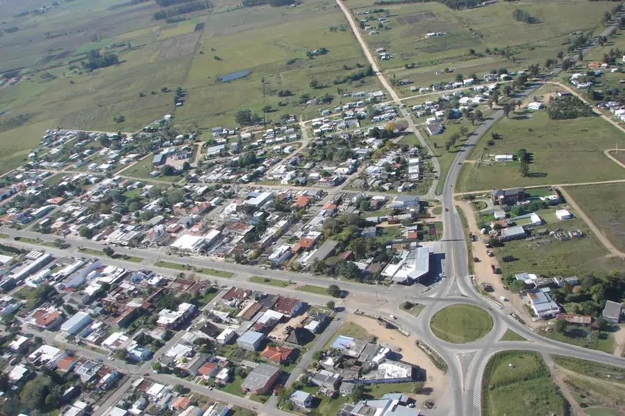
The main commercial street of Pando, lined with local shops, banks, and essential services.
Visit the weekly 'ferias' (street markets) to find fresh regional produce and local snacks at great prices.
Look for small shops near the center selling handmade leather goods and traditional 'mate' gourds.
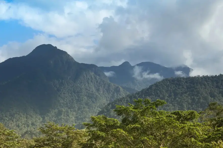
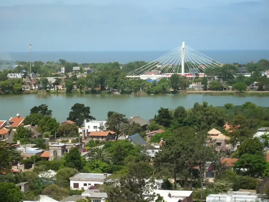
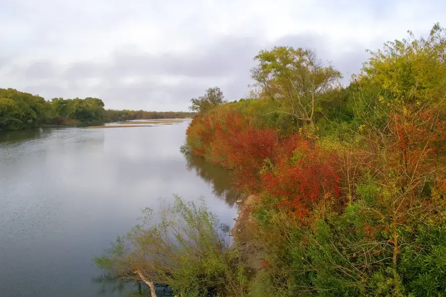
An expansive riverside park with native flora, offering a peaceful retreat from the city's commercial energy.
The quieter stretches of the stream outside the main park area are convenient for fishing or solitary walks.
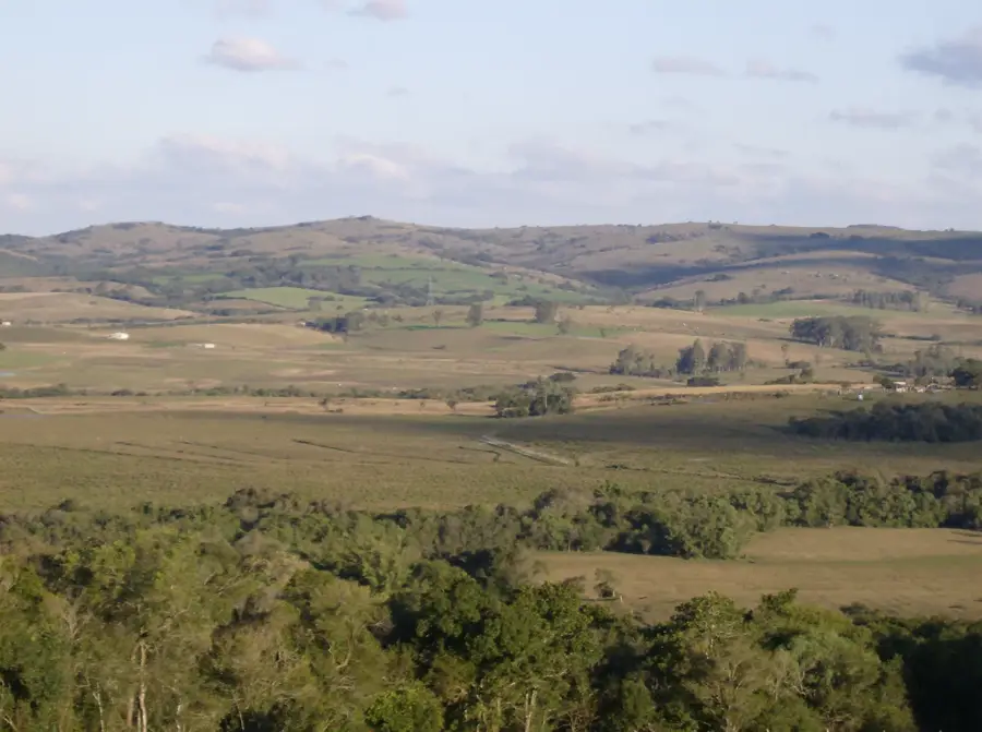
The more rural outskirts of Pando offer tranquil views and a glimpse into the local agricultural landscape.
Water temperature…
Pando is an important city in the Canelones Department of Uruguay, located about 29 kilometers northeast of Montevideo. Founded in 1788, the city grew into a significant center due to its strategic location on Route 8, a major transport artery connecting the capital to the east of the country. During the 20th century, Pando underwent considerable industrialization, becoming known for its tanneries and food processing plants. The city gained national notoriety in 1969 for the 'Toma de Pando' (Taking of Pando), a daring operation by the Tupamaros urban guerrilla group, which briefly seized control of the town. This event marked a turning point in Uruguay's political history. Today, Pando continues to serve as an important commercial and service hub for its agricultural hinterland, maintaining its industrial base while also functioning as a residential city within the growing Montevideo metropolitan area.
- Location: Uruguay
- Nearby: Barros Blancos (5 km)
- Population: ~24.047 (2019)
Best time to visit & climate
The most pleasant time to visit is Mar, Nov, Dec.
| Jan | Feb | Mar | Apr | May | Jun | Jul | Aug | Sep | Oct | Nov | Dec | |
|---|---|---|---|---|---|---|---|---|---|---|---|---|
| Avg °C | 24 | 23 | 21 | 17 | 14 | 11 | 10 | 11 | 13 | 16 | 19 | 22 |
| Rain mm | 99 | 106 | 122 | 103 | 88 | 96 | 92 | 99 | 99 | 108 | 95 | 89 |
Geography
Facts
- Founded on August 5, 1788.
- The 'Toma de Pando' occurred on October 8, 1969.
- The city has a population of approximately 25,947 as of the 2011 census.
- It is situated on the banks of the Arroyo Pando stream.
- Declared a 'Pueblo' (village) on March 11, 1863, and a 'Ciudad' (city) in 1920.
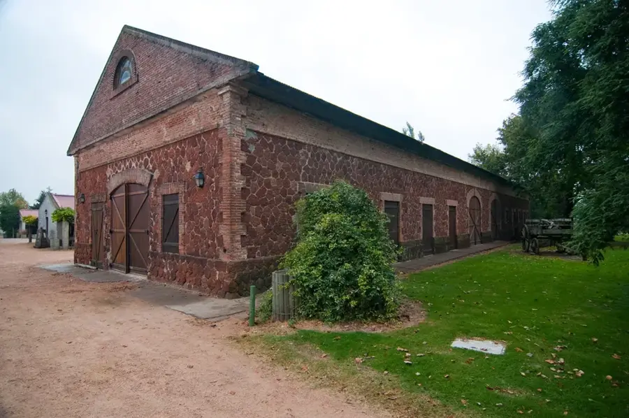
- Its economy was historically dominated by the leather industry.
Explore nearby
Notable places around
Route planner — Car & Motorhome
Where do you start? We build the route here, with stops and country notes along the way.
© OpenStreetMap contributors · OpenRouteService
Frequently asked questions
What is the character of Pando?
Is Pando a tourist destination?
How is the connection to Montevideo?
Are there nearby natural areas?
What is there to see in the area?
Pando: where is it located?
Pando: when is the best time to visit?
Pando: why is it worth visiting?

Nearby cities


History & landmarks
Nature
More places