Plizio Visual Lab
Kigezi Valleys
Weather…
Water temperature…
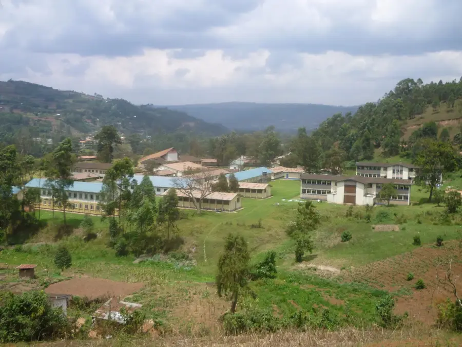
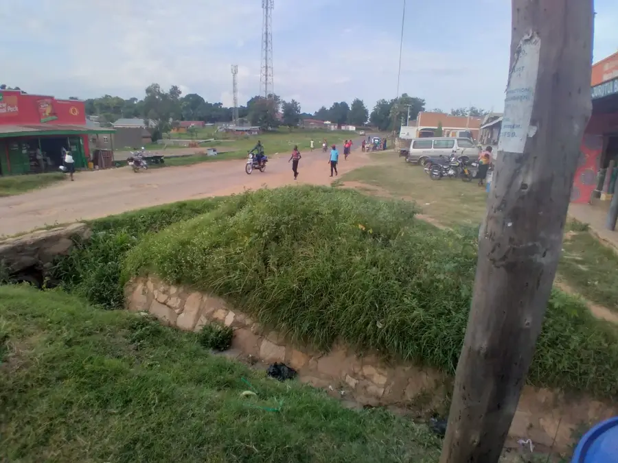
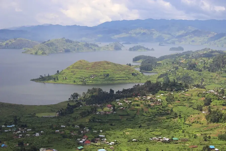
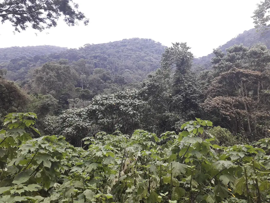
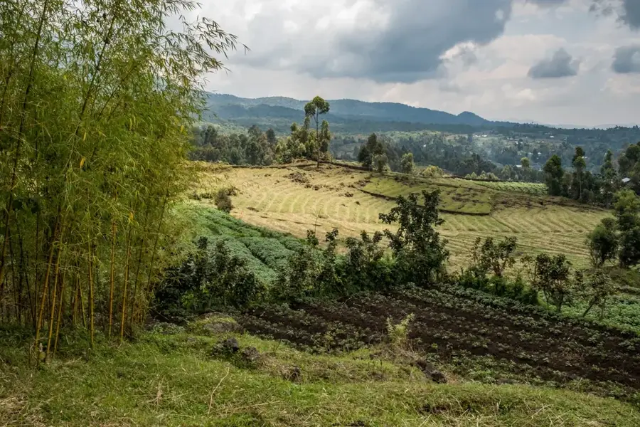
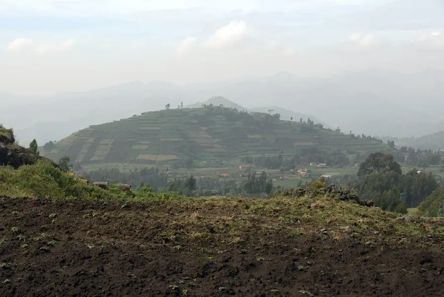
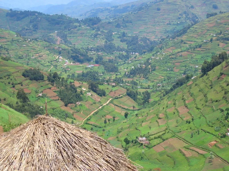
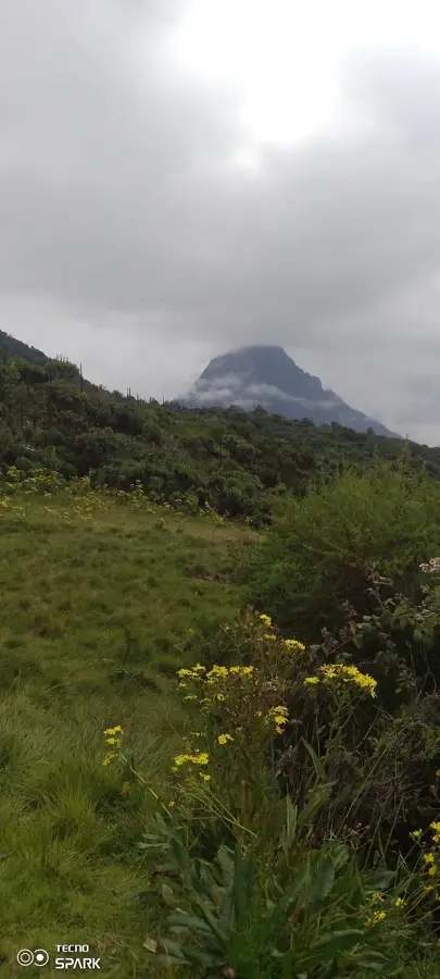
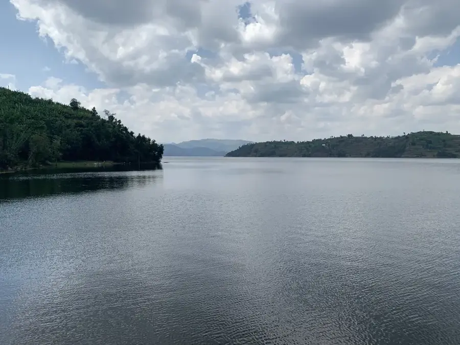
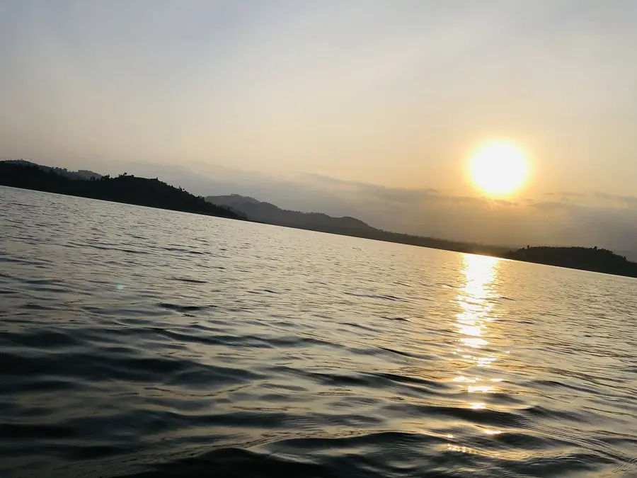
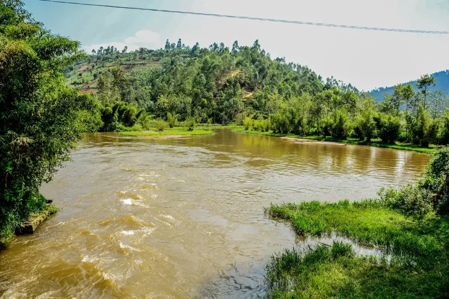
The valleys of Kigezi cut through the heavily dissected highland region of southwestern Uganda, forming the counterpart to the famous terraced slopes. These deeply incised valleys have been carved by the erosive power of rivers and streams over geological time, creating a dramatic relief with elevation changes of hundreds of meters. The valley floors are often flat and wide, hosting extensive papyrus swamps and wetlands, such as those of the Muyaga River. These wetlands play a crucial role in water filtration, flood control, and as habitat for a variety of bird species, including the endemic grey crowned crane. In contrast to the intensively cultivated hillsides, the wettest parts of the valley floors are often used for cattle grazing or left as natural areas. On the valley margins, where drainage is better, crops like bananas and coffee are grown. The valleys serve as important transport corridors, with roads following the contours of the terrain. They are integral components of the Kigezi ecosystem and landscape, representing a dynamic interplay between aquatic and terrestrial environments.
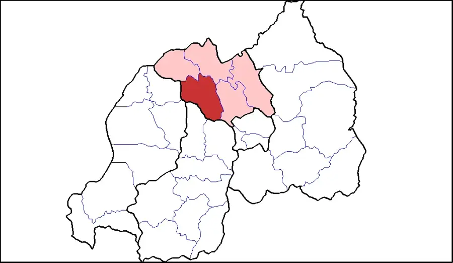
- Location: Uganda
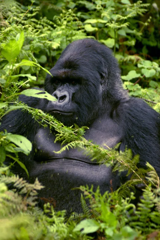
- Nearby: Bwindi Impenetrable National Park (5 km)
Best time to visit & climate
The most pleasant time to visit is Jan, Jun, Jul.
| Jan | Feb | Mar | Apr | May | Jun | Jul | Aug | Sep | Oct | Nov | Dec | |
|---|---|---|---|---|---|---|---|---|---|---|---|---|
| Avg °C | 21 | 22 | 21 | 21 | 21 | 21 | 21 | 22 | 21 | 21 | 20 | 20 |
| Rain mm | 87 | 91 | 147 | 136 | 112 | 63 | 47 | 91 | 134 | 172 | 170 | 111 |
📋 Practical info
Geography
Facts
- The valleys are often filled with extensive papyrus swamps (Cyperus papyrus).
- They form important avian habitats, including for the grey crowned crane.
- Relief between the valley floor and ridge top can exceed 500 meters.
- Valley floors are frequently used for cattle grazing during the dry season.
- Rivers such as the Muyaga and Ishasha flow through these valleys.
- The valleys are the result of fluvial erosion in the Precambrian basement rock.
- Population density is lower in the valleys compared to the slopes.
- They function as natural corridors for human and animal movement.
Explore nearby
Notable places around
Route planner — Car & Motorhome
Where do you start? We build the route here, with stops and country notes along the way.
© OpenStreetMap contributors · OpenRouteService
Sights nearby
Frequently asked questions
What characterizes the Kigezi valleys?
Can you hike in the valleys?
Is the region interesting for photographers?
What is the local infrastructure like?
Do I need a rental car?
Kigezi Valleys: where is it located?
Kigezi Valleys: when is the best time to visit?
Kigezi Valleys: why is it worth visiting?

Nearby cities


History & landmarks
Nature
More places