Plizio Visual Lab
Bunyoro Escarpment
Weather…
Water temperature…
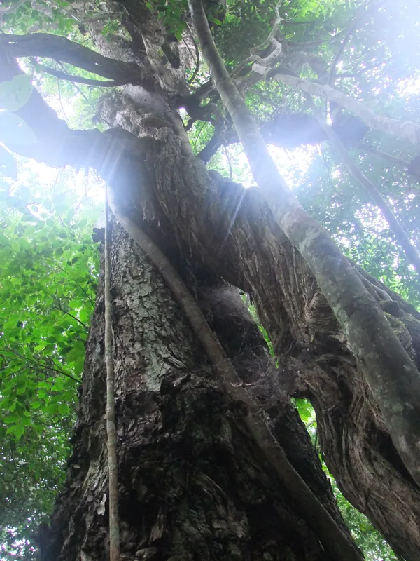
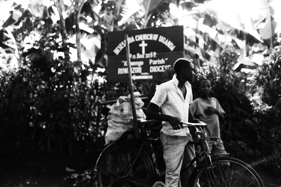
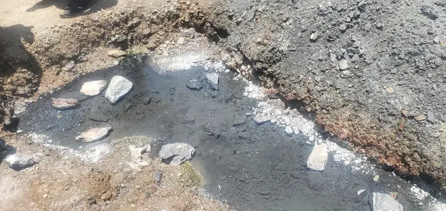
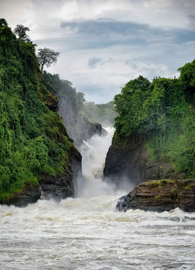
The Bunyoro Escarpment is a prominent geological feature that forms the eastern edge of the Albertine Rift in western Uganda. It runs along the eastern side of Lake Albert, dropping steeply to the rift valley floor and creating a dramatic landscape. The escarpment is part of the Great Rift Valley and marks the fault line where the African continental plate is splitting apart. The difference in elevation between the top of the escarpment and Lake Albert can be as much as 700 meters. This region is historically significant as part of the former Bunyoro-Kitara Kingdom. The slopes of the escarpment are covered by a mix of savanna woodland, bushland, and agricultural plots, where the local population cultivates crops like maize and cassava. The escarpment plays a crucial role in the local climate, as it traps rain clouds, leading to higher rainfall on the plateau. The area is also economically important, as significant oil reserves have been discovered beneath Lake Albert and along the escarpment, leading to the development of Uganda's oil and gas industry.
- Location: Uganda
- Nearby: Hoima (35 km)
Best time to visit & climate
The most pleasant time to visit is Jan, Jun, Dec.
| Jan | Feb | Mar | Apr | May | Jun | Jul | Aug | Sep | Oct | Nov | Dec | |
|---|---|---|---|---|---|---|---|---|---|---|---|---|
| Avg °C | 28 | 29 | 28 | 27 | 26 | 25 | 25 | 26 | 26 | 25 | 25 | 26 |
| Rain mm | 29 | 36 | 96 | 112 | 109 | 76 | 82 | 113 | 141 | 158 | 119 | 59 |
📋 Practical info
Geography
Facts
- The escarpment is part of the western arm of the East African Rift.
- The drop in elevation is as much as 700 meters (2,300 feet).
- The region was the center of the historical Bunyoro-Kitara Kingdom.
- Significant oil reserves, estimated at over 1 billion barrels, have been discovered along the escarpment.
- It runs along the eastern shore of Lake Albert.
- The fault that formed the escarpment is still active, causing occasional earthquakes.
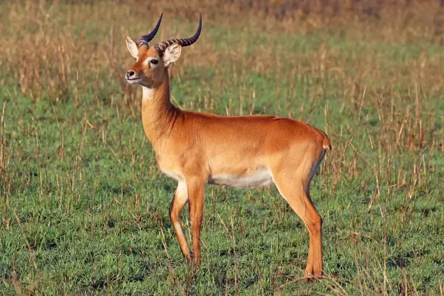
- The Kabwoya Wildlife Reserve is located along the escarpment.
Explore nearby
Notable places around
Route planner — Car & Motorhome
Where do you start? We build the route here, with stops and country notes along the way.
© OpenStreetMap contributors · OpenRouteService
Sights nearby
Frequently asked questions
What makes the Bunyoro-Steilhang so special?
Is there tourist infrastructure there?
Is the area popular with hikers?
What is the weather like in this region?
Can you go wild camping there?
Bunyoro Escarpment: where is it located?
Bunyoro Escarpment: when is the best time to visit?
Bunyoro Escarpment: why is it worth visiting?

Nearby cities


Nature
More places