Plizio Visual Lab
Jebel Abderrahmane
Weather…
Water temperature…
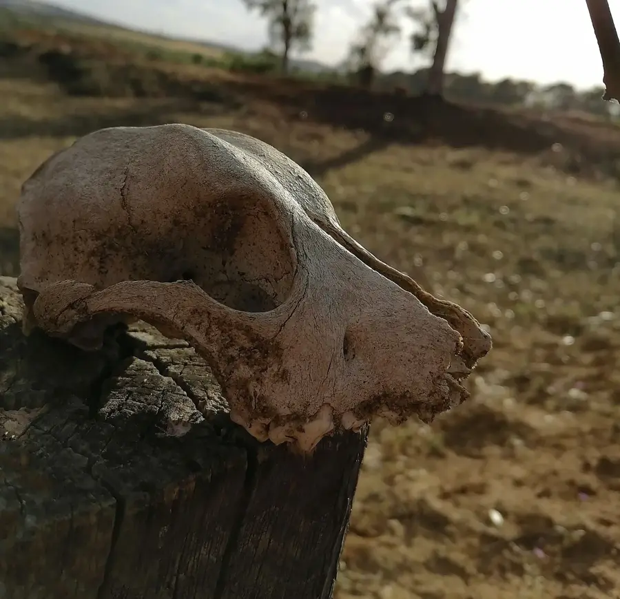
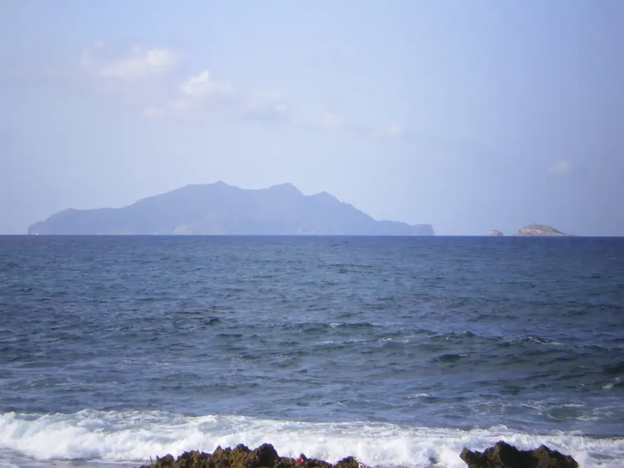
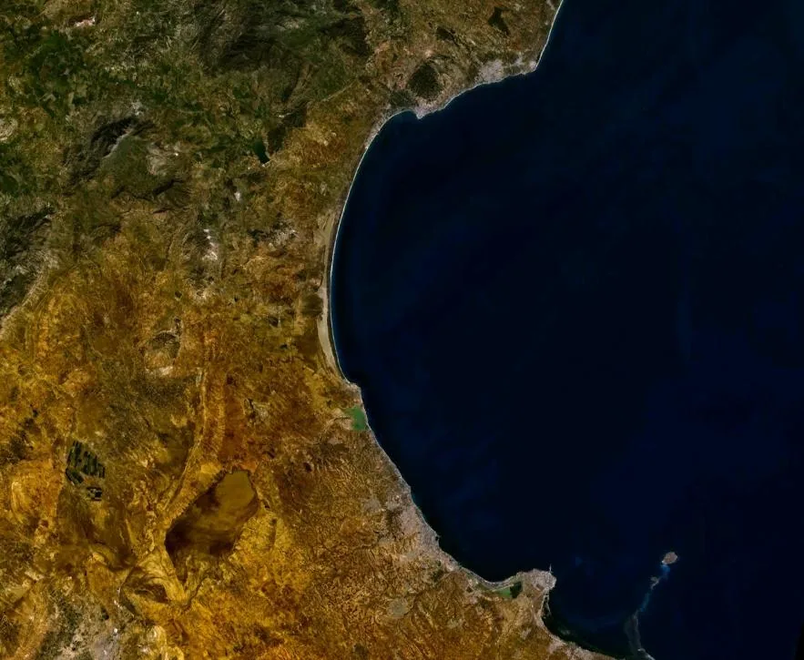
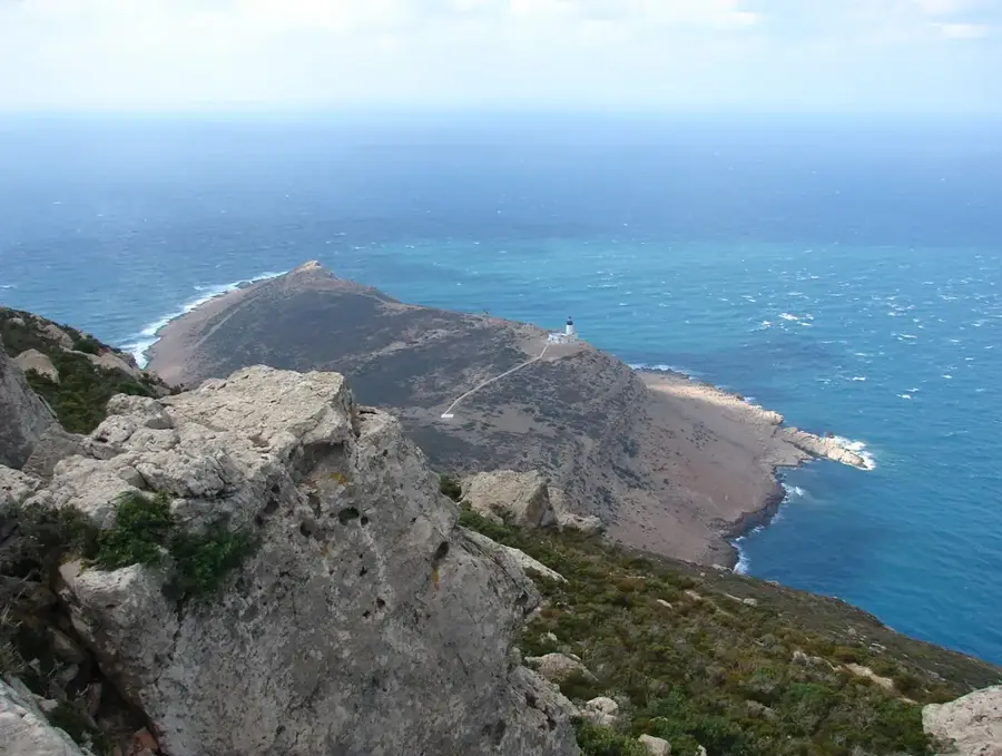
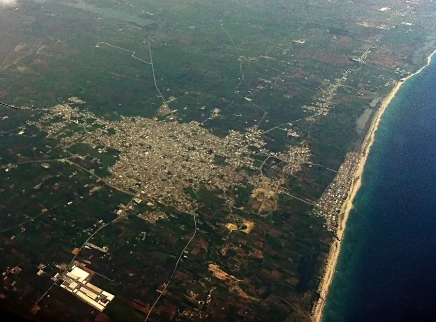
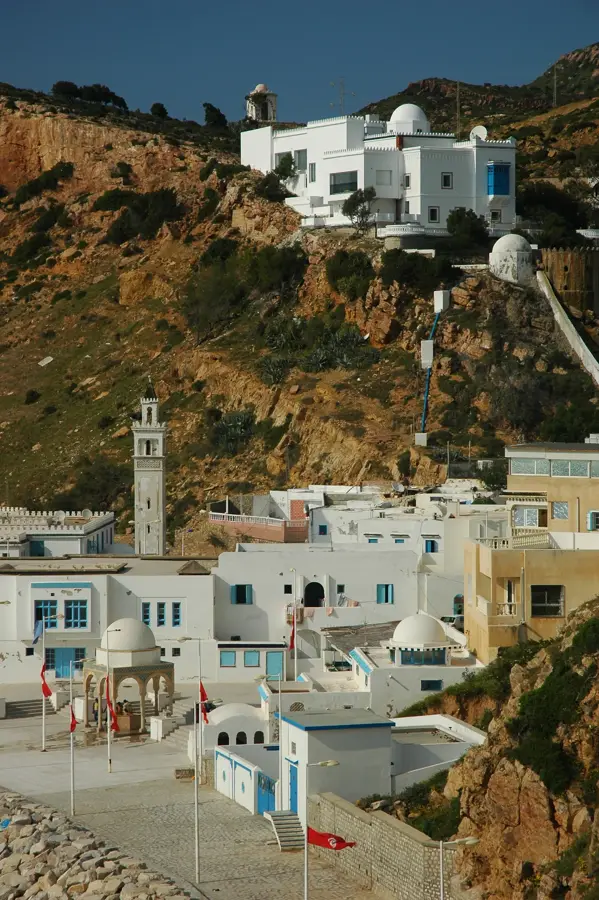
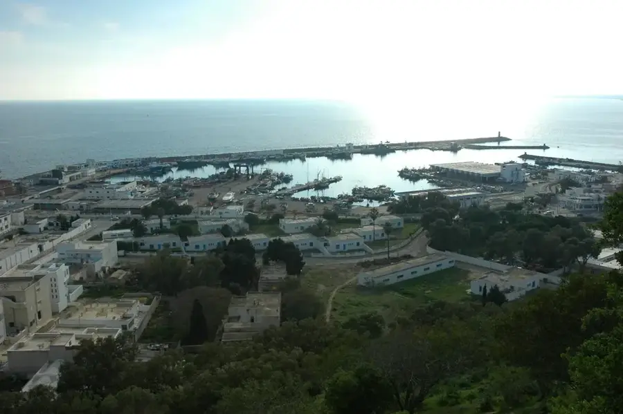
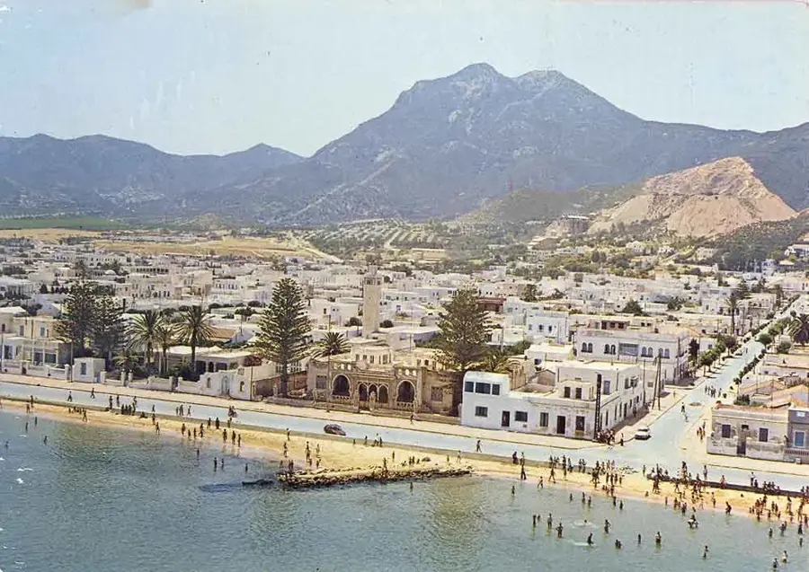
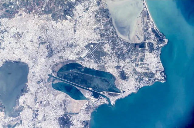
Jebel Abderrahmane forms the mountainous backbone of the Cap Bon peninsula in northeastern Tunisia. Reaching a maximum elevation of 602 meters, the massif extends for approximately 50 kilometers and consists primarily of sandstone and marl. It is one of the most ecologically significant zones in the region, characterized by extensive maquis shrublands and cork oak forests. The mountain acts as a climatic barrier, intercepting moist air masses from the Mediterranean Sea, which results in relatively high biodiversity. Numerous migratory birds use the massif as a navigational landmark and resting site on their journey between Europe and Africa. The valleys contain remnants of ancient Roman quarries and agricultural terraces. Today, the area is developed with hiking trails and provides expansive views over the peninsula and the Strait of Sicily. Conservation efforts focused on soil erosion and overgrazing are central to preserving this natural environment.
- Location: Tunisia
- Nearby: Menzel Temime (21 km)
Best time to visit & climate
The most pleasant time to visit is May–Jul.
| Jan | Feb | Mar | Apr | May | Jun | Jul | Aug | Sep | Oct | Nov | Dec | |
|---|---|---|---|---|---|---|---|---|---|---|---|---|
| Avg °C | 14 | 13 | 14 | 16 | 18 | 22 | 25 | 26 | 24 | 22 | 19 | 15 |
| Rain mm | 54 | 46 | 52 | 38 | 22 | 12 | 5 | 19 | 74 | 71 | 56 | 67 |
📋 Practical info
Geography
Facts
- The highest peak of Jebel Abderrahmane reaches an elevation of 602 meters.
- The massif stretches for approximately 50 kilometers along the Cap Bon peninsula.
- Geologically, it is dominated by sandstones from the Oligocene and Miocene eras.
- The area is a crucial corridor for over 100 species of migratory birds.
- The ancient quarries of El Haouaria are located in the vicinity.
- The cork oak forests here are among the southernmost occurrences in Tunisia.
Explore nearby
Notable places around
Route planner — Car & Motorhome
Where do you start? We build the route here, with stops and country notes along the way.
© OpenStreetMap contributors · OpenRouteService
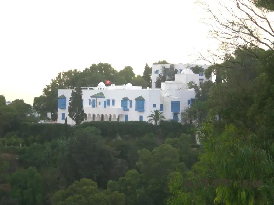
Sights in the town Jebel Abderrahmane (1)
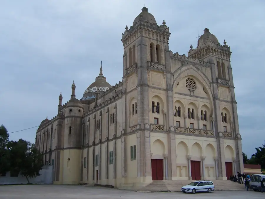
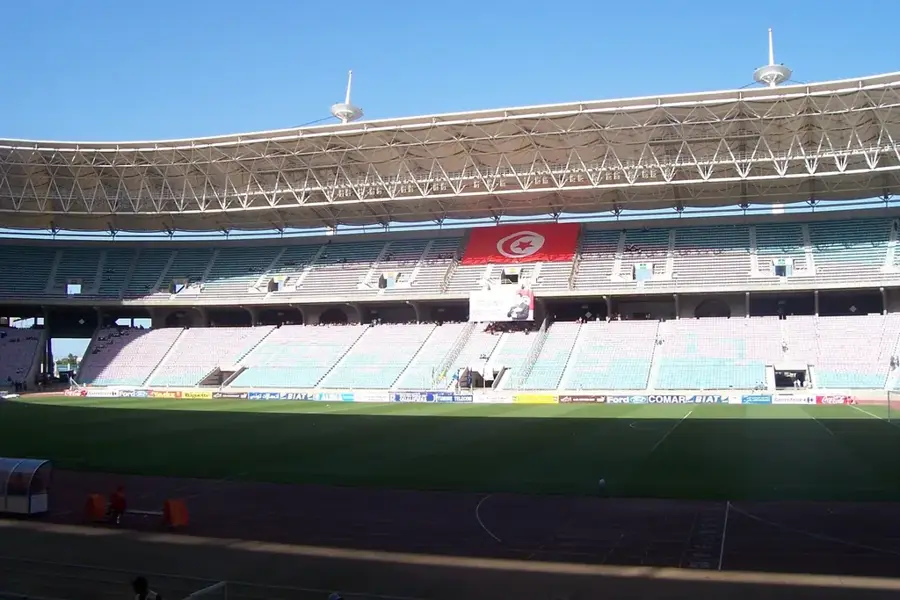
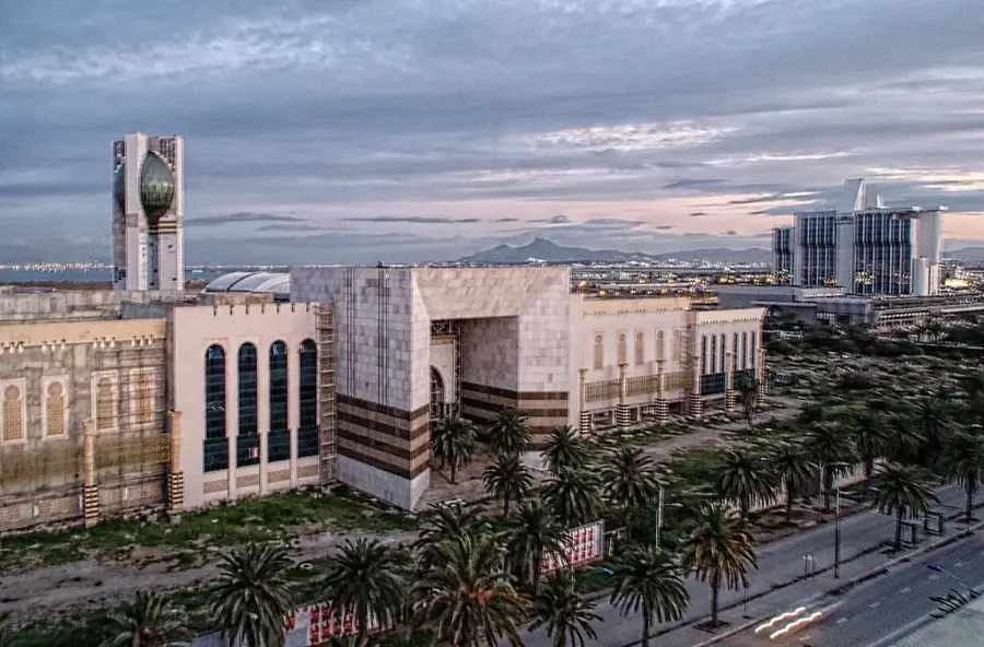
Sights nearby
Frequently asked questions
Where is Jebel Abderrahmane located?
Is it suitable for hiking?
When should you visit it?
Is the path to the summit difficult?
Are there viewpoints there?
Jebel Abderrahmane: where is it located?
Jebel Abderrahmane: when is the best time to visit?
Jebel Abderrahmane: why is it worth visiting?

Nearby cities
History & landmarks
Nature
More places