Plizio Visual Lab
Djebel Abderrahmane
Weather…
Water temperature…
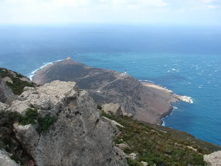
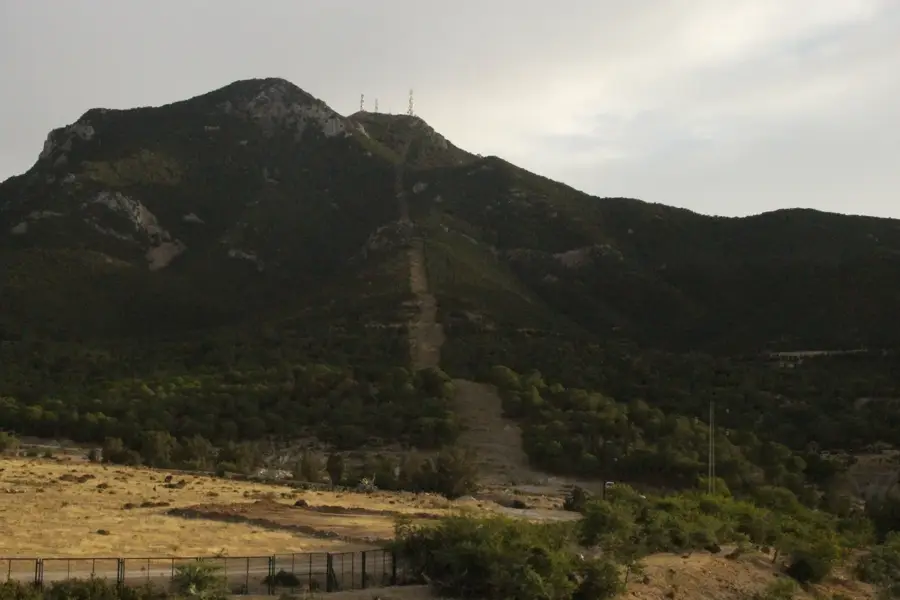
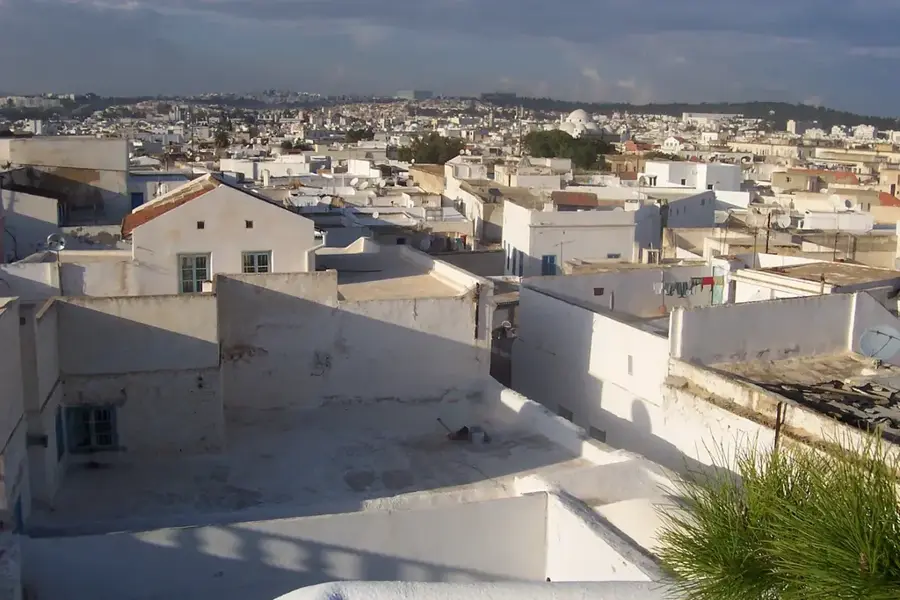
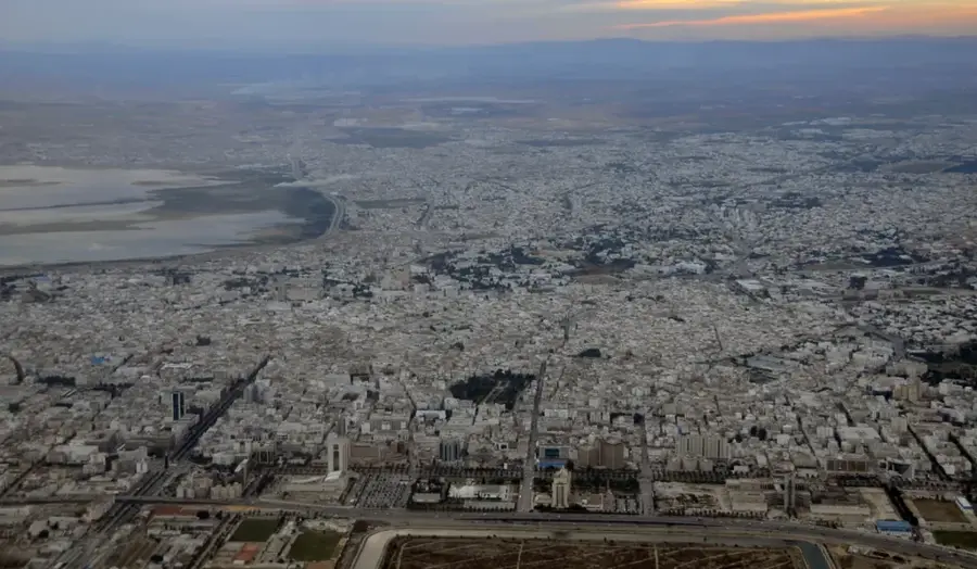
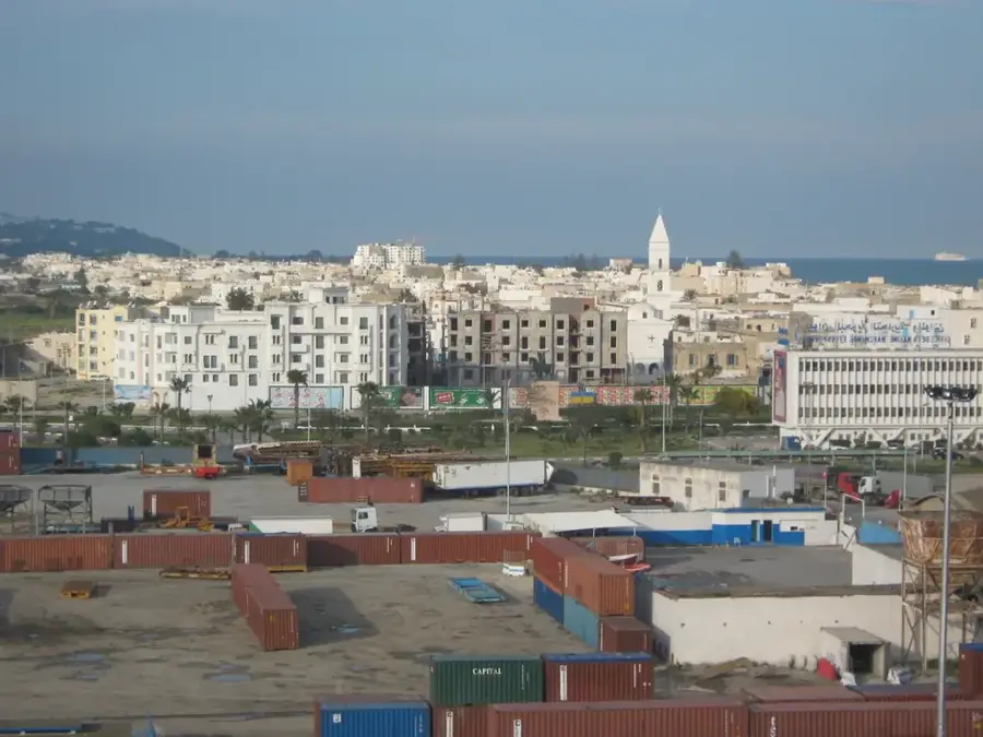
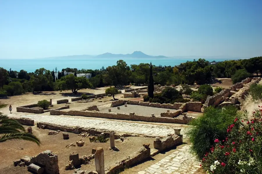
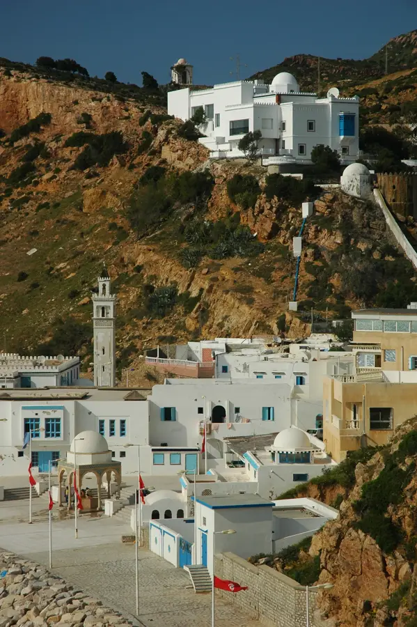
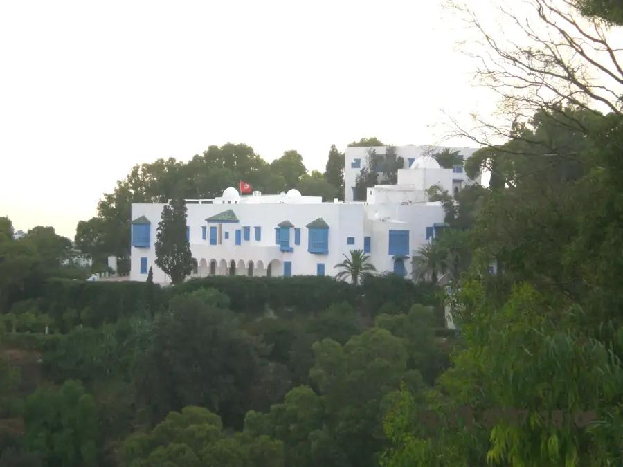
Djebel Abderrahmane forms the backbone of the Cap Bon peninsula in northeastern Tunisia. Its summit reaches 637 meters above sea level, making it the highest and most prominent elevation in this fertile region. The massif stretches for about 35 kilometers, playing a crucial role in shaping the peninsula's microclimate by intercepting moisture from the Mediterranean Sea. Consequently, the vegetation is remarkably lush for Tunisia, featuring extensive forests of Aleppo pines and cypress trees, along with dense maquis shrubland. Geologically, the mountain is primarily composed of sandstone and limestone formations. Djebel Abderrahmane is also a vital corridor for migratory birds traveling between Europe and Africa via Cap Bon. The slopes offer numerous trails for hikers, providing panoramic vistas of the Gulf of Hammamet and the Gulf of Tunis. Historically, the heights were used for strategic signal stations to monitor and control coastal routes.
- Location: Tunisia
- Nearby: Korbous (14 km)
Best time to visit & climate
The most pleasant time to visit is May, Jun, Oct.
| Jan | Feb | Mar | Apr | May | Jun | Jul | Aug | Sep | Oct | Nov | Dec | |
|---|---|---|---|---|---|---|---|---|---|---|---|---|
| Avg °C | 13 | 12 | 14 | 16 | 19 | 23 | 26 | 27 | 25 | 22 | 18 | 14 |
| Rain mm | 52 | 42 | 55 | 42 | 27 | 17 | 5 | 20 | 71 | 63 | 52 | 60 |
📋 Practical info
Geography
Facts
- The maximum elevation is 637 meters above sea level.
- The mountain is the highest point on the Cap Bon peninsula.
- The ridge spans a length of approximately 35 kilometers.
- The area is designated as a state-protected forest zone.
- Over 200 species of birds use the mountain as a stopover during migration.
- The geological foundation consists mainly of flysch and sandstone.
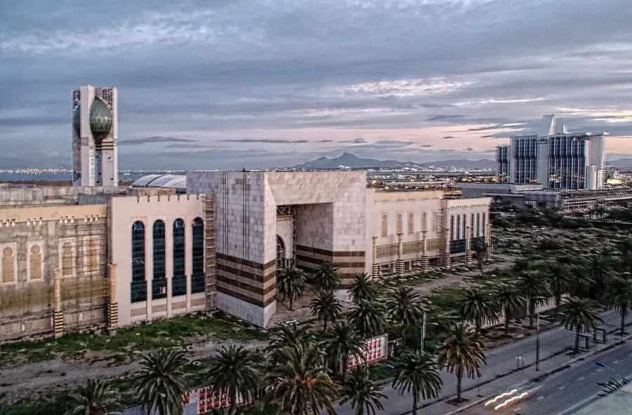
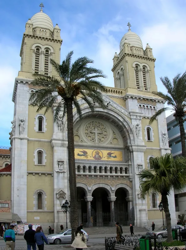
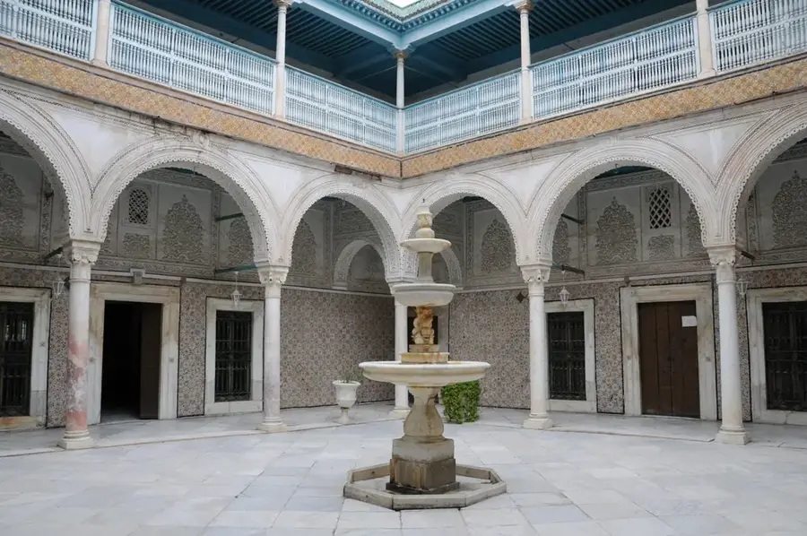
Explore nearby
Notable places around
Route planner — Car & Motorhome
Where do you start? We build the route here, with stops and country notes along the way.
© OpenStreetMap contributors · OpenRouteService
Sights nearby
Frequently asked questions
Where is Djebel Abderrahmane located?
Is the mountain forested?
Are there beautiful viewpoints there?
Is the area suitable for hiking?
Is access to the trails free?
Djebel Abderrahmane: where is it located?
Djebel Abderrahmane: when is the best time to visit?
Djebel Abderrahmane: why is it worth visiting?

Nearby cities
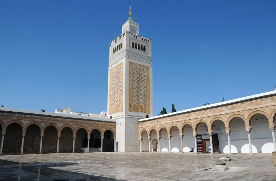
History & landmarks
More places