Plizio Visual Lab
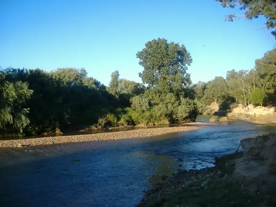
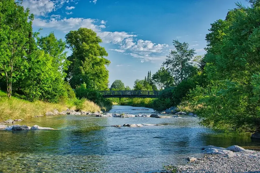
Medjerda River
Weather…
Water temperature…
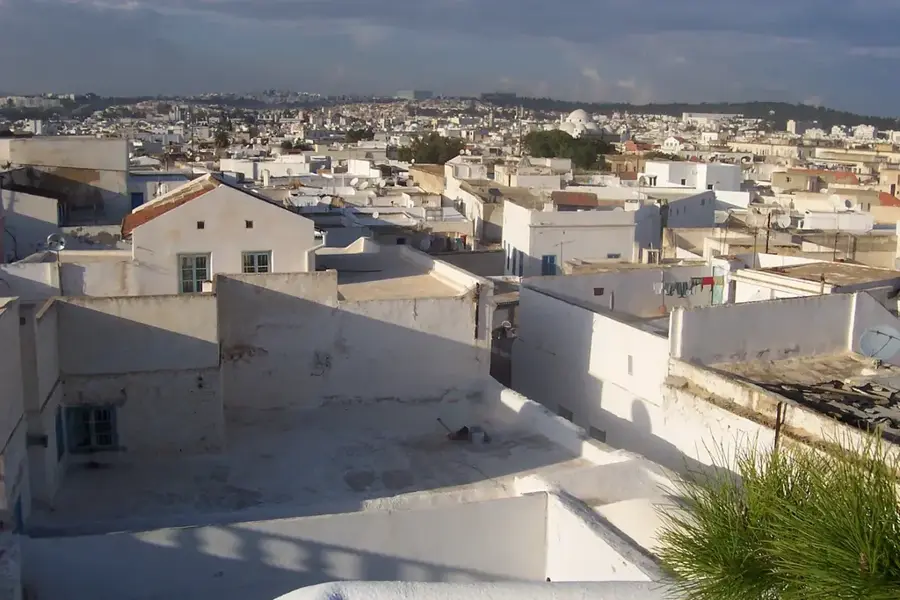
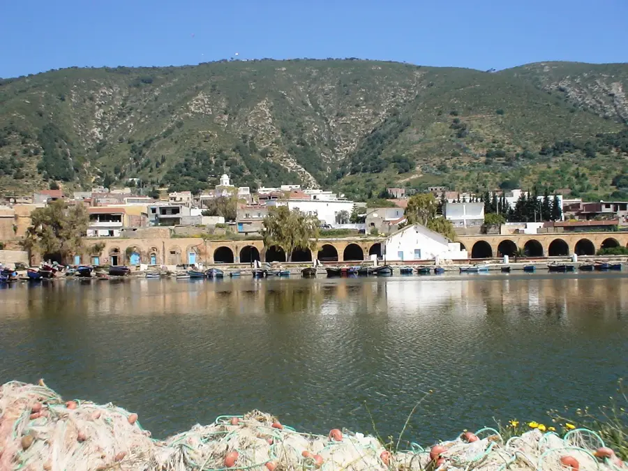
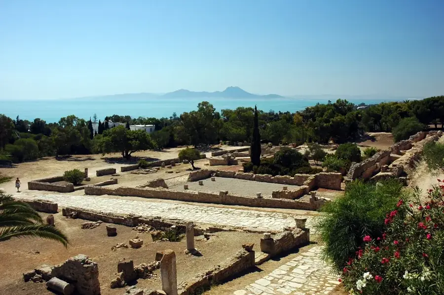
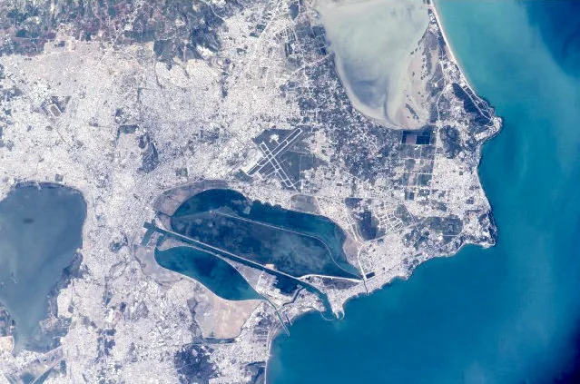
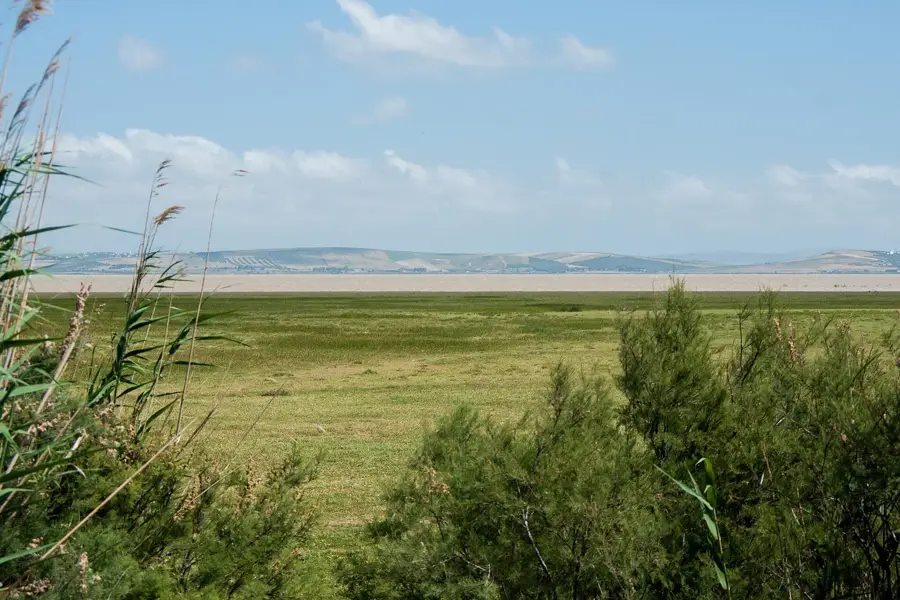
The Medjerda River, known in ancient times as the Bagrada, is the longest and only permanent river in Tunisia. Originating in the Tell Atlas mountains of northeastern Algeria, it flows for over 450 kilometers across northern Tunisia before emptying into the Gulf of Tunis. The Medjerda Valley is the country's most fertile agricultural region, having served as a vital breadbasket since Carthaginian and Roman times. Due to high sediment deposits, the river's delta has shifted significantly over the centuries, leaving ancient port cities like Utica several kilometers inland today. The river is essential to the Tunisian economy, providing the majority of water for irrigation and the domestic supply for the capital city, Tunis. Several major dams, such as the Sidi Salem Dam, regulate its flow and generate hydroelectric power. Ecologically, the river system acts as a crucial corridor for local wildlife and vegetation, though it faces ongoing challenges from erosion and industrial runoff. The Medjerda remains the lifeblood of Tunisia's agricultural productivity and water security.
- Location: Tunisia
- Nearby: Oued Ellil (18 km)
Best time to visit & climate
The most pleasant time to visit is May, Jun, Oct.
| Jan | Feb | Mar | Apr | May | Jun | Jul | Aug | Sep | Oct | Nov | Dec | |
|---|---|---|---|---|---|---|---|---|---|---|---|---|
| Avg °C | 11 | 11 | 13 | 16 | 20 | 24 | 28 | 28 | 25 | 21 | 16 | 13 |
| Rain mm | 64 | 50 | 63 | 54 | 35 | 20 | 7 | 21 | 65 | 61 | 57 | 66 |
📋 Practical info
Geography
Facts
- Tunisia's longest river, with a total length of 450 km.
- The only river in the country with a permanent year-round flow.
- Home to the Sidi Salem Dam, the largest dam in Tunisia.
- The delta has advanced 12 km into the sea since ancient times.
- Provides drinking water for nearly 4 million people in Tunis.
- Was famously known as the Bagrada River in antiquity.
Explore nearby
Notable places around
Route planner — Car & Motorhome
Where do you start? We build the route here, with stops and country notes along the way.
© OpenStreetMap contributors · OpenRouteService
Sights nearby
Frequently asked questions
Can one fish on the Medjerda river?
Are boat trips possible on the Medjerda?
What is the best season for hiking?
Are there dangers from flooding?
Are picnics allowed by the river?
Medjerda River: where is it located?
Medjerda River: when is the best time to visit?
Medjerda River: why is it worth visiting?

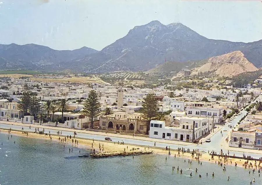
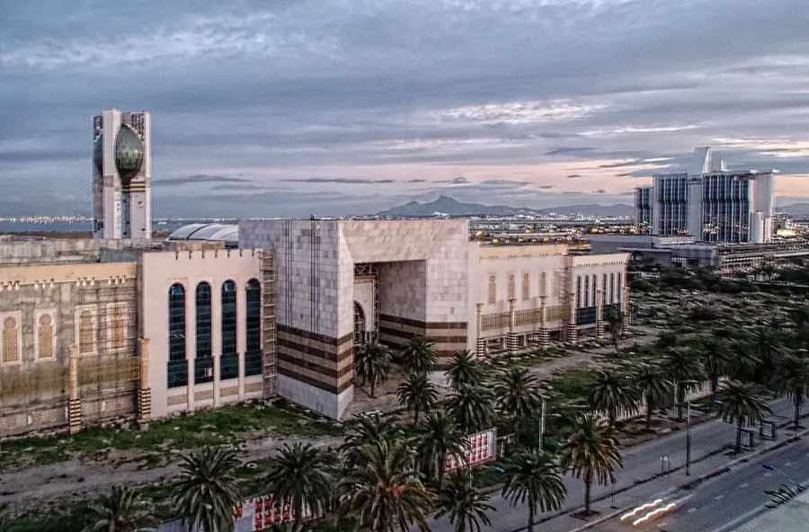
Nearby cities

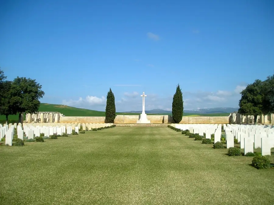
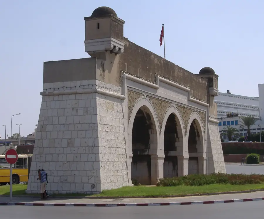
History & landmarks
Nature
More places