Plizio Visual Lab
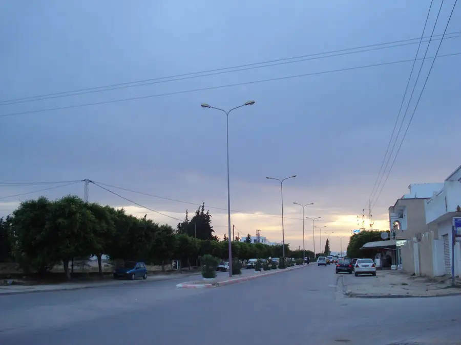
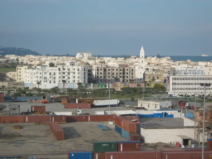
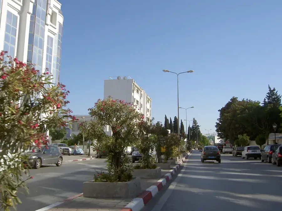
Djebel Zaghouan
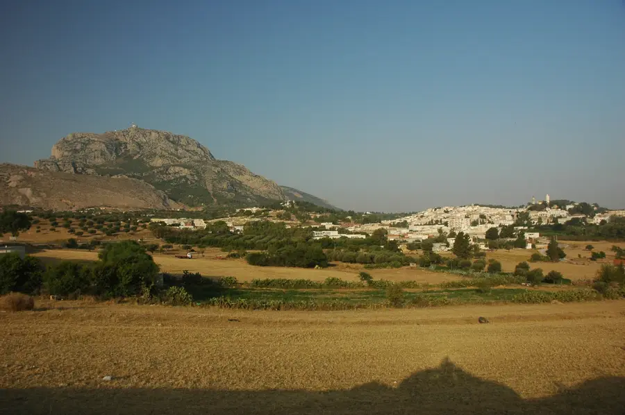
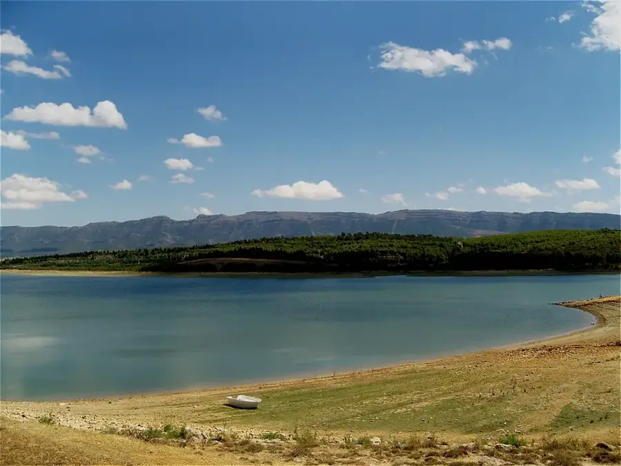
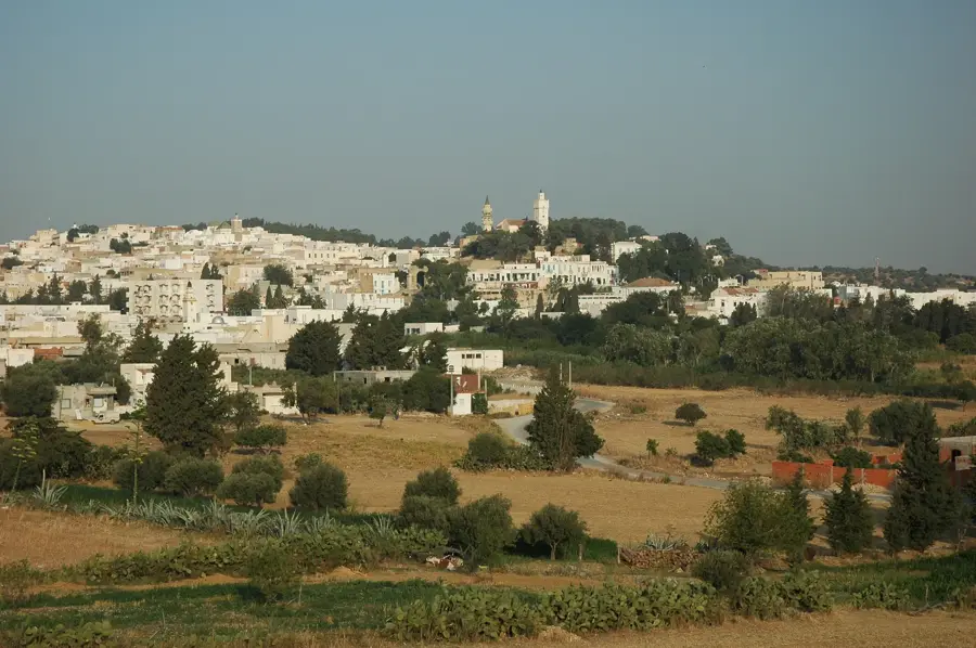
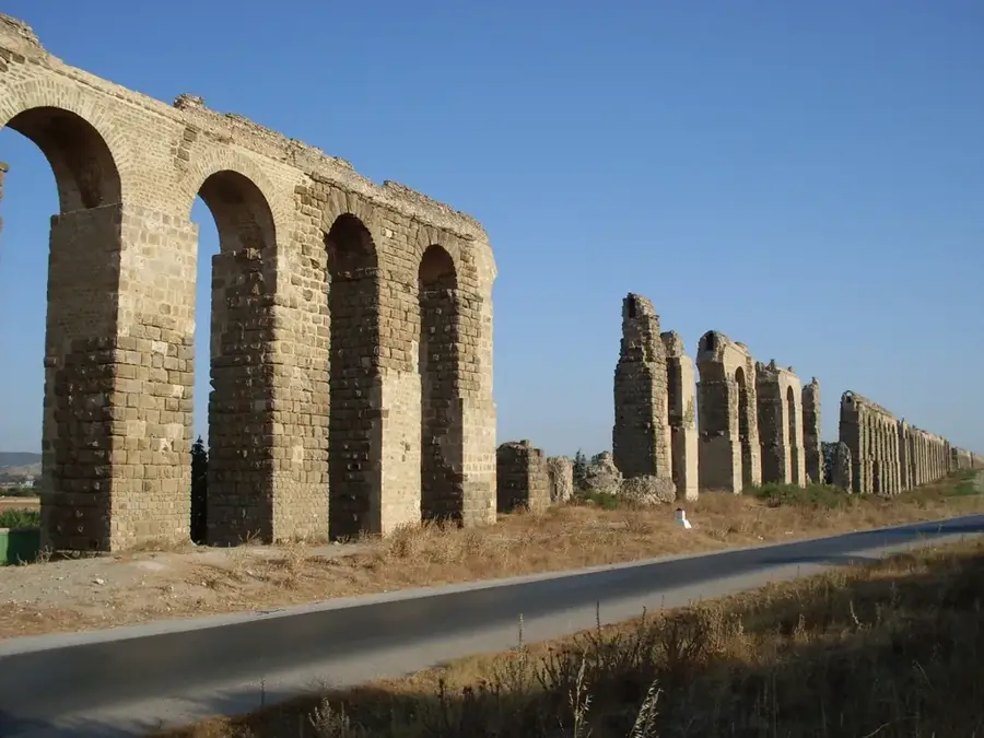
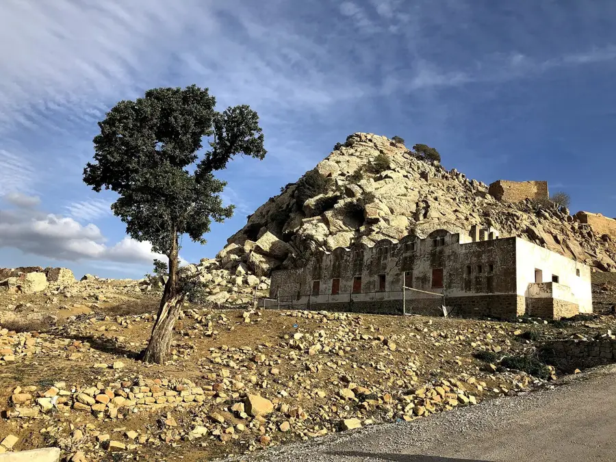
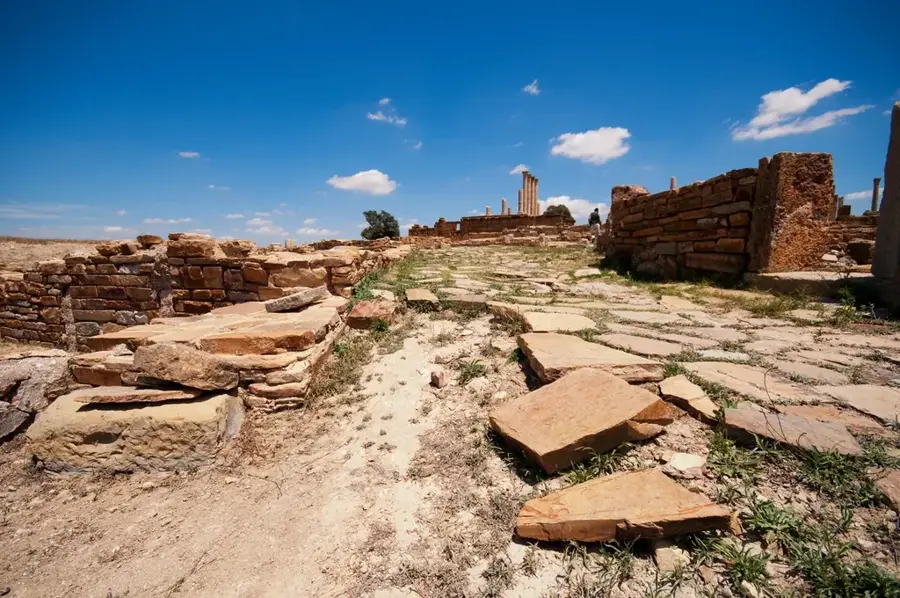
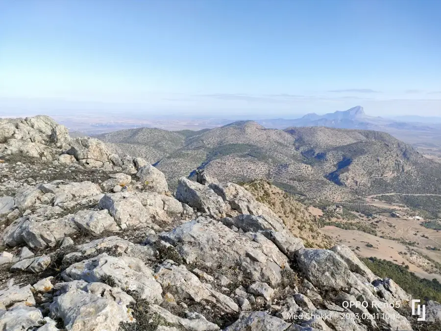
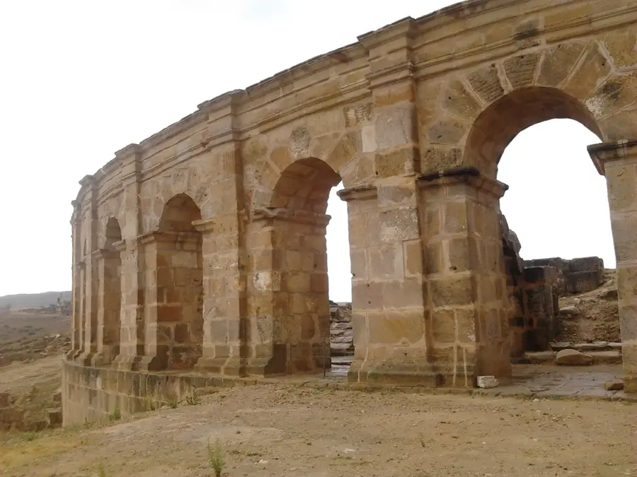
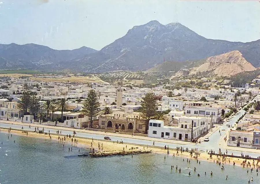
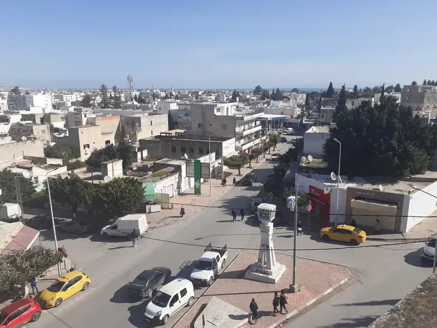
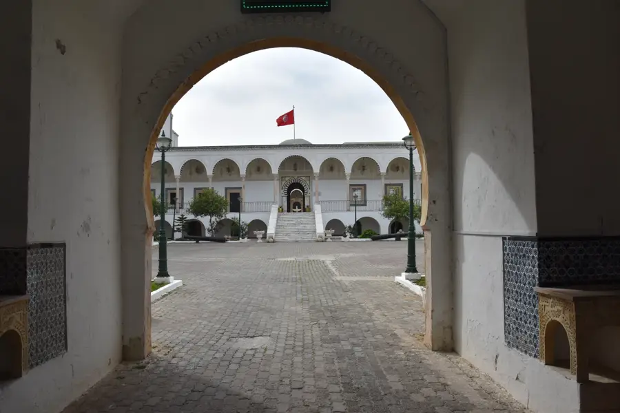
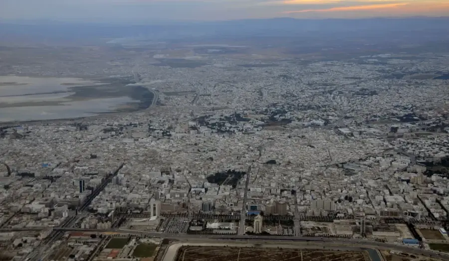
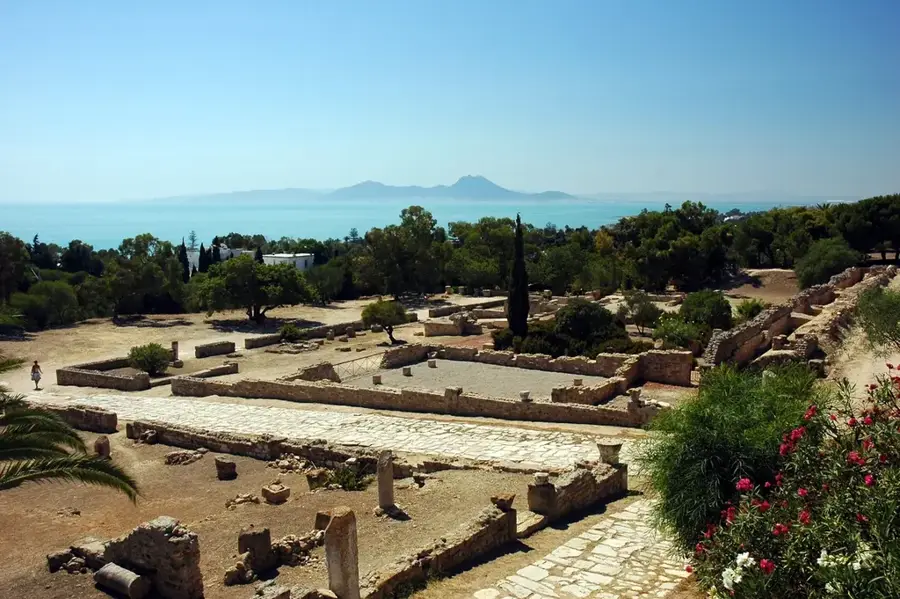
Djebel Zaghouan is a striking limestone mountain in northeastern Tunisia, reaching a maximum elevation of 1295 meters. It marks the northeastern end of the Tunisian Dorsal and is geologically characterized by rugged cliffs and karst formations. Historically, the mountain is of paramount importance as it served as the primary water source for the city of Carthage during Roman antiquity. Under Emperor Hadrian, a monumental Water Temple was built here, serving as the starting point for the longest aqueduct in the Roman Empire, which stretched over 130 kilometers to Carthage. The mountain's flora includes rare orchid species and dense stands of holm oak and pine. Thanks to its steep faces, Djebel Zaghouan is a popular destination for hikers and climbers today. The town of Zaghouan at the mountain's foot is also famous for its rose water production and thermal springs, both deriving from the massif's abundant water resources.
- Location: Tunisia
- Top sights: Abbir Maius · Djebel Zaghouan
- Nearby: Enfidha (35 km)
Best time to visit & climate
The most pleasant time to visit is May, Jun, Oct.
| Jan | Feb | Mar | Apr | May | Jun | Jul | Aug | Sep | Oct | Nov | Dec | |
|---|---|---|---|---|---|---|---|---|---|---|---|---|
| Avg °C | 10 | 10 | 13 | 16 | 20 | 25 | 29 | 29 | 24 | 20 | 15 | 11 |
| Rain mm | 59 | 45 | 62 | 51 | 35 | 21 | 8 | 23 | 61 | 60 | 50 | 60 |
📋 Practical info
Geography
Facts
- Djebel Zaghouan stands at 1295 meters high.
- It hosts the spring for the Roman aqueduct to Carthage.
- The aqueduct was 132 km long, one of the longest in antiquity.
- The 'Water Temple' was built in the 2nd century AD.
- The rock consists almost entirely of Jurassic limestone.
- The town of Zaghouan is famous for its traditional rose water.
Explore nearby
Notable places around
Route planner — Car & Motorhome
Where do you start? We build the route here, with stops and country notes along the way.
© OpenStreetMap contributors · OpenRouteService
Sights in the town Djebel Zaghouan (2)
Sights nearby
Frequently asked questions
How difficult is hiking up Djebel Zaghouan?
Are there parking facilities at the starting point?
Is the trail suitable for children?
Is there a high risk due to weather changes?
Are there any toilet facilities there?
Djebel Zaghouan: where is it located?
Djebel Zaghouan: what is there to see?
Djebel Zaghouan: when is the best time to visit?
Djebel Zaghouan: why is it worth visiting?

Nearby cities
History & landmarks
Nature
More places