Plizio Visual Lab
Mount Atilakoutsé
Weather…
Water temperature…
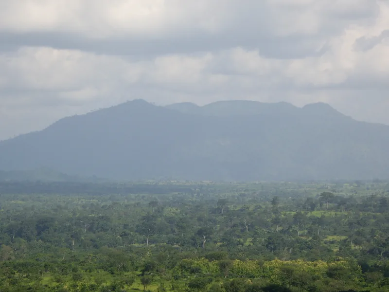
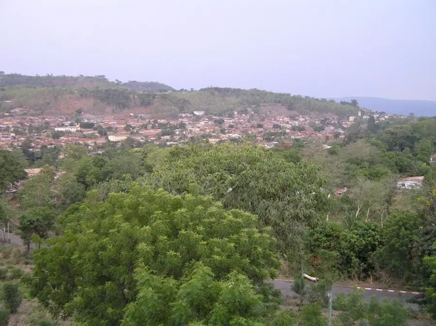
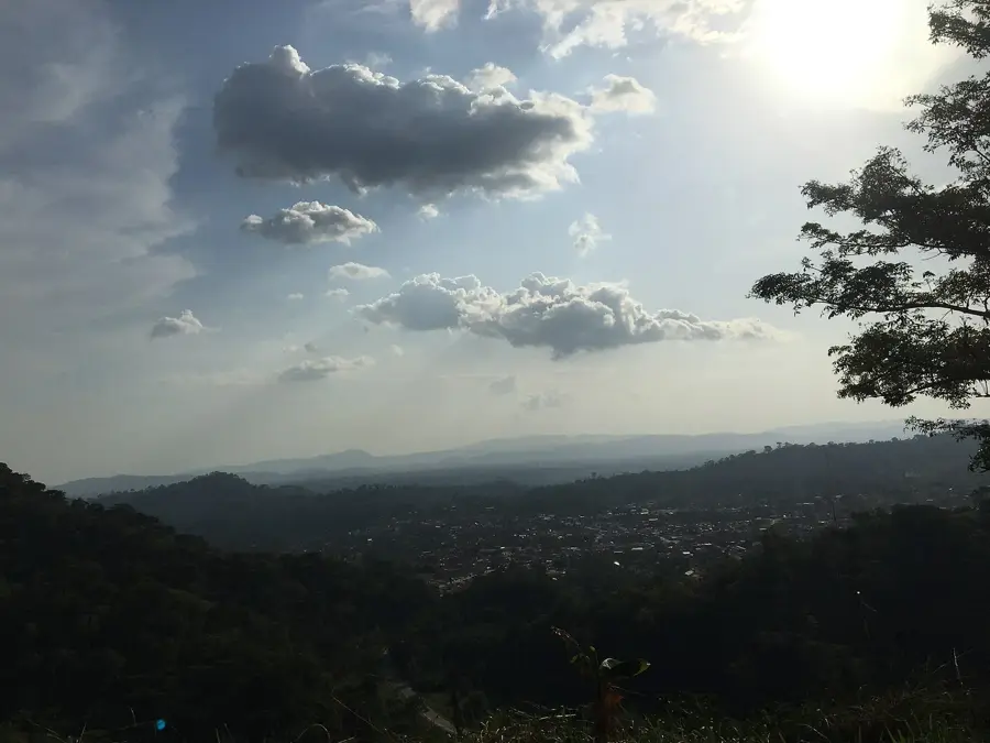
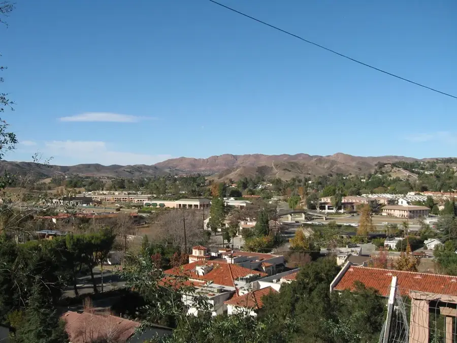
Mount Atilakoutsé is one of the most distinctive peaks in the Plateaux Region of southwestern Togo, near the border with Ghana. Standing at approximately 852 meters, it towers over the surroundings of Kpalimé and belongs to the Danyi Plateau system. The massif is renowned for its steep climbs and dense cloud forests that frequently envelop the summit. The ecological significance of the mountain lies in its role as a watershed and reservoir for local river systems. Geologically, it consists of resistant quartzite formations that have defied erosion over eons. The slopes are terraced and utilized by the local population for growing vegetables, fruits, and upland rice, benefitinf from the cooler temperatures at this altitude. During the colonial era, the mountain was favored for its pleasant climate, and there are currently efforts to develop the region as a destination for sustainable tourism. The flora includes numerous orchid species and ferns that thrive in the humid atmosphere.
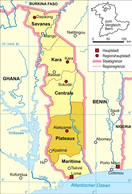
- Location: Togo
- Nearby: Amou-Oblo (29 km)
Best time to visit & climate
The most pleasant time to visit is Jan, Nov, Dec.
| Jan | Feb | Mar | Apr | May | Jun | Jul | Aug | Sep | Oct | Nov | Dec | |
|---|---|---|---|---|---|---|---|---|---|---|---|---|
| Avg °C | 25 | 26 | 27 | 26 | 26 | 25 | 24 | 24 | 24 | 25 | 25 | 25 |
| Rain mm | 14 | 25 | 69 | 109 | 141 | 185 | 233 | 181 | 236 | 152 | 25 | 10 |
📋 Practical info
Geography
Facts
- The summit reaches an elevation of 852 meters.
- It geologically belongs to the Dahomeyan unit of the Atakora range.
- The mountain is located in the Kloto Prefecture.
- The Danyi Plateau directly adjoins the massif.
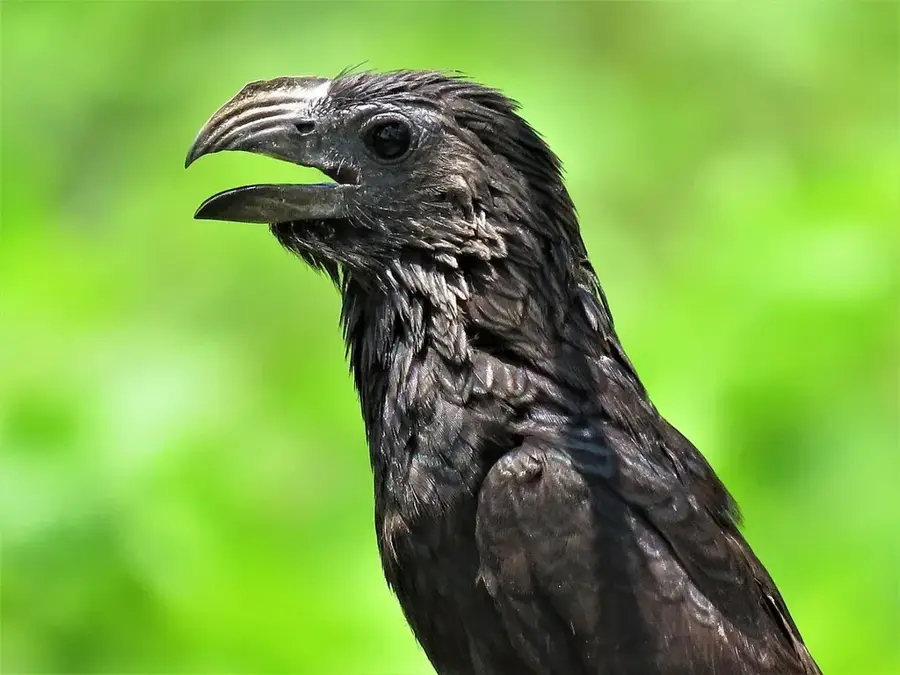
- It is an important sanctuary for rare highland bird species.
- The annual rainfall rate is among the highest in Togo.
Explore nearby
Notable places around
Route planner — Car & Motorhome
Where do you start? We build the route here, with stops and country notes along the way.
© OpenStreetMap contributors · OpenRouteService
Sights nearby
Frequently asked questions
What is special about Mount Atilakoutsé?
Is the trail marked?
Can you hike there?
Best time to travel?
What should I bring?
Mount Atilakoutsé: where is it located?
Mount Atilakoutsé: when is the best time to visit?
Mount Atilakoutsé: why is it worth visiting?

Nearby cities
History & landmarks
Nature
More places