Plizio Visual Lab
Sio River
Weather…
Water temperature…
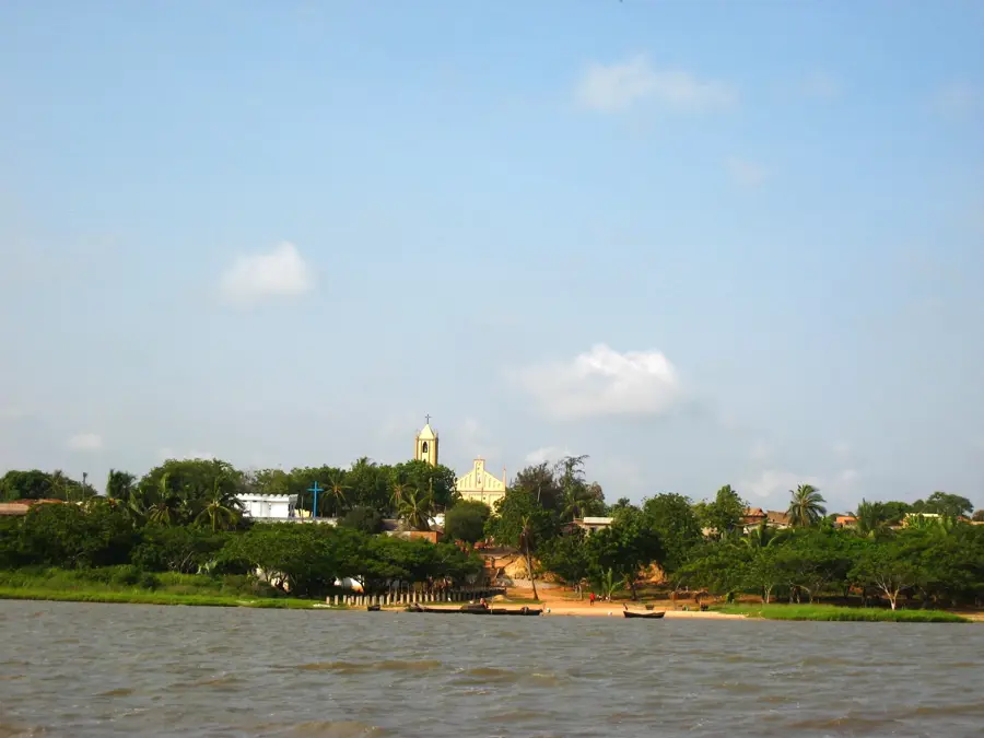
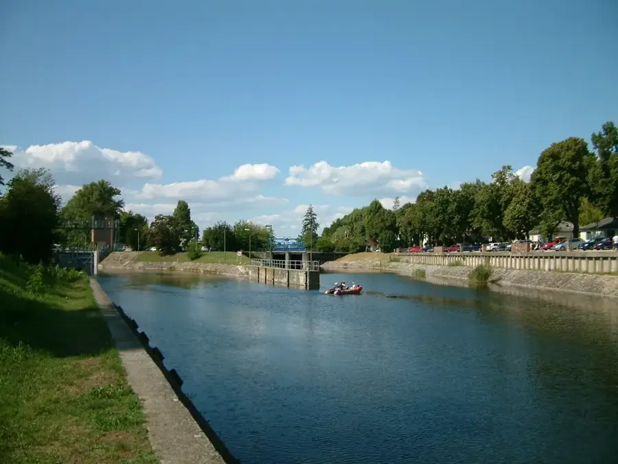
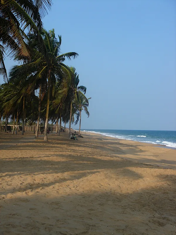
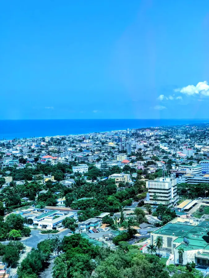
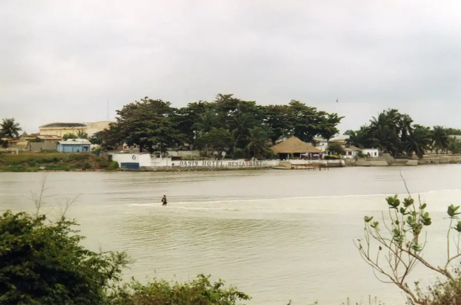
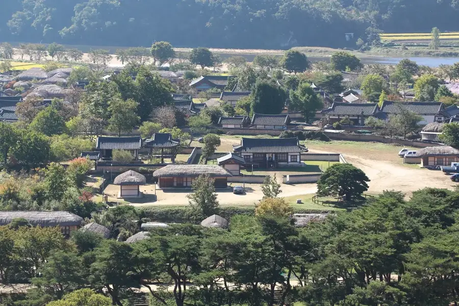
The Sio River is a key watercourse in southern Togo, essential for the hydrology of the coastal region and the water supply of the capital, Lomé. Originating in the lush highlands west of Kpalimé, near the Ghanaian border, it flows southeast for approximately 120 kilometers. The river eventually empties into Lake Togo, which it sustains alongside the Haho River. The Sio valley is one of Togo's most productive agricultural zones, specifically renowned for its intensive rice cultivation supported by government irrigation schemes. Geographically, the river winds through low-lying plains characterized by seasonal wetlands and dense riparian vegetation. Historically, the Sio River was a vital corridor for trade and migration for the Ewe ethnic group in southern Togo. Today, it serves as a primary source of freshwater for thousands of farmers and urban residents, while its lower reaches provide critical habitats for migratory aquatic birds. Management of the Sio's watershed is crucial for preventing siltation in Lake Togo and ensuring sustainable urban development.
- Location: Togo
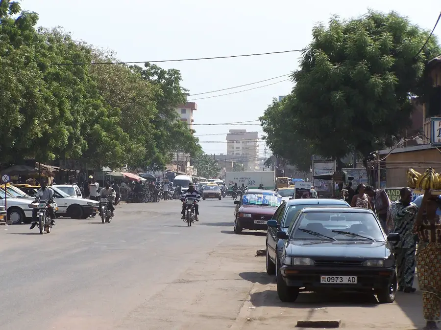
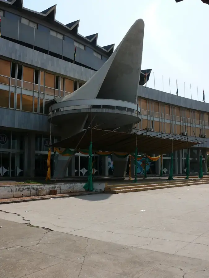
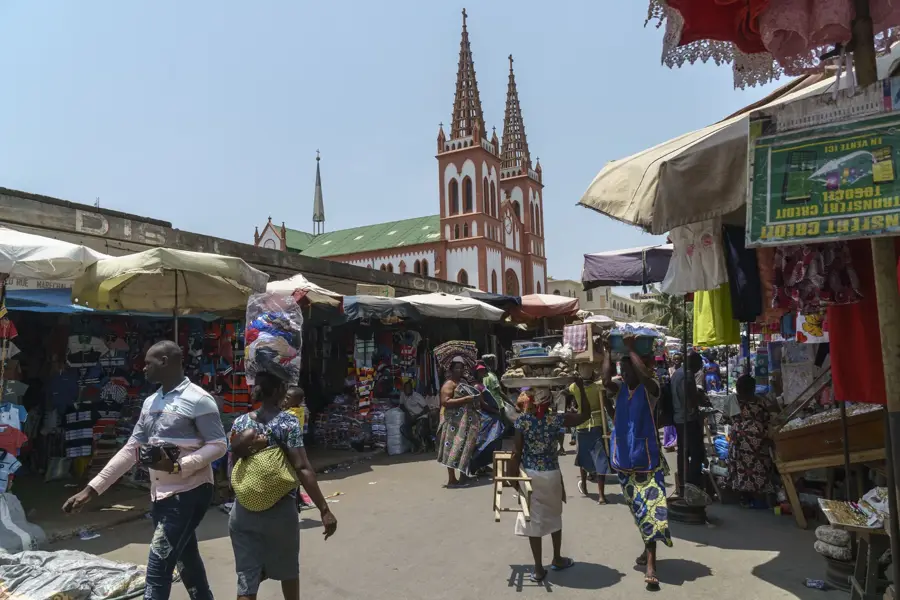
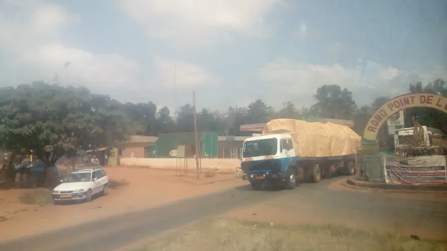
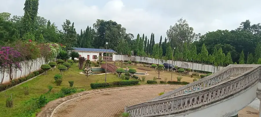
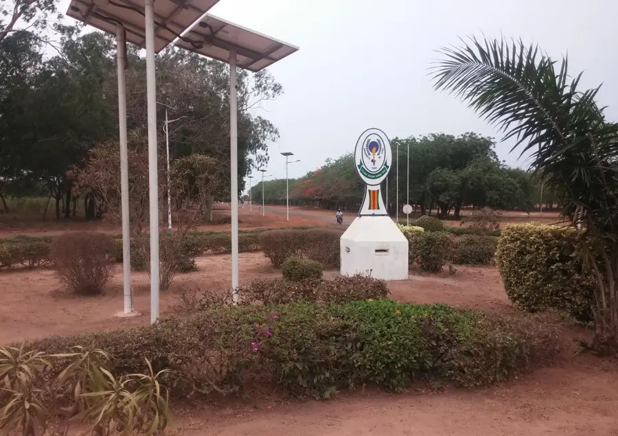
- Top sights: Yesuvito (Rond point) · Monument de l'indépendance · ferme d'Aquaculture La Main de Dieu
- Nearby: Tsévié (19 km)
Best time to visit & climate
The most pleasant time to visit is Jan, Nov, Dec.
| Jan | Feb | Mar | Apr | May | Jun | Jul | Aug | Sep | Oct | Nov | Dec | |
|---|---|---|---|---|---|---|---|---|---|---|---|---|
| Avg °C | 27 | 29 | 28 | 28 | 27 | 26 | 25 | 25 | 25 | 26 | 27 | 27 |
| Rain mm | 14 | 31 | 77 | 105 | 148 | 172 | 144 | 95 | 168 | 138 | 35 | 15 |
📋 Practical info
Geography
Facts
- The Sio River flows for approximately 120 kilometers through southern Togo.
- It is one of the two primary rivers feeding into Lake Togo.
- The Sio valley is considered the primary 'rice bowl' of Togo.
- It supplies a significant portion of the domestic water for Lomé.
- The river originates in the Dayes Plateau near Kpalimé.
- Extensive floodplains along the Sio are critical for local biodiversity.
Explore nearby
Notable places around
Route planner — Car & Motorhome
Where do you start? We build the route here, with stops and country notes along the way.
© OpenStreetMap contributors · OpenRouteService
Sights in the town Sio River (4)
Sights nearby
Frequently asked questions
What is the importance of the Sio River?
Can you cross the river easily?
What is the best time of day for a visit?
Are there picnic opportunities?
Is the water suitable for swimming?
Sio River: where is it located?
Sio River: what is there to see?
Sio River: when is the best time to visit?
Sio River: why is it worth visiting?

Nearby cities

History & landmarks

Nature
More places