Plizio Visual Lab
Hato Builico Valley

Weather…
Water temperature…
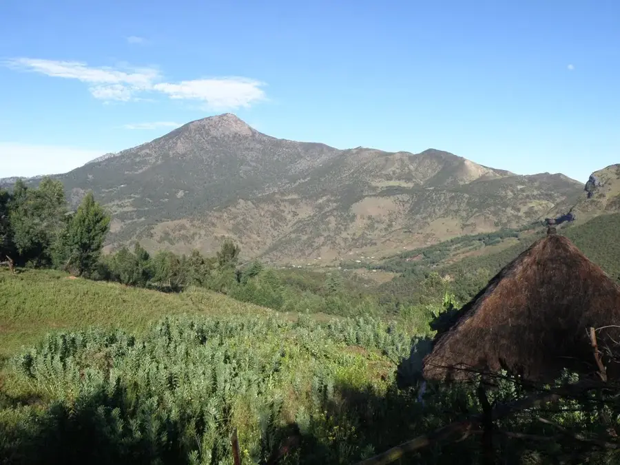
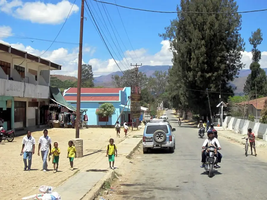
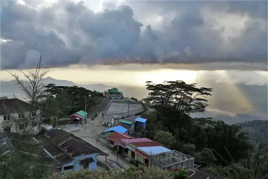
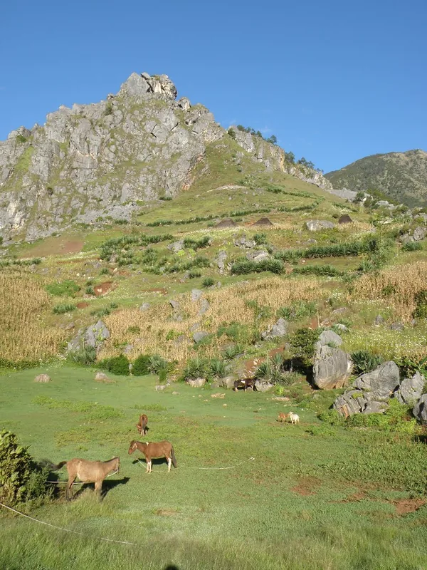
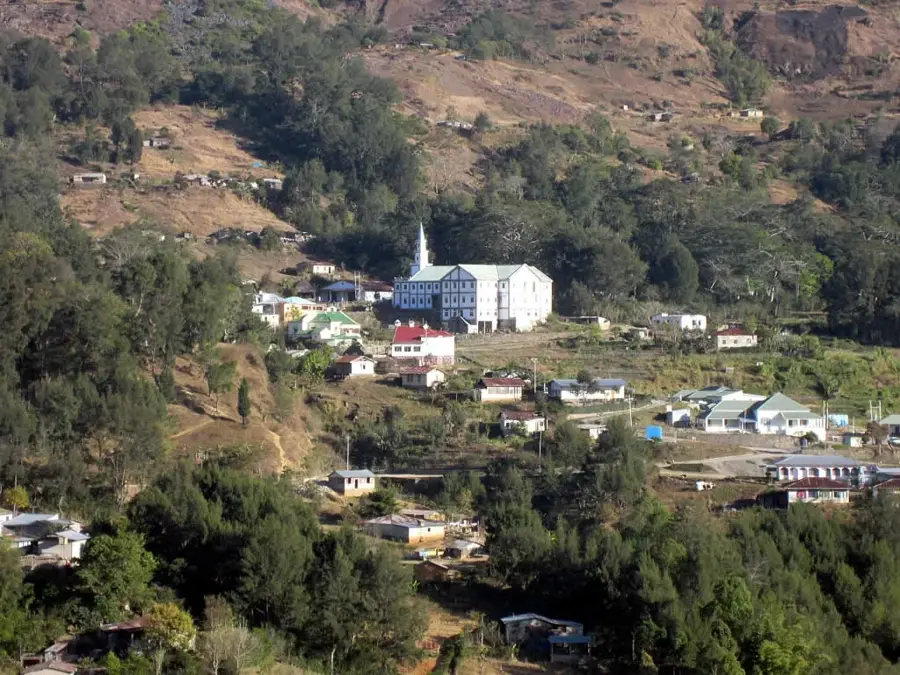
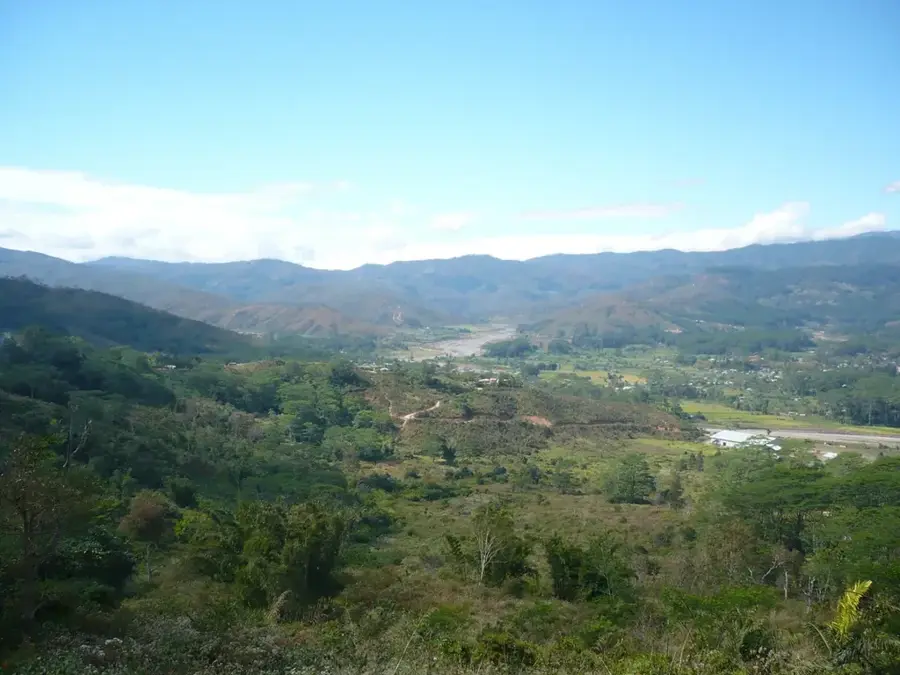
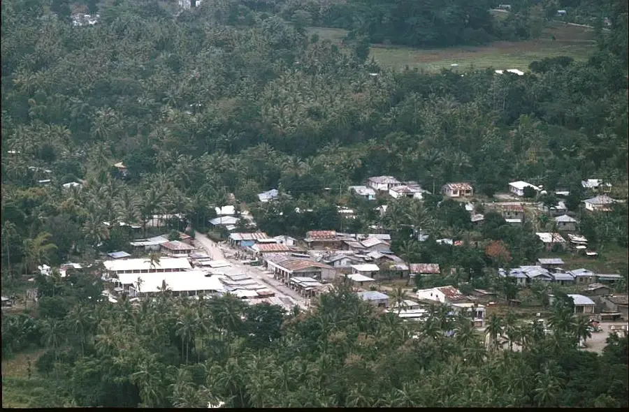
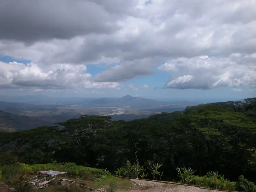
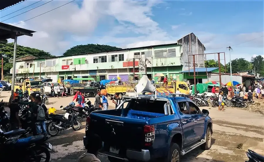
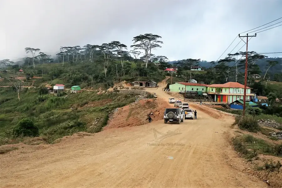
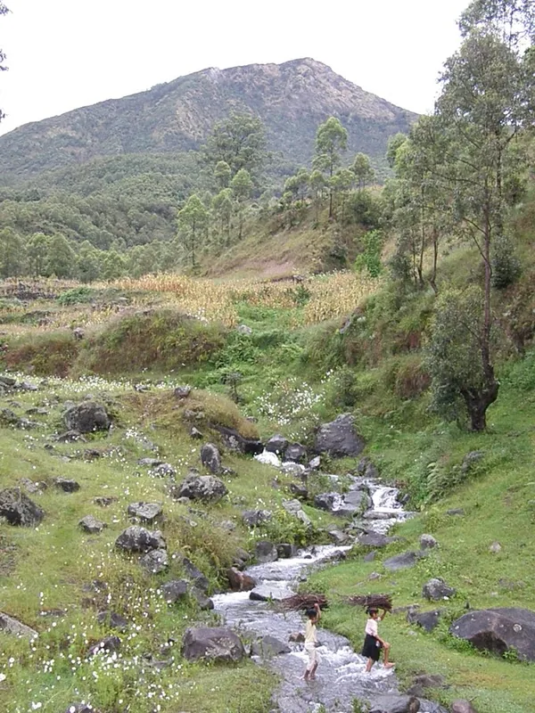
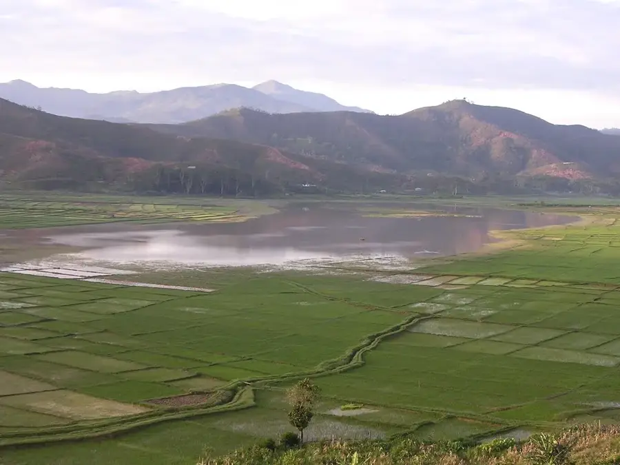
The Hato Builico Valley is located in the Ainaro District at an altitude of over 1,900 meters, making it the highest inhabited valley in Timor-Leste. It serves as the primary gateway for climbing Mount Ramelau, the country's tallest peak. The valley's climate is significantly cooler than the rest of the country due to its elevation, allowing for the cultivation of crops otherwise atypical for the tropics, such as potatoes and cabbage. Geographically, the valley is framed by majestic peaks and deep ravines, often shrouded in thick mist. During the Portuguese colonial era, Hato Builico was a favored mountain retreat for administrative officials. The town's architecture still displays distinct colonial influences combined with traditional Timorese elements. Residents primarily rely on highland agriculture and the burgeoning mountain tourism industry.
- Location: Timor-Leste
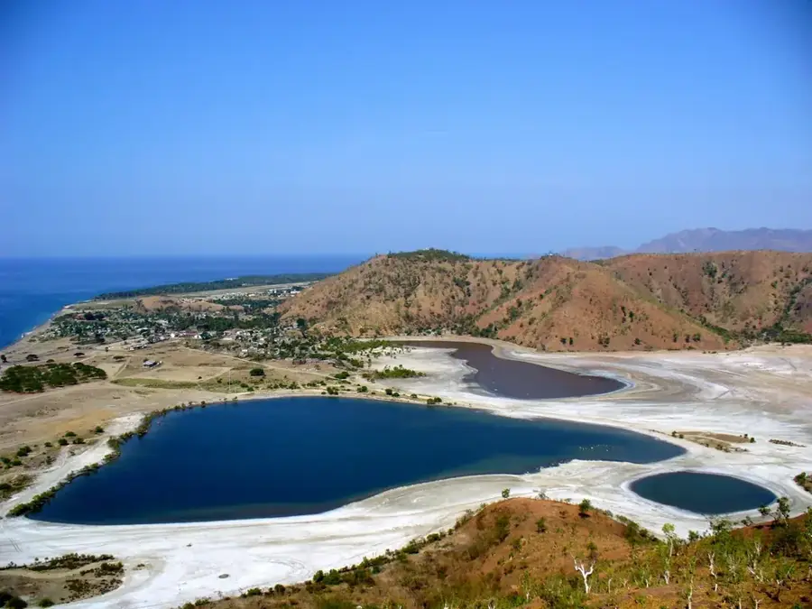
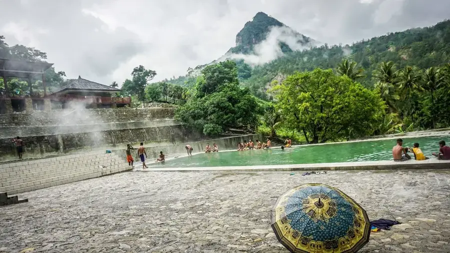
- Top sights: No way · Mt. Ramelau Gate (end of the jeep track) · Dokomali Falls
- Nearby: Ainaro (6 km)
Best time to visit & climate
The most pleasant time to visit is Jul–Sep.
| Jan | Feb | Mar | Apr | May | Jun | Jul | Aug | Sep | Oct | Nov | Dec | |
|---|---|---|---|---|---|---|---|---|---|---|---|---|
| Avg °C | 24 | 23 | 23 | 23 | 22 | 21 | 21 | 21 | 22 | 24 | 25 | 25 |
| Rain mm | 242 | 205 | 126 | 55 | 37 | 23 | 10 | 4 | 5 | 13 | 57 | 173 |
📋 Practical info
Geography
Facts
- Hato Builico is located approximately 120 kilometers south of the capital, Dili.
- The valley is situated at the base of Mount Ramelau (Tatamailau).
- Average temperatures can drop below 10 degrees Celsius at night.
- The town was a strategically important point during the independence war.
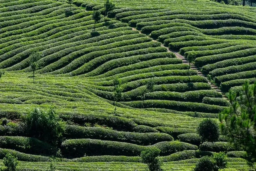
- It is a center for the cultivation of high-quality organic Arabica coffee.
- The pilgrimage to the statue of the Virgin Mary on Mount Ramelau starts here.
Explore nearby
Notable places around
Route planner — Car & Motorhome
Where do you start? We build the route here, with stops and country notes along the way.
© OpenStreetMap contributors · OpenRouteService
Sights in the town Hato Builico Valley (3)
Sights nearby
Frequently asked questions
What is special about the Hato-Builico valley?
How do you get to the valley?
Are there accommodations there?
Is it suitable for families?
What is the weather like there?
Hato Builico Valley: where is it located?
Hato Builico Valley: what is there to see?
Hato Builico Valley: when is the best time to visit?
Hato Builico Valley: why is it worth visiting?

Nearby cities

History & landmarks

Nature

More places