Plizio Visual Lab
Mount Meru
Weather…
Water temperature…
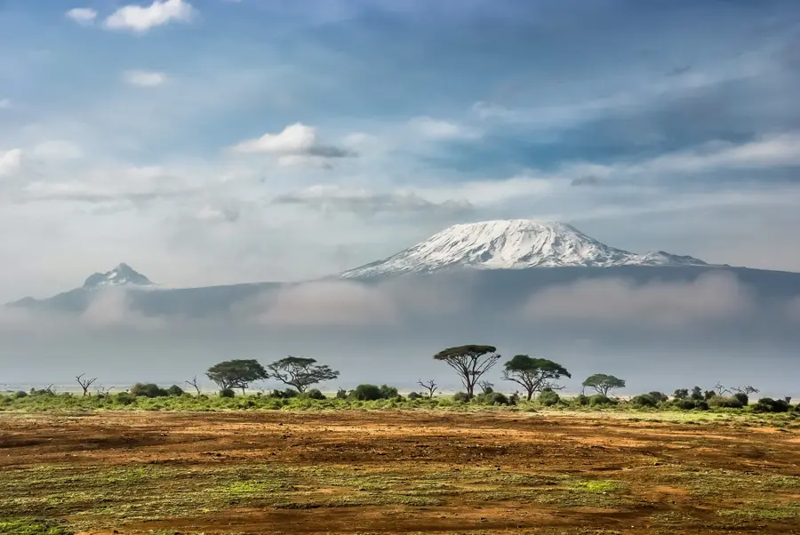
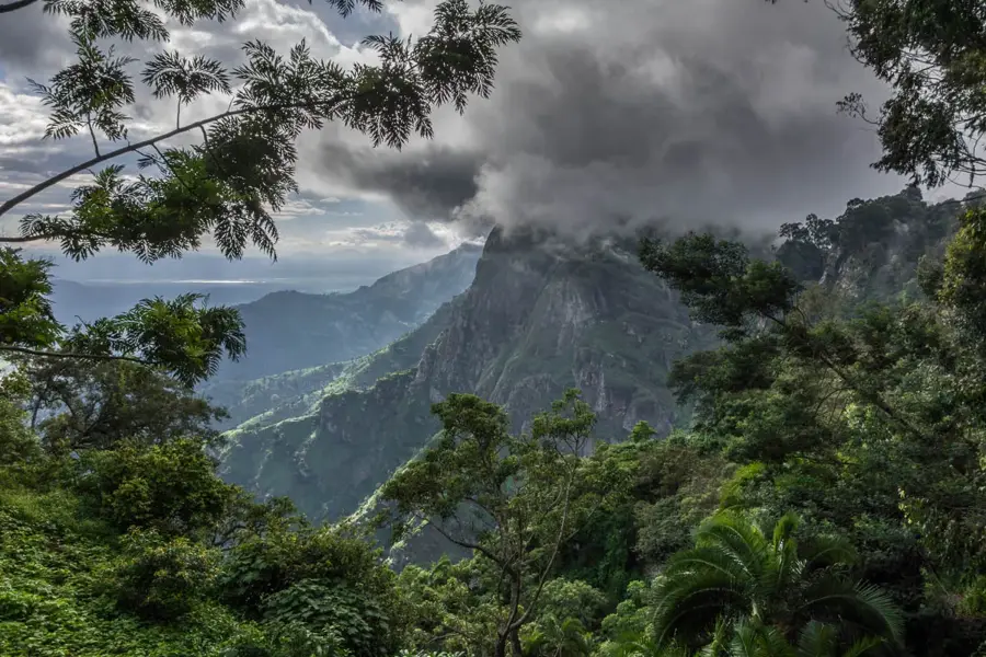
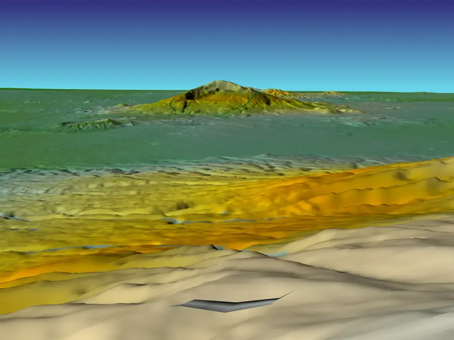
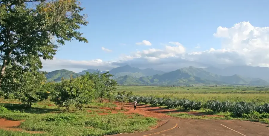
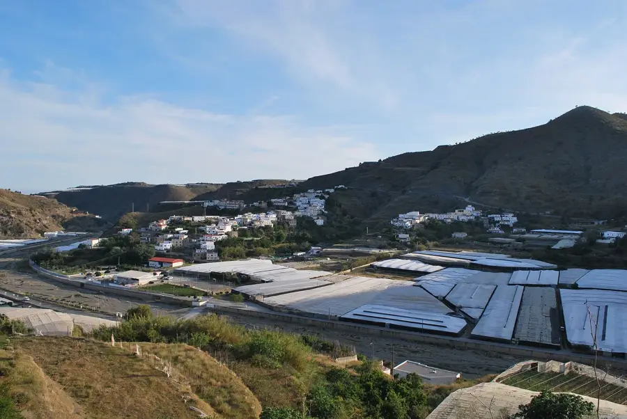
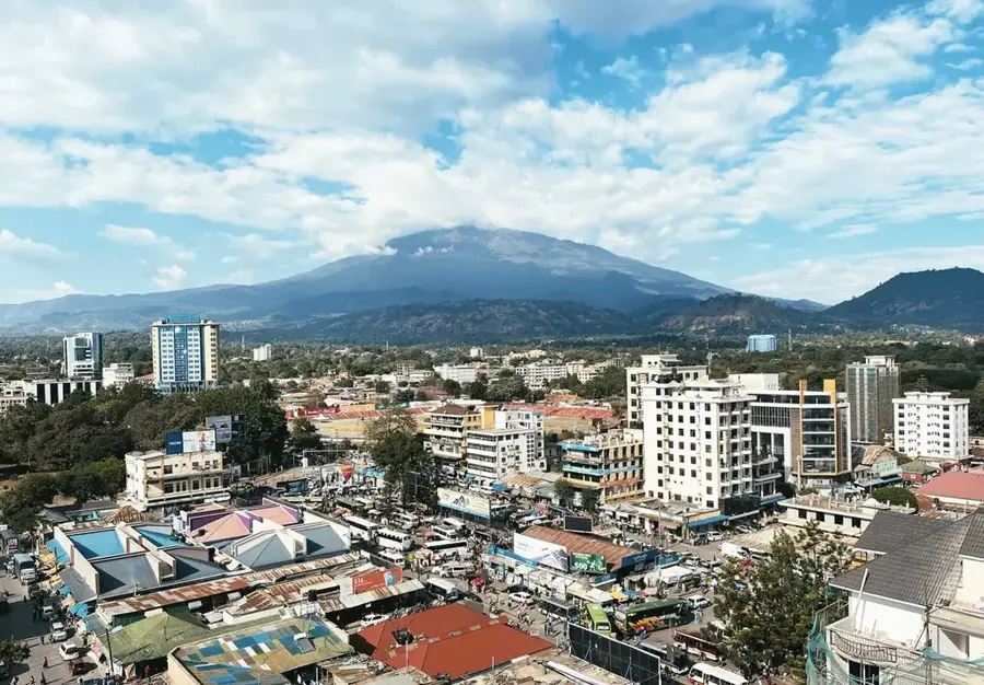
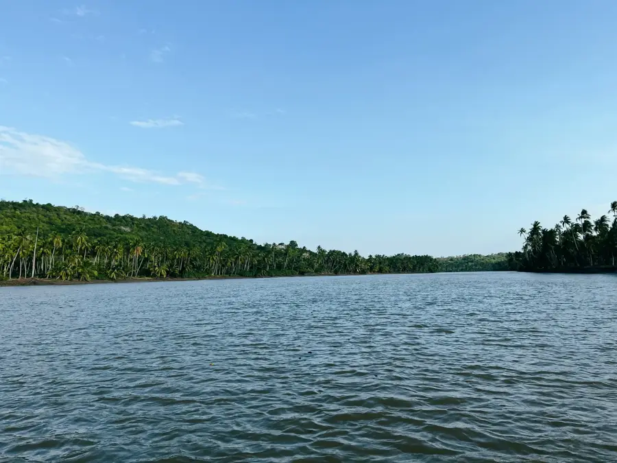
Mount Meru, rising to 4,562 meters, is Tanzania's second-highest mountain and is located approximately 70 kilometers west of Mount Kilimanjaro within Arusha National Park. This active stratovolcano is characterized by its prominent horseshoe-shaped caldera, formed during a massive eruption about 7,800 years ago that blasted away the entire eastern flank of the mountain. The summit is officially named Socialist Peak and provides a spectacular vantage point for viewing neighboring Kilimanjaro. Geologically, Mount Meru is part of the East African Rift system and remains volcanically active, with its last minor eruption occurring in 1910. The lower slopes are covered in dense montane rainforest, which transitions into heathland and eventually barren rocky terrain at higher elevations. It serves as a popular acclimatization trek for climbers preparing for Kilimanjaro, though its steep ridges offer a more technically demanding ascent.
- Location: Tanzania
- Nearby: Arusha (15 km)
Best time to visit & climate
The most pleasant time to visit is Jul–Sep.
| Jan | Feb | Mar | Apr | May | Jun | Jul | Aug | Sep | Oct | Nov | Dec | |
|---|---|---|---|---|---|---|---|---|---|---|---|---|
| Avg °C | 22 | 22 | 23 | 21 | 20 | 18 | 18 | 19 | 21 | 22 | 22 | 22 |
| Rain mm | 108 | 105 | 135 | 230 | 185 | 56 | 37 | 37 | 38 | 130 | 222 | 191 |
📋 Practical info
Geography
Facts
- Height of Socialist Peak: 4,562 meters
- Location: Arusha National Park, Tanzania
- Year of last eruption: 1910
- Caldera formation: 7,800 years ago
- Distance to Kilimanjaro: approx. 70 km
- Type: active stratovolcano
Explore nearby
Notable places around
Route planner — Car & Motorhome
Where do you start? We build the route here, with stops and country notes along the way.
© OpenStreetMap contributors · OpenRouteService
Sights in the town Mount Meru (1)
Sights nearby
Frequently asked questions
Is Mount Meru more difficult than Kilimanjaro?
How long does a trek take?
Are there animals on the mountain?
Do I need an armed ranger?
When is the best time for climbing?
Mount Meru: where is it located?
Mount Meru: when is the best time to visit?
Mount Meru: why is it worth visiting?

Nearby cities
History & landmarks
Nature
More places