Plizio Visual Lab
Fort Sommelsdijk
Weather…
Water temperature…
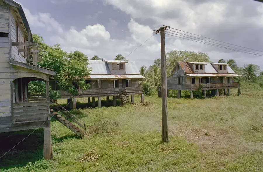
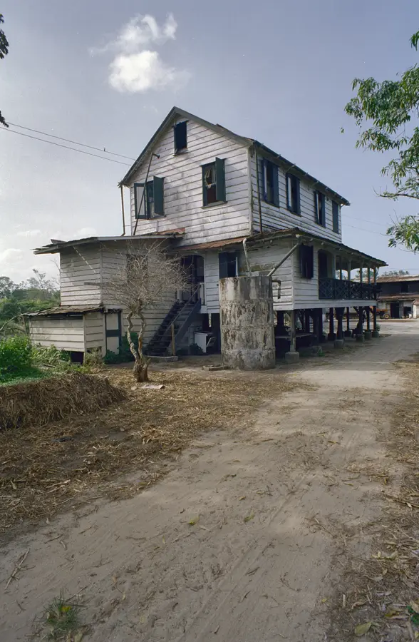
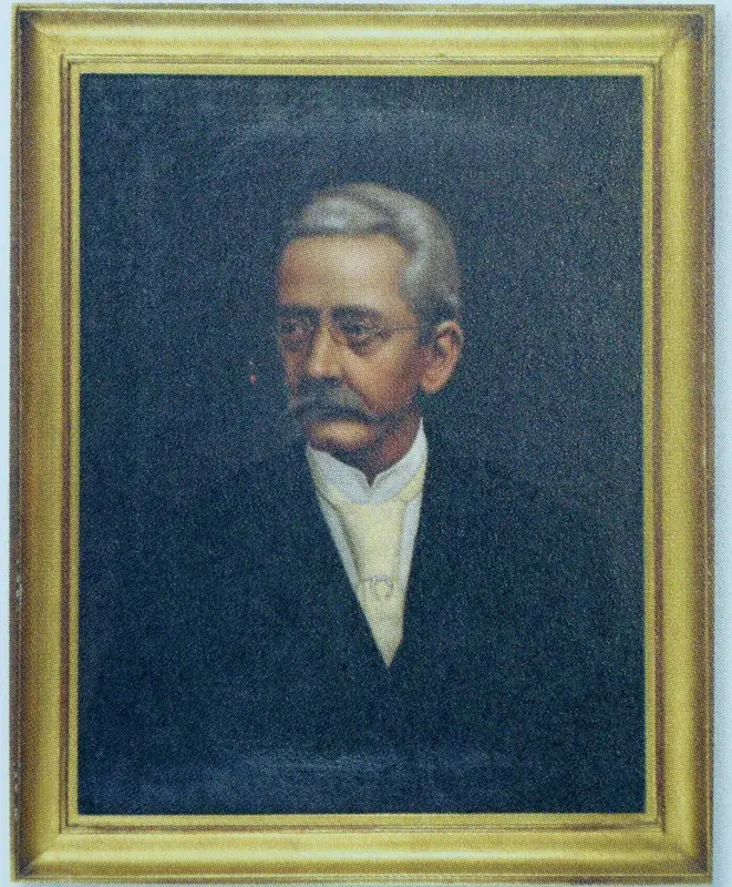
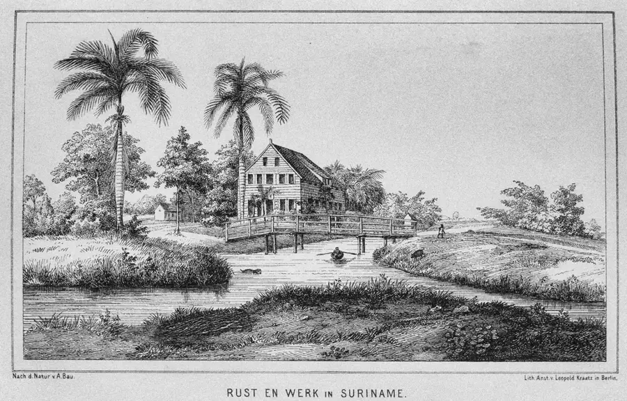
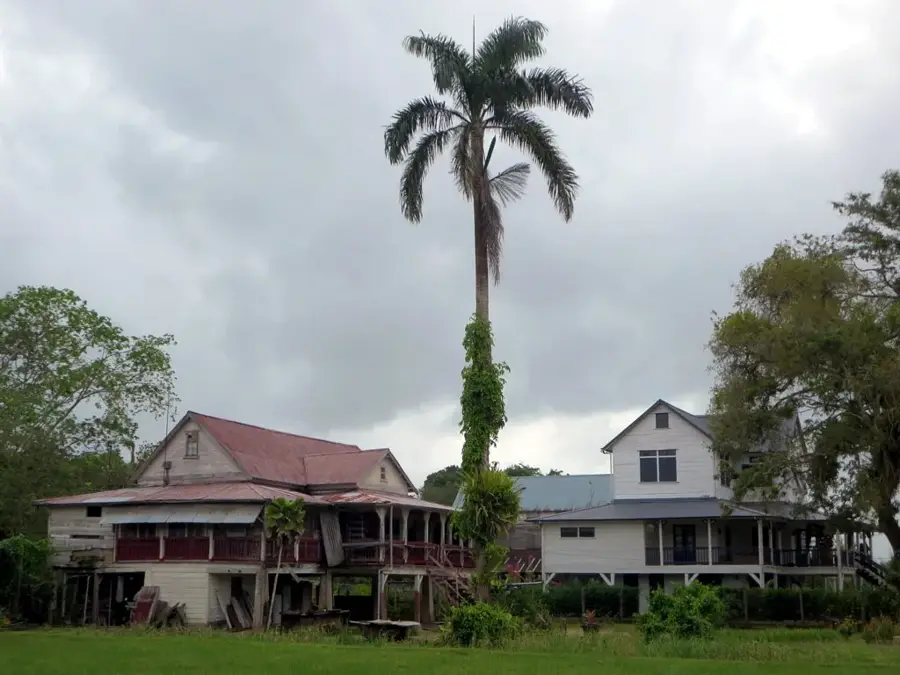
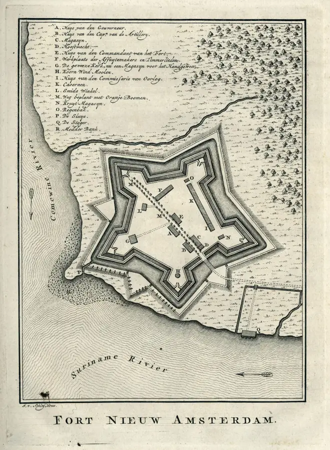
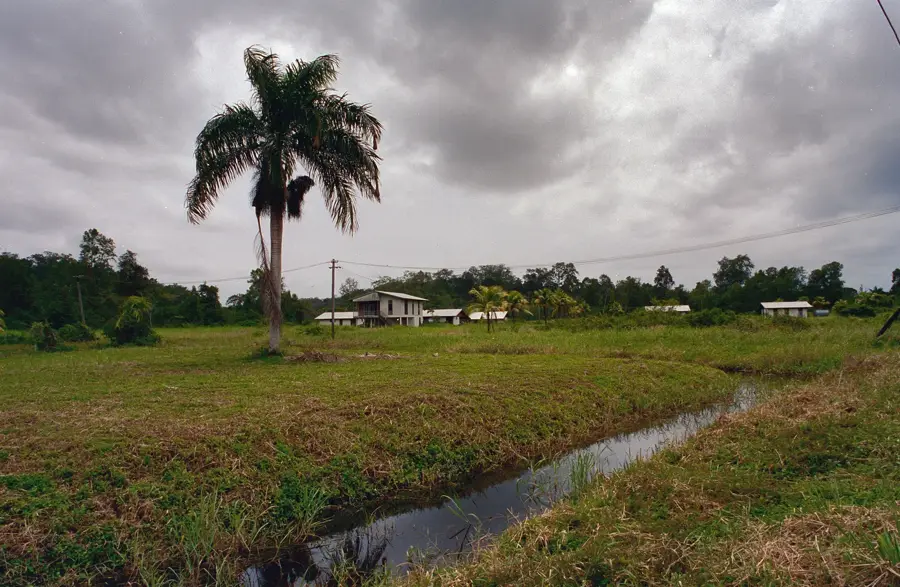
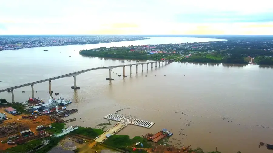
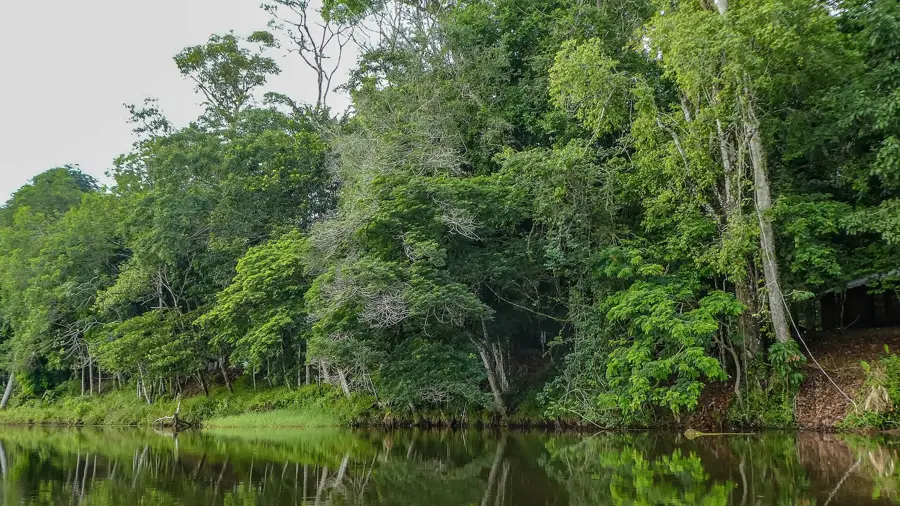
Fort Sommelsdijk was a military fortification located at the confluence of the Commewijne and Suriname rivers. Established in 1684 by Governor Cornelis van Aerssen van Sommelsdijck, the fort was built to protect the upstream plantations from attacks by pirates and rival European colonial powers. The fort featured a strategic pentagonal layout and was armed with cannons to control river traffic. By 1715, it was decommissioned as a primary fortress when Fort Nieuw-Amsterdam took over its strategic defensive role. Later, in 1853, the site was repurposed as a hospital and leper colony, adding a somber layer to its historical narrative. Today, only a few ruins of walls and trenches remain hidden within the dense tropical forest, yet they stand as significant archaeological remains of the early colonial defense system in Suriname.
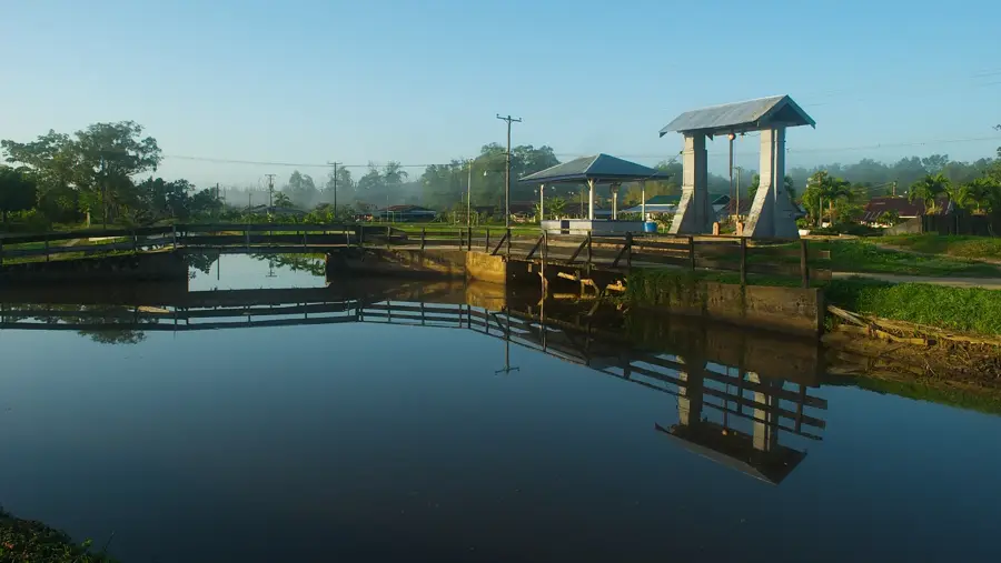
- Location: Suriname
- Top sights: Kronenburg dock · Plantage Katwijk · Masdjid Islam Sumarah
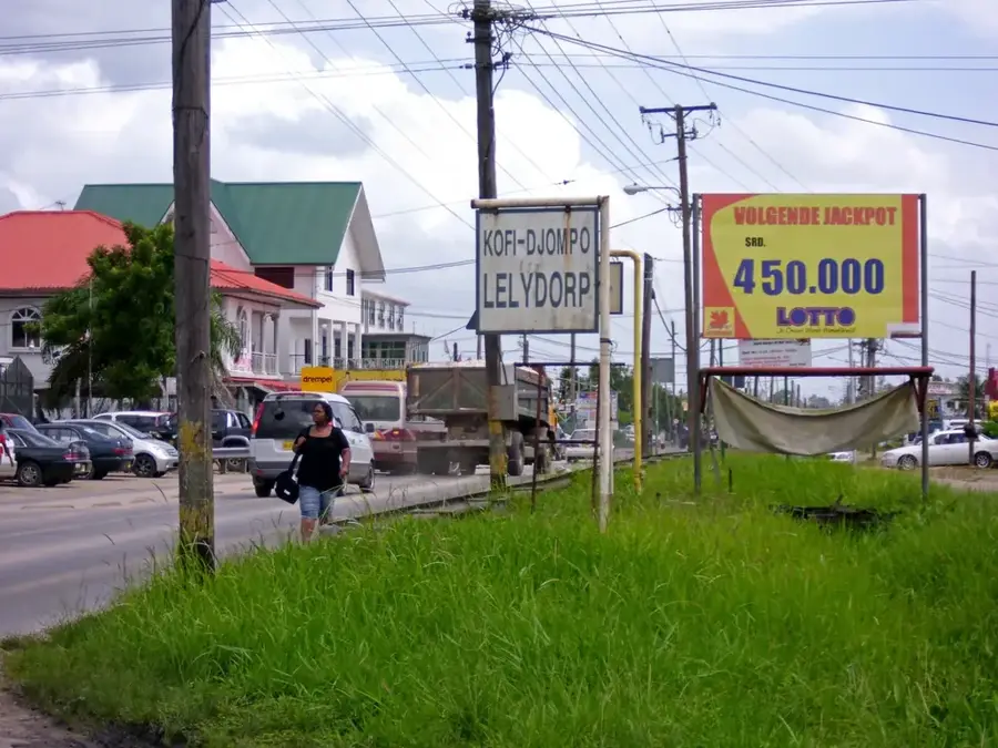
- Nearby: Lelydorp (30 km)
Best time to visit & climate
The most pleasant time to visit is Sep–Nov.
| Jan | Feb | Mar | Apr | May | Jun | Jul | Aug | Sep | Oct | Nov | Dec | |
|---|---|---|---|---|---|---|---|---|---|---|---|---|
| Avg °C | 26 | 26 | 26 | 27 | 27 | 26 | 27 | 27 | 28 | 28 | 28 | 27 |
| Rain mm | 142 | 116 | 111 | 194 | 286 | 251 | 190 | 105 | 53 | 51 | 81 | 165 |
📋 Practical info
Geography
Facts
- Founded in the year 1684
- Named after Governor van Sommelsdijck
- Featured a pentagonal defensive layout
- Decommissioned as a fort in 1715
- Used as a leper colony starting in 1853
- Located at the mouth of the Commewijne River
Explore nearby
Notable places around
Route planner — Car & Motorhome
Where do you start? We build the route here, with stops and country notes along the way.
© OpenStreetMap contributors · OpenRouteService
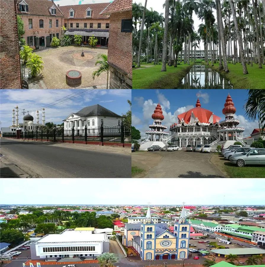
Sights in the town Fort Sommelsdijk (3)
Sights nearby
Frequently asked questions
What is Fort Sommelsdijk?
Is access allowed?
What can you see there today?
How to get to the fort?
Are there restroom facilities?
Fort Sommelsdijk: where is it located?
Fort Sommelsdijk: what is there to see?
Fort Sommelsdijk: when is the best time to visit?
Fort Sommelsdijk: why is it worth visiting?

Nearby cities
History & landmarks
More places