Plizio Visual Lab
Erkowit
Weather…
Water temperature…
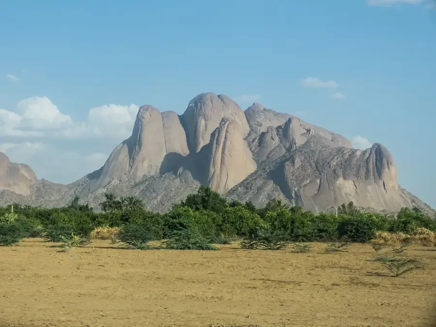
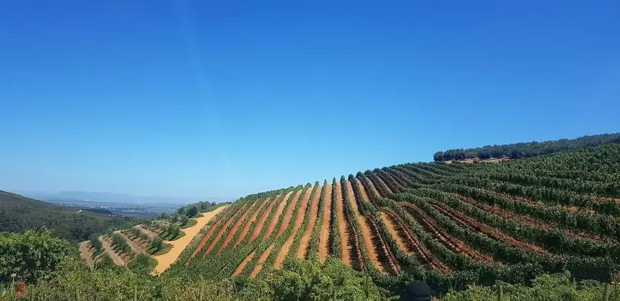
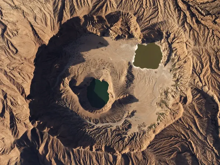
The Erkowit Plateau is located in the Red Sea State of eastern Sudan and represents the highest point of the Red Sea Hills, reaching an altitude of approximately 1200 meters. Due to its unique geographic position, the area functions as a mist oasis that captures moisture from the Red Sea, sustaining lush vegetation that contrasts sharply with the surrounding desert. Historically, Erkowit served as a prominent hill station and summer residence during the British colonial era, with some architectural remains still visible today. The flora includes rare species such as the dragon blood tree (Dracaena ombet), which thrives among the rugged granite formations. Geologically, the massif is part of the Arabian-Nubian Shield and features expansive views over the coastal plain. Today, Erkowit remains an important destination for local tourism and biodiversity research in arid environments.
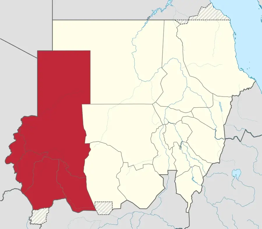
- Location: Sudan
- Nearby: Erkowit (6 km)
Best time to visit & climate
The most pleasant time to visit is Feb, Mar, Dec.
| Jan | Feb | Mar | Apr | May | Jun | Jul | Aug | Sep | Oct | Nov | Dec | |
|---|---|---|---|---|---|---|---|---|---|---|---|---|
| Avg °C | 19 | 20 | 22 | 25 | 29 | 33 | 33 | 33 | 31 | 27 | 24 | 21 |
| Rain mm | 5 | 2 | 1 | 4 | 4 | 0 | 5 | 9 | 2 | 8 | 11 | 8 |
📋 Practical info
Geography
Facts
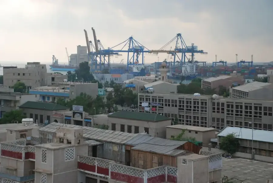
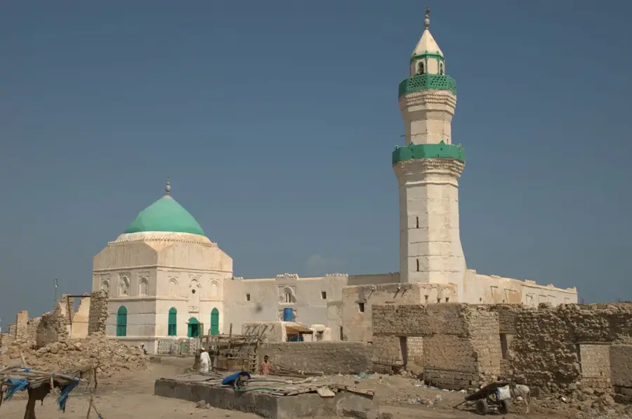
- Erkowit is situated about 45 kilometers southwest of the port city of Suakin.
- The average elevation of the plateau is approximately 1200 meters above sea level.
- It is home to the endangered Dracaena ombet tree species.
- The area receives substantial moisture from coastal fog compared to the desert.
- During the colonial period, Erkowit was used as a sanatorium for British officials.
- The granite rocks in the region are part of formations over 500 million years old.
Explore nearby
Notable places around
Route planner — Car & Motorhome
Where do you start? We build the route here, with stops and country notes along the way.
© OpenStreetMap contributors · OpenRouteService
Sights nearby
Frequently asked questions
Why are the Erkowit Mountains so special?
Is the region suitable for hiking?
Is warm clothing needed?
Are there hotels?
When is the best time to visit?
Erkowit: where is it located?
Erkowit: when is the best time to visit?
Erkowit: why is it worth visiting?

Nearby cities


History & landmarks
Nature
More places