Plizio Visual Lab
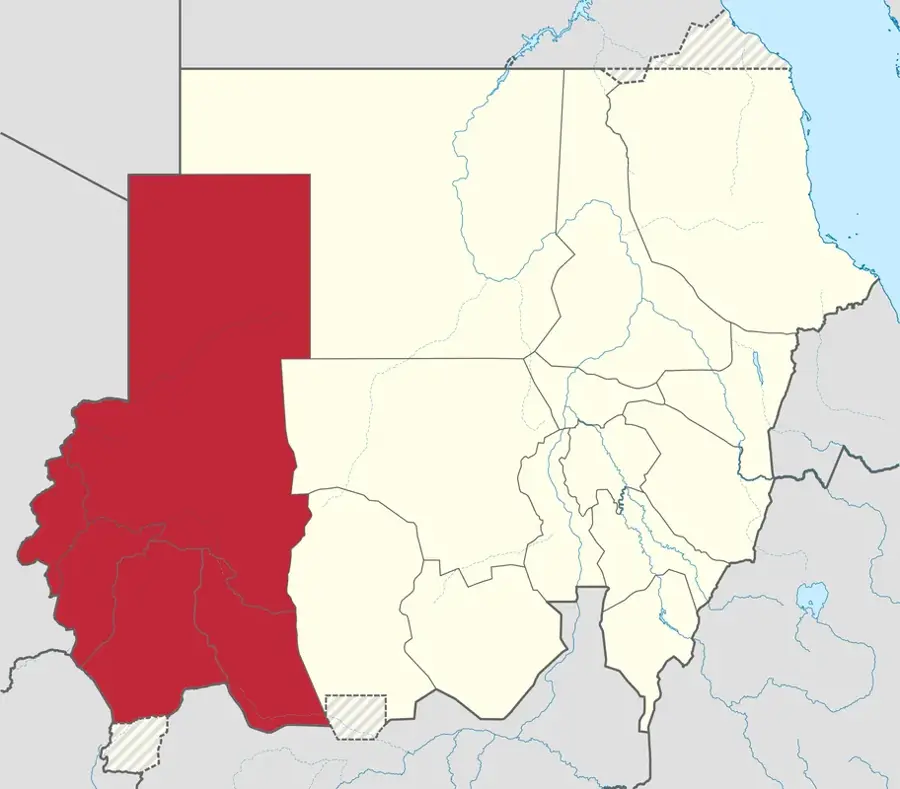
Wadi Azum
Weather…
Water temperature…
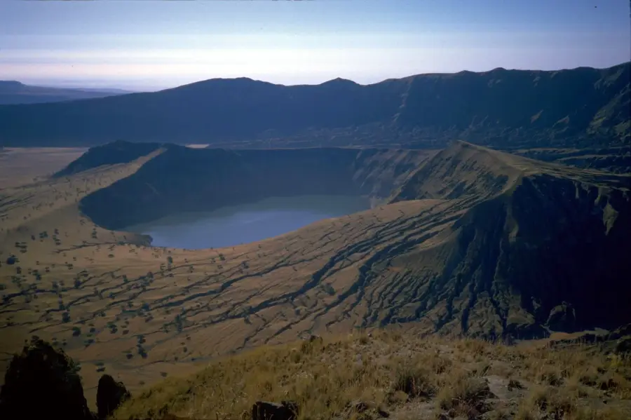
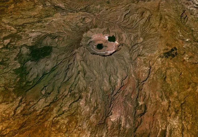
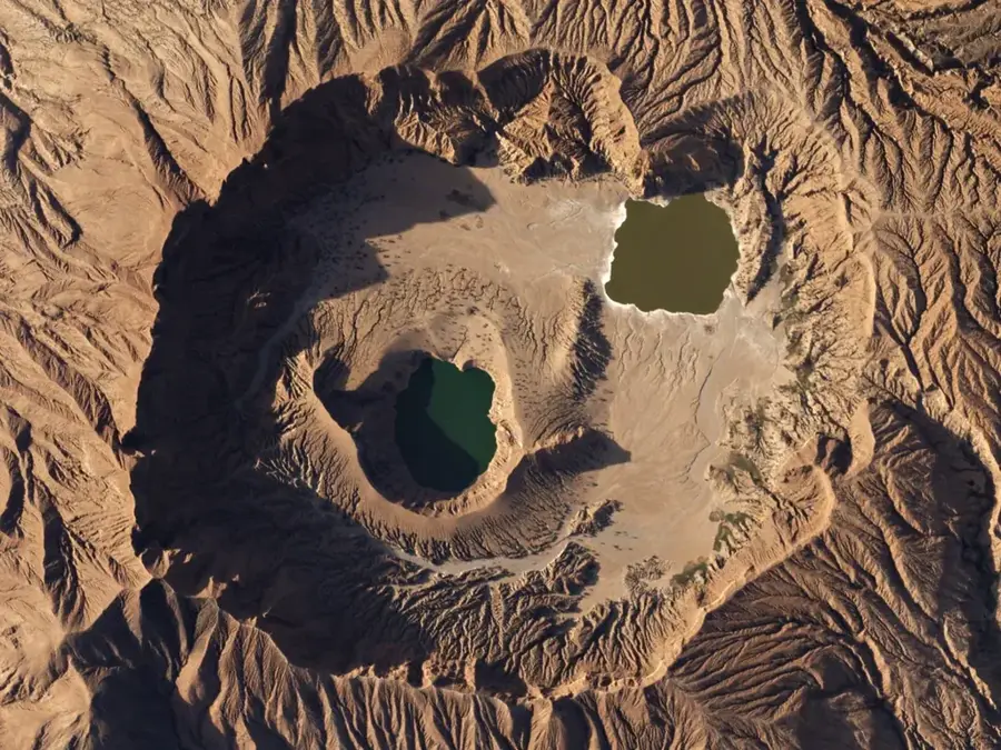
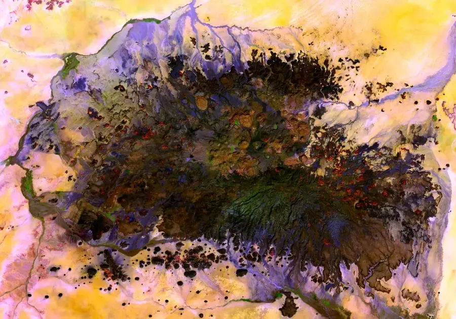
Wadi Azum is the primary drainage system in Central Darfur, originating from the western slopes of the Jebel Marra volcanic complex. It is a seasonal watercourse that carries massive volumes of water during the rainy season, making it indispensable for agriculture in the region. The wide, sandy plains along the wadi provide fertile soil for the cultivation of vegetables, fruits, and grains, making the area one of the breadbaskets of Darfur. Historically, the banks of Wadi Azum were centers of human settlement and important trade routes within the Sahel zone. In the modern era, managing the water resources in the wadi is crucial for the stability and food security of the local population. Despite the seasonal dryness, groundwater beneath the sandy riverbed often remains accessible at shallow depths, allowing for the creation of shallow wells for year-round irrigation. The wadi's ecological importance extends to wildlife, as it serves as a corridor for migratory species.
Best time to visit & climate
The most pleasant time to visit is Jan, Nov, Dec.
| Jan | Feb | Mar | Apr | May | Jun | Jul | Aug | Sep | Oct | Nov | Dec | |
|---|---|---|---|---|---|---|---|---|---|---|---|---|
| Avg °C | 23 | 25 | 28 | 29 | 30 | 29 | 25 | 24 | 25 | 26 | 24 | 23 |
| Rain mm | 0 | 0 | 0 | 1 | 14 | 36 | 179 | 237 | 69 | 21 | 0 | 0 |
📋 Practical info
Geography
Facts
- It is the primary drainage system for the western slopes of the Jebel Marra.
- The wadi joins with Wadi Tiwal to eventually feed the Chari River system.
- It supports a high density of agricultural settlements in the West Darfur state.
- Seasonal floods can increase the width of the riverbed to several hundred meters.
- Groundwater levels in the wadi bed remain accessible even during the dry season.
- It forms part of the trans-boundary water system between Sudan and Chad.
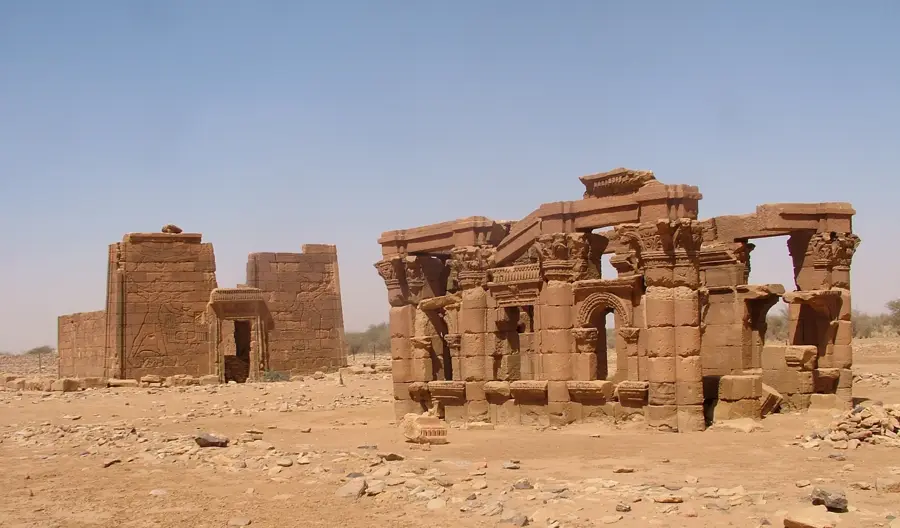
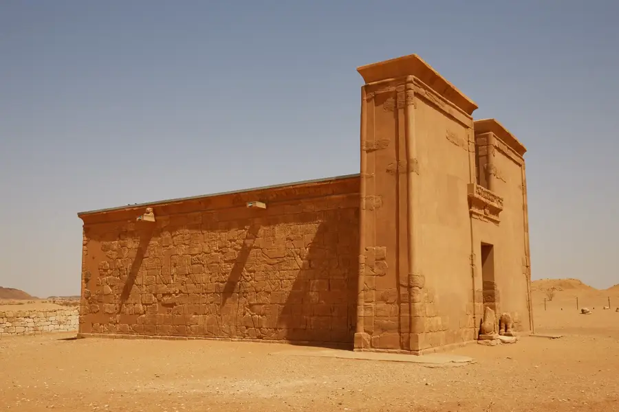
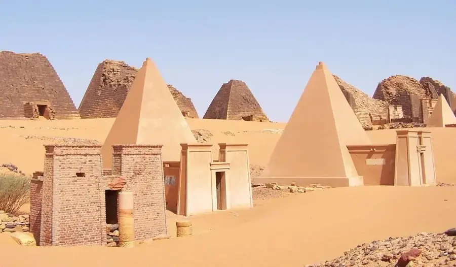
Explore nearby
Notable places around
Route planner — Car & Motorhome
Where do you start? We build the route here, with stops and country notes along the way.
© OpenStreetMap contributors · OpenRouteService
Sights nearby
Frequently asked questions
Is Wadi Azum accessible for tourists?
What is the main feature?
How do I prepare?
Is there mobile signal?
How safe is it?
Wadi Azum: where is it located?
Wadi Azum: when is the best time to visit?
Wadi Azum: why is it worth visiting?

Nearby cities


History & landmarks

Nature


More places