Plizio Visual Lab
Merowe Dam Region

Weather…
Water temperature…
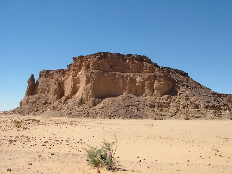
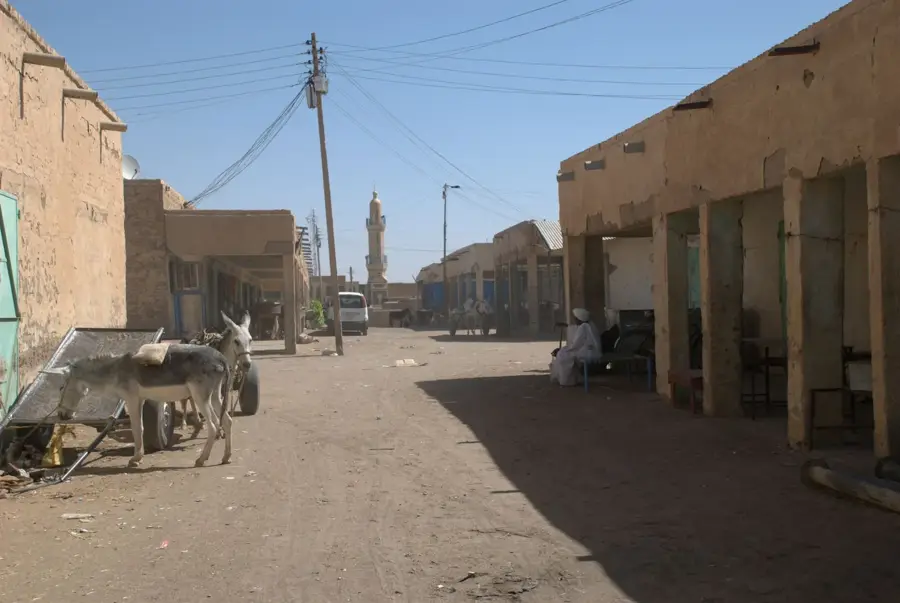
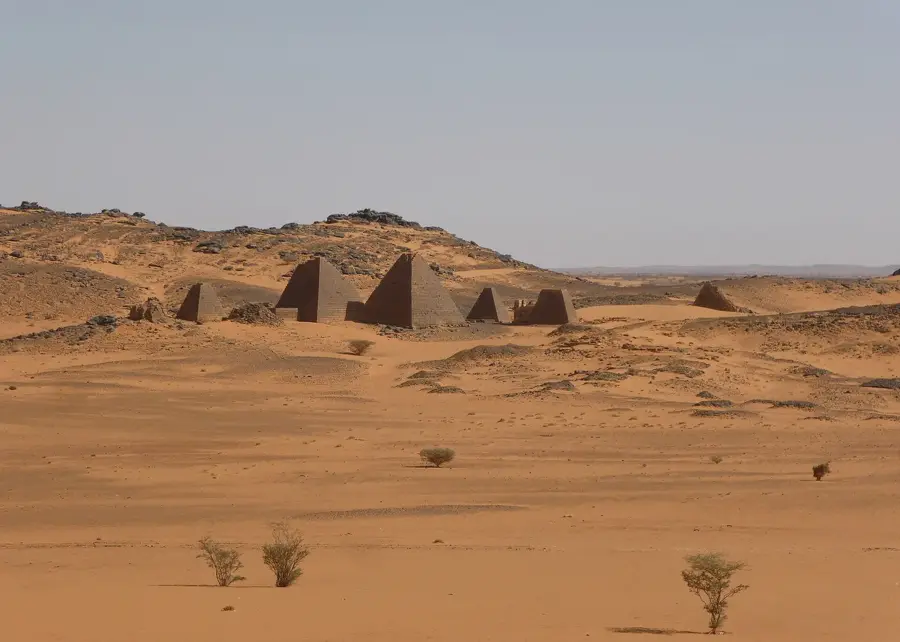
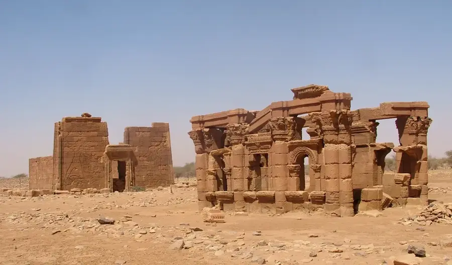
The Merowe Dam region in northern Sudan is the site of one of Africa's largest infrastructure projects, significantly impacting both national energy production and agriculture. Constructed at the Nile's Fourth Cataract, the dam was officially inaugurated in 2009 and possesses an installed capacity of 1,250 megawatts. Beyond hydroelectric power, the reservoir, which extends for 174 kilometers, provides irrigation for vast agricultural schemes in the Nubian Desert. These new cultivation areas enable the production of wheat, dates, and alfalfa in regions that were previously non-arable. However, the project also faced substantial social challenges, necessitating the resettlement of approximately 50,000 people from the flooded zones. Archaeologically, the dam's construction triggered extensive salvage excavations to preserve remnants of the ancient Kushite civilization before the reservoir filled. The dam structure itself spans approximately 9 kilometers in length, creating one of the country's largest artificial lakes. Currently, the region serves as a hub for modern, large-scale irrigation-based agriculture in Sudan.
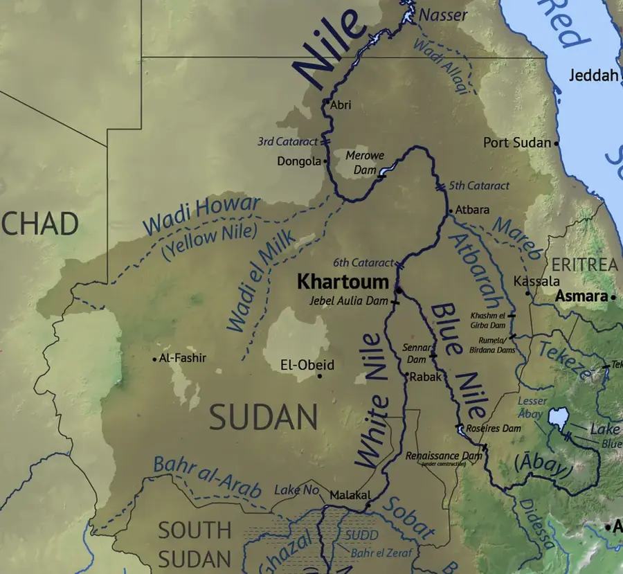
- Location: Sudan
- Nearby: Karima (7 km)
Best time to visit & climate
The most pleasant time to visit is Jan, Feb, Dec.
| Jan | Feb | Mar | Apr | May | Jun | Jul | Aug | Sep | Oct | Nov | Dec | |
|---|---|---|---|---|---|---|---|---|---|---|---|---|
| Avg °C | 19 | 22 | 25 | 29 | 33 | 35 | 35 | 36 | 35 | 31 | 25 | 20 |
| Rain mm | 0 | 0 | 0 | 0 | 0 | 0 | 3 | 3 | 0 | 0 | 0 | 0 |
📋 Practical info
Geography
Facts
- Official inauguration of the dam occurred in 2009
- Installed electrical capacity is 1,250 megawatts
- The reservoir extends over a length of 174 kilometers
- Approximately 50,000 people were resettled for the project
- The total length of the dam structure is around 9 kilometers
- The storage volume is approximately 12.5 cubic kilometers
Explore nearby
Notable places around
Route planner — Car & Motorhome
Where do you start? We build the route here, with stops and country notes along the way.
© OpenStreetMap contributors · OpenRouteService
Sights in the town Merowe Dam Region (1)
Sights nearby
Frequently asked questions
What does the Merowe Dam mean for the region?
Is the area touristy?
What is nearby?
When is it cool there?
Is camping allowed?
Merowe Dam Region: where is it located?
Merowe Dam Region: when is the best time to visit?
Merowe Dam Region: why is it worth visiting?

Nearby cities

History & landmarks

Nature

More places