Plizio Visual Lab
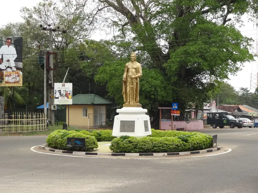
Pidurutalagala
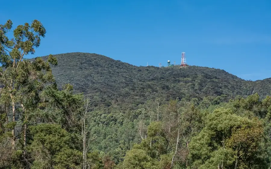
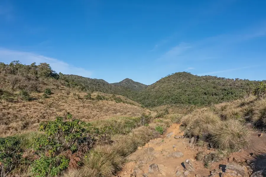
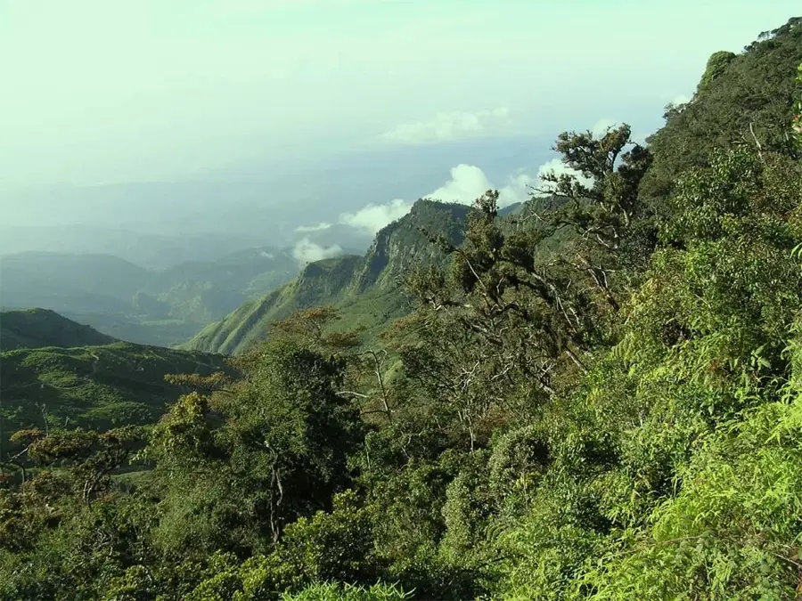
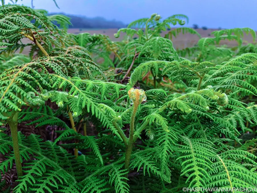
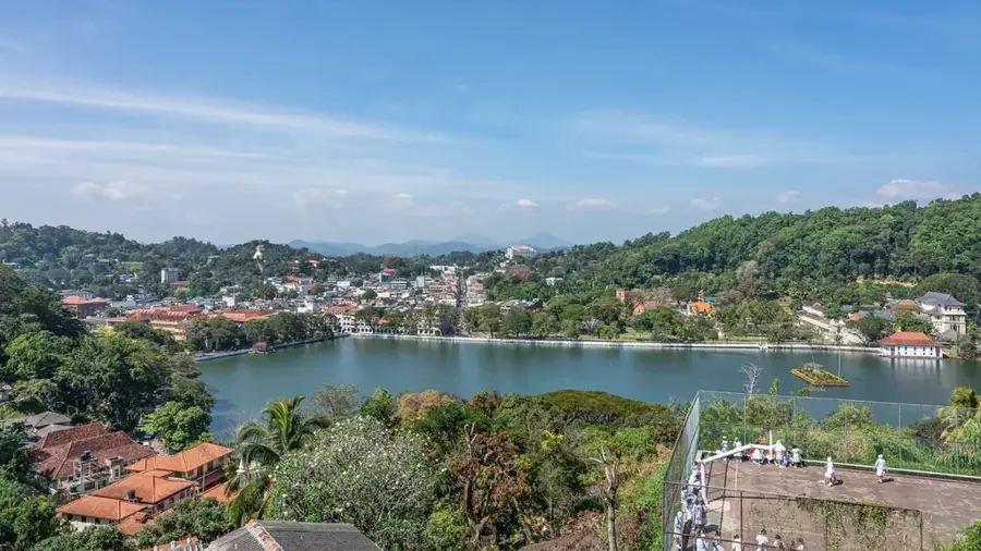
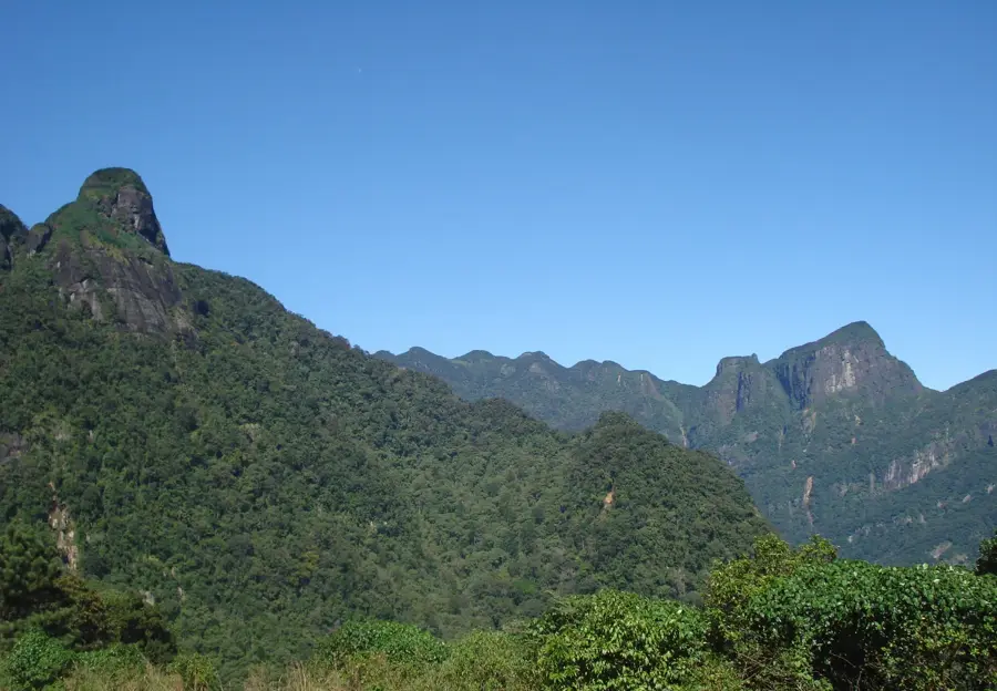
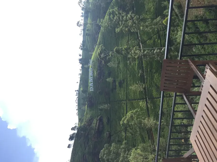
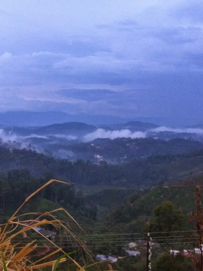
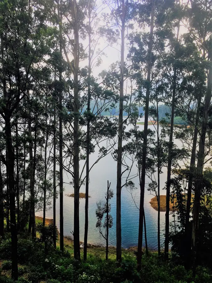
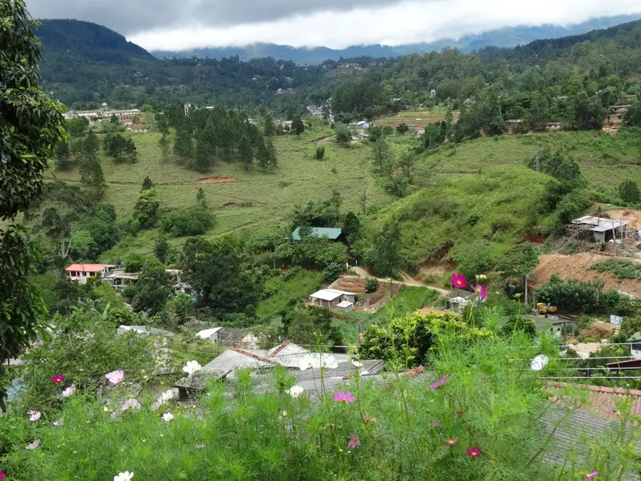
Pidurutalagala, also referred to as Mount Pedro, is the highest mountain in Sri Lanka, reaching an elevation of 2,524 meters above sea level. Located in the Nuwara Eliya District within the central highlands, it serves as the dominant peak of the island's interior. Due to its strategic importance for national infrastructure, the summit houses the country's main telecommunication transmitters and a military radar station, which makes the immediate summit area a restricted zone with limited public access. Geographically, the mountain is a central component of the highlands and significantly influences the local temperate climate. The slopes of Pidurutalagala are covered with unique montane cloud forests, home to various endemic plant and animal species found nowhere else. While climbing to the very top is restricted, the mountain remains a prominent landmark overlooking the tea estates and the city of Nuwara Eliya, symbolizing the pinnacle of Sri Lankan geography.
- Location: Sri Lanka
- Top sights: Pidurutalagala · Mandaramnuwara Temple · Udawela Temple
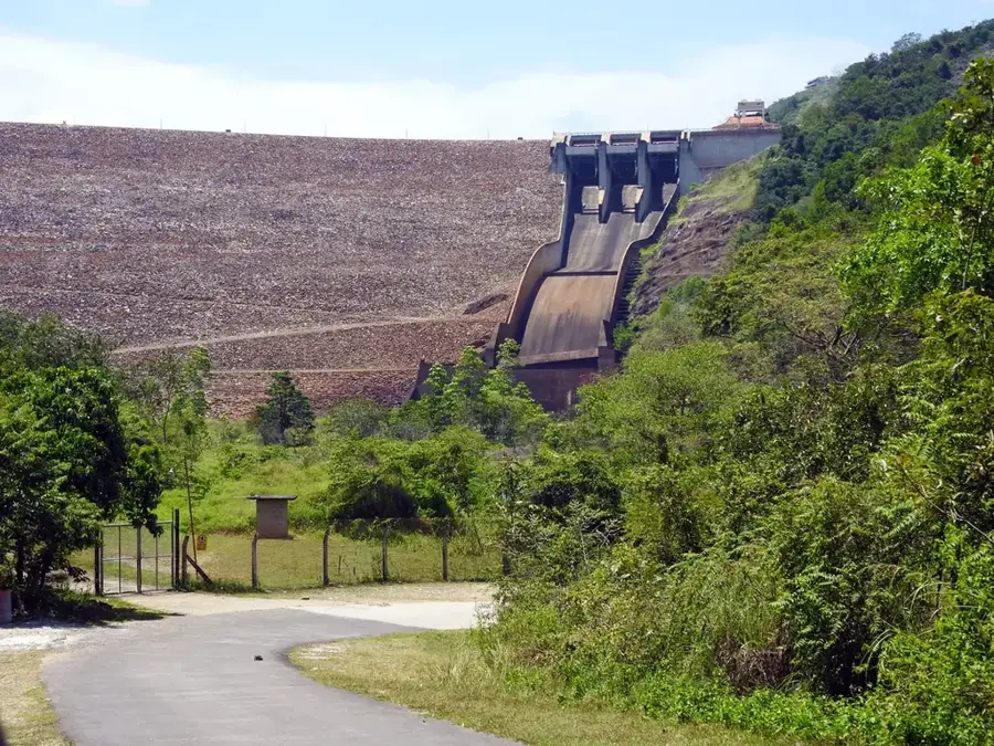
- Nearby: Knuckles Range (9 km)
Best time to visit & climate
The most pleasant time to visit is Feb, Jun, Jul.
| Jan | Feb | Mar | Apr | May | Jun | Jul | Aug | Sep | Oct | Nov | Dec | |
|---|---|---|---|---|---|---|---|---|---|---|---|---|
| Avg °C | 23 | 23 | 25 | 26 | 26 | 26 | 26 | 26 | 26 | 25 | 24 | 23 |
| Rain mm | 144 | 106 | 102 | 155 | 128 | 62 | 50 | 65 | 112 | 221 | 289 | 262 |
📋 Practical info
Geography
Facts
- Pidurutalagala is the highest point in Sri Lanka at 2,524 meters.
- The mountain is located in the Nuwara Eliya District of the central highlands.
- Its English name is Mount Pedro.
- The summit houses the most important radar station of the Sri Lankan military.
- The peak is a high-security zone and is generally closed to the public.
- The mountain's slopes feature rare montane cloud forest ecosystems.
Explore nearby
Notable places around
Route planner — Car & Motorhome
Where do you start? We build the route here, with stops and country notes along the way.
© OpenStreetMap contributors · OpenRouteService
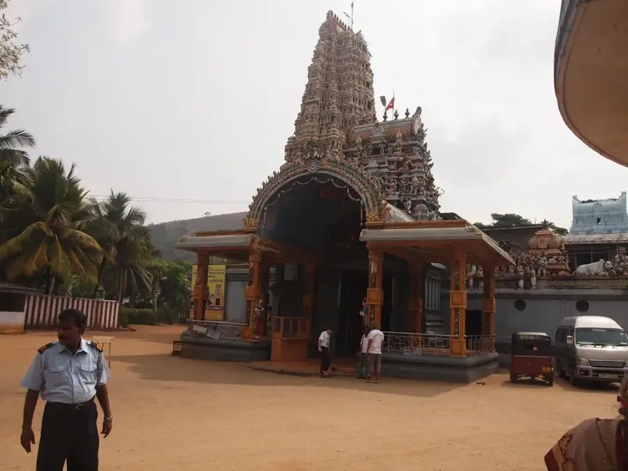
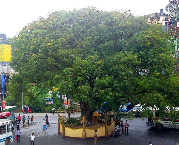
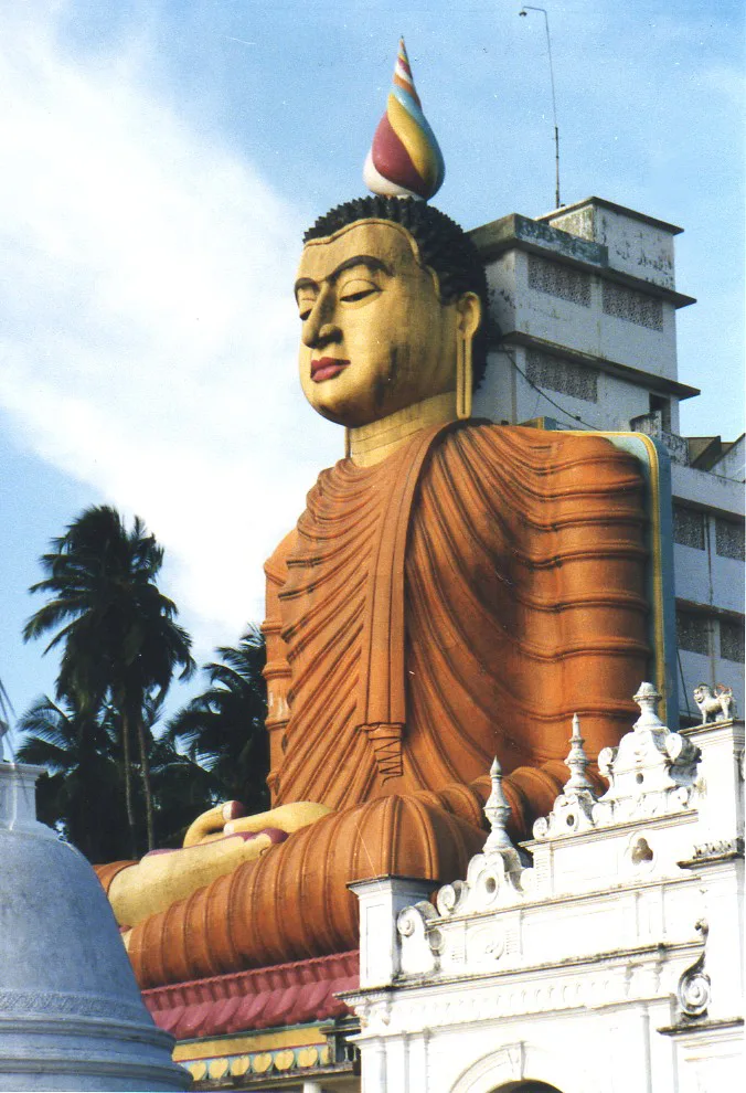
Sights in the town Pidurutalagala (4)
Sights nearby
Frequently asked questions
Is hiking allowed to the summit of Pidurutalagala?
How high is Pidurutalagala?
Is a permit required for the visit?
Is photography allowed at the summit?
What is the weather like on the mountain?
Pidurutalagala: where is it located?
Pidurutalagala: what is there to see?
Pidurutalagala: when is the best time to visit?
Pidurutalagala: why is it worth visiting?

Nearby cities

History & landmarks

More places