Plizio Visual Lab
Kirigalpotta
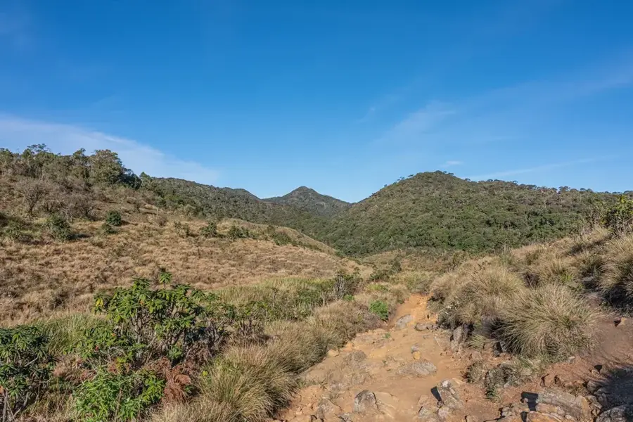
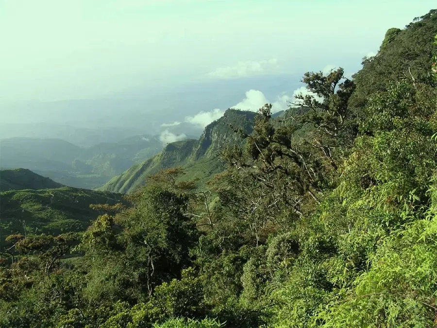
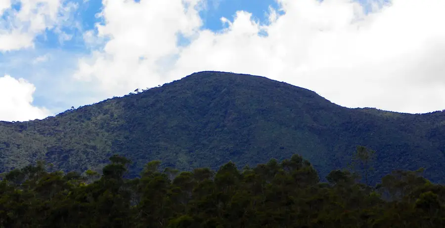
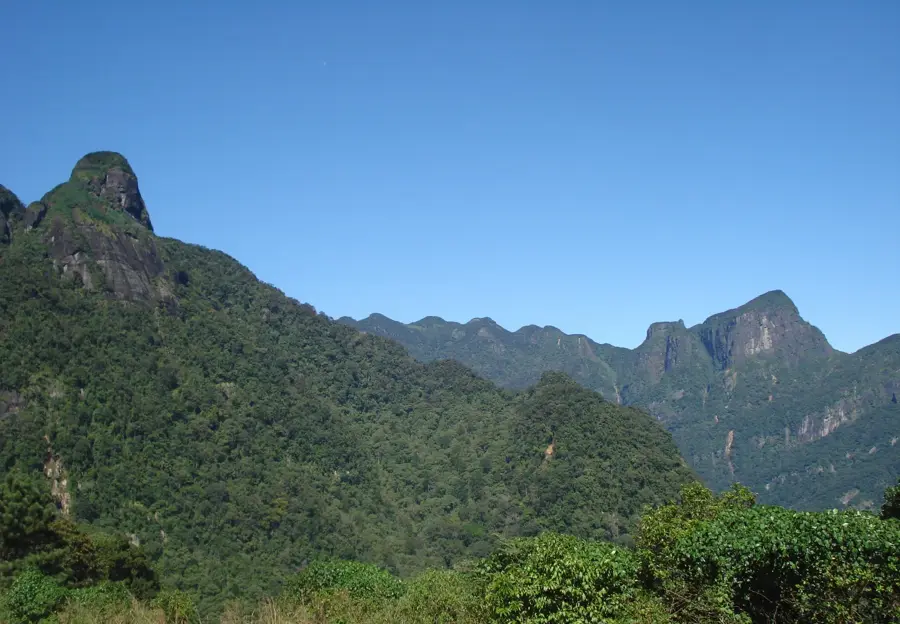
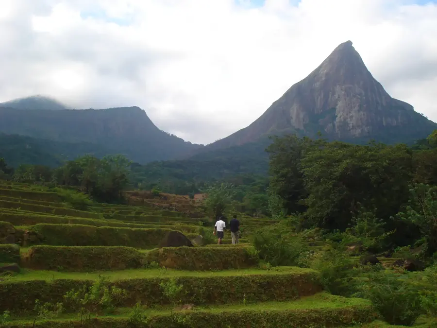
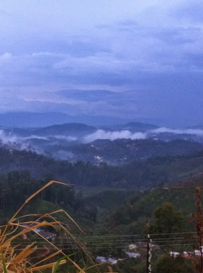
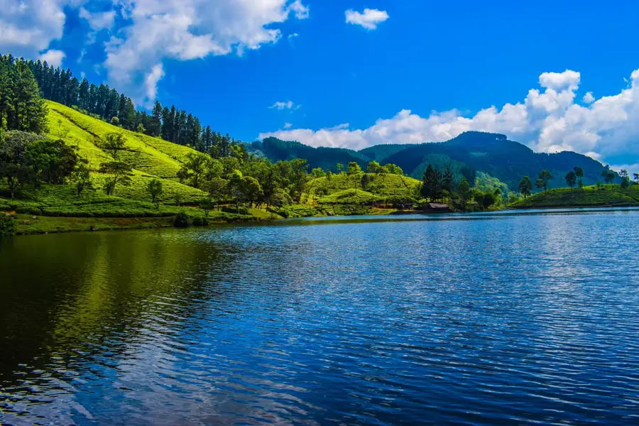
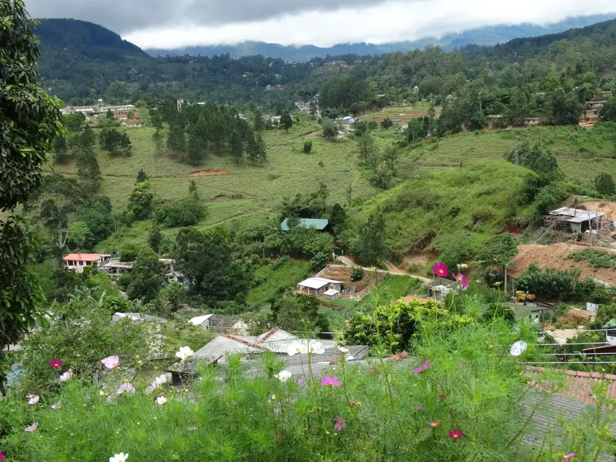
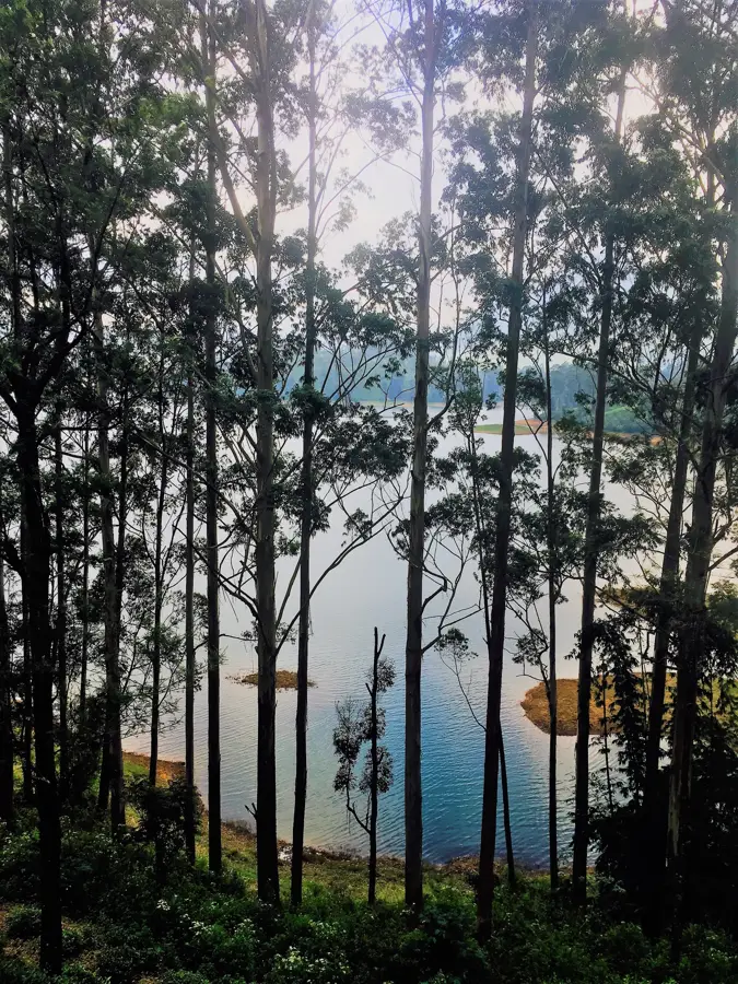
Kirigalpotta is the second highest mountain in Sri Lanka, standing at 2,388 meters, and is the highest peak accessible to the general public. Located within the Horton Plains National Park in the Nuwara Eliya District, the summit is reachable via a hiking trail approximately 7 kilometers long. The ascent is considered challenging, as it leads through dense montane forests, marshy plains, and over rocky terrain. From the summit, spectacular views of the Horton Plains and the surrounding mountain range are visible in clear weather. The mountain is ecologically significant, providing habitat for many endemic species, including rare orchids and the Sri Lankan leopard. Due to its high altitude, cool temperatures and unpredictable weather are common, advising hikers to be cautious. Kirigalpotta is a popular destination for mountain climbers and nature enthusiasts seeking to experience the untouched wilderness of the central highlands.
- Location: Sri Lanka
- Top sights: Kirigalpotta · World's End (Plate 1) · Baker's Bend
- Nearby: Knuckles Range (12 km)
Best time to visit & climate
The most pleasant time to visit is Feb, Jun, Jul.
| Jan | Feb | Mar | Apr | May | Jun | Jul | Aug | Sep | Oct | Nov | Dec | |
|---|---|---|---|---|---|---|---|---|---|---|---|---|
| Avg °C | 23 | 23 | 25 | 26 | 26 | 26 | 26 | 26 | 26 | 25 | 24 | 23 |
| Rain mm | 144 | 106 | 102 | 155 | 128 | 62 | 50 | 65 | 112 | 221 | 289 | 262 |
📋 Practical info
Geography
Facts
- At 2,388 meters, it is the second highest mountain on the island.
- The trail to the summit begins at the entrance of Horton Plains National Park.
- The round-trip hike to the peak covers a total distance of about 14 kilometers.
- It is the highest point in Sri Lanka that the general public can legally summit.
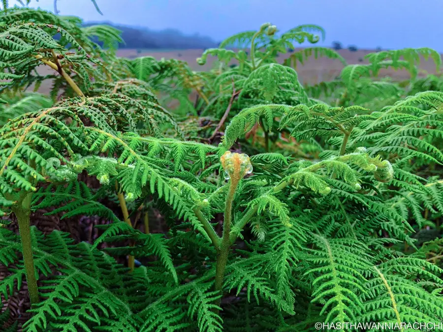
- Rare endemic plants like the Binara flower can be found along the slopes.
- The path to the peak crosses through dense bamboo forests and peat bogs.
Explore nearby
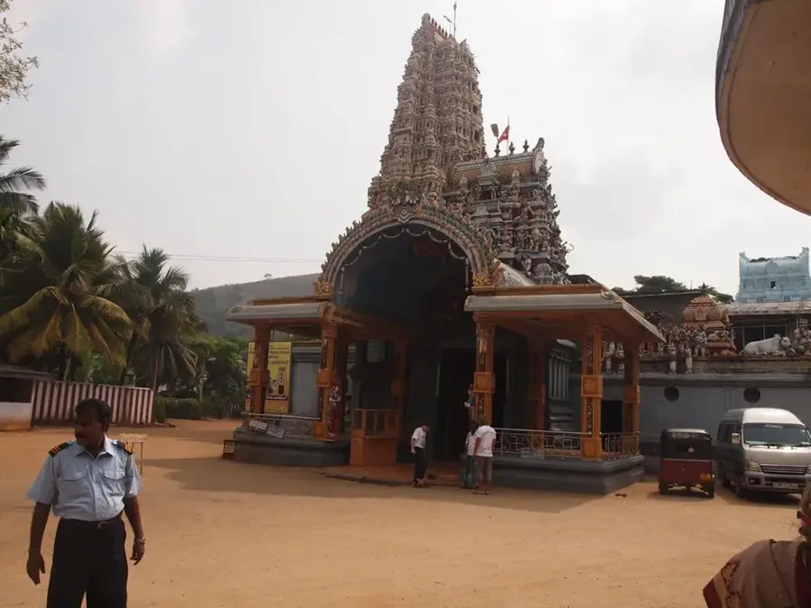
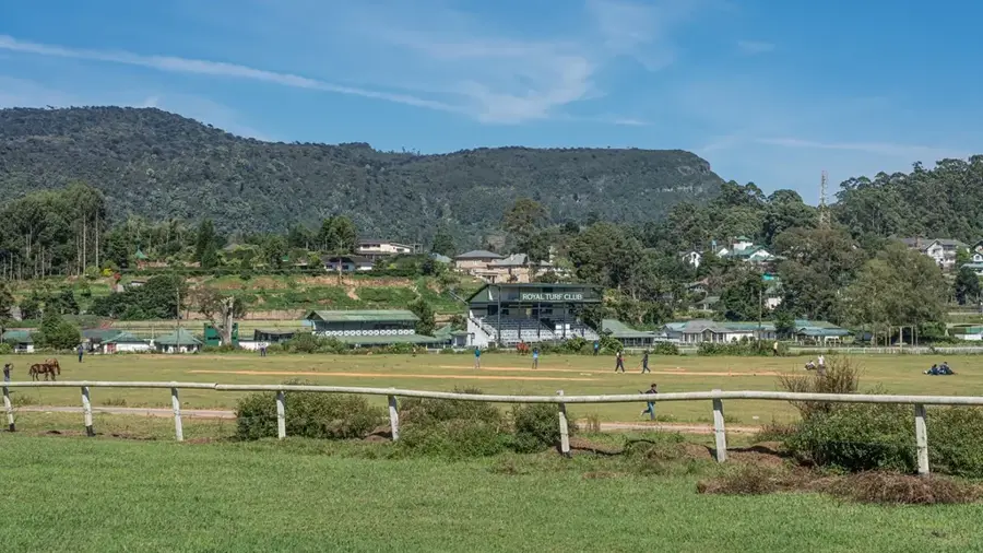
Notable places around
Route planner — Car & Motorhome
Where do you start? We build the route here, with stops and country notes along the way.
© OpenStreetMap contributors · OpenRouteService
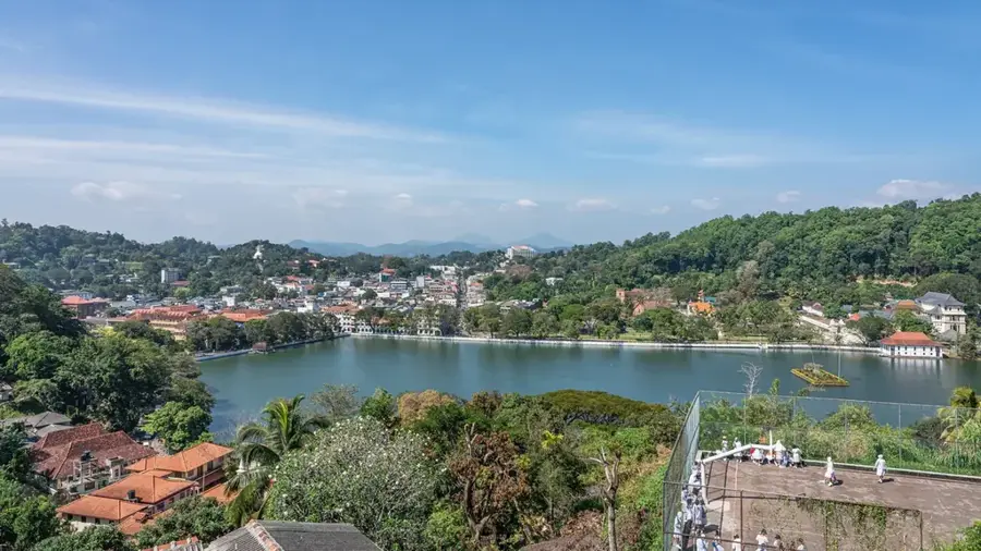
Sights in the town Kirigalpotta (6)
Sights nearby
Frequently asked questions
How difficult is the hike to Kirigalpotta?
Where does the trail start?
Are there leeches on the trail?
Is a guide necessary for Kirigalpotta?
How is the view from the summit?
Kirigalpotta: where is it located?
Kirigalpotta: what is there to see?
Kirigalpotta: when is the best time to visit?
Kirigalpotta: why is it worth visiting?

Nearby cities

More places