Plizio Visual Lab
Nakdong River
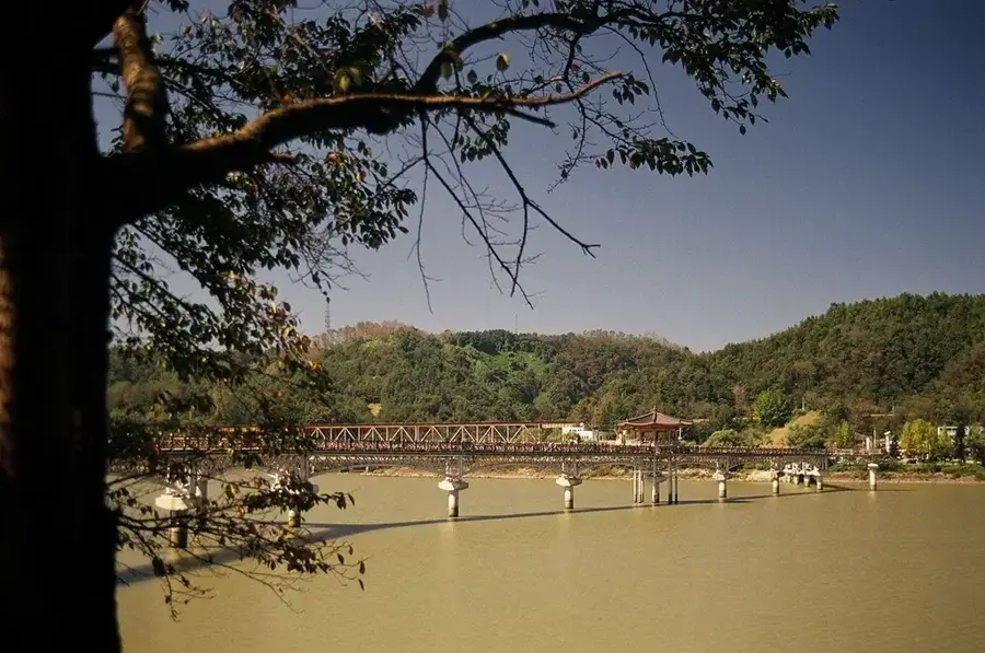
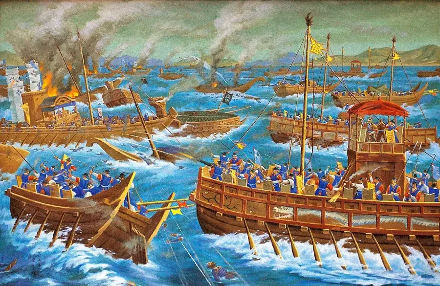
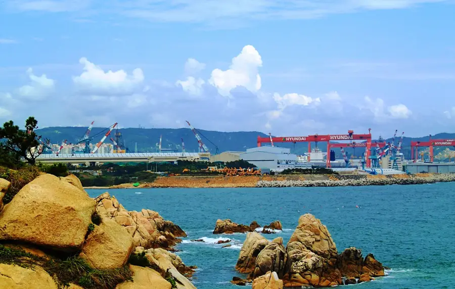
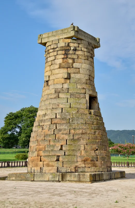
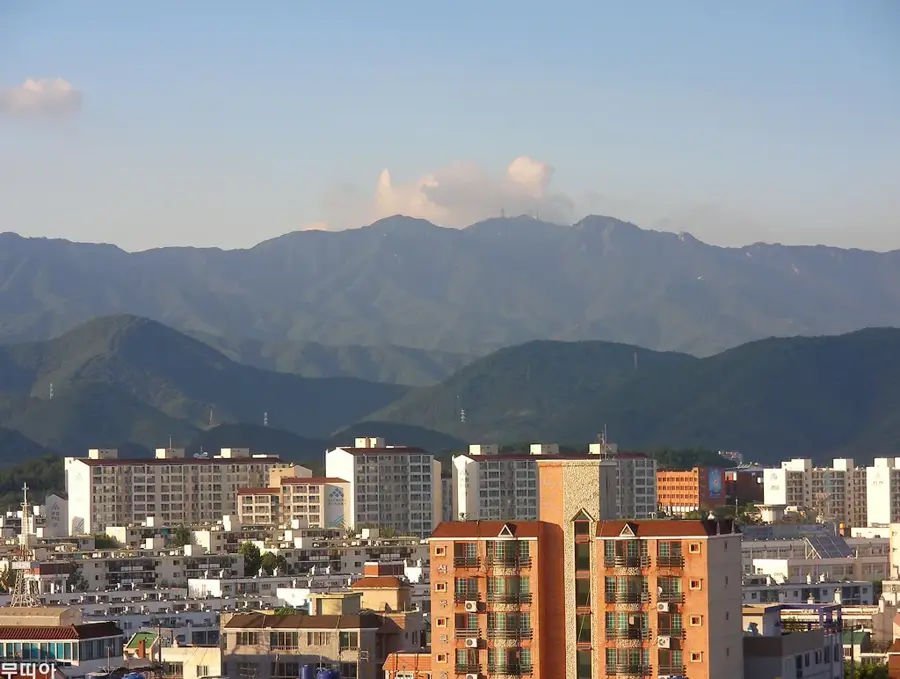
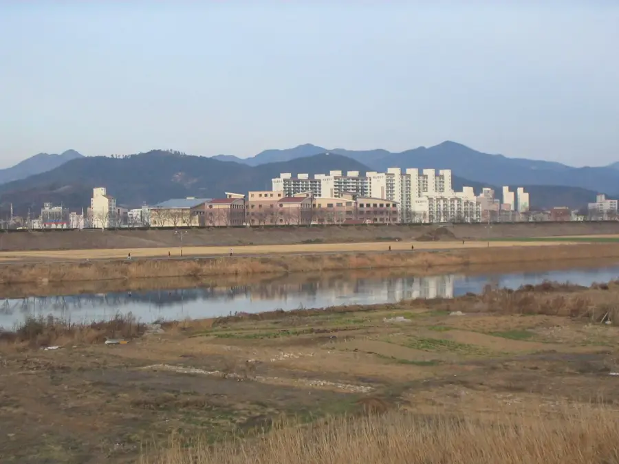
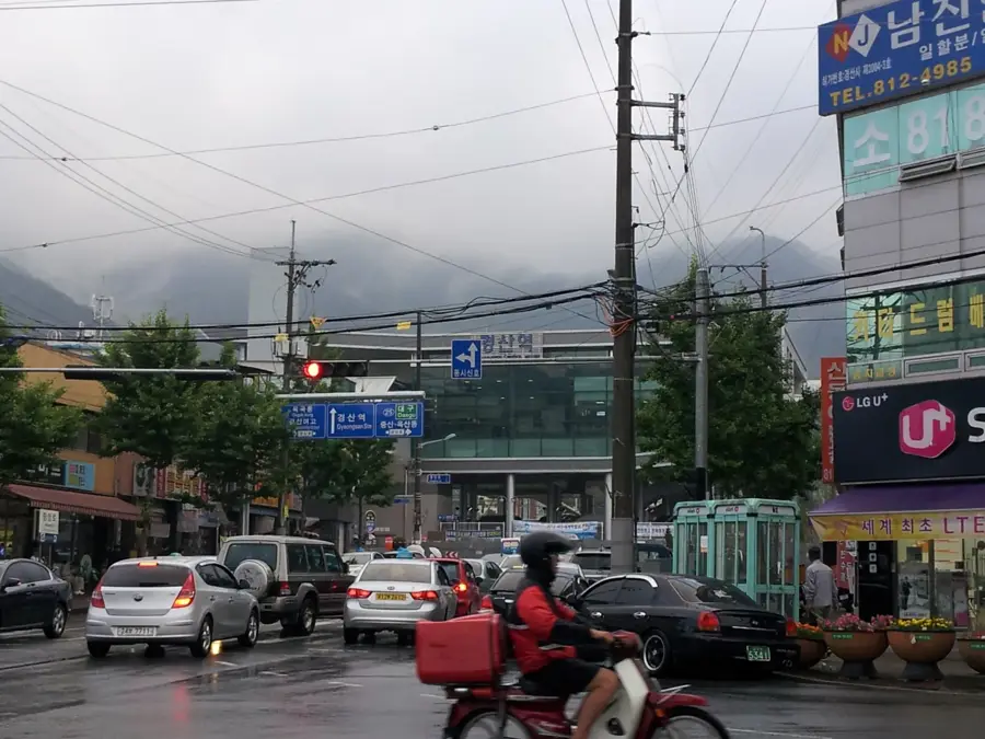
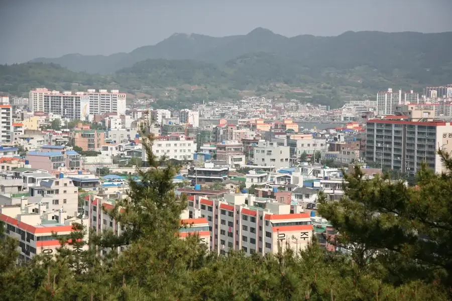
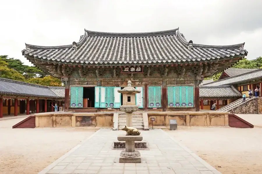
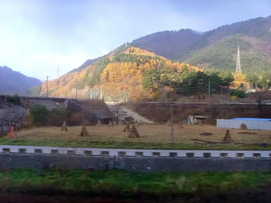
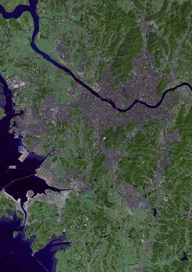
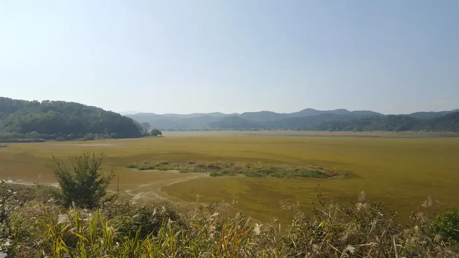
The Nakdong River is the longest river in South Korea, stretching approximately 521 kilometers from its source in the Taebaek Mountains to its mouth at the Korea Strait in Busan. It drains an area of 23,384 square kilometers, covering a significant portion of the nation's southeastern region. Historically, the river has been a vital artery for transportation, agriculture, and the settlement of ancient civilizations such as the Gaya and Silla kingdoms. During the Korean War, the river formed the defensive perimeter known as the Pusan Perimeter, which was crucial in preventing the collapse of the South. Today, the Nakdong basin remains a major industrial and agricultural hub, supporting cities like Daegu and Busan. The river's estuary is a designated natural monument, serving as a critical habitat for migratory birds and maintaining regional biodiversity.
- Location: South Korea
- Top sights: Noksan Sulfur Hot Spring · Star Tree · Gadeok Bridge
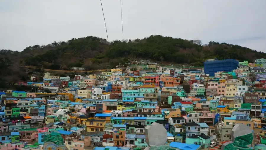
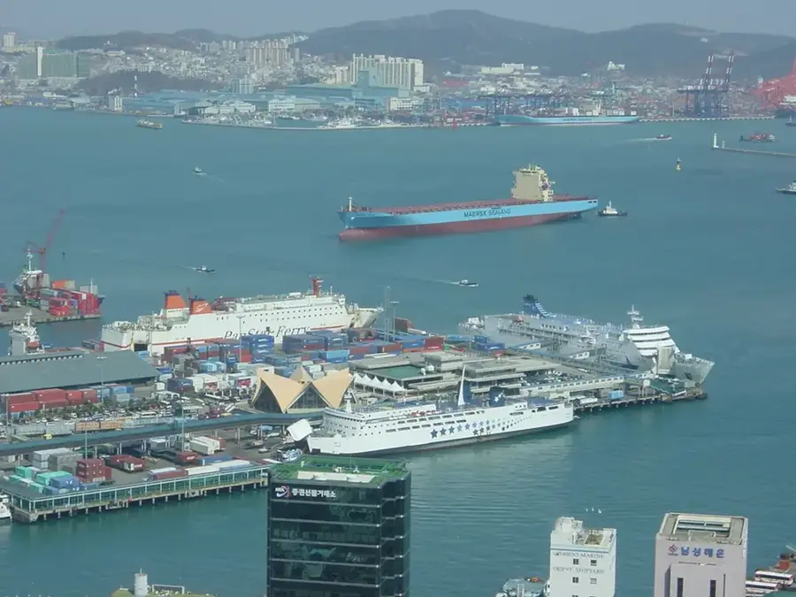
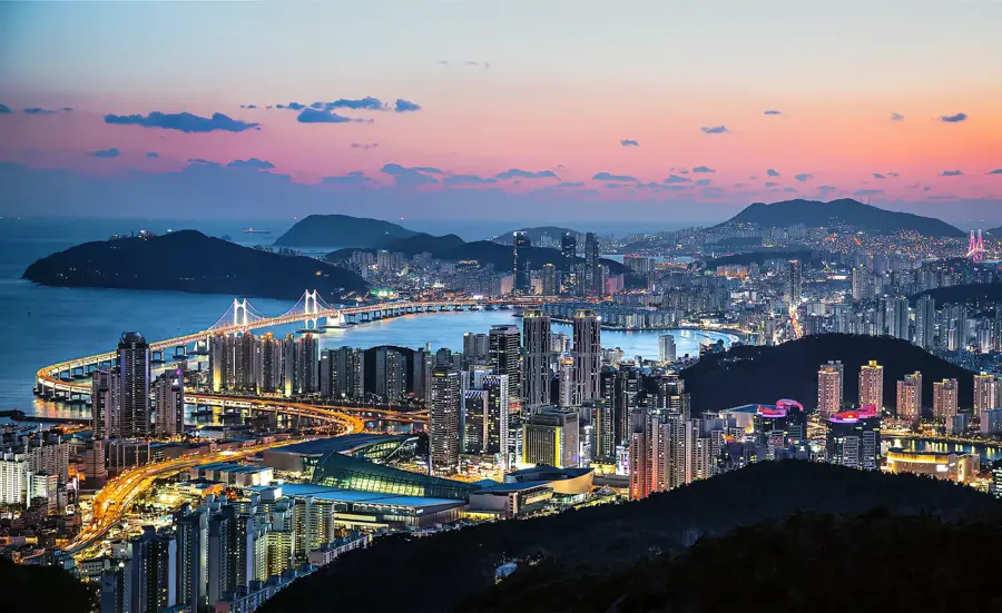
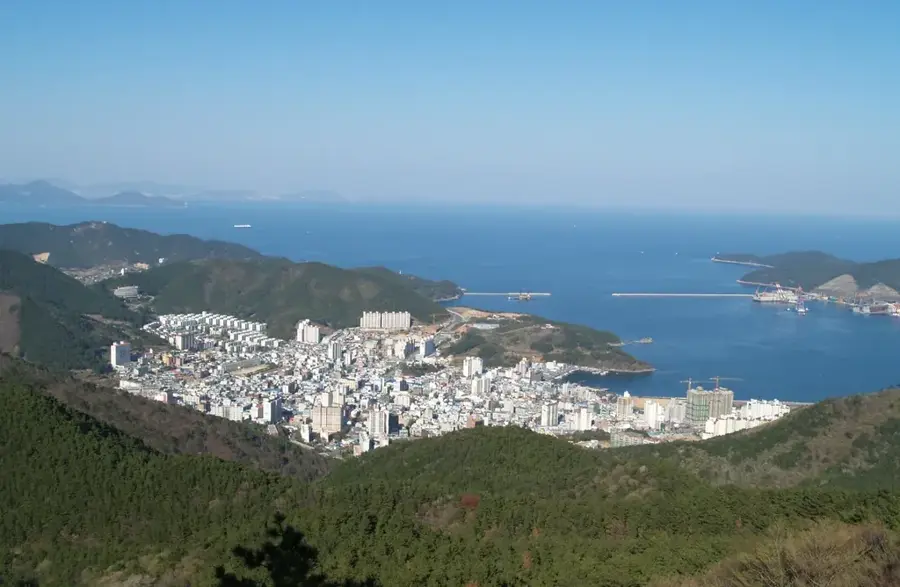
- Nearby: Busan (20 km)
Best time to visit & climate
The most pleasant time to visit is Jun, Sep, Oct.
| Jan | Feb | Mar | Apr | May | Jun | Jul | Aug | Sep | Oct | Nov | Dec | |
|---|---|---|---|---|---|---|---|---|---|---|---|---|
| Avg °C | 2 | 4 | 8 | 13 | 17 | 21 | 24 | 26 | 22 | 17 | 11 | 4 |
| Rain mm | 30 | 52 | 79 | 137 | 144 | 175 | 299 | 244 | 176 | 75 | 46 | 33 |
📋 Practical info
Geography
Facts
- Total length of 521 kilometers
- Basin area of 23,384 square kilometers
- Discharges into the Korea Strait at Busan
- Source is the Hwangji Pond in Taebaek
- Forms the 1950 Pusan Perimeter defense line
- Primary water source for 10 million people
Explore nearby
Notable places around
Route planner — Car & Motorhome
Where do you start? We build the route here, with stops and country notes along the way.
© OpenStreetMap contributors · OpenRouteService
Sights in the town Nakdong River (6)
Sights nearby
Frequently asked questions
How long is the Nakdong River?
What is the Nakdong River Estuary Reserve?
Can you cycle along the Nakdong River?
Are there historical sites along the river?
When do the canola fields along the Nakdong River bloom?
Nakdong River: where is it located?
Nakdong River: what is there to see?
Nakdong River: when is the best time to visit?
Nakdong River: why is it worth visiting?

Nearby cities


History & landmarks

Nature
More places