Plizio Visual Lab
Han River
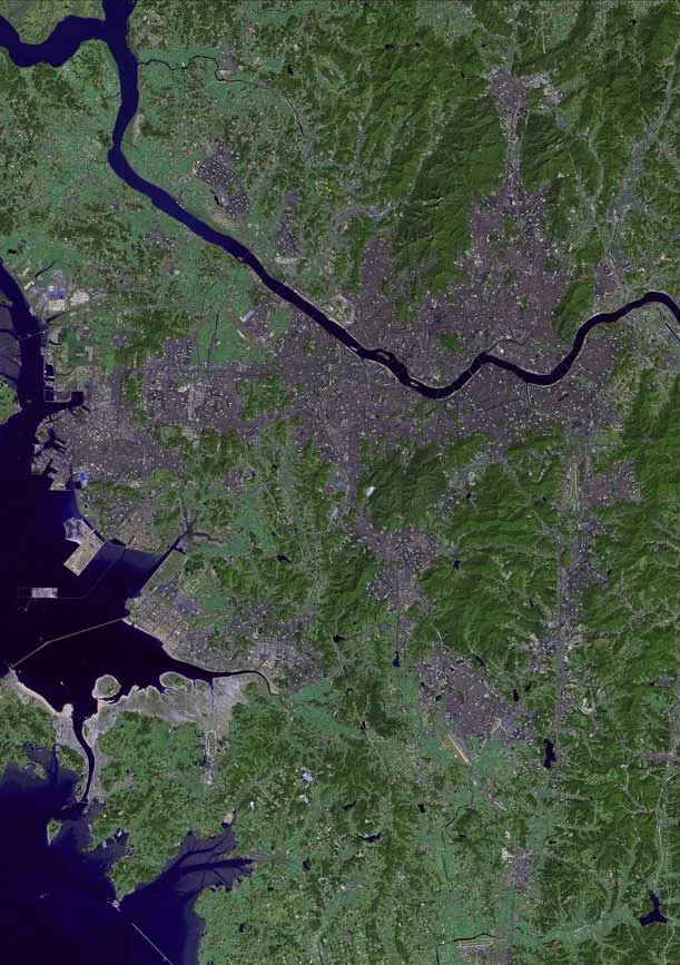
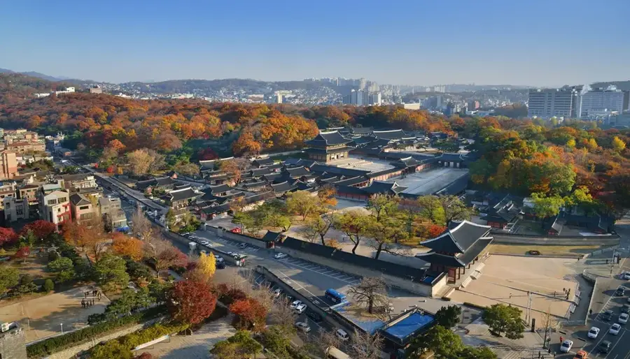
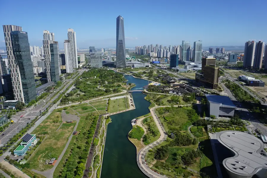
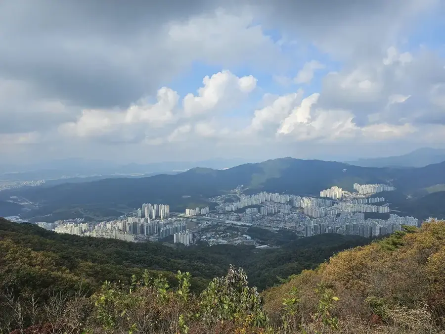
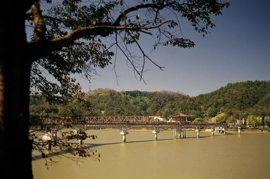
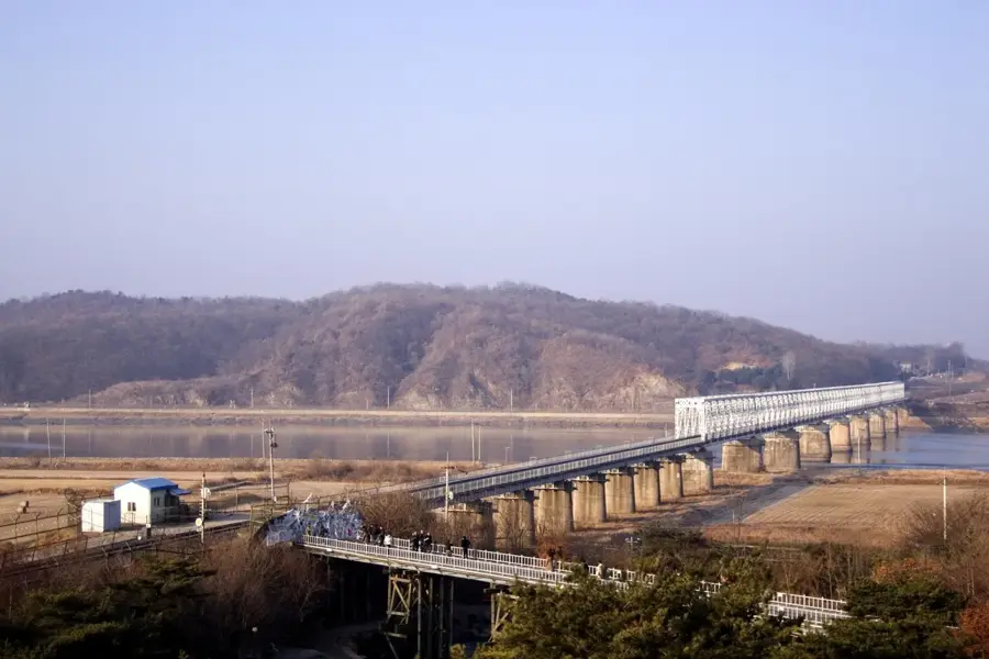
The Han River is the most significant waterway in South Korea, flowing through the heart of Seoul before emptying into the Yellow Sea. Stretching approximately 494 kilometers, it is the fourth longest river on the Korean Peninsula and is formed by the confluence of the Namhan and Bukhan rivers. Historically, control of the Han River basin was a key factor in regional dominance during the Three Kingdoms of Korea period. South Korea's rapid economic growth following the Korean War is famously termed the 'Miracle on the Han River,' highlighting its central role in the nation's industrialization and modernization. Today, the river's banks are lined with 12 expansive public parks that serve as major recreational hubs for Seoul's residents. The river is currently crossed by 27 bridges and remains a vital resource for water supply, transportation, and cultural festivities in the metropolitan area.
- Location: South Korea
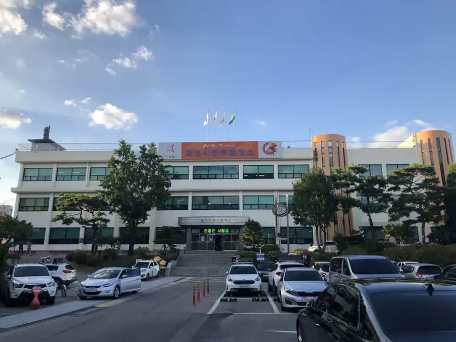
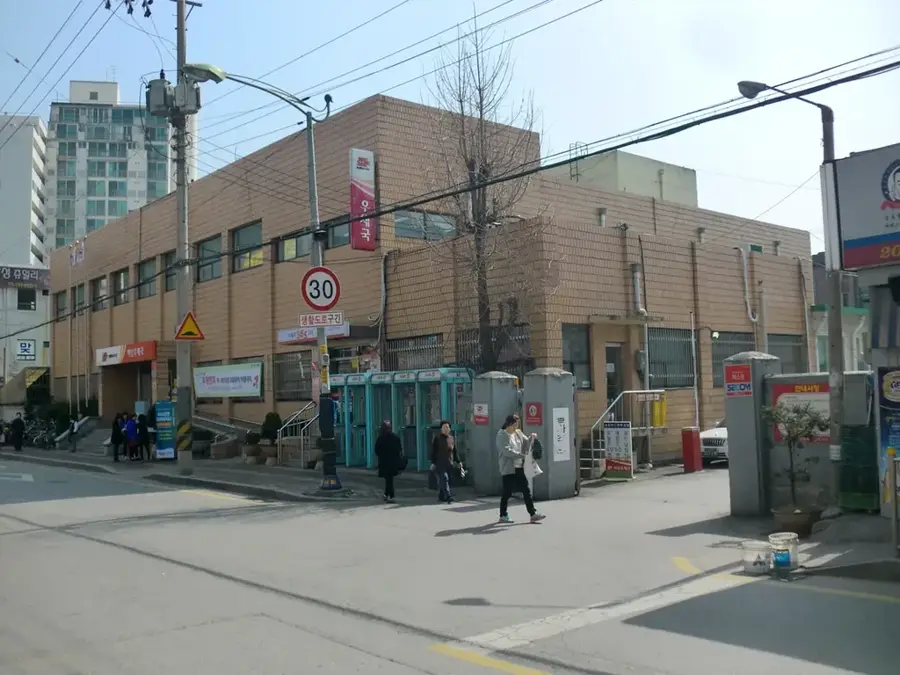
- Top sights: Korean Film Museum · KBS Hall · Gogang dong Church
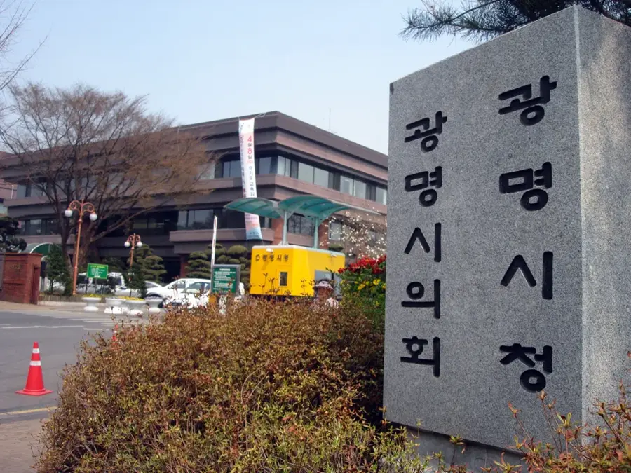
- Nearby: Gwangmyeong (6 km)
Best time to visit & climate
The most pleasant time to visit is May, Jun, Sep.
| Jan | Feb | Mar | Apr | May | Jun | Jul | Aug | Sep | Oct | Nov | Dec | |
|---|---|---|---|---|---|---|---|---|---|---|---|---|
| Avg °C | -3 | -1 | 4 | 10 | 16 | 21 | 24 | 25 | 20 | 14 | 7 | -1 |
| Rain mm | 20 | 31 | 37 | 72 | 84 | 116 | 361 | 260 | 138 | 53 | 47 | 22 |
📋 Practical info
Geography
Facts
- The total length of the Han River is about 494 kilometers.
- There are 27 bridges spanning the river within the Seoul area.
- The 'Miracle on the Han River' refers to Korea's rapid growth.
- It is formed by the junction of the Namhan and Bukhan rivers.
- Features 12 designated riverside parks for public use.
- The average width of the river in Seoul is about 1 kilometer.
Explore nearby
Notable places around
Route planner — Car & Motorhome
Where do you start? We build the route here, with stops and country notes along the way.
© OpenStreetMap contributors · OpenRouteService
Sights in the town Han River (6)
Sights nearby
Frequently asked questions
Is camping allowed by the Han River?
Are there bike paths along the river?
Can you do water sports on the Han River?
Where are the best parks along the Han River?
When is the Banpo Bridge fountain illuminated?
Han River: where is it located?
Han River: what is there to see?
Han River: when is the best time to visit?
Han River: why is it worth visiting?

Nearby cities
History & landmarks
Nature
More places